The best walks and hikes around Hillend Loch
4.8
(29)
237
hikers
13
hikes
Hiking around Hillend Loch offers a variety of trails suitable for different abilities. The area features waterside paths around the loch, extending into the surrounding open countryside. These routes often provide views of the loch and nearby natural features. The terrain is generally gentle, with some moderate sections on longer trails.
Best hiking trails around Hillend Loch
- The most popular hiking route is Picnic Area at Hillend Loch – National Cycle Route 75 Path loop from Millennium Milepost Hillend Loch, a 3.4 miles (5.4 km) trail that takes 1 hour 22 minutes to complete. This easy path follows a section of the National Cycle Route 75, offering accessible waterside walking.
- Another top favourite among local hikers is Lily and Hillend Lochs – Collapsed Wooden Bridge loop from Caldercruix, an easy 2.0 miles (3.2 km) path. This route provides views of both Lily and Hillend Lochs, traversing varied terrain including a section near a collapsed wooden bridge.
- Local hikers also love the Graffiti Wall – Carron Valley Reservoir Dam loop from Caldercruix, a 4.8 miles (7.7 km) trail leading through open land and past the Carron Valley Reservoir Dam, often completed in about 2 hours.
- Hiking around Hillend Loch is defined by waterside paths, open countryside, and views of the loch and nearby reservoirs. The network offers options for different ability levels, from easy strolls to moderate loops.
- The routes in Hillend Loch are highly rated by the komoot community with an average score of 4.8 stars from over 20 reviews. More than 200 hikers have used komoot to explore Hillend Loch's varied terrain.
Last updated: June 25, 2026
11
hikers
Easy hike. Great for any fitness level. Easily-accessible paths. Suitable for all skill levels.
5.0
(1)
5
hikers
Easy hike. Great for any fitness level. Easily-accessible paths. Suitable for all skill levels.

Sign up for free
5.0
(1)
3
hikers
7.94km
02:05
70m
70m
Moderate hike. Good fitness required. Easily-accessible paths. Suitable for all skill levels.
3.5
(6)
54
hikers
Easy hike. Great for any fitness level. Easily-accessible paths. Suitable for all skill levels.
5.0
(3)
19
hikers
2.60km
00:40
10m
10m
Easy hike. Great for any fitness level. Easily-accessible paths. Suitable for all skill levels.
Get access to more routes and recommendations from other explorers.
Sign up for free
Already have an account?
Our route recommendations are based on thousands of hikes, rides, and runs completed by other people on komoot.
Start today with a free account
Your next adventure awaits.
Login or Signup
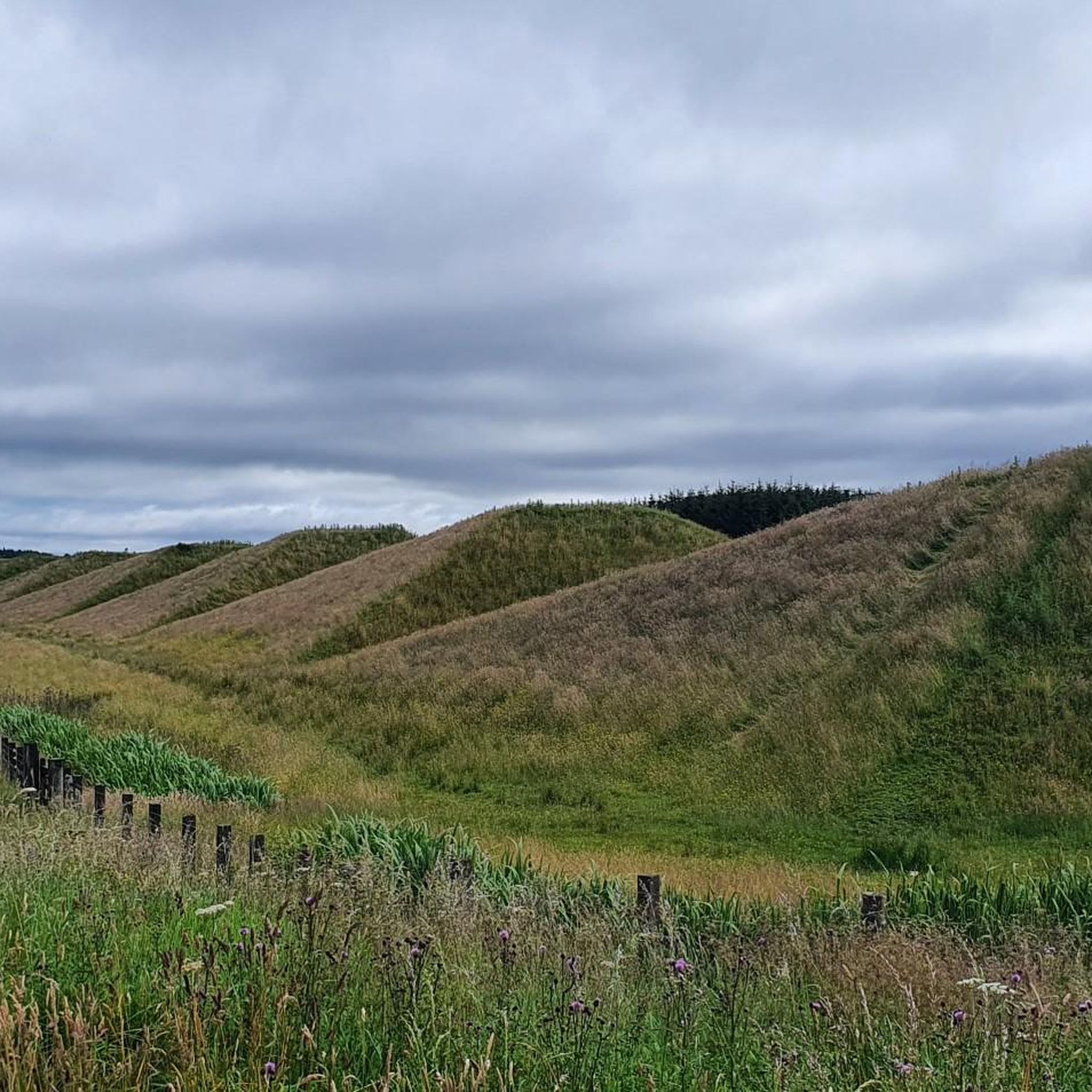

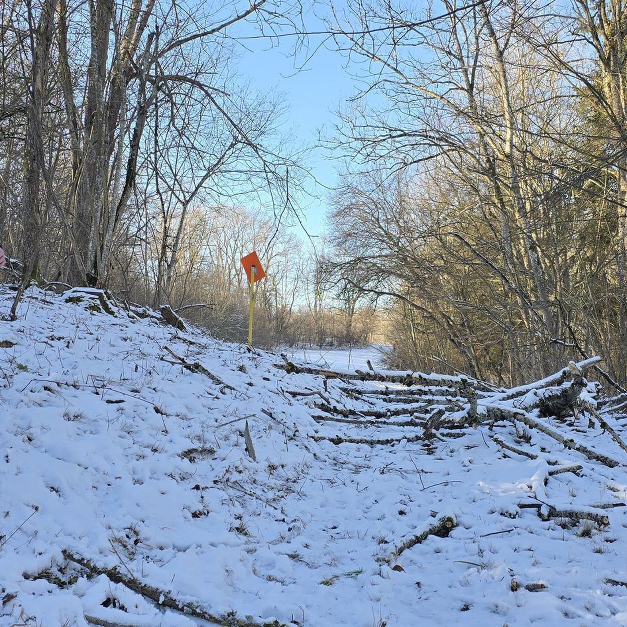
Tips from the Community


Fun little graffiti wall just before the beautiful views open up.
0
0


These are two really pretty lochs here that are located adjacent to Palacerigg Country Park. There is a sailing club there, fishing and some nice walking trails too. There are acually several combinations of trails here, but if you combine a walk through the park and the lochs, then keep an eye out for the wildlife. It's also a very tranquil place with lovely views across the calm waters to the surrounding hills and countryside.
3
0


Frequently Asked Questions
How many hiking trails are available around Hillend Loch?
There are 13 hiking trails around Hillend Loch listed on komoot. These include a mix of easy and moderate routes, offering options for various fitness levels.
Are there any easy or beginner-friendly hikes around Hillend Loch?
Yes, Hillend Loch is well-suited for beginners and those looking for easy walks. Out of the 13 available routes, 11 are rated as easy. A great option is the Picnic Area at Hillend Loch – National Cycle Route 75 Path loop from Millennium Milepost Hillend Loch, which is 3.4 miles (5.4 km) long and follows an accessible waterside path.
Are the hiking trails around Hillend Loch suitable for families?
Many of the trails around Hillend Loch are ideal for families, especially the easier, flatter sections along the lochside. The area's generally gentle terrain and accessible paths make it a good choice for walks with children. Consider routes like the Lily and Hillend Lochs – Collapsed Wooden Bridge loop from Caldercruix for a pleasant family outing.
Can I bring my dog on the hiking trails at Hillend Loch?
Yes, dogs are generally welcome on the hiking trails around Hillend Loch. It's always best to keep them on a lead, especially near livestock or nesting birds, and to clean up after them. The open countryside and waterside paths provide a great environment for a dog walk.
Are there any circular walks around Hillend Loch?
Yes, several routes offer circular options, allowing you to start and end at the same point. For example, the popular Picnic Area at Hillend Loch – National Cycle Route 75 Path loop from Millennium Milepost Hillend Loch is a circular trail that provides continuous views and easy navigation.
What is the best time of year to hike around Hillend Loch?
The best time to hike around Hillend Loch is typically from spring through autumn (April to October). During these months, the weather is generally milder, and the paths are less likely to be muddy or icy. Summer offers longer daylight hours, while spring and autumn provide beautiful seasonal colours.
Is there parking available for Hillend Loch walks?
While specific parking areas are not detailed for every route, Hillend Loch is generally accessible by car, and you can often find parking near popular starting points or access roads. It's advisable to check local signage for any restrictions.
Are there any cafes or facilities near the trails?
Hillend Loch is a natural area, so dedicated cafes directly on the trails are limited. However, the nearby villages and towns, such as Caldercruix, may offer local amenities, including shops or cafes, where you can find refreshments before or after your hike.
What kind of views can I expect on the Hillend Loch trails?
Hikers can expect picturesque views of Hillend Loch itself, often with reflections of the surrounding landscape. Many trails also extend into open countryside, offering expansive vistas of the Scottish lowlands. Some routes, like the Lily and Hillend Lochs – Collapsed Wooden Bridge loop from Caldercruix, even provide views of multiple lochs.
What do other hikers enjoy most about the trails in Hillend Loch?
The trails in Hillend Loch are highly rated by the komoot community, with an average score of 4.8 stars from over 20 reviews. Hikers often praise the peaceful waterside paths, the accessibility of the routes, and the opportunity to enjoy nature away from busy areas. Many appreciate the variety of terrain, from gentle lochside strolls to slightly more challenging loops through open land.
What should I bring for a hike around Hillend Loch?
For a comfortable hike, it's recommended to bring appropriate footwear, such as waterproof walking shoes or boots, as paths can sometimes be muddy. Layers of clothing are advisable due to changeable Scottish weather, along with water, snacks, and a waterproof jacket. A map or GPS device is also useful for navigation.
Are there any longer or more challenging routes for experienced hikers?
While most routes are easy, there are a couple of moderate options for those seeking a bit more challenge. The Graffiti Wall – Carron Valley Reservoir Dam loop from Caldercruix is a 4.8-mile (7.7 km) moderate trail that leads through open land and past the Carron Valley Reservoir Dam, offering a longer and more varied experience.
Most popular routes around Hillend Loch

Get inspired with the komoot mobile app


Explore more
Browse the best Hikes in other regions.
