The best road cycling routes around Calvörde
4.7
(45)
612
riders
15
rides
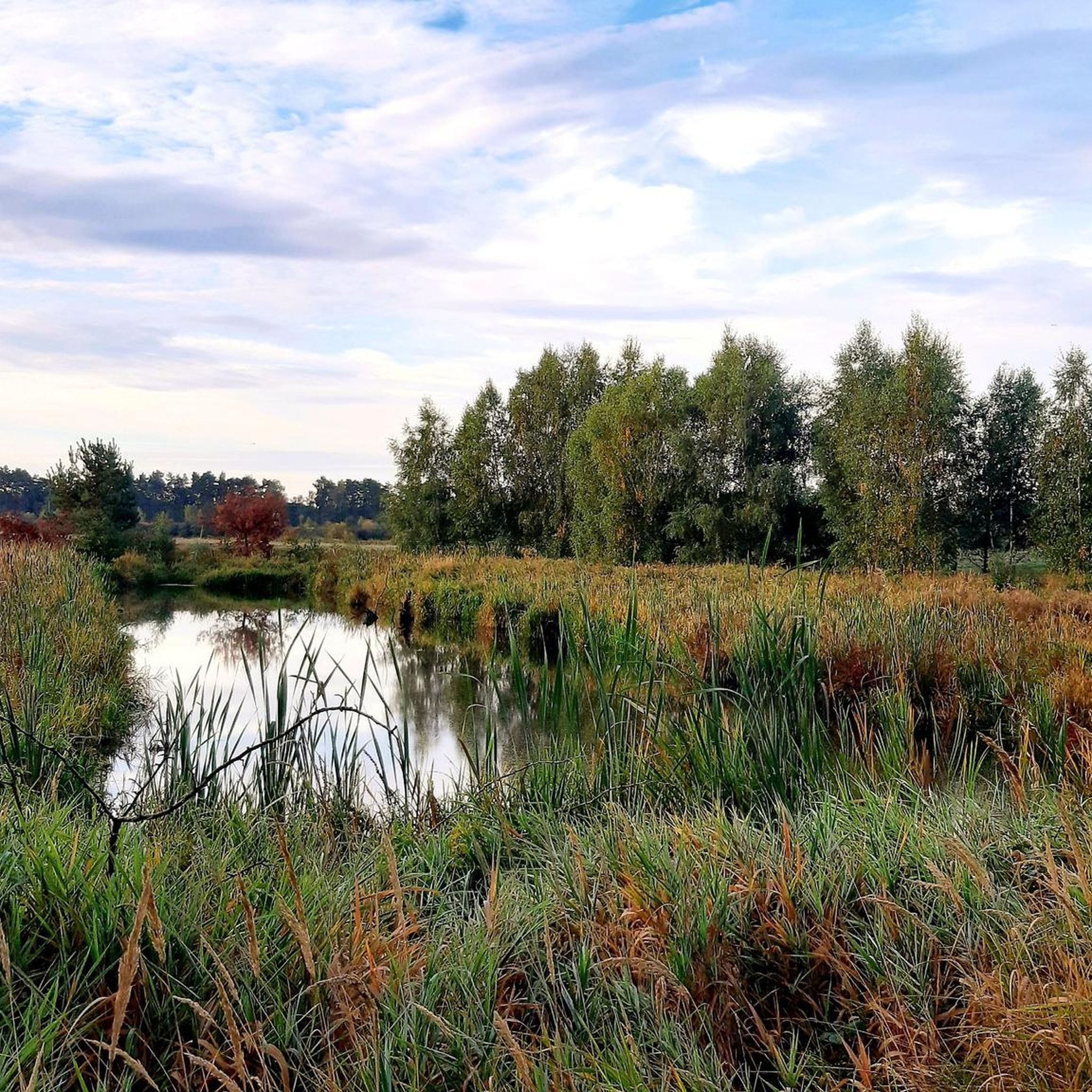
Road cycling around Calvörde offers diverse landscapes in Saxony-Anhalt, Germany. The region features a varied topography, including the Drömling wetlands to the north, the Aller river valley, and the Colbitz-Letzlinger Heath. Hilly landscapes, green meadows, and dense forests characterize the northern and central parts, providing a mix of terrain for road cyclists.
Best road cycling routes around Calvörde
- The most popular road cycling route is Stadtgraben Gardelegen – St. Mary's Church, Gardelegen loop from Zobbenitz, a 22.0 miles (35.4…
Last updated: July 10, 2026
4.0
(1)
25
riders
Moderate road ride. Great for any fitness level. Some segments of this route may be unpaved and difficult to ride.
18
riders
Moderate road ride. Great for any fitness level. Some segments of this route may be unpaved and difficult to ride.

Sign up for free
12
riders
Moderate road ride. Great for any fitness level. Some segments of this route may be unpaved and difficult to ride.
13
riders
37.8km
01:31
150m
150m
Easy road ride. Great for any fitness level. Mostly well-paved surfaces and easy to ride.
9
riders
58.5km
02:17
120m
120m
Moderate road ride. Good fitness required. Mostly well-paved surfaces and easy to ride.
Get access to more routes and recommendations from other explorers.
Sign up for free
Already have an account?
Our route recommendations are based on thousands of hikes, rides, and runs completed by other people on komoot.
Start today with a free account
Your next adventure awaits.
Login or Signup

Tips from the Community

Great destination for coffee or food
0
0

good cycle path between the trees
1
0
Beautiful view of Calvörde
0
0
No bike path, but little traffic on weekends. Good asphalt
0
0

St. Mary's Church in Gardelegen is an outstanding example of brick Gothic architecture and serves as the town's main place of worship. The church's origins date back to around 1200, when a smaller, Romanesque church was built on this site. In the 13th century, it was expanded into a five-aisled hall church with a square west tower. After a devastating fire in 1306, the long choir was rebuilt with a five-eighths end. At the end of the 15th century, the main nave was raised and vaulted. A dramatic incident occurred on May 15, 1658, when a large section of the church tower collapsed during a service, killing 22 people. The reconstruction of the tower dragged on until 1691. The church houses several important furnishings, including a four-winged, fully gilded altarpiece from around 1430 depicting the Coronation of the Virgin Mary. Additional altars from the late 15th century and a double figure of St. Anne the Self-Proclaimed enhance the furnishings. The organ by Christoph Treutmann from 1723, restored in 2013, has 25 stops and is one of the church's outstanding musical treasures. St. Mary's Church continues to be used for services, sacraments, and concerts. Extensive renovation work was carried out between June 2022 and September 2023 to improve and preserve the church's furnishings.
6
0

Sculpture in the roundabout by Danish artist Anders Nyborg
1
0

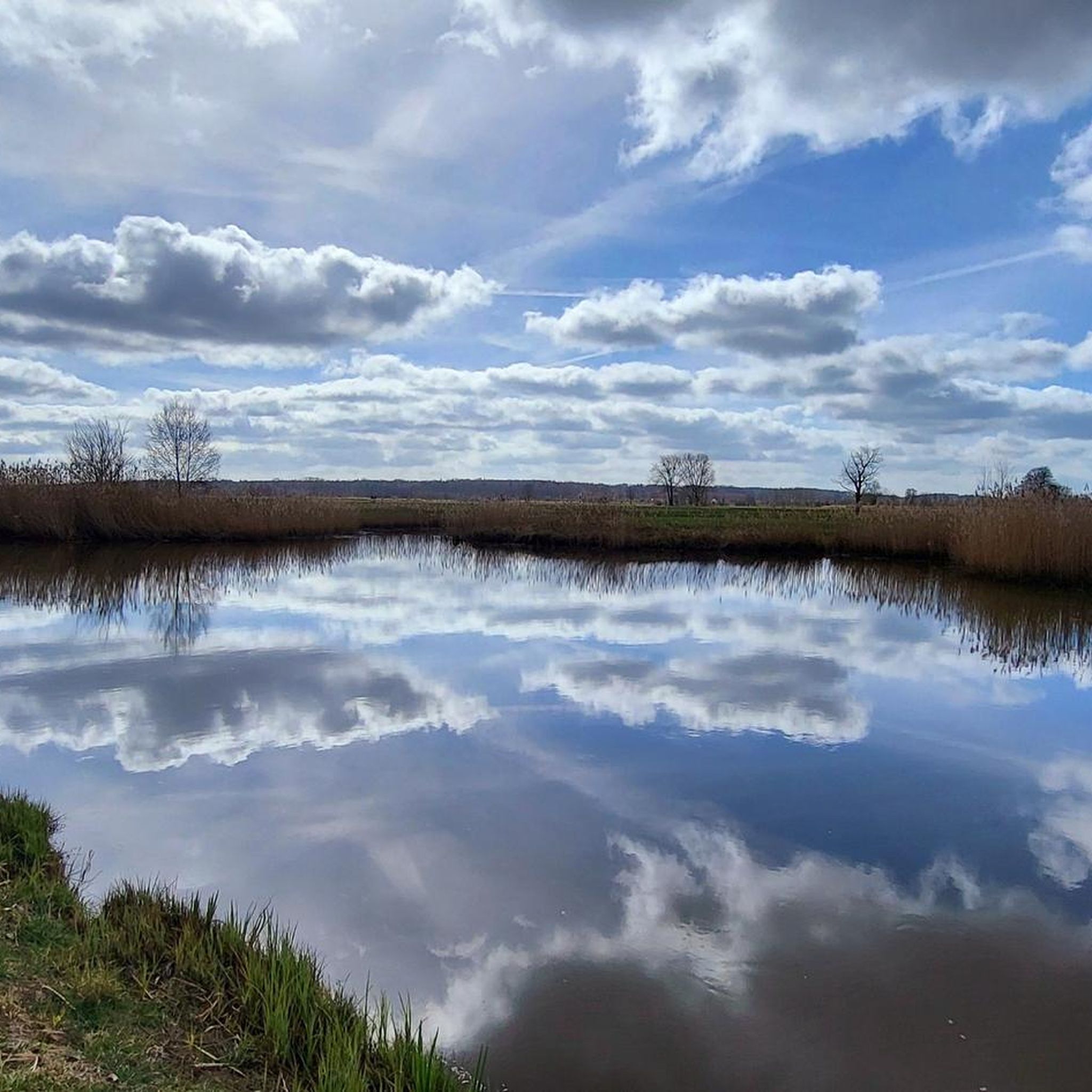
Here you have a beautiful view over the fields in front of Gardelegen.
1
0
The city moat is a beautiful park.
2
0
Frequently Asked Questions
What kind of terrain can I expect on road cycling routes around Calvörde?
The Calvörde region offers a varied topography for road cyclists. You'll find a mix of hilly landscapes, green meadows, and dense forests, particularly in the northern and central parts. Areas like the Drömling wetlands to the north and the Aller river valley provide diverse natural scenery, with routes generally featuring mostly paved surfaces suitable for road bikes.
Are there road cycling routes suitable for beginners or those looking for an easy ride?
Yes, Calvörde offers several easy road cycling routes. For instance, the Bülstringen Church – Schlossteich Flechtingen loop from Wegenstedt is an easy 38.1 km route with manageable elevation gain, perfect for a relaxed ride.
What natural features or landscapes can I see while cycling in Calvörde?
Road cycling in Calvörde allows you to experience diverse natural beauty. You can explore the unique inland wetlands of the Drömling to the north, the scenic Aller river valley, and the expansive Colbitz-Letzlinger Heath. The region is also characterized by rolling hills, dense forests, and idyllic green meadows, offering picturesque views throughout your ride.
Are there any historical landmarks or attractions along the road cycling routes?
Absolutely. The Calvörde area is rich in history and offers several notable attractions. You can cycle past the impressive Flechtingen Moated Castle, or explore the remnants of Calvörde Castle itself. The Letzlingen Castle Church loop from Zobbenitz, for example, takes you near the absolutely worth seeing Jagdschloss Letzlingen. Another interesting stop is the Nonnenspring Spring and Templar Castle Ruins, Wichmannsdorf, which also features megalithic graves.
What do other road cyclists say about the routes in Calvörde?
The road cycling routes around Calvörde are highly regarded by the komoot community, holding an average rating of 4.4 out of 5 stars from over 10 reviews. Cyclists often praise the varied terrain, the mix of natural landscapes, and the well-maintained paved surfaces that make for enjoyable rides.
Are there any circular road cycling routes available in Calvörde?
Yes, many of the road cycling routes in Calvörde are designed as loops, allowing you to start and end at the same point. Examples include the popular Stadtgraben Gardelegen – St. Mary's Church, Gardelegen loop from Zobbenitz and the Roxförde Brick Church – St. Mary's Church, Gardelegen loop from Zobbenitz, both offering engaging circular experiences.
Can I find places to observe wildlife or nature along the routes?
Yes, the region's diverse natural features provide opportunities for nature observation. The Drömling wetlands are known for their wildlife. You can visit the Bird Observation Hut at the Shallow Water Zone, Ohre-Drömling, where you might spot various bird species and even otters. The Drömling Information Center Kämkerhorst is also a great resource for learning more about the local ecosystem.
Are there any longer road cycling routes for more experienced riders?
While many routes are moderate, there are options for longer rides. For instance, the Bus Stop Shelter – Sachau Memorial Column loop from Wegenstedt covers approximately 57 km, offering a more extended journey through the Calvörde landscape.
What is the best time of year for road cycling in Calvörde?
The region is generally pleasant for road cycling during the warmer months, from spring through early autumn. This period offers the best weather conditions to enjoy the green meadows, dense forests, and varied landscapes. Always check local weather patterns before heading out.
Are there any specific points of interest or viewpoints I should look out for?
Beyond the historical sites, the region offers natural points of interest. The Süplinger Canyon Lake provides a unique natural sight, and the Langen Winkel Observation Point offers scenic views of the surrounding area. Keep an eye out for the Giant Sequoia Tree as well.
How many road cycling routes are available around Calvörde?
There are over a dozen dedicated road cycling routes around Calvörde, offering a good selection for various preferences. These routes range from easy to moderate difficulty, ensuring there's something for every road cyclist.
Most popular routes around Calvörde
Most popular attractions around Calvörde

Get inspired with the komoot mobile app


Explore more
Browse the best Road cycling routes in other regions.
