The best walks and hikes around Loch Finlaggan
4.3
(10)
73
hikers
6
hikes
Hiking around Loch Finlaggan offers routes through the varied landscapes of Islay, an island in Argyll and Bute. The region features a mix of coastal paths, open moorland, and trails around freshwater lochs. Hikers can expect undulating terrain with some elevation changes, providing views of the island's natural environment. The area is characterized by its historical significance and natural beauty, with routes suitable for different experience levels.
Best hiking trails around Loch Finlaggan
- The most popular hiking route is Loch Ballygrant Picnic Spot – Ardnahoe Distillery loop from Ballygrant, a 13.9 miles (22.3 km) trail that takes 5 hours 56 minutes to complete. This difficult route explores the northern part of the island, passing by Loch Ballygrant.
- Another top favourite among local hikers is Rhuvaal Lighthouse loop from Bunnahabhain Distillery, a moderate 8.4 miles (13.5 km) path. This trail leads to the Rhuvaal Lighthouse, offering coastal views.
- Local hikers also love the Historic Woollen Mill loop from Bridgend, a 3.1 miles (5.0 km) trail leading through a mix of rural and village landscapes, often completed in about 1 hour 19 minutes. This is one of the easy hikes near Loch Finlaggan.
- Hiking around Loch Finlaggan is defined by coastal paths, open moorland, and freshwater lochside trails. The network offers options for different ability levels, including family friendly walks Loch Finlaggan.
- The routes in Loch Finlaggan are highly rated by the komoot community with an average score of 4.5 stars from over 11 reviews. More than 62 hikers have used komoot to explore Loch Finlaggan's varied terrain.
Last updated: July 7, 2026
5.0
(2)
11
hikers
Hard hike. Very good fitness required. Easily-accessible paths. Suitable for all skill levels.
16
hikers
Moderate hike. Good fitness required. Easily-accessible paths. Suitable for all skill levels.

Sign up for free
4.5
(6)
20
hikers
13.6km
03:42
200m
200m
Moderate hike. Good fitness required. Easily-accessible paths. Suitable for all skill levels.
8
hikers
5.20km
01:21
30m
30m
Easy hike. Great for any fitness level. Easily-accessible paths. Suitable for all skill levels.
1
hikers
12.7km
03:19
90m
90m
Moderate hike. Good fitness required. Easily-accessible paths. Suitable for all skill levels.
Our route recommendations are based on thousands of hikes, rides, and runs completed by other people on komoot.
Start today with a free account
Your next adventure awaits.
Login or Signup
Popular around Loch Finlaggan
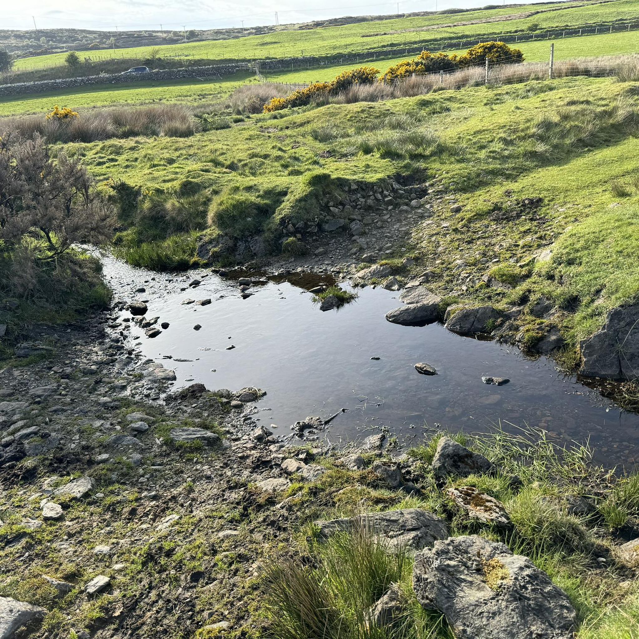
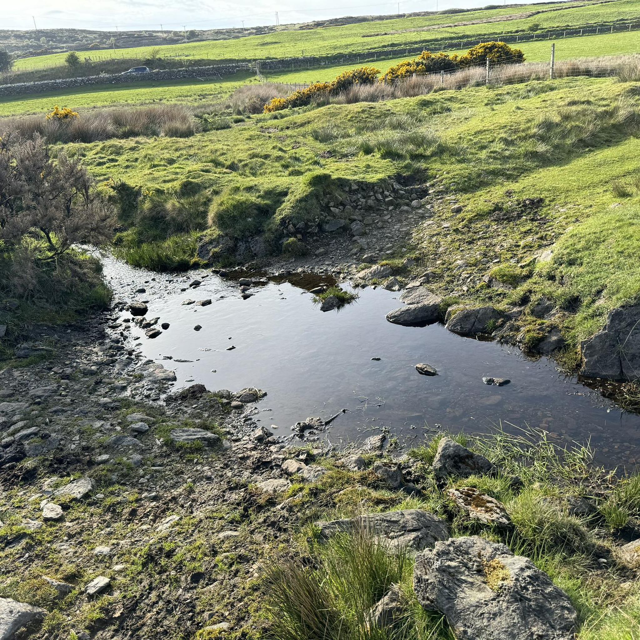
Tips from the Community

Good local shop and a very good pub/hotel
0
0

Beautifully situated at the coast with excellent views of the mountains of Jura, this distillery serves great drams in the visitor center.
0
0

beautiful lighthouse in the very north of Islay
0
0

a wonderful view and an experience to sit on the terrace with a self-selected whisky overlooking the "Papes of Jura"
0
0

Frequently Asked Questions
What kind of terrain can I expect when hiking around Loch Finlaggan?
The hiking trails around Loch Finlaggan, located on Islay in Argyll and Bute, feature a diverse landscape. You can expect a mix of coastal paths, open moorland, and trails that follow the shores of freshwater lochs. The terrain is generally undulating, with some elevation changes, offering varied views of the island's natural environment.
Are there easy hiking options suitable for beginners or families?
Yes, there are easy hiking options available. For instance, the Historic Woollen Mill loop from Bridgend is an easy 3.1-mile (5.0 km) trail that takes about 1 hour 19 minutes to complete, leading through rural and village landscapes. This route is well-suited for families or those looking for a less strenuous walk.
Can I bring my dog on the hiking trails around Loch Finlaggan?
Many trails in the Loch Finlaggan area are dog-friendly, but it's always recommended to keep dogs on a lead, especially when passing through farmland with livestock or in areas with ground-nesting birds. Always follow the Scottish Outdoor Access Code and clean up after your pet.
Are there any circular walks available?
Yes, several routes around Loch Finlaggan are circular, allowing you to start and end at the same point. Examples include the Loch Ballygrant Picnic Spot – Ardnahoe Distillery loop from Ballygrant and the Rhuvaal Lighthouse loop from Bunnahabhain Distillery, offering varied distances and difficulties.
What is the best time of year to hike in this region?
The best time to hike around Loch Finlaggan is generally from late spring to early autumn (May to September) when the weather is milder and daylight hours are longer. However, Islay's weather can be unpredictable, so always be prepared for changing conditions regardless of the season. Winter hikes are possible but require appropriate gear and awareness of shorter daylight and potentially harsher weather.
What do other hikers enjoy most about the trails in Loch Finlaggan?
The area is highly rated by the komoot community, with an average score of 4.5 stars from over 11 reviews. Hikers often praise the diverse scenery, from coastal views to tranquil lochside paths, and the opportunity to explore Islay's unique natural and historical environment.
Are there any notable landmarks or points of interest to explore along the routes?
Yes, the region is rich in history and natural beauty. While hiking, you might encounter historical sites like the ancient seat of the Lords of the Isles at Finlaggan itself, or natural features such as the dramatic coastline near the Rhuvaal Lighthouse. The island is also known for its distilleries, some of which are near hiking routes.
Where can I find parking for the hiking trails?
Parking availability varies by trailhead. Many routes, especially those starting from villages like Ballygrant or Bridgend, will have designated parking areas or roadside parking options. For specific routes, it's advisable to check the route details on komoot for information on starting points and parking facilities.
What kind of wildlife might I see while hiking?
Islay is a haven for wildlife. Hikers often spot a variety of birdlife, including migratory species, especially near the coast and lochs. You might also encounter red deer, otters, and seals along the shorelines. Keep an eye out for diverse flora, particularly in the spring and summer months.
Are there any cafes or facilities near the hiking routes?
Facilities like cafes and shops are typically found in the main villages on Islay, such as Bridgend, Bowmore, and Port Askaig. Some routes may pass close to these villages, offering opportunities for refreshments. It's always a good idea to carry sufficient water and snacks, especially on longer or more remote trails.
How many hiking routes are available around Loch Finlaggan?
There are 6 hiking routes available around Loch Finlaggan, catering to various skill levels. This includes 2 easy routes, 3 moderate routes, and 1 difficult route, ensuring options for different preferences and abilities.
What is the longest hiking trail in the area?
The longest hiking trail listed is the Loch Ballygrant Picnic Spot – Ardnahoe Distillery loop from Ballygrant, which is a challenging 13.9-mile (22.3 km) route. This trail typically takes around 5 hours 56 minutes to complete and explores the northern part of the island.
Most popular routes around Loch Finlaggan

Get inspired with the komoot mobile app


Explore more
Browse the best Hikes in other regions.
