The best walks and hikes around Loch Earn
4.4
(743)
6,593
hikers
73
hikes
Hiking around Loch Earn takes place within the Loch Lomond & The Trossachs National Park. The landscape is defined by the 6.5-mile (10.5 km) long freshwater loch, surrounded by rolling hills and prominent mountains, including the Munro, Ben Vorlich. Trails range from lochside paths and routes along former railway lines to challenging ascents of nearby peaks, offering a variety of options for different fitness levels.
Best hiking trails around Loch Earn
- The most popular hiking route is Ben Vorlich & Stuc a' Chroin loop from Ardvorlich — Loch Lomond & The Trossachs National Park, a 9.1 mile (14.6 km) trail that takes about 6 hours 40 minutes to complete. This is a challenging Munro climb with significant elevation gain, leading to expansive views from the summits.
- Another top favourite among local hiking enthusiasts is Glen Ogle Viaduct loop - via The Three Saints way — Loch Lomond and The Trossachs National Park, a moderate 8.7 mile (14.1 km) path. The route follows a section of a former railway line, crossing the historic Glen Ogle Viaduct.
- Local hiking enthusiasts also love the St Fillans and Loch Earn loop — Loch Lomond and The Trossachs National Park, a 4.2 mile (6.8 km) trail leading through woodland and along the lochside, often completed in about 2 hours 5 minutes.
- Hiking around Loch Earn is defined by its mix of high mountain ascents, forested glens, and paths along the water's edge. The network of trails provides accessible lochside walks as well as demanding full-day mountain hikes.
- The routes in Loch Earn are highly rated by the komoot community with an average score of 4.4 stars from over 570 reviews. More than 5,700 hikers have used komoot to explore Loch Earn's varied terrain.
Last updated: October 10, 2026
4.7
(74)
839
hikers
14.6km
06:41
1,040m
1,040m
Embark on the Ben Vorlich and Stùc a' Chròin Loop, a challenging hike that takes you through the rugged beauty of Loch Lomond & The Trossachs National Park. This demanding route covers 9.1 miles (14.6 km) and involves a significant elevation gain of 3420 feet (1043 metres). As you ascend, you'll experience varied terrain, from boggy lower slopes to rocky mountain paths, culminating in expansive views of central Scotland and Loch Earn from Ben Vorlich Summit. Plan for a full day out, as this difficult hike typically takes around 6 hours and 40 minutes to complete.
Before you set out, be aware that conditions can change rapidly on this mountain trail. While generally accessible, winter months transform the route into a much more hazardous undertaking, requiring specialist equipment like an ice-axe and crampons; it's only recommended for expert mountaineers during this time. Always wear sturdy, waterproof footwear to handle the often wet and eroded sections, especially lower down. Check the weather forecast carefully and start early to allow ample daylight for your adventure.
This loop offers the rewarding experience of bagging two Munros in a single outing, making it a notable challenge for peak baggers. Beyond the physical accomplishment, the trail provides a chance to observe the distinct characteristics of each Munro's landscape. Keep an eye out for local wildlife; you might even spot ospreys or black grouse, particularly during the vibrant autumn season when the natural surroundings are at their most colorful.
4.1
(38)
157
hikers
14.1km
03:50
210m
210m
Hike the Glen Ogle Viaduct loop, a moderate 8.7-mile trail offering historical sites and panoramic views in Loch Lomond & The Trossachs.

4.1
(38)
153
hikers
12.8km
03:31
200m
200m
Moderate hike. Good fitness required. Easily-accessible paths. Suitable for all skill levels.
4.8
(14)
92
hikers
6.79km
02:06
260m
260m
Hike the moderate 4.2-mile St Fillans Viewpoint Circular Trail in Loch Lomond and The Trossachs National Park for stunning views over Loch E
2
hikers
Hard hike. Very good fitness required. Sure-footedness, sturdy shoes and alpine experience required.
Get access to more routes and recommendations from other explorers.
Already have an account?
Our route recommendations are based on thousands of hikes, rides, and runs completed by other people on komoot.
Start today with a free account
Your next adventure awaits.


Tips from the Community

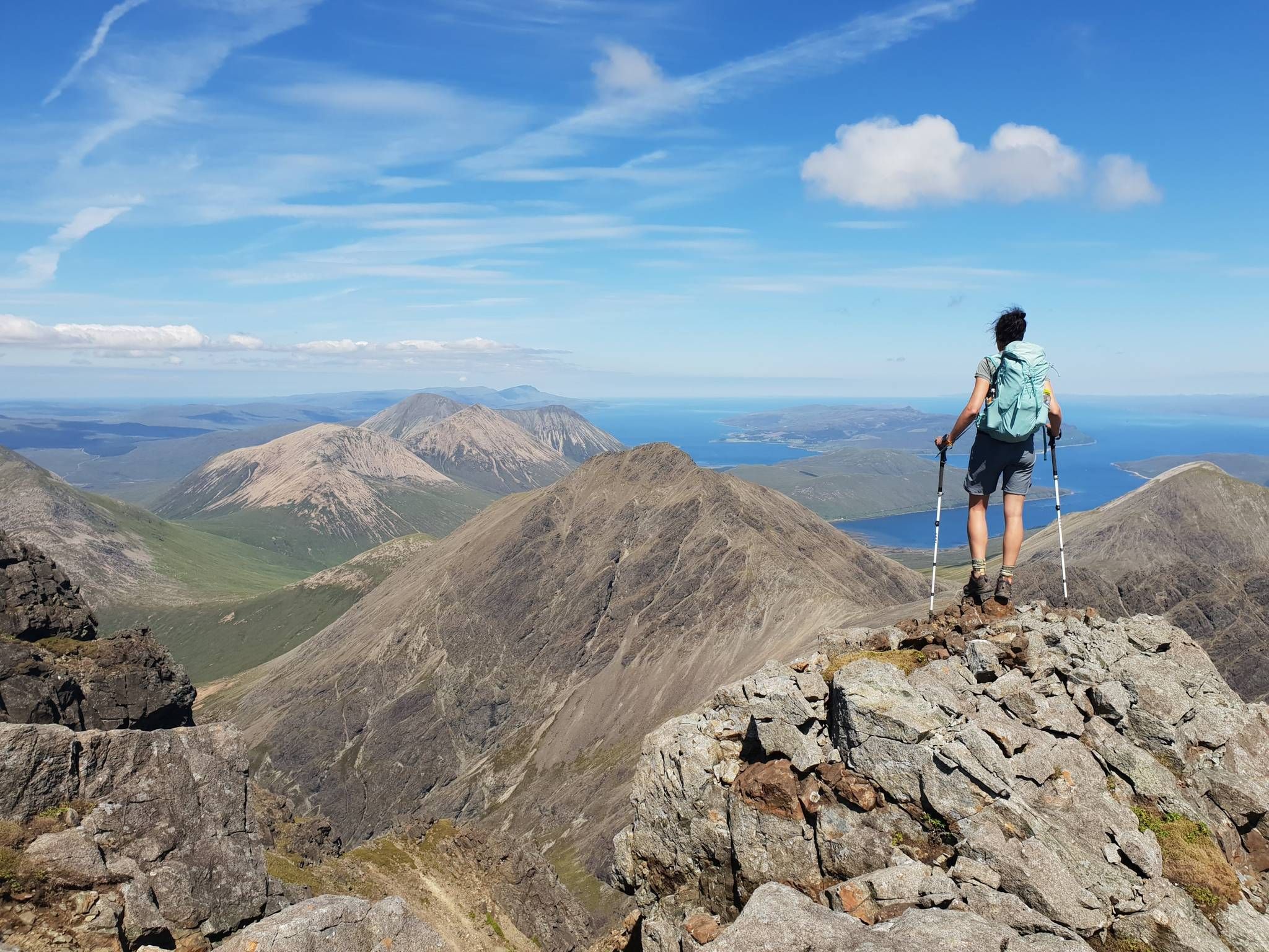
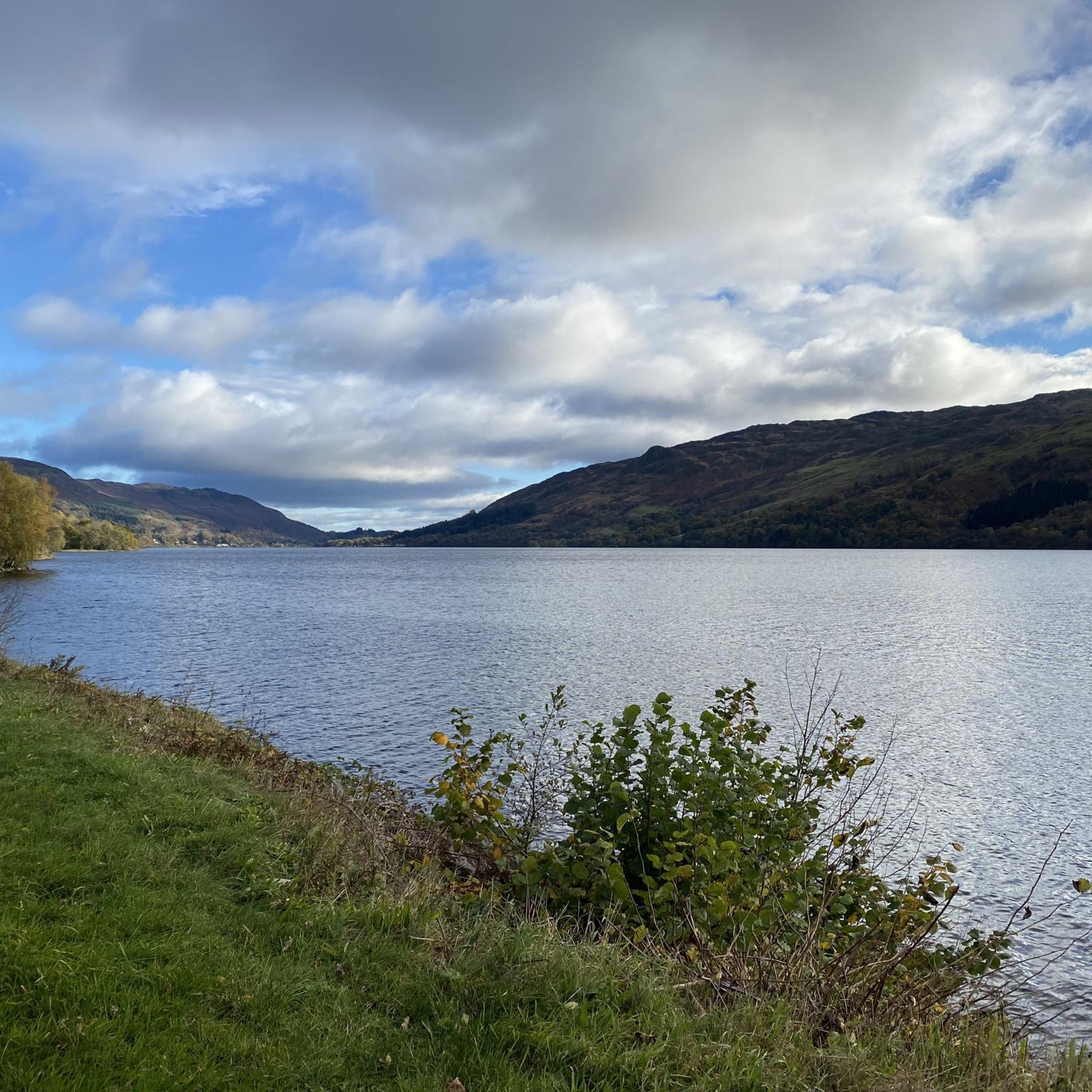
One of the first views that feels like Highlands when coming from the south.
0
0


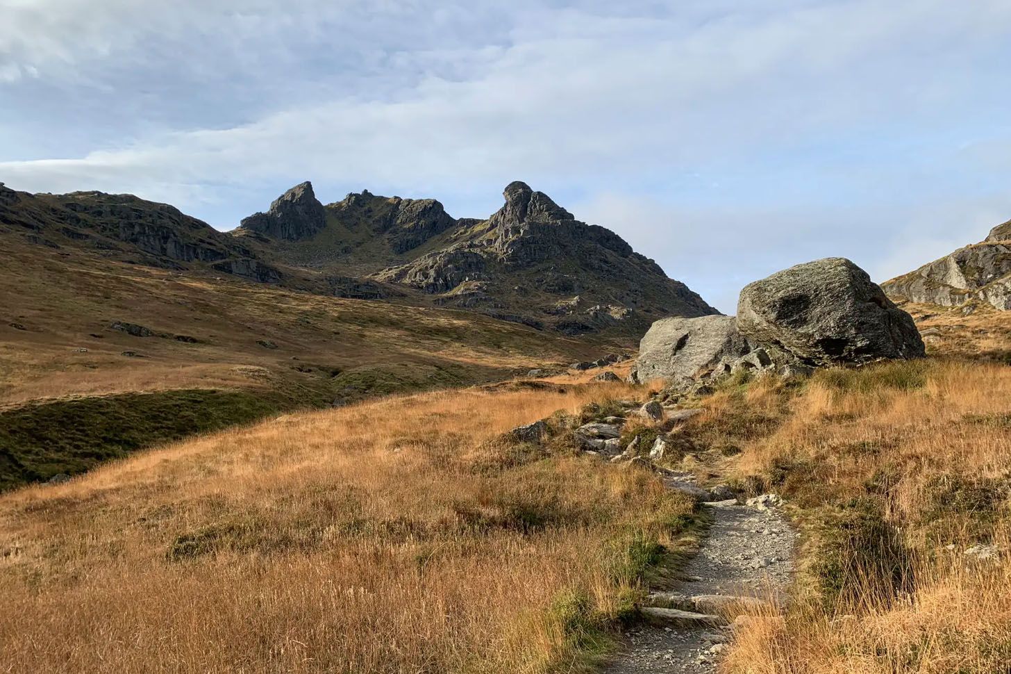
If you're travelling from North to South, this trail is fantastic and you get this fantastic view.
0
0

Route along the old railway north side of Loch Earn could be challenging in parts if conditions are wet and muddy.
1
0

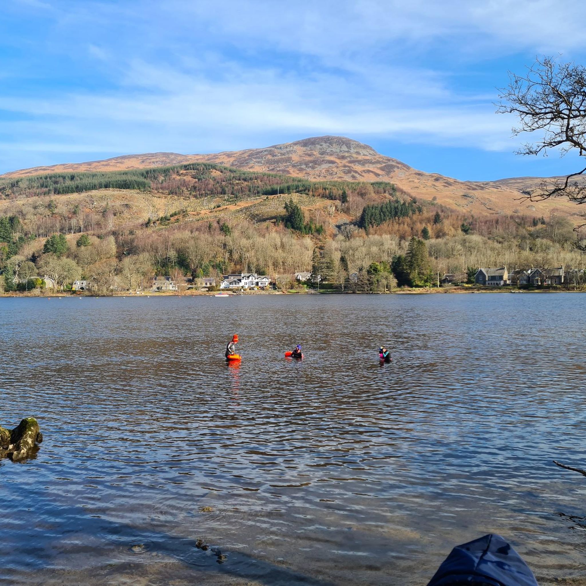
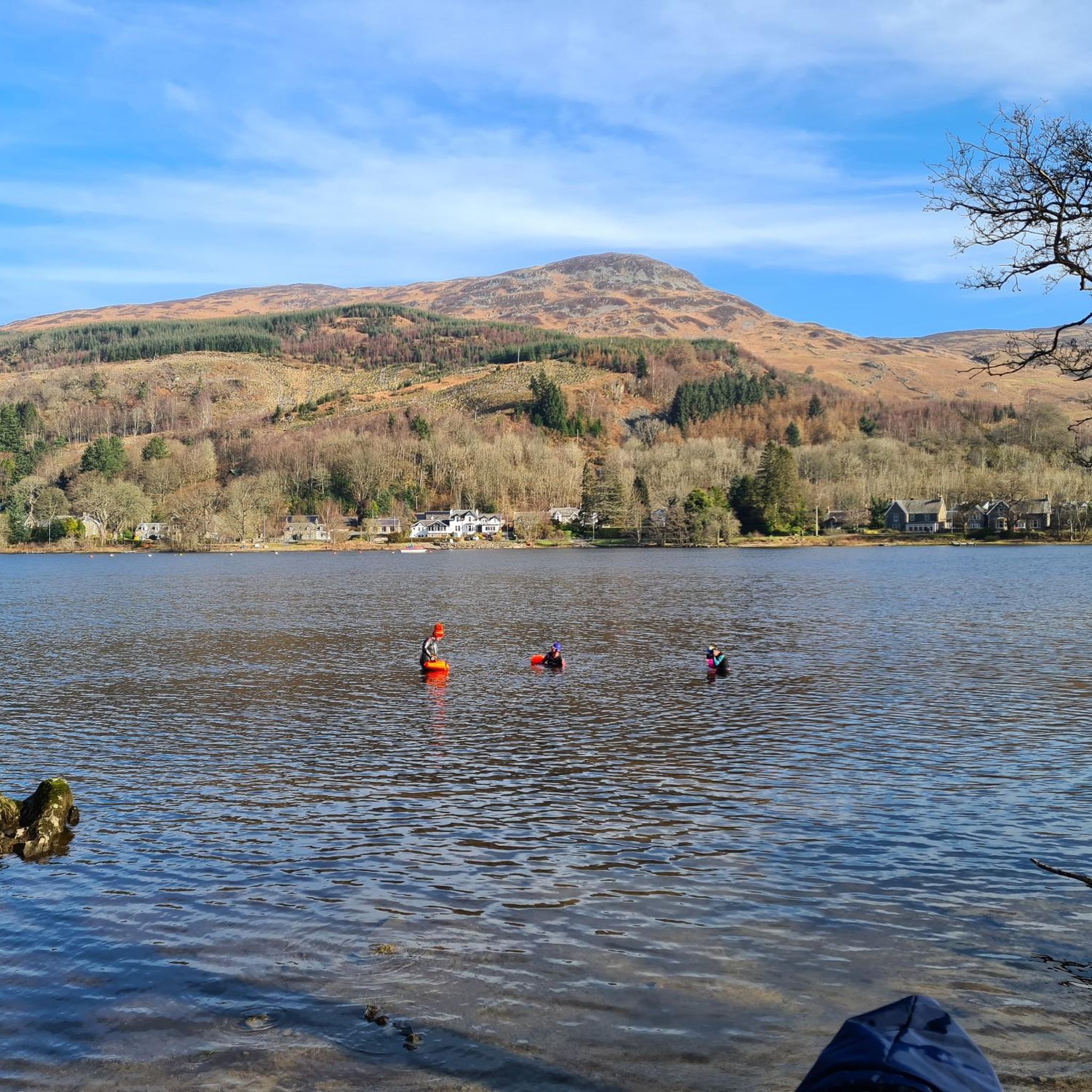
Neish Island. We swim around it weekly, but it has a nice bit of history. https://canmore.org.uk/site/24437/neish-island-loch-earn https://cyclecrieff.scot/
0
0
Frequently Asked Questions
Are there many hiking trails to choose from around Loch Earn?
Yes, there's a great variety. You can find over 70 different hiking routes around Loch Earn, ranging from easy lochside paths to challenging mountain climbs. The area offers 28 easy, 35 moderate, and 12 difficult trails, so there's something for every fitness level.
What do other hikers enjoy about the trails in Loch Earn?
The area is highly regarded by the komoot community, with an average rating of 4.4 stars from over 570 reviews. Hikers often praise the mix of accessible lochside walks and demanding mountain hikes, as well as the stunning views across the water and from the summits.
Are there any family-friendly walks near Loch Earn?
Absolutely. The area is well-suited for families. For an easy walk with great views, consider the St Fillans and Loch Earn loop. It's a relatively short walk through woodland and along the lochside, perfect for a family outing.
I'm looking for a challenging Munro climb. What are my options?
The most notable challenge is the ascent of Ben Vorlich. For a truly demanding day, you can tackle the Ben Vorlich & Stuc a' Chroin loop. This is a difficult, full-day hike that requires good fitness and navigation skills, rewarding you with incredible panoramic views.
Can I take my dog on the trails around Loch Earn?
Yes, many trails around Loch Earn are suitable for dogs. However, you'll be walking through areas with farmland and sensitive wildlife. It's essential to keep your dog under close control, and on a lead where required, especially during lambing season (typically April-June) or near ground-nesting birds.
What is the Glen Ogle Trail like?
The Glen Ogle Trail follows the path of a former railway line, making for a steady and relatively gentle walk. A great option is the Glen Ogle Viaduct loop, which takes you across the impressive historic viaduct and offers fantastic views down the glen. It's a moderate route of about 8.7 miles (14.1 km).
Where can I find a good circular walk?
There are many excellent circular routes. For a longer, more challenging loop that bags two Munros, consider the Stùc a' Chròin and Ben Vorlich traverse. This demanding trek offers a comprehensive tour of the high peaks south of the loch.
Are there any easy hikes for beginners?
Yes, the area has plenty of options for beginners. Besides the gentle lochside paths, you could try a section of the Glen Ogle trail. It follows a disused railway line, so the gradients are manageable, and it provides a wonderful sense of Highland scenery without a strenuous climb.
Where is the best place to park for a hike?
Parking availability depends on your chosen trail. For hikes starting from Lochearnhead or St Fillans, there are village car parks. For the popular Ben Vorlich ascent, there is a designated lay-by parking area on the South Loch Earn road near Ardvorlich. Always park considerately and avoid blocking access for residents or emergency services.
Are there any pubs or cafes to visit after a hike?
Yes, the villages of St Fillans and Lochearnhead at either end of the loch have several pubs, cafes, and hotels where you can get refreshments. These are popular spots for hikers to relax after a day on the trails.
What is the BLiSS Trail?
The BLiSS Trail is a unique art and sculpture trail that connects the villages of Balquhidder, Lochearnhead, Strathyre, and St Fillans. You can walk, cycle, or drive between the installations, making it a fun way to explore the wider area and see some creative sights, like the mirrored 'Still' sculpture on the loch.
Can I get to Loch Earn using public transport?
Accessing the trailheads via public transport can be challenging as services are limited in this rural area. Bus services run along the A85, connecting the villages to larger towns like Crieff and Killin. However, for flexibility and to reach more remote trailheads, travelling by car is generally more convenient.
Most popular routes around Loch Earn
Most popular attractions around Loch Earn

Get inspired with the komoot mobile app


Explore more
Browse the best Hikes in other regions.
