The best road cycling routes around Harperrig Reservoir
4.7
(12)
1,764
riders
95
rides
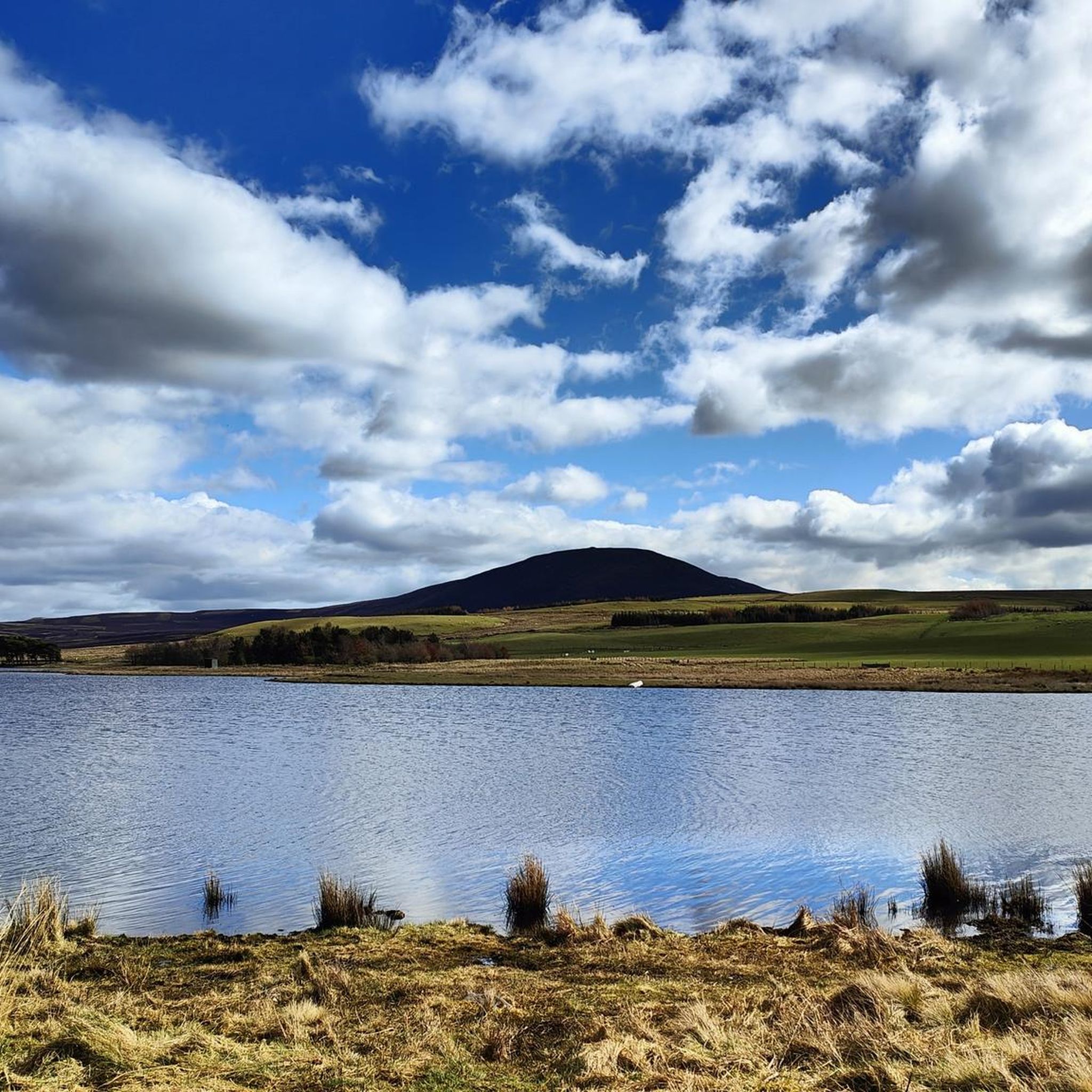
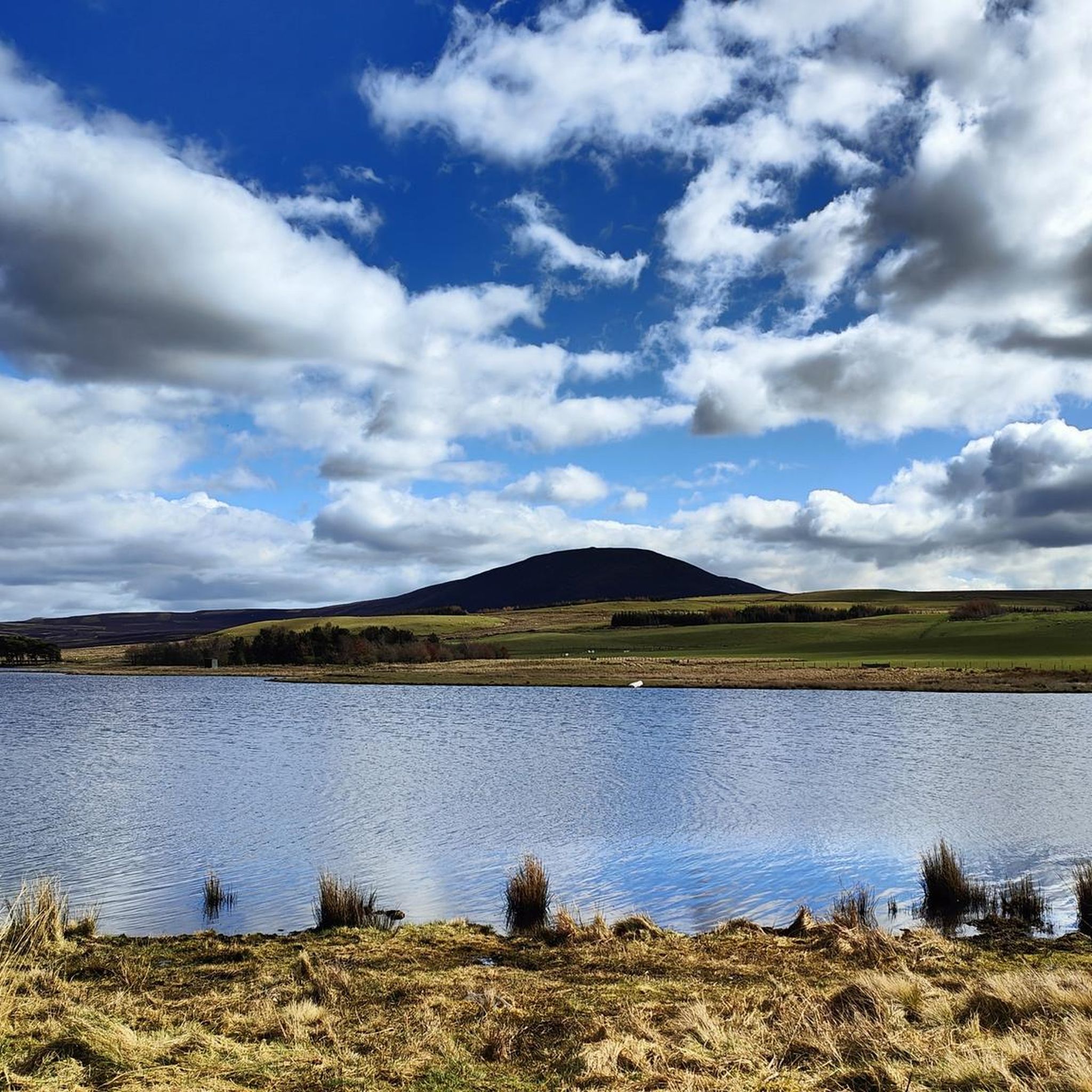
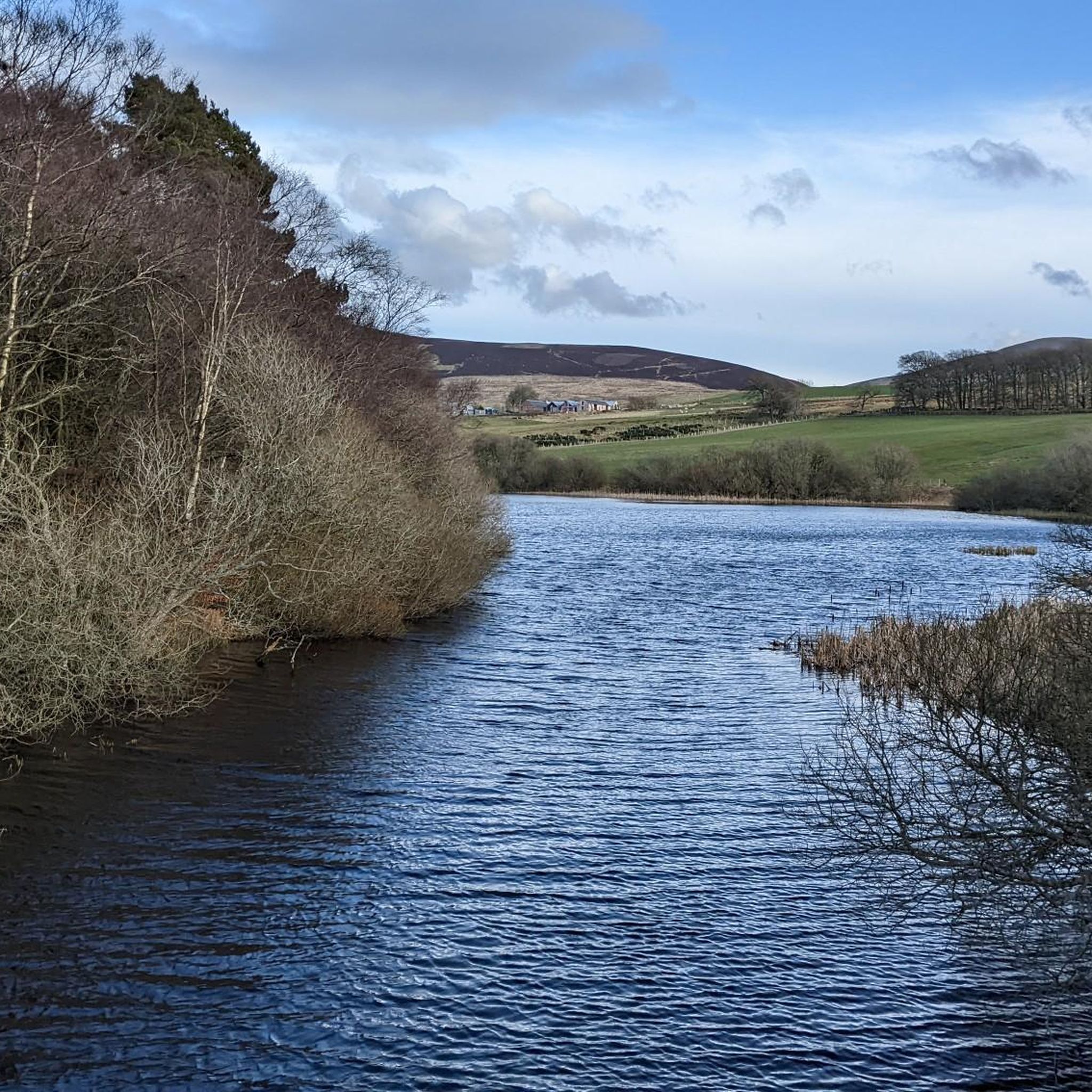
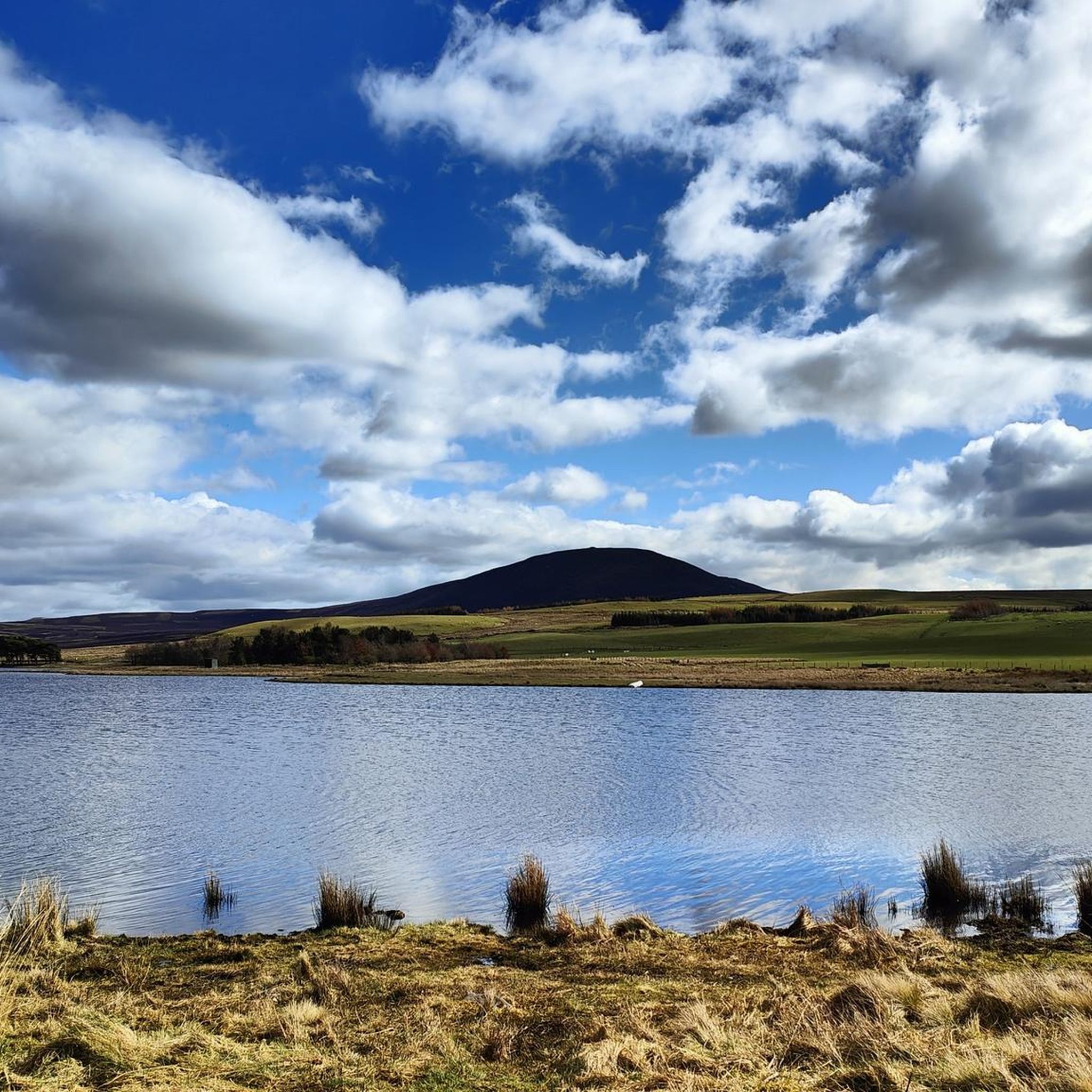
Road cycling around Harperrig Reservoir offers routes through a diverse environment of rolling hills, expansive shorelines, and open moorland. The area is situated within a basin on the northwestern slopes of the Pentland Hills, southwest of Edinburgh, providing varied terrain. Cyclists can navigate a mix of paved and unpaved sections with various elevation changes. The reservoir itself is a central feature, with the Water of Leith flowing through it, offering views of the surrounding countryside.
Best road cycling routes around…
Last updated: July 5, 2026
5.0
(1)
162
riders
121km
05:25
890m
890m
Hard road ride. Very good fitness required. Some segments of this route may be unpaved and difficult to ride.
5.0
(5)
123
riders
Moderate road ride. Good fitness required. Some segments of this route may be unpaved and difficult to ride.

Sign up for free
106
riders
Moderate road ride. Good fitness required. Some segments of this route may be unpaved and difficult to ride.
79
riders
59.3km
02:35
490m
490m
Moderate road ride. Good fitness required. Some segments of this route may be unpaved and difficult to ride.
71
riders
59.4km
02:41
480m
480m
Moderate road ride. Good fitness required. Mostly well-paved surfaces and easy to ride.
Get access to more routes and recommendations from other explorers.
Sign up for free
Already have an account?
Our route recommendations are based on thousands of hikes, rides, and runs completed by other people on komoot.
Start today with a free account
Your next adventure awaits.
Login or Signup
Tips from the Community

A super nice tunnel that makes for a good photo stop. A great addition to your cycle journey through Edinburgh.
0
0
This is a super photo stop. The tunnel is beautifully decorated with striking murals and is illuminated too so it sheds a bit more light on the topic!
0
0


And it is always windy up on the moor road and most of the times it is a brisk head wind, regardless of if you go south or north. The wind always knows you are coming and switches direction to greet you in the face. 😉😳☺️😰
1
0

The ditches and the rampart are clearly visible and you can do a circular walk around the ramparts.
0
0

A beautiful ride through the valley; big skies, smooth roads, and rolling hills.
0
0

The cafe is unfortunately now closed, it has reopened up the road at Loanhead Farm though.
0
0

Frequently Asked Questions
How many road cycling routes are available around Harperrig Reservoir?
There are over 95 road cycling routes around Harperrig Reservoir, catering to various skill levels. This includes 16 easy routes, 77 moderate routes, and 2 challenging routes, ensuring options for every cyclist.
What kind of terrain can I expect on road cycling routes near Harperrig Reservoir?
The terrain around Harperrig Reservoir is diverse, featuring rolling hills, expansive shorelines, and open moorland within the Pentland Hills. Cyclists will encounter a mix of paved and unpaved sections, along with varied elevation changes, offering engaging rides.
Are there any challenging road cycling routes for experienced riders?
Yes, for experienced riders seeking a challenge, Harperrig Reservoir offers routes with significant elevation gains. An example is the Kincardine on Forth Bridge – The Kelpies loop from Livingston South, which is 75.2 miles (121.1 km) long with an elevation gain of 886 meters, classified as difficult.
What are some popular moderate road cycling routes in the area?
Many cyclists enjoy the moderate routes around Harperrig Reservoir. Two popular choices include the Moor Road – Scottish Borders – Colinton Tunnel Murals loop from Livingston South, a 57.3-mile (92.3 km) path, and the Stone Bridge Over Stream – Wind Turbines Near Woolfords loop from Livingston South, which is 26.2 miles (42.2 km) long.
What historical landmarks can I see while cycling near Harperrig Reservoir?
The region is rich in history. Cyclists can discover the ruins of Cairns Castle, dating back to 1440, strategically located on a hillock extending into the reservoir. There are also Bronze Age monuments on East Cairn Hill and West Cairn Hill, and many trails follow ancient drovers' roads like the historic Cauldstane Slap.
Are there any scenic viewpoints along the road cycling routes?
Yes, the area offers several scenic viewpoints. Mount Maw, a prominent summit at 535 meters, provides breathtaking views stretching over the Southern Uplands and the wider Pentland Hills. The reservoir itself, with the Water of Leith flowing through it, also offers serene waters and panoramic views of the surrounding countryside.
What do other road cyclists say about the routes around Harperrig Reservoir?
The road cycling routes around Harperrig Reservoir are highly rated by the komoot community, with an average score of 4.7 stars from over 10 reviews. Cyclists often praise the diverse rural experiences, quiet roads, and varied terrain that make for engaging rides.
Is Harperrig Reservoir suitable for family-friendly road cycling?
While many routes feature varied terrain and elevation changes, there are 16 easy routes available, which may be more suitable for families or those looking for a less strenuous ride. It's advisable to check the specific route details for distance and elevation to find the best fit for your family.
Where can I find parking for road cycling near Harperrig Reservoir?
Many popular touring cycling routes, including those mentioned in this guide, commence from Livingston South. This suggests that parking facilities are likely available in or around Livingston South, serving as a convenient starting point for exploring the Harperrig Reservoir area.
What natural features can I observe while cycling around Harperrig Reservoir?
Beyond the reservoir itself and the Water of Leith, you can observe the picturesque rolling hills and open moorland of the Pentland Hills. The area also features marshy grasslands, and Gull Island within the reservoir is a crucial breeding ground for gulls and wildfowl, attracting various geese and ducks during winter.
Are there any circular road cycling routes around Harperrig Reservoir?
Yes, many of the routes around Harperrig Reservoir are designed as loops, offering circular journeys. Examples include the Harperrig Reservoir – Long Dalmahoy Road loop from Livingston South and the Braehead Climb – The Appetizing Bakery loop from Livingston South.
What is the best time of year for road cycling in Harperrig Reservoir?
The region's diverse environment of rolling hills and open moorland can be enjoyed throughout much of the year. However, for optimal conditions, spring through autumn generally offers more predictable weather and milder temperatures, making it ideal for road cycling. Always check local weather forecasts before heading out.
Most popular routes around Harperrig Reservoir

Get inspired with the komoot mobile app


Explore more
Browse the best Road cycling routes in other regions.
