The best road cycling routes around Calanca
4.6
(174)
4,014
riders
29
rides
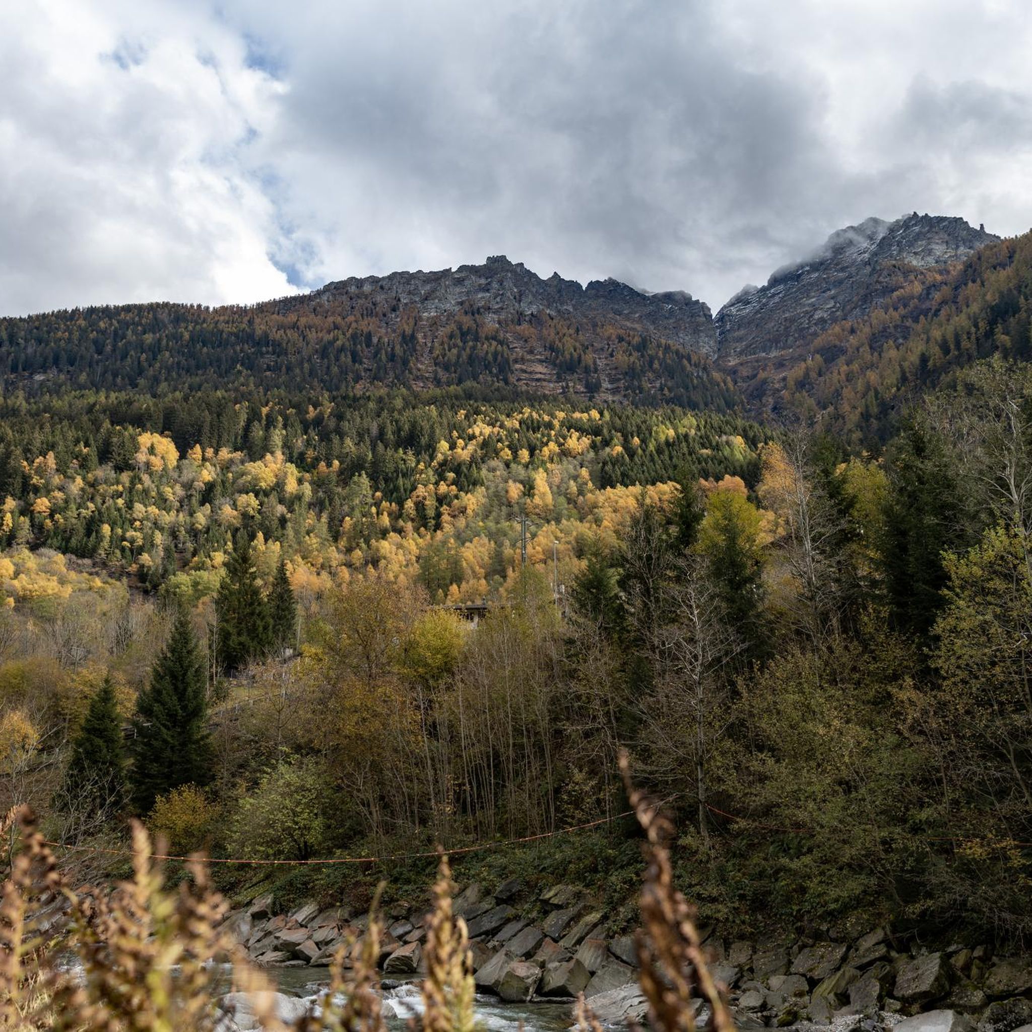
Road cycling routes around Calanca traverse a mountainous region characterized by deep valleys, river courses, and significant elevation changes. The landscape features include alpine passes, dense woodlands, and historic villages nestled along the Calancasca River. Road cyclists can expect varied terrain, from challenging ascents to winding valley roads. The region offers a network of routes suitable for different skill levels, with many paths providing views of the surrounding peaks and natural features.
Best road cycling routes around Calanca
- The most…
Last updated: August 30, 2026
4.2
(5)
288
riders
80.5km
04:39
1,880m
1,880m
Hard road ride. Very good fitness required. Mostly well-paved surfaces and easy to ride.
4.9
(12)
188
riders
45.5km
02:05
500m
500m
Moderate road ride. Good fitness required. Mostly well-paved surfaces and easy to ride.

Sign up for free
4.6
(5)
133
riders
45.3km
02:29
940m
940m
Hard road ride. Very good fitness required. Mostly well-paved surfaces and easy to ride.
4.0
(1)
59
riders
41.7km
03:08
1,710m
1,710m
Hard road ride. Very good fitness required. Mostly well-paved surfaces and easy to ride.
4.5
(2)
41
riders
25.5km
01:39
740m
740m
Moderate road ride. Good fitness required. Mostly well-paved surfaces and easy to ride.
Get access to more routes and recommendations from other explorers.
Sign up for free
Already have an account?
Our route recommendations are based on thousands of hikes, rides, and runs completed by other people on komoot.
Start today with a free account
Your next adventure awaits.
Login or Signup
Tips from the Community

Monte Laura is located at around 1,400 meters above Roveredo. The small hamlet is accessible via a winding road from the village and is spread loosely over the slopes. From up here, you have a beautiful view of the Misox valley and are quickly out of the valley hustle and bustle.
0
0

One of the most beautiful passes IMHO! Very long from the south, never too steep (if you stay on the main road: do not take the bike path after Mesocco!), and you will experience the vegetation transitioning from palm trees to alpine climate! The S. Bernardino village is a bonus, take the chance to eat something and get a water refill before the last push.
0
0

Torre di Santa Maria The medieval residential tower was built in the 13th/14th century by the Counts of Sax. Overlooking the valley floor of the Misox, it was part of a territorial control system. The pentagonal tower is inspired by architectural models from central France. Text / Source: Raetia Association, grisun & romanisch https://www.visit-moesano.ch/de/chiesa-parrocchiale-santa-maria-assunta
14
0
The village of Santa Maria, with its parish church mentioned as early as 1219, was the religious and political capital of the Calanca Valley. The church's current appearance dates back to the early seventeenth century, a time when Capuchin monks settled in the adjacent hospice. The church of Santa Maria Assunta is a Romanesque religious building. Text / Source: Raetia Association, grisun & romanisch https://www.visit-moesano.ch/de/chiesa-parrocchiale-santa-maria-assunta
14
0

Lostallo is located on the right bank of the Moesa and is one of the villages that characterize the Misox. Its dry stone walls are very beautiful, as are the revitalized chestnut woods and the Rosera floodplain.
0
0
Stunning section of the climb up the San Bernardino Pass, view of the Alpine nature, of the valley and of the mountains in the upper part of the valley. Every effort is rewarded!
0
0

Soazza is a jewel in the Misox with a wonderfully preserved village center. Away from the cantonal road, the terraced village guarantees a special degree of tranquility. The biggest attraction is undoubtedly the beautiful parish church of San Martino, which towers over the area on a rocky outcrop.
1
0
In this small town in Valbella there are numerous prayer houses and buildings influenced by the Walser. You will also find the church of S. Bernardo. There are several very curious colored constructions.
1
0
Frequently Asked Questions
What is the general difficulty level of road cycling routes in Calanca?
Calanca offers a diverse range of road cycling routes. You'll find 7 easy routes, 11 moderate routes, and 14 difficult routes, catering to various skill levels. The region is known for its significant elevation changes and mountain passes, so many routes present a good challenge.
Are there road cycling routes suitable for beginners in Calanca?
Yes, Calanca has several beginner-friendly road cycling options. For instance, the Torre Fiorenzana, Grono – View of Torre Palas loop from Grono is an easy route that offers a pleasant ride with less demanding climbs, perfect for those new to road cycling in the region.
Where can I find challenging road cycling routes in Calanca?
For experienced road cyclists seeking a challenge, Calanca offers several difficult routes. The Graubünden Route: San Bernardino Pass to Bellinzona is a demanding 50-mile route featuring significant elevation gain over a mountain pass. Another challenging option is the San Martino Church, Soazza – Pian San Giacomo loop from Lostallo.
What is the best time of year for road cycling in Calanca?
The best time for road cycling in Calanca is typically from late spring through early autumn (May to October). During these months, the weather is generally milder, and mountain passes are clear of snow, offering optimal conditions for exploring the region's diverse terrain.
What are the road cycling conditions like in Calanca during winter?
During winter, road cycling in Calanca can be challenging due to snow and ice, especially at higher elevations and on mountain passes. Many routes may be inaccessible or require specialized equipment. It's advisable to check local road conditions and weather forecasts before planning a winter ride.
Are there any loop road cycling routes in Calanca?
Yes, Calanca features several excellent loop routes. A popular choice is the Waterfall at Buffalora – Lostallo Village and Waterfall loop from Lostallo, which offers a scenic journey through a village and past a waterfall. Another option is the Calancasca River – Sorte Landslide loop from Santa Maria in Calanca, which takes you through a river valley.
What kind of views can I expect along the road cycling routes in Calanca?
Road cycling routes in Calanca offer stunning views of the surrounding peaks, deep valleys, and the Calancasca River. You'll encounter alpine landscapes, dense woodlands, and historic villages. Many routes provide panoramic vistas, especially as you ascend mountain passes or ride along ridge lines.
Are there any interesting historical landmarks or attractions to see while road cycling in Calanca?
Absolutely. Calanca's routes often pass by or near historical sites. For example, you can explore Mesocco Castle, the impressive ruins of a medieval fortress, or the historic Torre Fiorenzana in Grono. These offer fascinating glimpses into the region's past.
What do other road cyclists enjoy most about road cycling in Calanca?
The road cycling experience in Calanca is highly rated by the komoot community, with an average score of 4.8 stars from over 130 reviews. Reviewers often praise the region's varied terrain, from challenging mountain passes to scenic river valleys, and the opportunity to explore historic villages and natural beauty.
Are there any huts or mountain refuges accessible from the road cycling routes in Calanca?
While many huts are typically for hikers, some are located in areas that might be accessible or visible from road cycling routes, offering potential stops or viewpoints. Examples include Brogoldone Hut or Buffalora Hut, which are part of the broader network of mountain facilities in the region.
What is the typical duration of road cycling routes in Calanca?
The duration of road cycling routes in Calanca varies significantly based on distance and elevation. Shorter, moderate routes like the Waterfall at Buffalora – Lostallo Village and Waterfall loop from Lostallo can take around 2.5 to 3 hours, while longer, more difficult routes such as the Graubünden Route: San Bernardino Pass to Bellinzona can take over 4.5 hours to complete.
Most popular attractions around Calanca

Get inspired with the komoot mobile app


Explore more
Browse the best Road cycling routes in other regions.
