The best mountain hikes around Stausee Franzensfeste - Lake di Fortezza
4.6
(54)
551
hikers
21
hikes
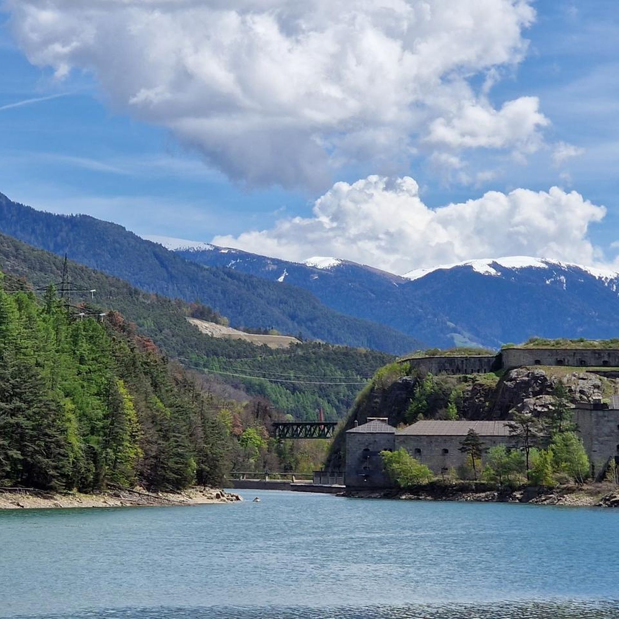
Mountaineering routes around Stausee Franzensfeste - Lake di Fortezza are set amidst the dramatic steep valley flanks and alpine scenery of South Tyrol, Italy. The region is characterized by the artificial reservoir with its green, shimmering waters, reflecting the surrounding mountainous terrain. To the northeast, the Zillertal Alps present imposing natural formations, while the Sarntal Alps are located to the southwest. This area offers diverse terrain for mountain-related pursuits.
Best mountaineering routes around Stausee Franzensfeste - Lake di Fortezza
- The…
Last updated: October 11, 2026
4.9
(7)
38
hikers
21.4km
07:48
1,040m
1,040m
Hard mountaineering route. Very good fitness required. Sure-footedness, sturdy shoes and alpine experience required.
4.7
(3)
25
hikers
18.6km
07:30
980m
980m
Hard mountaineering route. Very good fitness required. Sure-footedness, sturdy shoes and alpine experience required.

4.7
(3)
27
hikers
10.2km
03:06
270m
270m
Moderate mountaineering route. Good fitness required. Mostly accessible paths. Sure-footedness required.
4.5
(2)
20
hikers
16.9km
06:33
810m
810m
Hard mountaineering route. Very good fitness required. Sure-footedness, sturdy shoes and alpine experience required.
4.0
(5)
20
hikers
14.0km
05:56
1,070m
1,070m
Hard mountaineering route. Very good fitness required. Mostly accessible paths. Sure-footedness required.
Get access to more routes and recommendations from other explorers.
Already have an account?
Our route recommendations are based on thousands of hikes, rides, and runs completed by other people on komoot.
Start today with a free account
Your next adventure awaits.
Popular around Stausee Franzensfeste - Lake di Fortezza
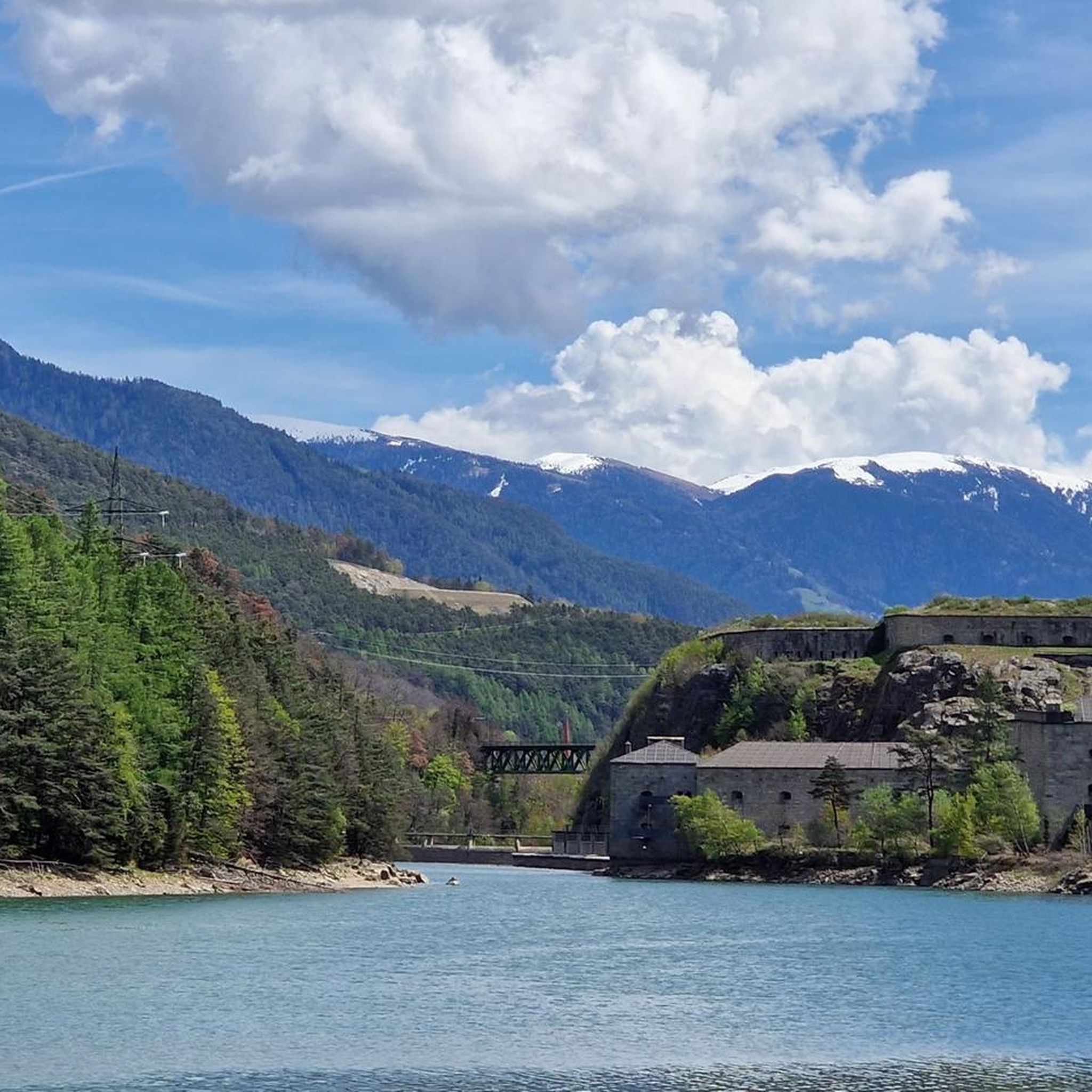
Cycling around Stausee Franzensfeste - Lake di Fortezza
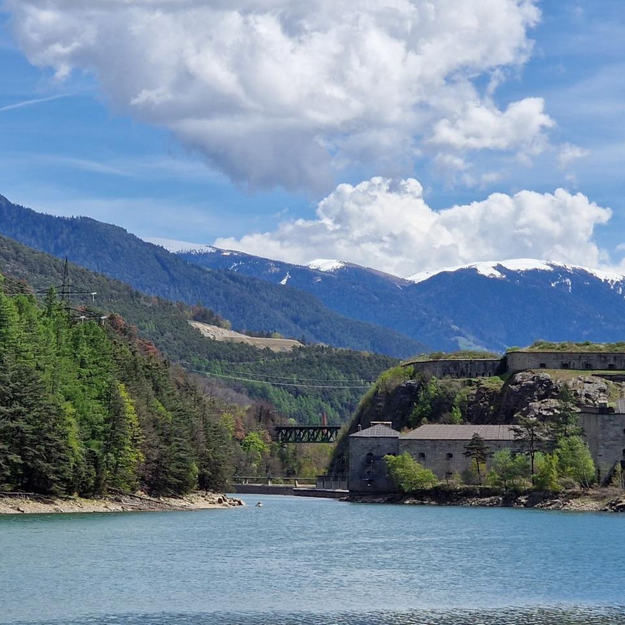
Road Cycling Routes around Stausee Franzensfeste - Lake di Fortezza
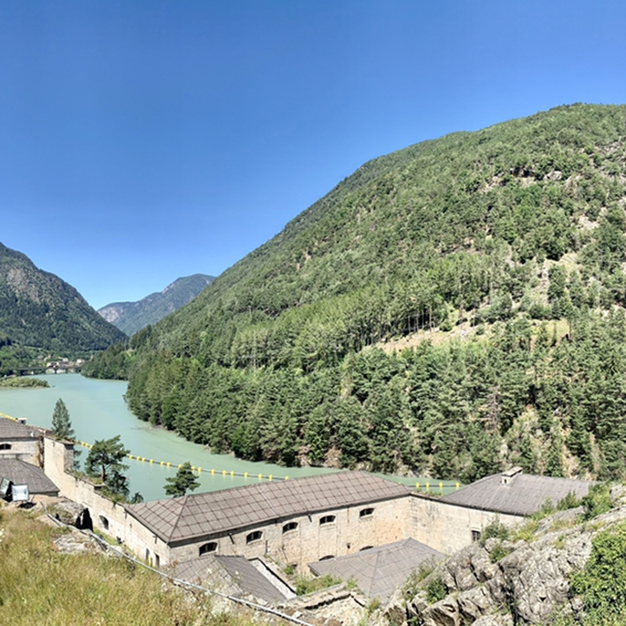
MTB Trails around Stausee Franzensfeste - Lake di Fortezza
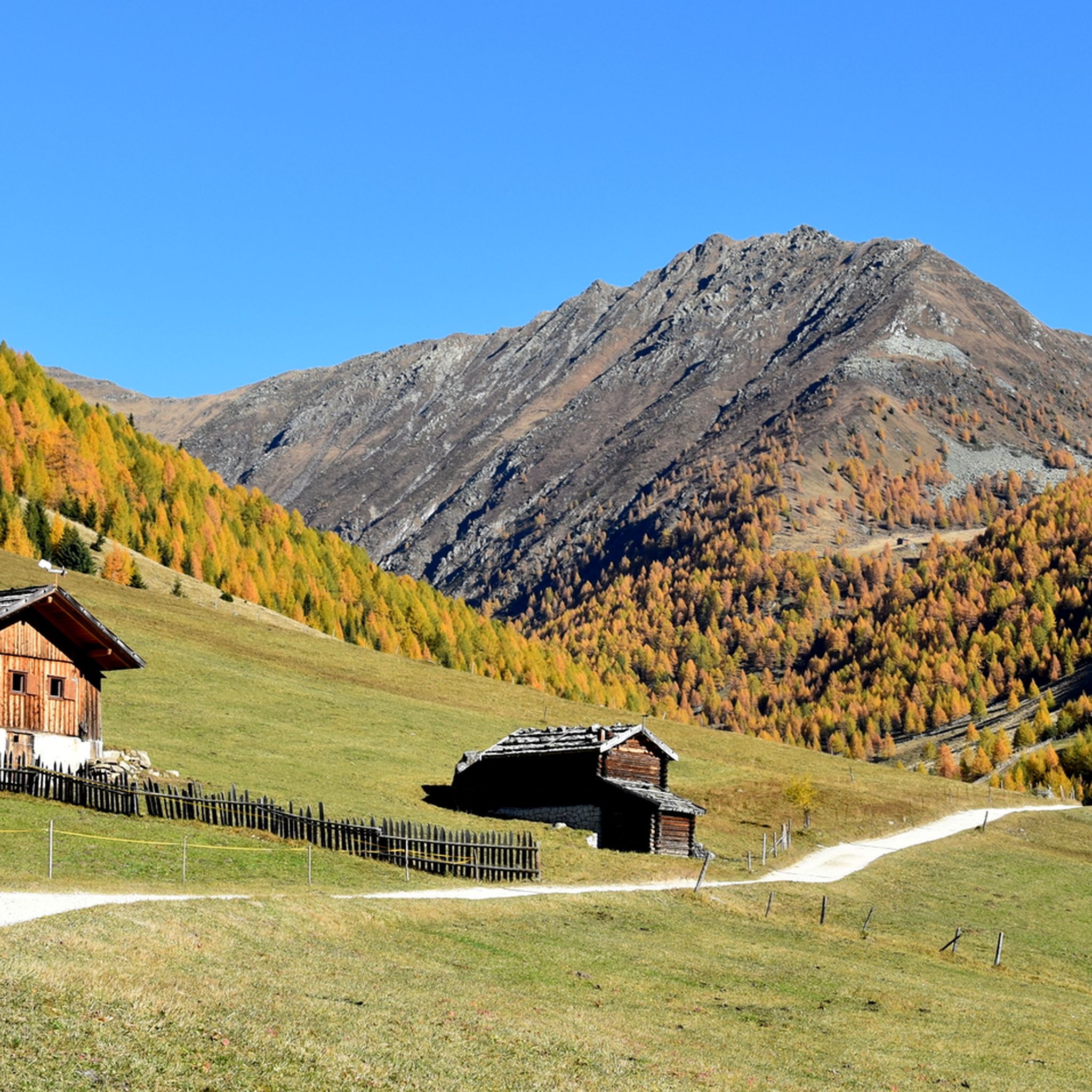
Hiking around Stausee Franzensfeste - Lake di Fortezza
Running Trails around Stausee Franzensfeste - Lake di Fortezza
Gravel biking around Stausee Franzensfeste - Lake di Fortezza
Tips from the Community

Valley station, this is where it starts
0
0

Super nice day down to Meransen
0
0
Magnificent lake in beautiful surroundings.
0
0
The path to Seefeldsee is very pleasant on the western ascent via the hut and offers beautiful views.
0
1
Simply beautiful in untouched nature
0
0
Beautiful path through the valley to Meransen
0
0

Nice location, beautiful view, rustic ambiance, friendly service, and above all, delicious food—always worth a stop!
1
0
Frequently Asked Questions
What types of mountaineering routes can I expect around Stausee Franzensfeste - Lake di Fortezza?
The region offers a diverse range of mountaineering experiences, from moderate ascents to more challenging, longer routes. You'll find paths leading through rugged alpine landscapes, steep valley flanks, and offering views of the Zillertal and Sarntal Alps. There are over 25 distinct mountaineering routes available, catering to various skill levels.
Are there any family-friendly mountaineering options near Stausee Franzensfeste - Lake di Fortezza?
While mountaineering routes generally require a certain level of fitness, some areas around Stausee Franzensfeste are known for being family-friendly, such as the climbing park above the fortress. For a moderate mountaineering experience that could be suitable for families with some hiking experience, consider the Zirmaitalm Mountain Hut loop from Schloß Salern - Castel Salern, which is about 6.2 miles long and leads through alpine landscapes.
What are some of the more challenging mountaineering routes in the area?
For experienced mountaineers seeking a significant challenge, the region offers several difficult routes. One such option is the Lago Grande (Seefeldsee) – Wieseralm loop from Meransen - Maranza, a demanding 13.3-mile path that provides extensive summit experiences. Another challenging route is the Wieserhütte – Schellenbergsteig Trail loop from Meransen - Maranza, covering 11.6 miles through varied alpine terrain.
What natural features or landmarks can I see along the mountaineering routes?
The routes offer stunning views of the artificial reservoir with its green, shimmering waters, reflecting the surrounding mountainous terrain. You'll also encounter dramatic steep valley flanks and alpine scenery. The imposing 19th-century Franzensfeste Fortress overlooks the lake, and you can find excellent vantage points like the View of Forte di Fortezza or the View of the Fortress. There's also a Historical Information Board: Reservoir and Autobahn providing context about the area.
Are there any circular mountaineering routes available?
Yes, many of the mountaineering routes around Stausee Franzensfeste are designed as loops, allowing you to start and end at the same point. Examples include the Zirmaitalm Mountain Hut loop from Schloß Salern - Castel Salern and the Lago Grande (Seefeldsee) – Wieseralm loop from Meransen - Maranza, both offering a complete circular experience.
What do other mountaineers enjoy most about the routes in Stausee Franzensfeste - Lake di Fortezza?
The area is highly rated by the komoot community, with an average score of 4.7 stars from over 50 reviews. Mountaineers frequently praise the rugged alpine landscapes, the dramatic steep valley flanks, and the breathtaking views of the Zillertal and Sarntal Alps. The variety of routes, catering to different ability levels, is also a highlight for many.
What is the best time of year for mountaineering in this region?
Given the alpine scenery and mountainous terrain, the best time for mountaineering around Stausee Franzensfeste is typically during the warmer months, from late spring to early autumn. This period offers more stable weather conditions and accessible trails. Always check local weather forecasts and trail conditions before heading out, especially in shoulder seasons.
Are there any moderate mountaineering routes for those with some experience but not looking for extreme challenges?
Absolutely. Besides the popular Zirmaitalm Mountain Hut loop, another excellent moderate option is the Altfasstal Valley – Wieseralm loop from Meransen - Maranza. This route covers approximately 6.3 miles and offers a rewarding experience through varied alpine terrain without the extreme demands of the most difficult trails.
Can I access the mountaineering routes using public transport?
Stausee Franzensfeste is strategically located and well-connected. The region's infrastructure, including access to the Brenner cycle path directly from Franzensfeste, suggests good public transport links to the area. It's advisable to check local bus or train schedules to specific trailheads, especially those starting from towns like Meransen - Maranza or Schloß Salern - Castel Salern.
Are there any longer, more extensive mountaineering tours available?
Yes, for those looking for longer, more extensive tours, the region offers routes that can take several hours to complete. For example, the Wieserhütte – Lake Seefeld loop from Meransen - Maranza is a difficult 10.5-mile route that typically takes over 6.5 hours, providing a full day of alpine exploration and stunning views.
Most popular routes around Stausee Franzensfeste - Lake di Fortezza
Most popular attractions around Stausee Franzensfeste - Lake di Fortezza

Get inspired with the komoot mobile app


Explore more
Browse the best Mountain Hikes & Routes in other regions.
