The best mountain hikes around Lake Valvestino
4.8
(110)
736
hikers
18
hikes
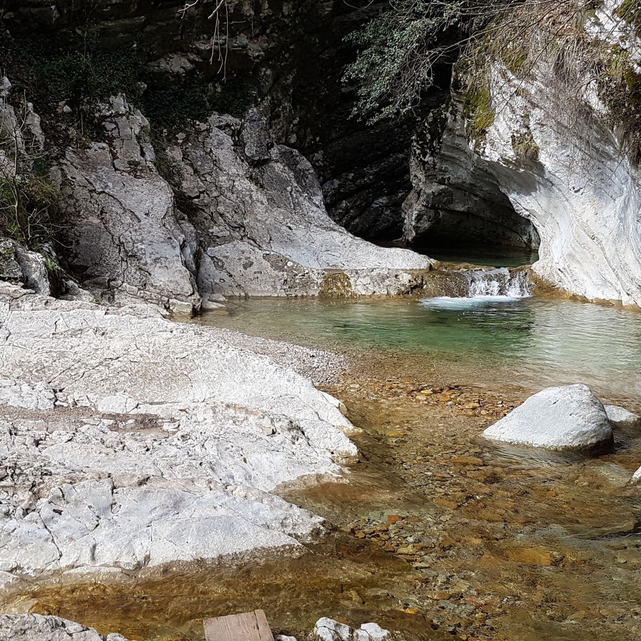
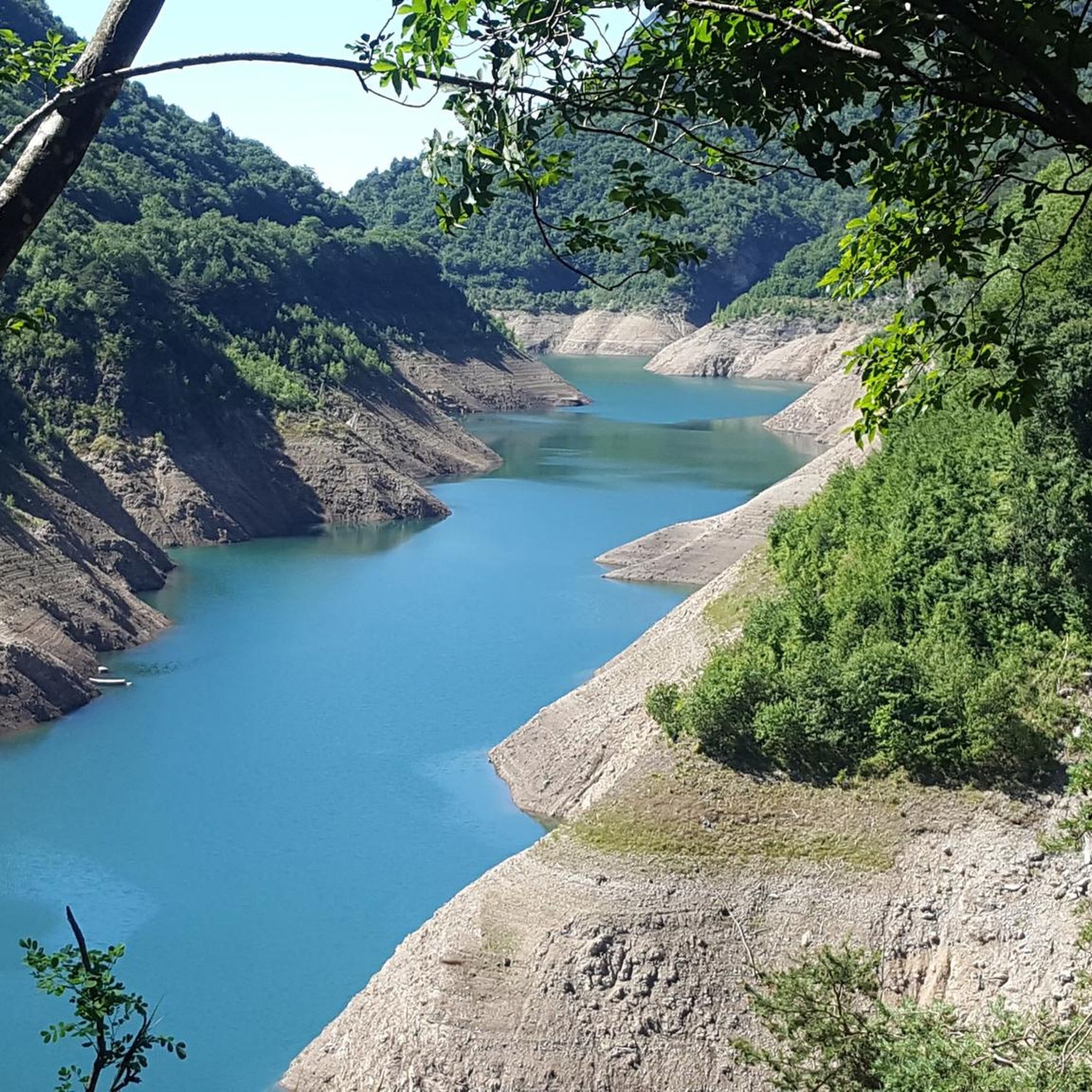
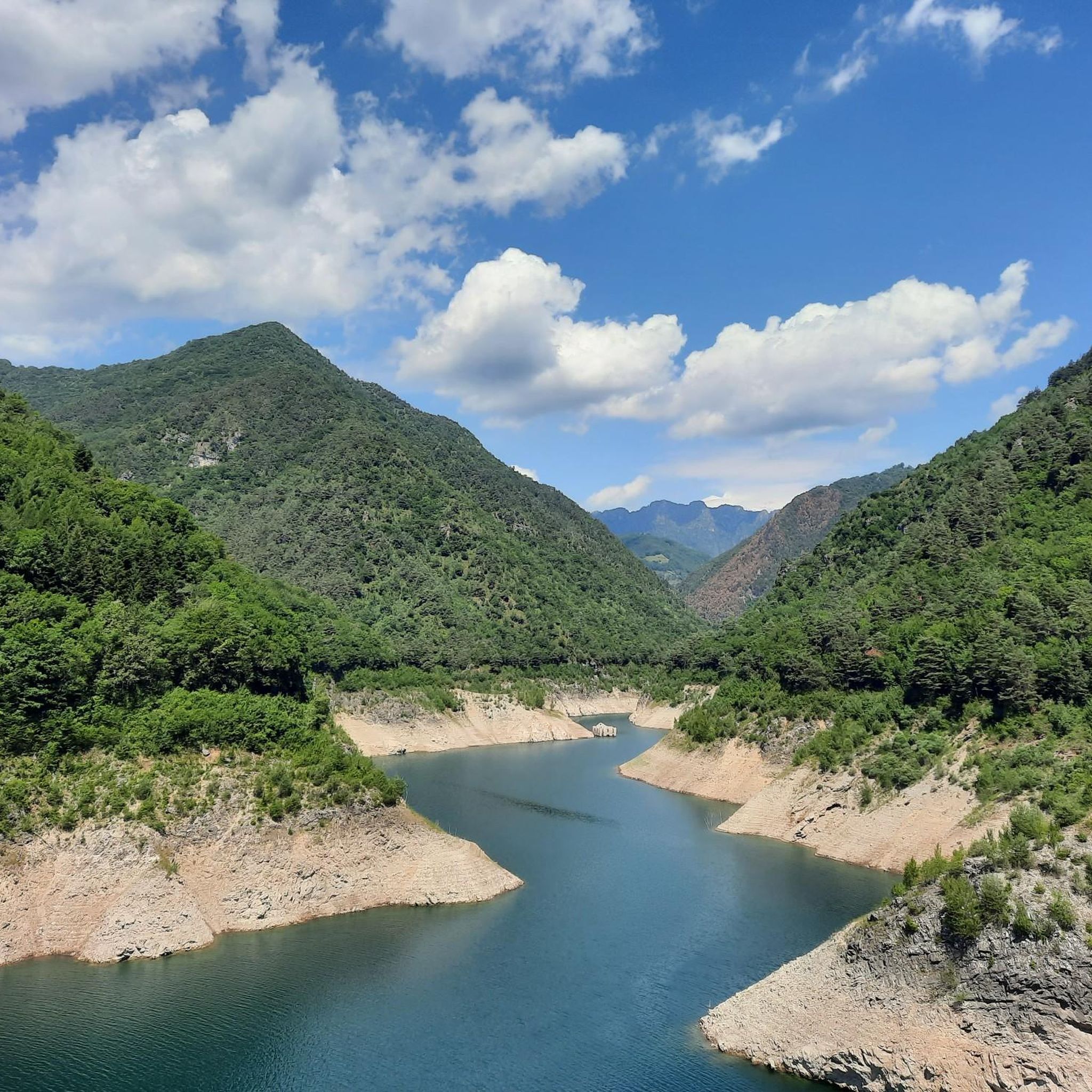
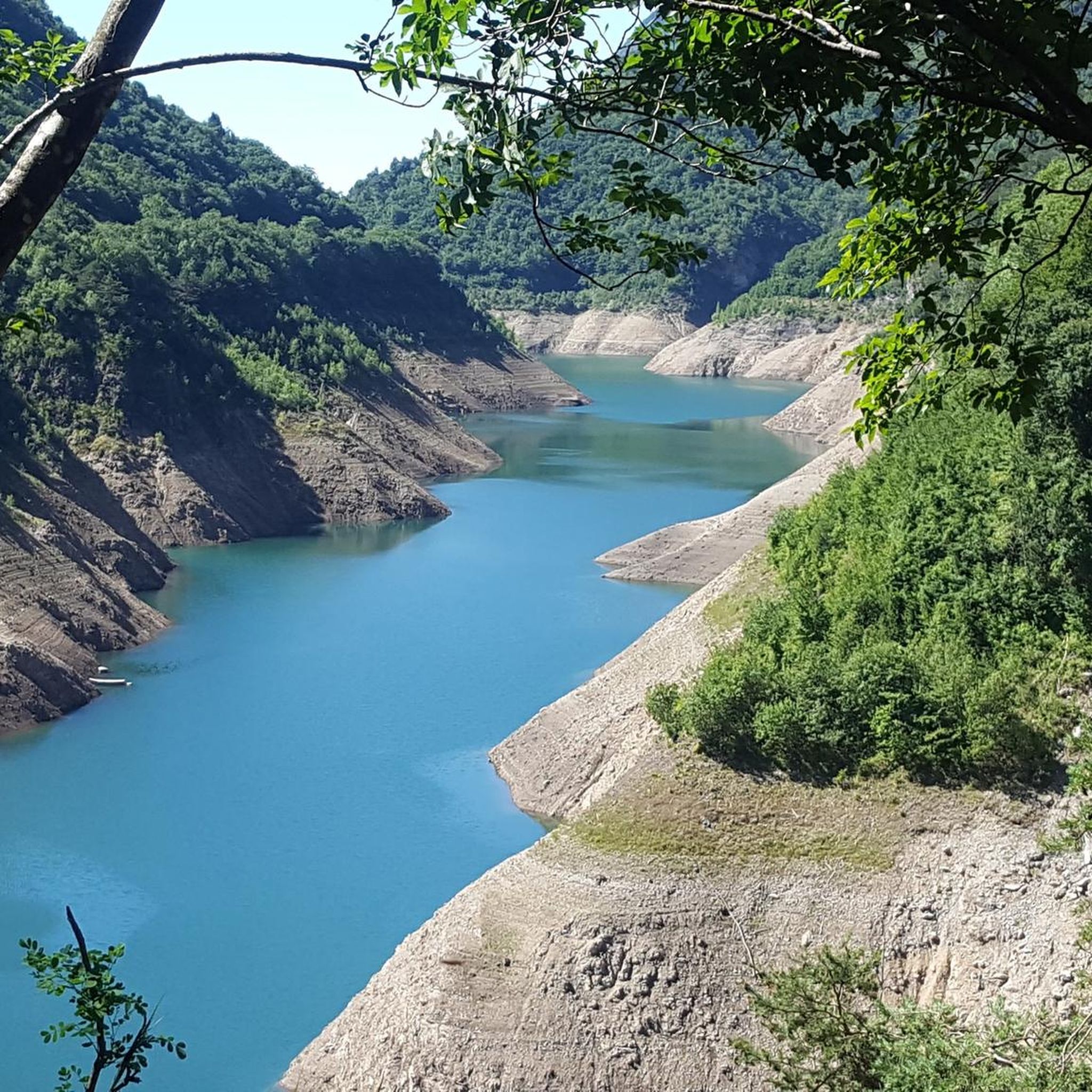
Mountaineering around Lake Valvestino is characterized by its fjord-like scenery, featuring tall cliffs and deep blue waters reflecting the surrounding mountains. The region is part of the Alto Garda Bresciano Park, offering a mountainous landscape with peaks exceeding 2000m. Dense forests, including ancient beech trees, and verdant pastures cover the valleys, contributing to diverse terrain for mountaineering routes. The area provides a range of trails from challenging ascents to paths through wilderness areas like Val di Vesta.
Best mountaineering routes…
Last updated: July 4, 2026
5.0
(4)
16
hikers
Hard mountaineering route. Great for any fitness level. Sure-footedness, sturdy shoes and alpine experience required.
5.0
(1)
10
hikers
6.76km
03:06
480m
480m
Hard mountaineering route. Good fitness required. Sure-footedness, sturdy shoes and alpine experience required.

Sign up for free
5.0
(1)
24
hikers
7.95km
04:12
710m
710m
Hard mountaineering route. Good fitness required. Sure-footedness, sturdy shoes and alpine experience required.
5.0
(1)
10
hikers
6.76km
03:11
500m
500m
Hard mountaineering route. Good fitness required. Sure-footedness, sturdy shoes and alpine experience required.
4.7
(14)
89
hikers
11.4km
06:04
1,020m
1,020m
Hard mountaineering route. Very good fitness required. Sure-footedness, sturdy shoes and alpine experience required.
Get access to more routes and recommendations from other explorers.
Sign up for free
Already have an account?
Our route recommendations are based on thousands of hikes, rides, and runs completed by other people on komoot.
Start today with a free account
Your next adventure awaits.
Login or Signup

Tips from the Community

Tips on where to park if you are in a group?
0
0

A top spot, beautifully situated directly above Lake Garda; if you set off early, you can visit the chapel and the hermit's living quarters alone; impressive views over Gargnano on the way there; it's best to park in Sasso and then follow the signposted trail; just before reaching the destination, there's a slight downhill section over rocks with safety ropes.
0
0

The return included the circumnavigation of Monte Castello di Gaino, passing through the Camerate valley (or Cartiere valley) where, in addition to being able to cool off in the stream, it is essential to pay maximum attention to the landslides in the area, currently placed under maximum attention and subject to safety interventions. Along the forest road, there are two barriers that delimit the risk area, with great caution it is possible to cross them.
0
0
Be careful in some places because the white and red markings are not always clearly visible, but the path is quite well-trodden. Challenging for people with little training in their legs.
0
0

Spectacular view, and beautiful route with only a little technical sections.
0
0

Not far from the path that leads to Monte Castello di Gaino, this panoramic point offers a spectacular view of Lake Garda. From here, you can admire the blue waters of the lake that extend to the horizon, surrounded by the rolling hills and mountains that outline its profile.
0
0

Going up the mountain out of Sasso, the road offers fantastic views of the town and the lake.
0
0
Frequently Asked Questions
What is the general difficulty level of mountaineering routes around Lake Valvestino?
Mountaineering around Lake Valvestino is primarily characterized by challenging routes. Out of 19 available routes, 17 are rated as difficult, with only 2 considered moderate. This region is ideal for experienced mountaineers seeking demanding ascents and varied terrain.
Are there any family-friendly mountaineering routes around Lake Valvestino?
The mountaineering routes around Lake Valvestino are generally quite challenging, with most rated as difficult. There are no routes specifically categorized as 'easy' for mountaineering. Families looking for less strenuous options might consider other types of hikes in the wider Alto Garda Bresciano Park, but for mountaineering, routes here require a good level of fitness and experience.
Can I bring my dog on mountaineering routes in the Lake Valvestino area?
The Alto Garda Bresciano Park, which encompasses Lake Valvestino, generally welcomes dogs on trails, provided they are kept on a leash. However, given the challenging nature of many mountaineering routes, ensure your dog is fit enough for the terrain and duration. Always carry enough water for both yourself and your pet.
Are there circular mountaineering routes available around Lake Valvestino?
Yes, several mountaineering routes around Lake Valvestino are circular. For example, the Monte Castello Summit loop from Navazzo is a popular circular option. Another challenging loop is the Monte Denervo – Cima Comer Viewpoint loop from Parco alto Garda bresciano, offering expansive views.
What natural landmarks or historical sites can I see while mountaineering around Lake Valvestino?
The region offers a blend of natural beauty and historical interest. You can encounter the unique fjord-like scenery of Lake Valvestino itself, and if water levels are low, the Submerged Ruins of Lake Valvestino (the old Lignago Customs House) may be visible. The Val di Vesta wilderness area features 18th-century columns and WWI fortifications. Routes like those to Tombea and Caplone mountains also pass by ancient military deposits and trenches from World War I.
When is the best time of year for mountaineering around Lake Valvestino?
The best time for mountaineering around Lake Valvestino is typically from late spring through early autumn (May to October). During these months, the weather is generally more stable, and trails are clear of snow, making for safer and more enjoyable ascents. The lake's waters exhibit a captivating change in color, appearing bright light blue in the summer and deep dark blue in the winter.
What essential gear should I bring for mountaineering in this region?
Given the challenging nature of most routes and the mountainous terrain, essential gear includes sturdy hiking boots with good ankle support, appropriate layered clothing for varying weather conditions, a waterproof jacket, a map and compass or GPS device, sufficient water and snacks, a first-aid kit, and sun protection. Trekking poles can also be beneficial on steep ascents and descents.
Are there opportunities for wild swimming near the mountaineering routes?
While Lake Valvestino itself is beautiful, it's primarily a reservoir and not typically promoted for wild swimming. However, the region is close to Lake Garda, which offers numerous designated swimming areas. For specific wild swimming spots, local inquiry or dedicated guides for the broader Alto Garda Bresciano Park might provide more detailed information.
What do other mountaineers enjoy the most about mountaineering in Lake Valvestino?
The area is highly rated by the komoot community, with an average score of 4.8 stars from over 100 reviews. Mountaineers frequently praise the dramatic fjord-like scenery, the tranquility compared to more crowded areas, and the challenging ascents that lead to expansive panoramic views, such as those from the Cima Comer viewpoint.
Are permits required for mountaineering in the Lake Valvestino region?
Generally, permits are not required for day hikes and mountaineering on established trails within the Alto Garda Bresciano Park, where Lake Valvestino is located. However, it's always advisable to check with local park authorities or tourist information centers for any specific regulations or temporary restrictions, especially if planning off-trail excursions or multi-day trips.
Is parking available at trailheads, and how accessible is the area by public transport?
Parking is typically available at or near the main trailheads for popular routes, such as those starting from Navazzo or Gargnano. However, public transport options directly to the more remote trailheads around Lake Valvestino can be limited. It is generally recommended to travel by car to access the starting points of most mountaineering routes in this region. For more detailed information on local transport, you might consult resources like Visit Valvestino.
Most popular routes around Lake Valvestino
Most popular attractions around Lake Valvestino

Get inspired with the komoot mobile app


Explore more
Browse the best Mountain Hikes & Routes in other regions.
