The best walks and hikes around Büttstedt
4.6
(2451)
9,151
hikers
19
hikes
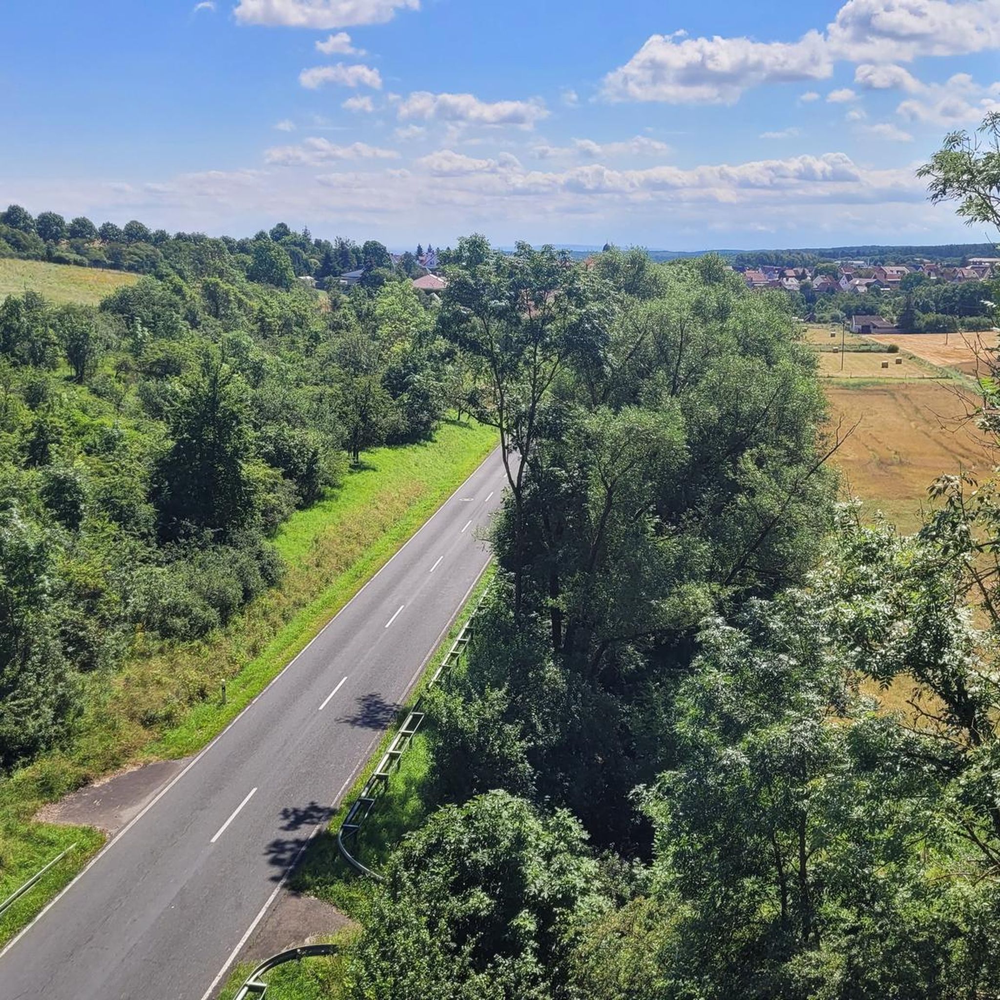
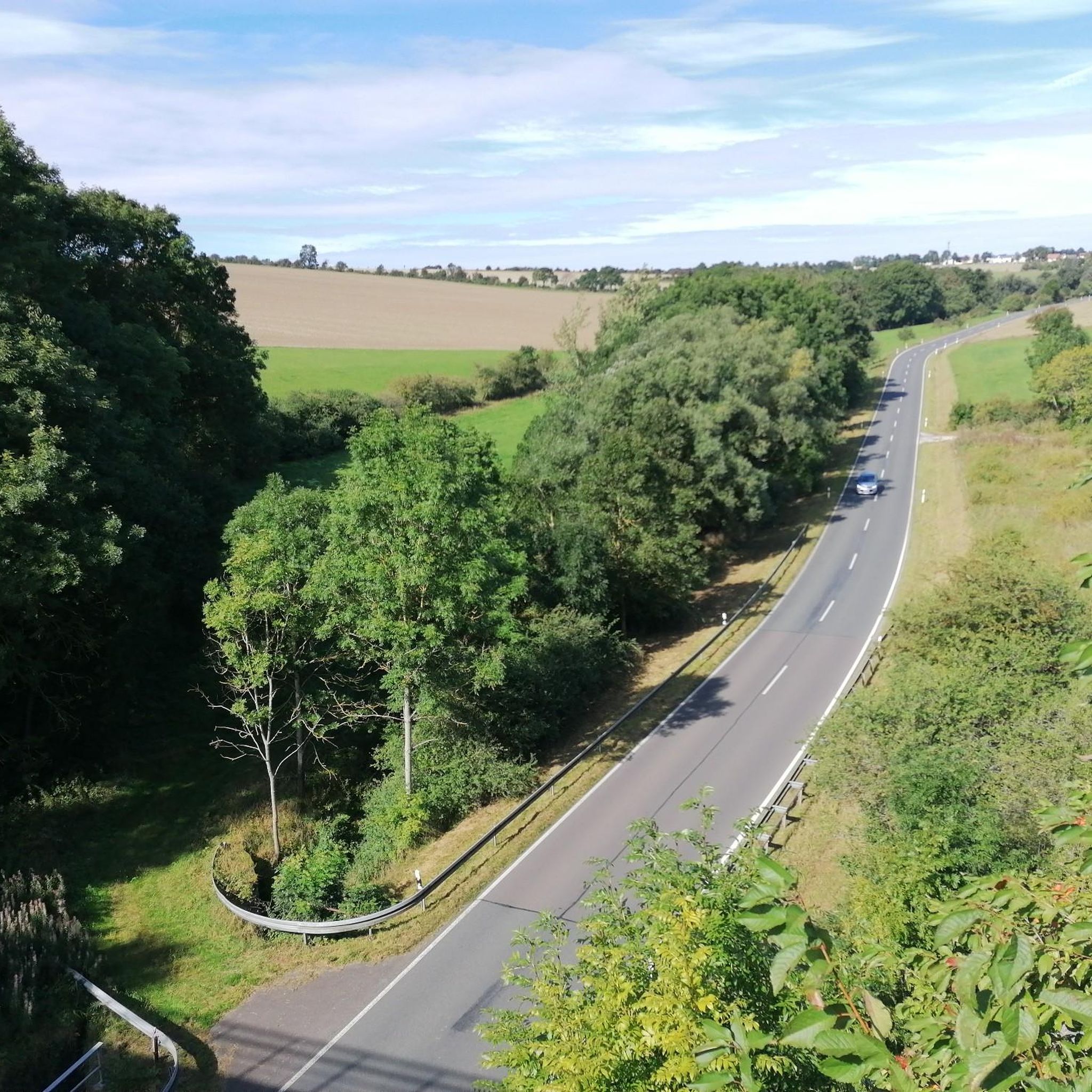
Hiking around Büttstedt offers diverse landscapes in the Eichsfeld district of Thuringia, Germany. The region is characterized by rolling hills and green forests, with the Unstrut River meandering through the area. Notable natural features include the picturesque Küllstedter Schweiz, providing varied terrain for outdoor activities.
Best hiking trails around Büttstedt
- The most popular hiking route is Lindenhof Restaurant – Kanonenbahn Bridge Ruins loop from Küllstedt, a 6.6 miles (10.7 km) trail that takes 2 hours 48 minutes to complete.…
Last updated: August 28, 2026
4.3
(4)
11
hikers
10.5km
02:54
180m
180m
Moderate hike. Good fitness required. Easily-accessible paths. Suitable for all skill levels.
5.0
(2)
15
hikers
4.03km
01:05
40m
40m
Easy hike. Great for any fitness level. Easily-accessible paths. Suitable for all skill levels.

Sign up for free
5.0
(4)
6
hikers
17.0km
04:36
230m
230m
Moderate hike. Good fitness required. Easily-accessible paths. Suitable for all skill levels.
4.5
(2)
13
hikers
8.99km
02:27
130m
130m
Moderate hike. Good fitness required. Easily-accessible paths. Suitable for all skill levels.
8
hikers
16.7km
04:36
280m
280m
Moderate hike. Good fitness required. Easily-accessible paths. Suitable for all skill levels.
Get access to more routes and recommendations from other explorers.
Sign up for free
Already have an account?
Our route recommendations are based on thousands of hikes, rides, and runs completed by other people on komoot.
Start today with a free account
Your next adventure awaits.
Login or Signup

Tips from the Community

It is beautiful to sit under the old lime trees. Still very moderate prices, it is best to pre-order at the weekend as it is usually quite full.
0
0

Very good restaurant with great dishes and very nice staff (advised us well on our further tour progress - thanks 😉). We will gladly come back 👋.
0
0

simply beautiful route along the old railway line
0
0
Impressive tunnels on this route - very cold in spring, but certainly pleasant in summer.
0
0

Here you can enjoy a wonderful holiday with the whole family. Horseback riding, barbecues, and a super friendly host family.
0
0

It's worth a stop. Great food at reasonable prices.
0
0

Wonderful for a short break.
1
0
Frequently Asked Questions
What types of hiking trails can I find around Büttstedt?
Büttstedt offers a diverse range of hiking trails, characterized by rolling hills and green forests typical of the Eichsfeld region. You'll find routes suitable for various skill levels, including 5 easy, 11 moderate, and 1 difficult trail, totaling 17 distinct routes. Many trails incorporate sections of the historic Kanonenbahn Rail Trail, providing a unique blend of nature and railway history.
Are there any easy hiking trails suitable for beginners or a relaxed stroll?
Yes, Büttstedt features several easy trails perfect for beginners or those seeking a leisurely walk. For instance, the Three Oaks – Lindenhof Restaurant loop from Küllstedt is an easy 5.4 km (3.3 miles) trail that takes about 1 hour 28 minutes, leading through local woodlands. Another accessible option is the Lindenhof Restaurant – Kanonenbahn Cycle Path loop from Küllstedt, a 3.6 km (2.2 miles) easy route.
What are some notable natural features or landmarks to see while hiking in the area?
The region around Büttstedt is rich in natural beauty and historical landmarks. You can explore the picturesque Küllstedter Schweiz, known for its scenic landscapes. A highlight for many hikers is the historic Kanonenbahn Rail Trail, which features impressive tunnels like the Küllstedter Tunnel and the magnificent Lengenfeld Railway Viaduct. Other points of interest include the Schimberg Cross at Martinfeld Window, offering great views, and the Elbe–Weser Watershed.
Are there any circular hiking routes around Büttstedt?
Yes, many of the trails around Büttstedt are designed as circular routes, allowing you to start and end at the same point. A popular moderate circular route is the Lindenhof Restaurant – Kanonenbahn Bridge Ruins loop from Küllstedt, which covers 10.7 km (6.6 miles) and takes approximately 2 hours 48 minutes. Another option is the Bickenrieder Gatehouse – Anrode Monastery loop from Büttstedt, a moderate 10.5 km (6.5 miles) path.
What do other hikers say about the trails in Büttstedt?
The hiking trails in Büttstedt are highly regarded by the komoot community, holding an impressive average rating of 4.6 stars from over 900 reviews. Hikers frequently praise the well-maintained paths, the scenic variety of rolling hills and forests, and the unique experience of traversing the historic Kanonenbahn Rail Trail, especially its tunnels and viaducts.
Is Büttstedt a good destination for family-friendly hikes?
Yes, Büttstedt offers several trails suitable for families. The region's easy and moderate routes, often featuring relatively gentle elevation changes and interesting historical elements like the Kanonenbahn, can be enjoyable for all ages. The shorter, easy loops are particularly well-suited for families with children.
Can I bring my dog on the hiking trails in Büttstedt?
Generally, dogs are welcome on hiking trails in the Büttstedt region. However, it's always advisable to keep your dog on a leash, especially in nature protection areas, near wildlife, or when encountering other hikers and livestock. Please ensure you clean up after your pet to maintain the natural beauty of the trails.
Where can I find parking for hiking trails near Büttstedt?
Parking facilities are typically available near popular trailheads and points of interest in and around Büttstedt and neighboring villages like Küllstedt. Specific parking information can often be found on individual route descriptions on komoot or local signage at the start of trails.
What is the best time of year to go hiking in Büttstedt?
The best time to hike in Büttstedt is generally from spring through autumn (April to October). During these months, the weather is usually pleasant, and the landscapes are vibrant with lush greenery or autumnal colors. Spring offers blooming flora, while autumn provides stunning foliage. Winter hiking is possible, but trails may be icy or snowy, requiring appropriate gear.
Are there any places to eat or stay for hikers in Büttstedt?
Büttstedt and its surrounding villages offer options for refreshments and accommodation. You can find local restaurants and cafes to refuel after your hike. For overnight stays, there are guesthouses and smaller hotels available in the municipality and nearby, providing a comfortable base for exploring the region.
How can I reach the hiking trailheads near Büttstedt using public transport?
While Büttstedt itself is a smaller municipality, public transport options, primarily bus services, connect it to larger towns in the Eichsfeld district. From these towns, you may find connections closer to specific trailheads. For detailed and up-to-date information on bus routes and schedules, it's best to consult local public transport websites or apps, as direct train connections to Büttstedt are limited.
Most popular routes around Büttstedt
Most popular attractions around Büttstedt

Get inspired with the komoot mobile app


Explore more
Browse the best Hikes in other regions.
