The best running trails around Stausee Mattmark
4.5
(38)
1,683
runners
57
runs
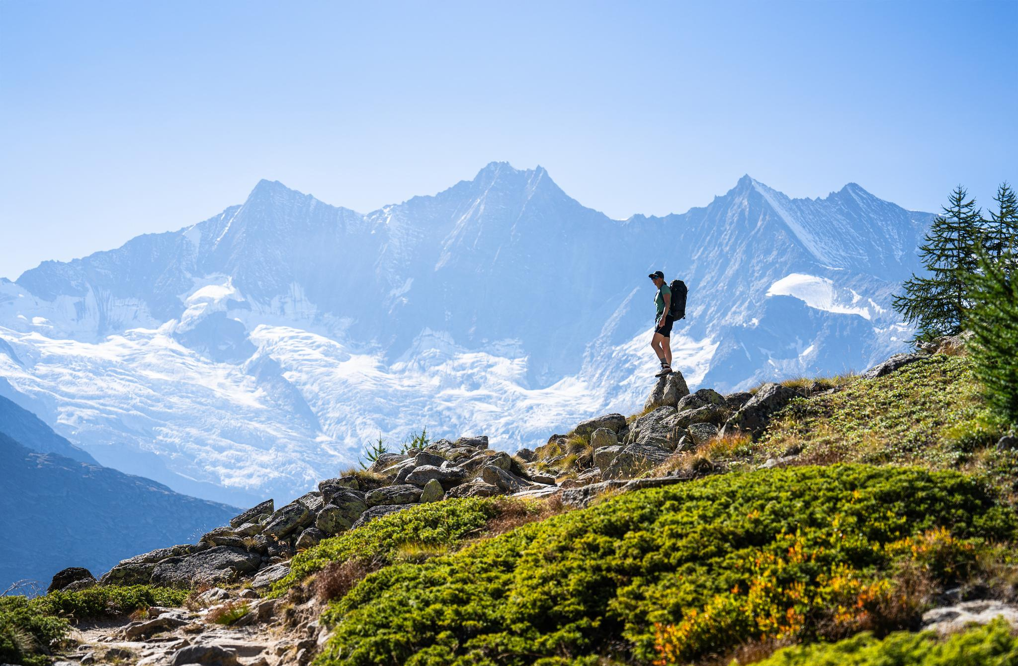
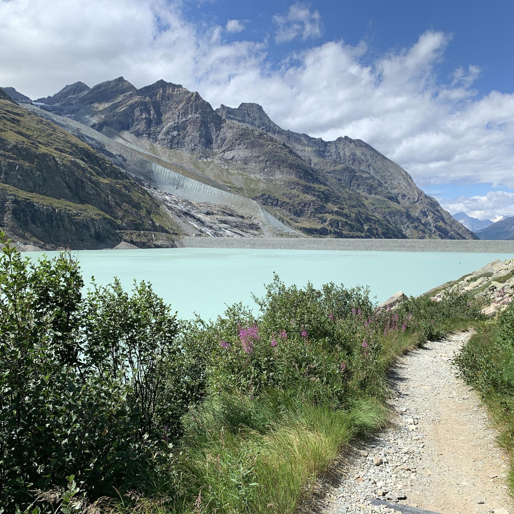
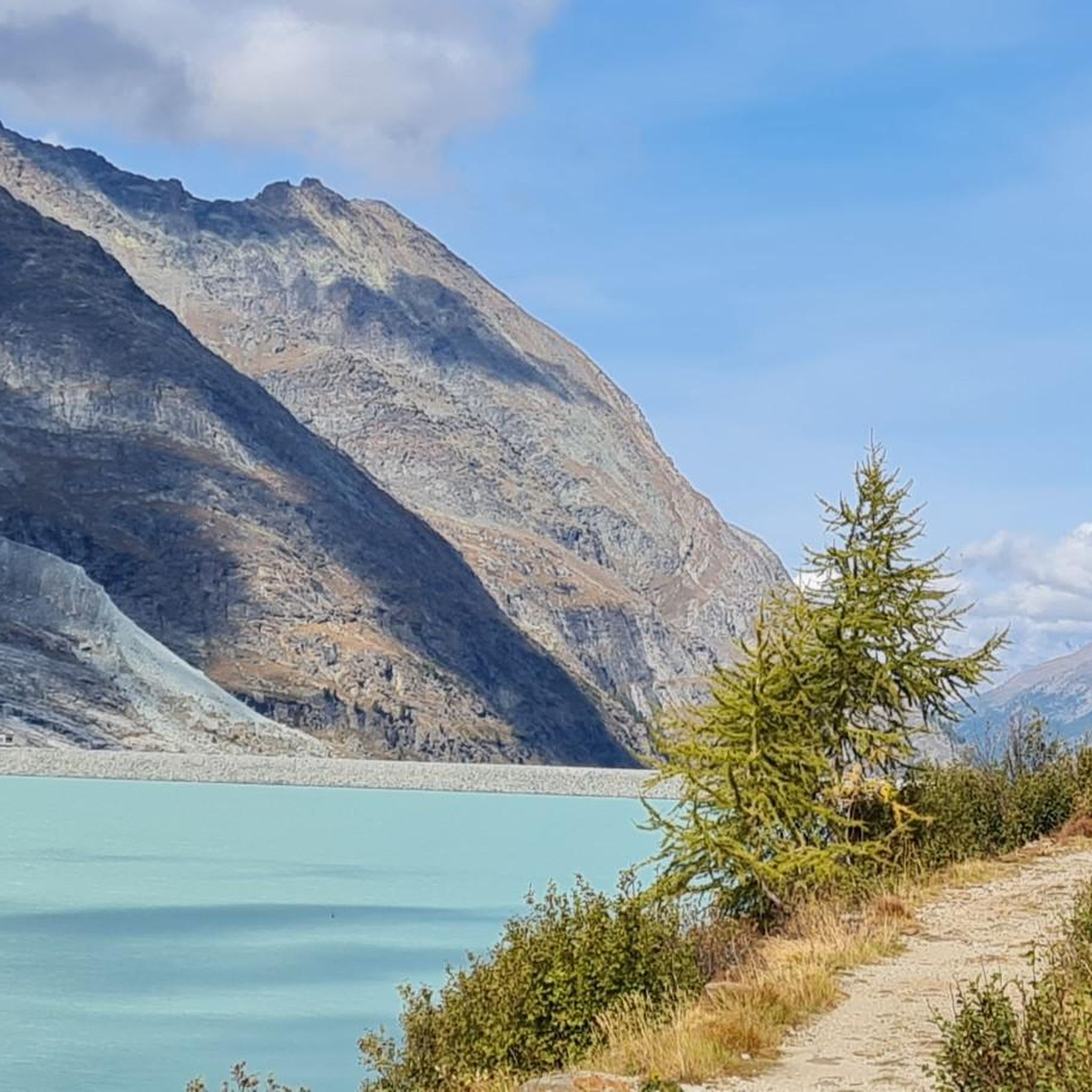
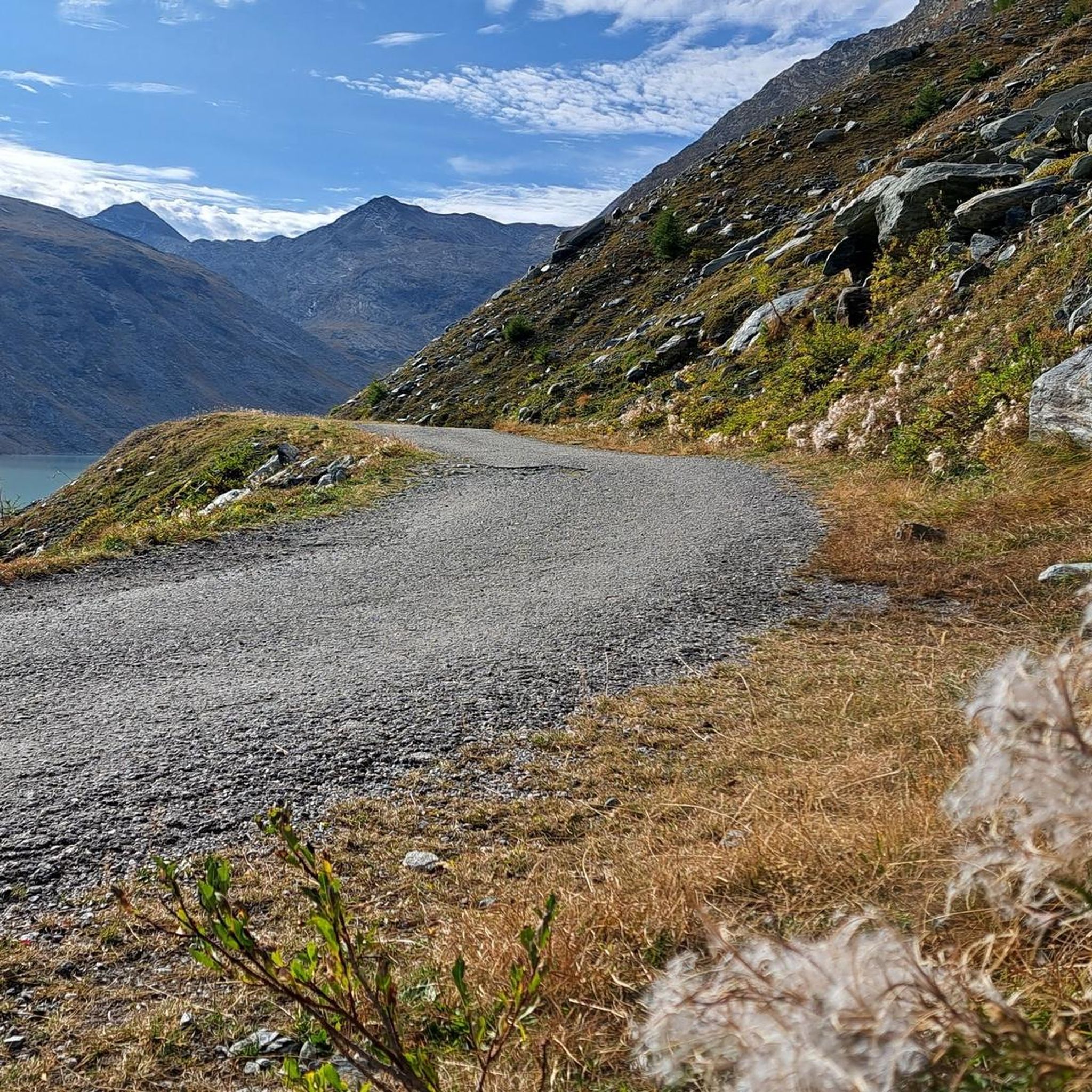
Jogging around Stausee Mattmark offers routes in a high-alpine setting within the Saas Valley of Switzerland. The region features a turquoise-blue artificial lake situated at over 2,000 meters above sea level, surrounded by glacial peaks and a dramatic mountain backdrop. Terrain includes wide dirt paths around the reservoir, with options extending into more challenging mountain trails. The area is characterized by its large earth dam and views of prominent peaks like the Rimpfischhorn and Strahlhorn.
Best jogging routes around Stausee…
Last updated: October 8, 2026
8
runners
Hard run. Very good fitness required. Sure-footedness, sturdy shoes and alpine experience required.
48
runners
9.05km
01:01
220m
220m
Moderate run. Good fitness required. Mostly paved surfaces. Suitable for all skill levels.

40
runners
14.1km
01:42
520m
520m
Hard run. Very good fitness required. Mostly paved surfaces. Suitable for all skill levels.
4.5
(2)
35
runners
20.2km
03:27
1,180m
1,180m
Hard run. Very good fitness required. Sure-footedness, sturdy shoes and alpine experience required.
13
runners
13.4km
01:30
320m
320m
Hard run. Very good fitness required. Mostly paved surfaces. Suitable for all skill levels.
Get access to more routes and recommendations from other explorers.
Already have an account?
Our route recommendations are based on thousands of hikes, rides, and runs completed by other people on komoot.
Start today with a free account
Your next adventure awaits.
Popular around Stausee Mattmark


Tips from the Community

pretty here, very pretty
3
0

A small path leads down from the road to this spot.
0
0

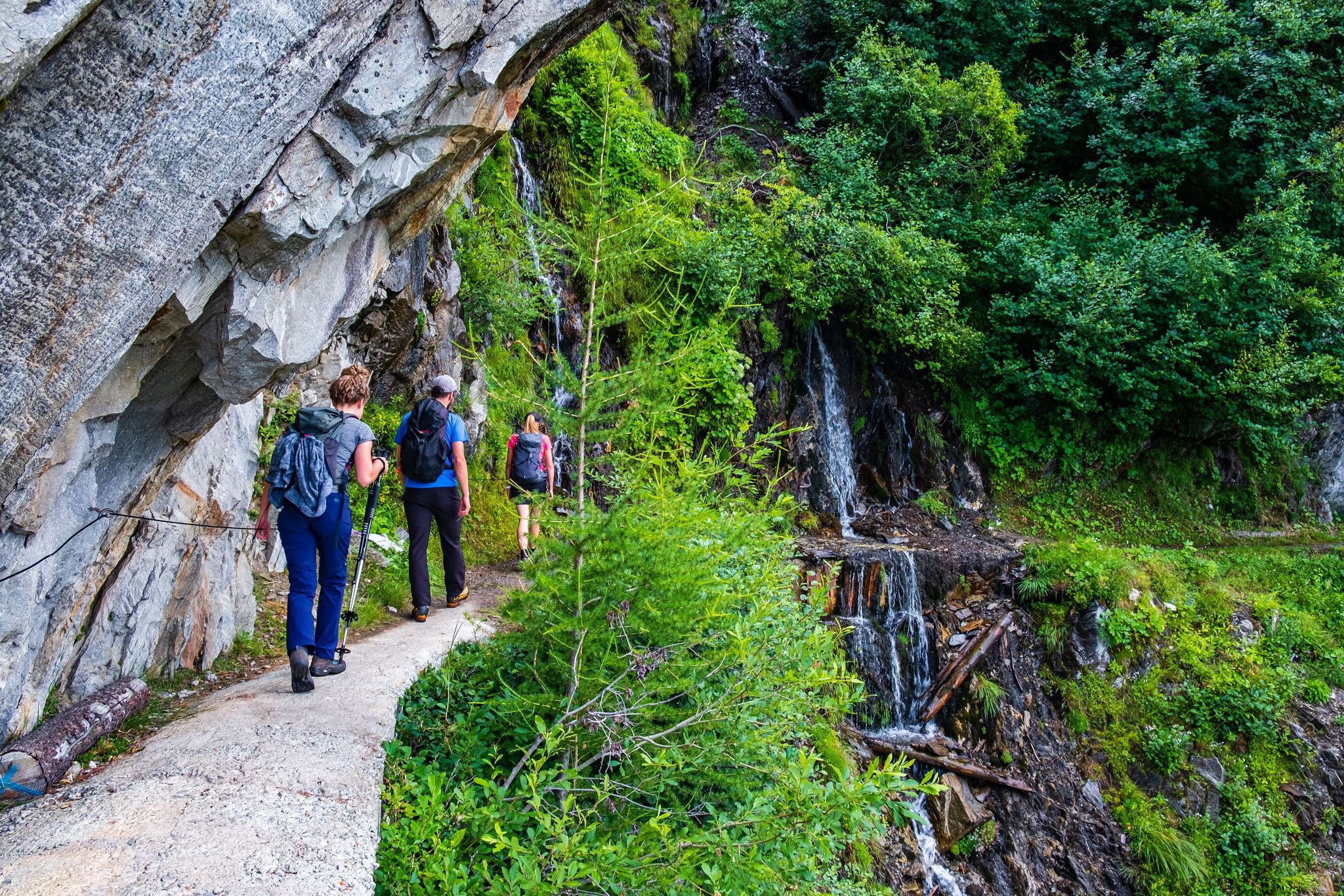
The Suonen (also called Wasserleite or French Bisse) carry the water, which is captured far up, over many kilometers through channels dug, carved into rocks or hewn from tree trunks to the meadows. Often, as here, a path leads along them to check and maintain the Suonen and to distribute the water to the participating farmers.
0
0

The Zermeiggern Chapel also serves as a memorial site where those who died in the Mattmark disaster are commemorated.
9
0
From here you have a great view towards Mattmark and there is a very nice playground.
8
0
From the dam you have a great view of the Saas Valley and the Valais mountains.
7
0

Super beautiful view ☺️ , also of the many waterfalls.
5
0

Frequently Asked Questions
How many running routes are available around Stausee Mattmark?
There are over 50 dedicated running routes around Stausee Mattmark, catering to various fitness levels. The komoot community has explored these trails over 1500 times, highlighting the area's popularity for outdoor enthusiasts.
Are there any easy or beginner-friendly jogging routes around Stausee Mattmark?
Yes, while many routes are challenging, there are 6 easy routes suitable for beginners or those looking for a more relaxed run. The circular path directly around the Mattmark Reservoir is a wide dirt path with minimal ascents, making it ideal for an enjoyable and relatively easy run.
What kind of terrain can I expect on the jogging trails at Stausee Mattmark?
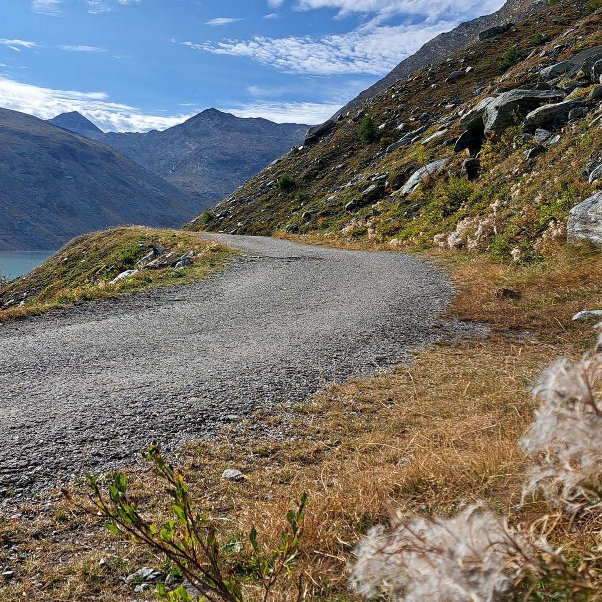
The terrain varies from wide, well-maintained dirt paths, especially around the Mattmark Reservoir, to more challenging high-alpine trails with significant elevation changes. You'll encounter stunning mountain backdrops and glacial landscapes throughout your run.
What are some notable landmarks or natural features to see while running around Stausee Mattmark?
Joggers can enjoy several impressive sights. The Mattmark Reservoir itself is a striking turquoise-blue lake. You might also encounter the unique Icicle Tunnel at the Mattmark Reservoir on the east side, or the impressive Waterfall Over Hexagonal Basalt Columns. The massive Mattmark Dam is also a significant engineering marvel.
Are there any circular running routes in the Stausee Mattmark area?
Yes, the most prominent circular route is the 8 km loop directly around the Mattmark Reservoir. For a more challenging option, consider the Monte Moro Pass – Mattmark Reservoir loop from Staudamm Mattmark, which offers high-alpine views.
Is Stausee Mattmark suitable for family jogging or running with children?
The circular path around the Mattmark Reservoir is particularly family-friendly. Sections of the path along the west shore are even wheelchair and stroller accessible, indicating a smooth and well-maintained surface suitable for families with younger children or those using jogging strollers.
Can I bring my dog on the running trails at Stausee Mattmark?
The Stausee Mattmark area is generally dog-friendly, offering a natural environment for you and your canine companion. However, it's always advisable to keep dogs on a leash, especially in areas with wildlife or near grazing animals, and to check local regulations for specific trails.
What is the best time of year for running at Stausee Mattmark?
The best time for running is typically during the warmer months, from late spring to early autumn, when the trails are clear of snow and ice. The high-alpine setting means refreshing air and stunning views. Winter running is possible but requires appropriate gear and awareness of snow conditions.
Are there places to eat or get refreshments near the jogging routes?
Yes, there is a restaurant located at the Mattmark Dam crest, offering refreshments and views of the reservoir and Monte Moro Pass. This provides a convenient stop before or after your run.
How can I get to Stausee Mattmark using public transport?
Stausee Mattmark is accessible by public transport, primarily by bus. Buses typically run from Saas-Almagell up to the Mattmark Dam, which serves as a convenient starting point for many routes. It's recommended to check the current bus schedules for the Saas Valley region.
Is there parking available for runners at Stausee Mattmark?
Yes, parking facilities are available near the Mattmark Dam, which is the main access point for the reservoir and its surrounding trails. This makes it convenient for those traveling by car to access the jogging routes.
What do other runners enjoy most about jogging in Stausee Mattmark?
The area is highly rated by the komoot community, with an average score of 4.8 stars from over 20 reviews. Runners often praise the breathtaking high-alpine scenery, the dramatic mountain backdrop, and the unique experience of running around Europe's largest earth dam. The sense of tranquility and the opportunity for wildlife observation are also frequently highlighted.
Most popular routes around Stausee Mattmark
Most popular attractions around Stausee Mattmark

Get inspired with the komoot mobile app


Explore more
Browse the best Running Trails & Routes in other regions.
