The best running trails around Lake Alserio
4.2
(128)
7,805
runners
311
runs
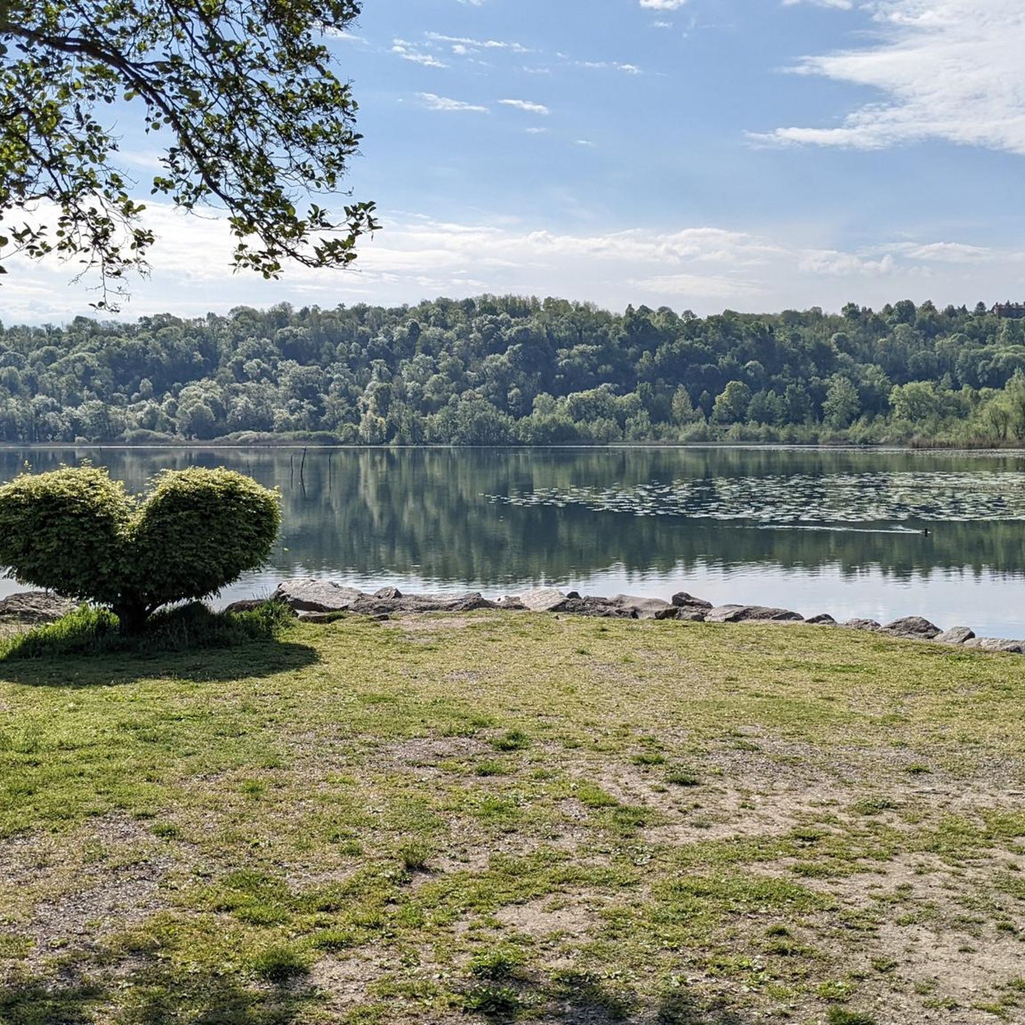
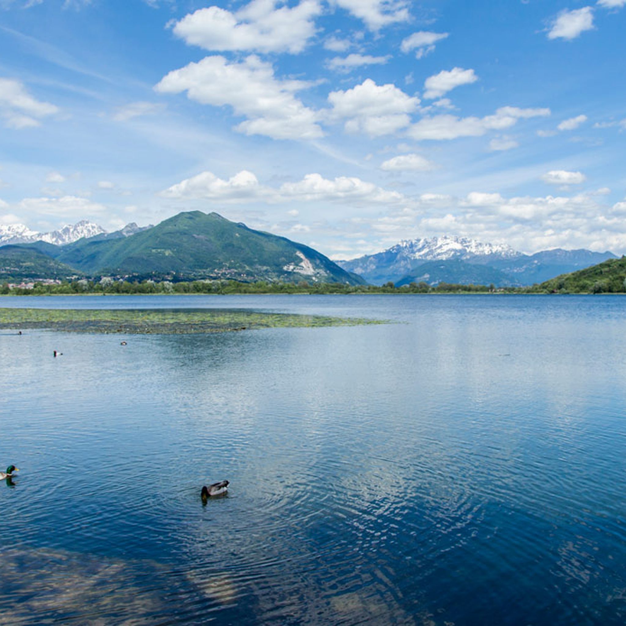
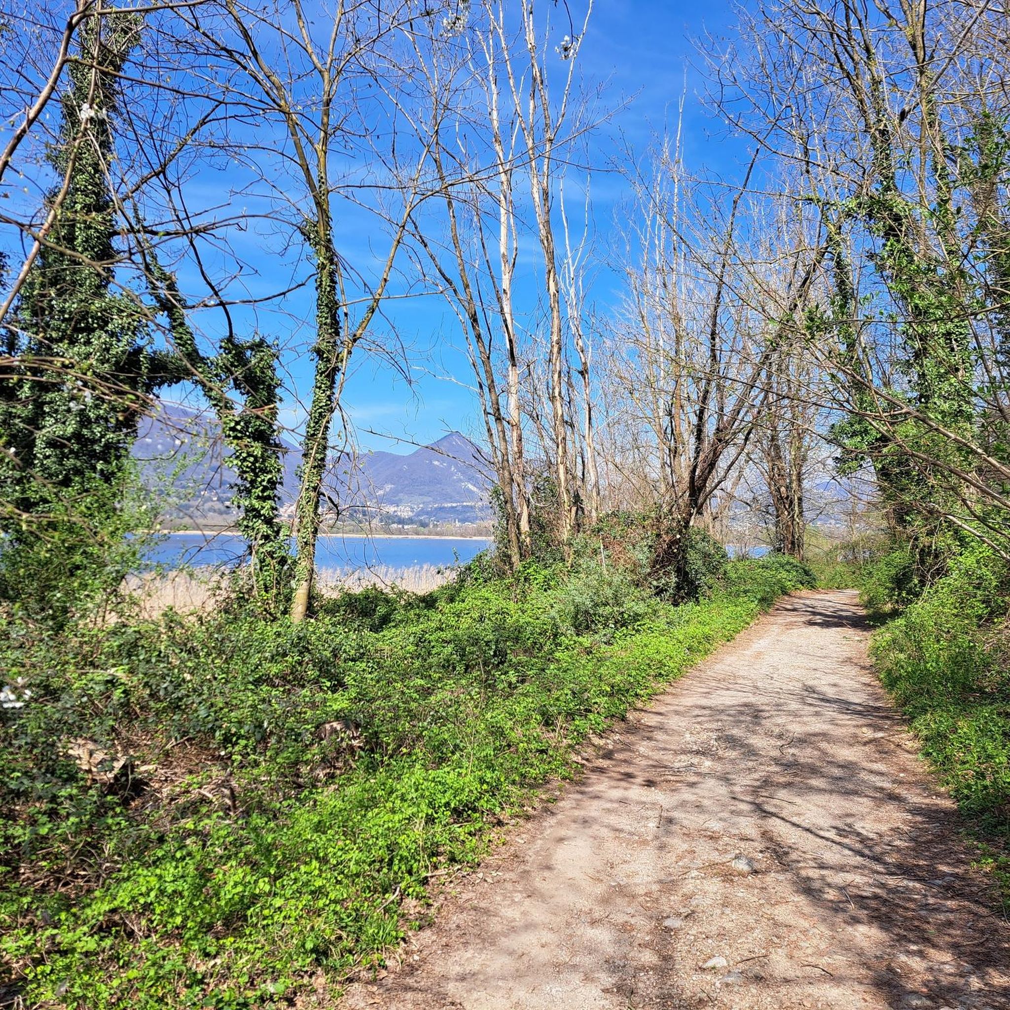
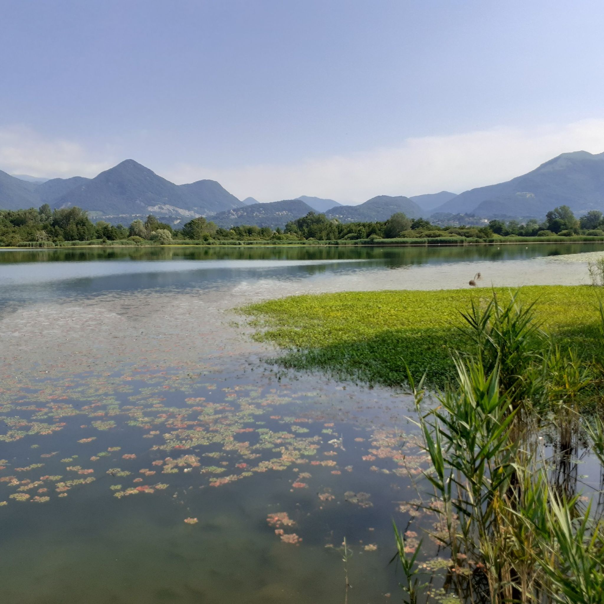
Jogging around Lake Alserio offers a diverse range of running paths, from tranquil lakeside routes to more challenging trails ascending nearby hills. The region is characterized by its freshwater lake, surrounded by a mix of woodlands and open terrain. Runners can expect varied elevations, with some routes providing gentle, flat sections and others featuring significant climbs into the surrounding landscape. The area provides a natural setting for both casual jogs and more strenuous running workouts.
Best jogging routes around Lake…
Last updated: July 1, 2026
3.0
(2)
37
runners
Moderate run. Good fitness required. Mostly paved surfaces. Suitable for all skill levels.
3.0
(2)
265
runners
29.4km
04:58
1,680m
1,680m
Hard run. Very good fitness required. Sure-footedness, sturdy shoes and alpine experience required.

Sign up for free
10
runners
8.10km
00:51
60m
60m
Moderate run. Good fitness required. Mostly paved surfaces. Suitable for all skill levels.
8
runners
9.13km
00:57
70m
70m
Moderate run. Good fitness required. Mostly paved surfaces. Suitable for all skill levels.
3
runners
6.80km
00:43
100m
100m
Moderate run. Good fitness required. Mostly paved surfaces. Suitable for all skill levels.
Get access to more routes and recommendations from other explorers.
Sign up for free
Already have an account?
Our route recommendations are based on thousands of hikes, rides, and runs completed by other people on komoot.
Start today with a free account
Your next adventure awaits.
Login or Signup

Tips from the Community


The scenic trail between Capanna Mara and the summit of Monte Bollettone (also known as Sentiero delle Colme) is one of the most spectacular and frequented sections of the Larian Triangle. Walking along this grassy ridge, you can enjoy an exceptional view that simultaneously spans the lakes of Brianza to the south and Lake Como with the Grigne and Resegone to the north.
0
0

Beautiful summit where you have a 360° view
1
1

Relief between Palanzone and Bolettone, beautiful panorama
0
0
Very nice place, since I passed by there very early the refuge was closed but 50m away there is an ultra-panoramic clearing
1
0

Rifugio Riella is located at about 1,275 meters above sea level on the western side of Monte Palanzone, in the municipality of Faggeto Lario, in the province of Como. Built in 1908 by the Pizzo Badile Club and dedicated to Angelo Riella, the refuge was renovated in 2008. Managed by Marco Brenna, it offers 25 beds and a dining area with 60 seats inside and another 30 seats outside. It is equipped with services such as hot water, heating and a rock gym for sport climbing. The refuge is open all year round, with variable hours: during the months of July and August it is open every day, while during the rest of the year it is available on weekends and Wednesdays. It is advisable to check the opening hours and book in advance, especially during periods of high attendance. To reach Rifugio Riella, you can start from Colma di Sormano, a pass located at 1,124 meters above sea level, and follow a well-marked path that leads to the refuge in about 1 hour and 30 minutes, with a difference in altitude of 300 meters. Once there, visitors can enjoy a spectacular panoramic view of Lake Como and the Lombard Prealps, making Rifugio Riella an ideal destination for excursions and outdoor activities, but also for moments of relaxation immersed in nature.
2
2
Capanna Mara is a refuge located on the slopes of Mount Bollettone, one of the most famous peaks of the Larian Triangle, in the province of Como. It is located at about 1,300 meters above sea level and is an ideal destination for hikers who want to explore the area, enjoying breathtaking views of Lake Como and the surrounding mountains. Capanna Mara can be reached via various paths that start from Pian del Tivano, Asso and Caglio, and is a perfect place to stop during excursions to the summit of Bollettone. The path to the refuge is of medium difficulty and winds through woods, clearings and panoramic stretches that offer beautiful views of the valley and the lake. Once you arrive, the refuge offers a warm and hospitable welcome, with typical local dishes, such as polenta and cheeses, ideal for restoring after a day of trekking. Furthermore, the position of Capanna Mara makes it an excellent starting point for longer hikes, leading to Monte Bollettone or Monte Palanzone, both panoramic peaks that offer spectacular views. Capanna Mara is open mainly during the summer season, but it is also a reference point for hikers who want to enjoy the natural beauty of the Larian Triangle.
1
0

360° panorama of the plain and mountains
2
0
Frequently Asked Questions
How many running routes are available around Lake Alserio?
There are over 300 running routes documented on komoot for the Lake Alserio area, catering to various skill levels and preferences. This includes 19 easy routes, 188 moderate routes, and 101 difficult trails for more experienced runners.
Are there any easy or beginner-friendly running paths near Lake Alserio?
Yes, Lake Alserio offers 19 easy running routes perfect for beginners or those looking for a relaxed jog. These paths typically feature gentler terrain and shorter distances, allowing you to enjoy the scenery without significant challenge.
Can I find circular running routes around Lake Alserio?
Absolutely. Many runners enjoy the loop options available. A popular choice is the Lakeside Trail at Lake Alserio – Gardens on Lake Alserio loop from Alserio, which offers continuous lake views over 10.6 km. Another option is the Running loop from Monguzzo, a moderate 8.1 km path through the countryside.
What are the best seasons for running around Lake Alserio?
The Lake Alserio region is beautiful year-round. Spring and autumn offer pleasant temperatures and vibrant natural colors, making them ideal for running. Summer can be warm, so early morning or late afternoon runs are recommended. Winter running is also possible, though some higher elevation trails might require more caution due to potential ice or snow.
Are there any challenging or long-distance running trails in the area?
For those seeking a challenge, Lake Alserio provides over 100 difficult routes. Trails like the Mount Bolettone – Monte Palanzone loop from Erba, spanning nearly 30 km with significant elevation gain, offer strenuous workouts and rewarding views from the surrounding hills.
What do other runners say about the trails around Lake Alserio?
The running trails around Lake Alserio are highly regarded by the komoot community, boasting an average rating of 4.1 stars from over 200 reviews. Runners often praise the diverse terrain, from tranquil lakeside paths to scenic hill climbs, and the natural beauty of the region.
Are the running routes around Lake Alserio suitable for families?
Yes, many of the 19 easy routes are suitable for families looking for a gentle jog or walk. These paths are typically flatter and shorter, providing a pleasant outdoor experience for all ages. Always check the specific route details for distance and elevation to ensure it matches your family's ability.
Are there any dog-friendly jogging trails near Lake Alserio?
Most natural trails around Lake Alserio are dog-friendly, provided your dog is on a leash and you clean up after them. The lakeside paths and routes through the countryside, such as the Running loop from Monguzzo, are generally good options. Always be mindful of local regulations and other trail users.
Where can I find parking for the running trails around Lake Alserio?
Parking is generally available in the towns and villages surrounding Lake Alserio, such as Alserio or Erba, which serve as common starting points for many routes. Specific parking information can often be found in the details of individual komoot tours.
Are there any scenic viewpoints or attractions along the running routes?
Many routes offer picturesque views of Lake Alserio and the surrounding Lombardy landscape. Higher elevation trails, like those ascending Mount Bolettone or Monte Palanzone, provide panoramic vistas. The Lakeside Trail at Lake Alserio also features views of the lake's gardens.
How accessible are the running paths around Lake Alserio by public transport?
The towns around Lake Alserio, such as Erba, are generally accessible by local bus services, which can connect to larger train stations in the region. From these towns, you can often reach trailheads within walking distance. It's advisable to check local bus schedules for specific routes and timings.
Are there less crowded running options if I prefer solitude?
While the main lakeside paths can be popular, especially on weekends, exploring some of the longer or more challenging routes into the hills, such as the Alpe del Viceré – Monte Palanzone loop from Erba, can offer more solitude. Early mornings or weekdays are also good times to find quieter trails.
Most popular routes around Lake Alserio

Get inspired with the komoot mobile app


Explore more
Browse the best Running Trails & Routes in other regions.
