The best mountain hikes around Lake Delio
4.8
(15)
88
hikers
11
hikes
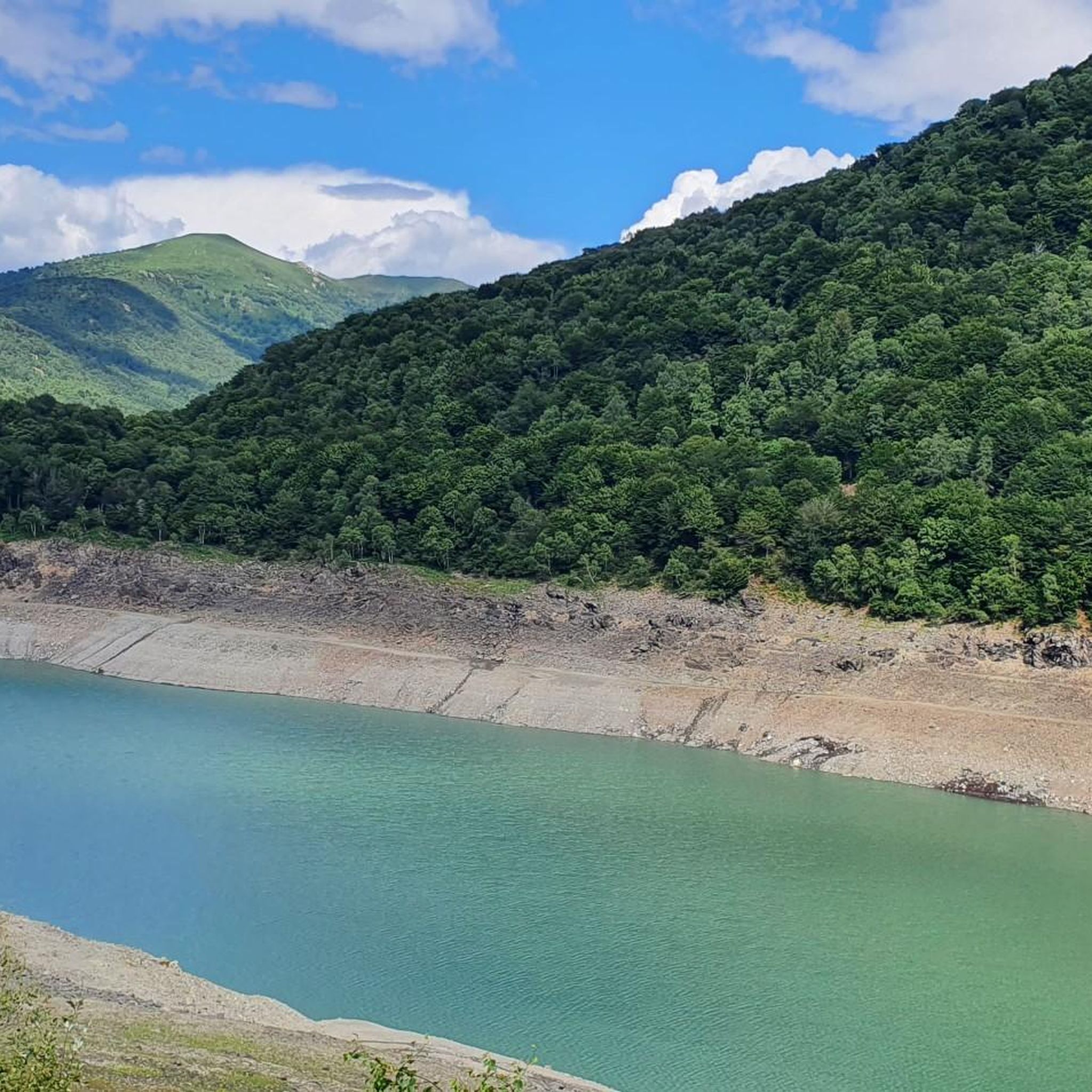
Mountaineering routes around Lake Delio are situated in the Province of Varese, Lombardy, Italy, at an elevation of 930 meters. The region is characterized by mountainous terrain, offering panoramic views of the surrounding peaks and Lake Maggiore. Alpine scenery, including forests and open landscapes, defines the area, which has a glacial origin. These conditions provide a diverse environment for alpine pursuits.
Best mountaineering routes around Lake Delio
- The most popular mountaineering route is Monte Carza loop from Cannobio, an…
Last updated: July 4, 2026
4.5
(2)
17
hikers
14.9km
06:25
1,060m
1,060m
Hard mountaineering route. Very good fitness required. Sure-footedness, sturdy shoes and alpine experience required.
4
hikers
14.0km
05:59
920m
920m
Hard mountaineering route. Very good fitness required. Mostly accessible paths. Sure-footedness required.

Sign up for free
5.0
(3)
6
hikers
13.5km
07:09
1,310m
1,310m
Hard mountaineering route. Very good fitness required. Sure-footedness, sturdy shoes and alpine experience required.
5.0
(2)
10
hikers
13.6km
07:17
1,220m
1,220m
Hard mountaineering route. Very good fitness required. Sure-footedness, sturdy shoes and alpine experience required.
5.0
(2)
11
hikers
12.4km
06:47
1,200m
1,200m
Hard mountaineering route. Very good fitness required. Sure-footedness, sturdy shoes and alpine experience required.
Get access to more routes and recommendations from other explorers.
Sign up for free
Already have an account?
Our route recommendations are based on thousands of hikes, rides, and runs completed by other people on komoot.
Start today with a free account
Your next adventure awaits.
Login or Signup
Tips from the Community

Not recommended, we did the hike yesterday, but had to turn back after about half way as many fallen trees blocked the path and bypassing them was initially possible but very demanding due to the steep slope, later it was impossible to get through, problem-free up to Alpe Gallona then better to turn back.
1
0


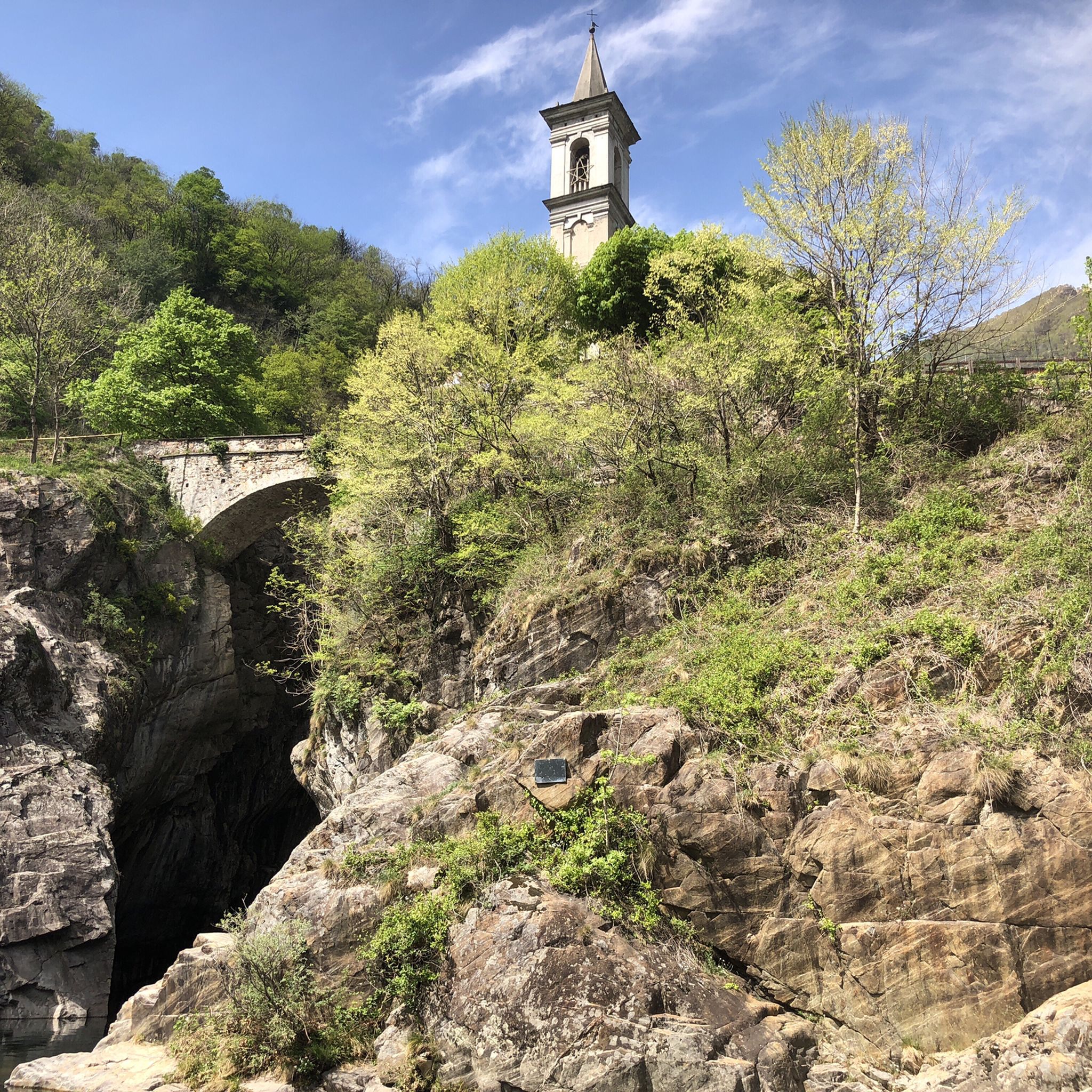
Dancing Bridge by name and by nature. Very safe, however.
0
0
So there's no via ferrata to be seen anywhere, except for the 1-meter chain that serves as a handrail when it's wet...
0
0
I hiked the route from Cannobio today. Breakfast in St. Agatha, then the church of St. Luca, Alpe Marcalone, and then up to the summit. The rocky, stepped climb is rewarded with a magnificent view. It's deeply relaxing. It's recommended to use hiking poles for support, though, as there are many loose stones and large steps. It was almost 1,100 meters in elevation, and I'm 64.
1
0

Beautiful place and nature, fantastic view on Lake Maggiore, regular and very nice uphill path to the refuge.
0
0

It's definitely worth stopping by. The ham and cheese platters are delicious, and then you can enjoy the magnificent view. We cycled up on our mountain bikes; with battery support, it's manageable, but without it, it's quite challenging. At the beginning of April 2025, the hut was open from 11:30 a.m. to 4:30 p.m.
0
0

Capanna Al Legn is an Alpine refuge located at 1,802 meters above sea level on the slopes of Gridone, above Brissago, in the Canton of Ticino. Inaugurated in 1995, the modern structure is spread over three floors and offers 12 beds, a kitchen equipped with wood and gas stoves, hot and cold water, toilets and a shower. The hut is accessible all year round via paths that start from the Brissago mountains, with a travel time of about two hours. From its panoramic position, you can enjoy a breathtaking view of Lake Maggiore and the Brissago Islands. The use of a sleeping bag is mandatory, available on site at a cost of CHF 7. For information and reservations, you can contact the number +41 79 823 98 07.
2
1
Frequently Asked Questions
What kind of mountaineering routes can I find around Lake Delio?
The Lake Delio area offers a variety of mountaineering routes, primarily ranging from moderate to difficult. You'll find challenging alpine terrain with significant elevation gains, providing panoramic views of the surrounding peaks and Lake Maggiore. The landscape is characterized by forests and open alpine scenery, reflecting its glacial origin.
How many mountaineering routes are available in the Lake Delio region?
There are over a dozen mountaineering routes available around Lake Delio. These include 4 moderate routes and 10 difficult routes, catering to various experience levels within the mountaineering category.
Are there any circular mountaineering routes near Lake Delio?
Yes, several routes are circular. For example, the Monte Carza loop from Cannobio is a difficult 13.8 km route, and the Summit of Mount Gambarogno – Alpe di Neggia Pass (1,395 m) loop from Indemini is another challenging circular option covering 11.4 km.
What are the typical durations and elevation gains for mountaineering routes here?
Mountaineering routes around Lake Delio typically range from 5 to over 7 hours to complete. Elevation gains are significant, often exceeding 700 meters, with some routes like the Scesel loop from Cannobio involving over 1300 meters of ascent.
What are some notable viewpoints along the mountaineering routes?
Many routes offer breathtaking panoramic views. You can expect stunning vistas of Lake Maggiore and the surrounding alpine landscape. The Monte Limidario Summit (2,189 m) loop from San Bartolomeo, for instance, is specifically highlighted for its views of Lake Maggiore.
What is the best time of year for mountaineering around Lake Delio?
The region is best explored during seasons when the trails are clear of snow and ice, typically from late spring through early autumn. This allows for optimal conditions to enjoy the diverse hiking and trekking trails, which traverse woodlands, meadows, and higher alpine terrain.
Are there any family-friendly options for hiking or trekking near Lake Delio?
While the mountaineering routes are generally moderate to difficult, the broader area around Lake Delio offers a variety of hiking routes. There are options for relaxed walks suitable for all skill levels, typically up to 2 hours with about 300 meters of elevation gain, which would be more appropriate for families.
What do other mountaineers say about the routes in Lake Delio?
The routes in Lake Delio are highly rated by the komoot community, with an average score of 4.85 stars from more than 20 reviews. Mountaineers often praise the challenging alpine terrain, the rewarding panoramic views, and the diverse natural environment.
Is it possible to bring dogs on the mountaineering trails?
The region's natural environment is home to wildlife such as wild boars and roe deer. While specific regulations for dogs on mountaineering trails vary, it's generally advisable to keep dogs on a leash to protect local wildlife and ensure their safety on challenging terrain.
Are there any places to eat or stay near the mountaineering routes?
The region around Lake Delio, particularly in nearby towns like Cannobio or San Bartolomeo, offers various amenities. You can find cafes, pubs, and accommodation options to refuel and rest after your mountaineering adventures.
What kind of experience is required for the difficult routes?
The difficult routes, such as the Cruit – Al Legn Hut loop from San Bartolomeo, demand very good fitness, sure-footedness, sturdy shoes, and alpine experience. These trails often involve significant elevation changes and varied alpine terrain.
Most popular routes around Lake Delio

Get inspired with the komoot mobile app


Explore more
Browse the best Mountain Hikes & Routes in other regions.
