The best mountain hikes around Lake Sardegnana
4.7
(7)
46
hikers
4
hikes
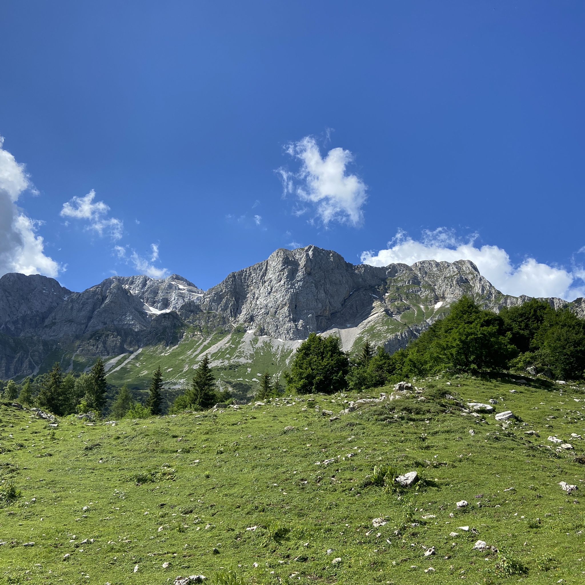
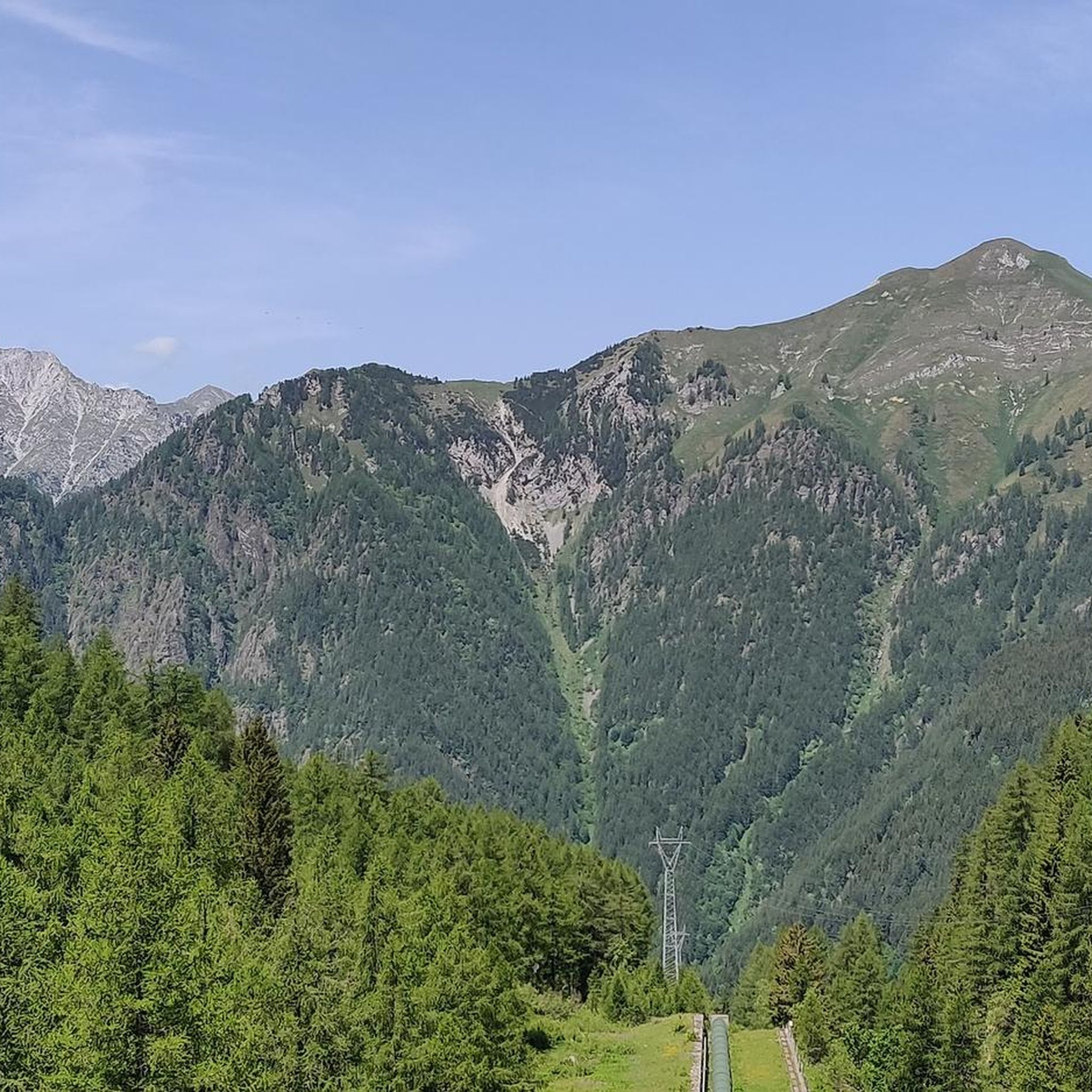
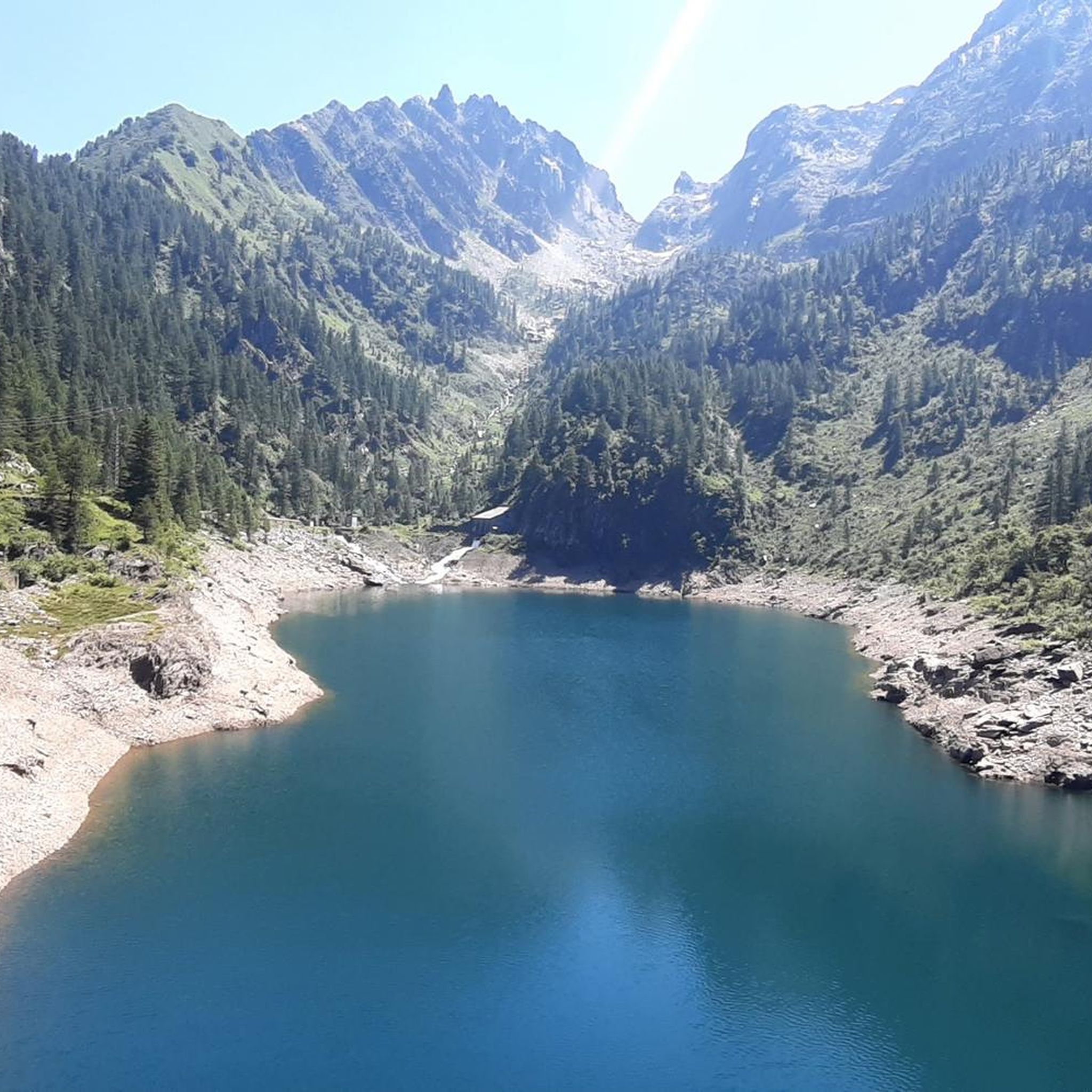
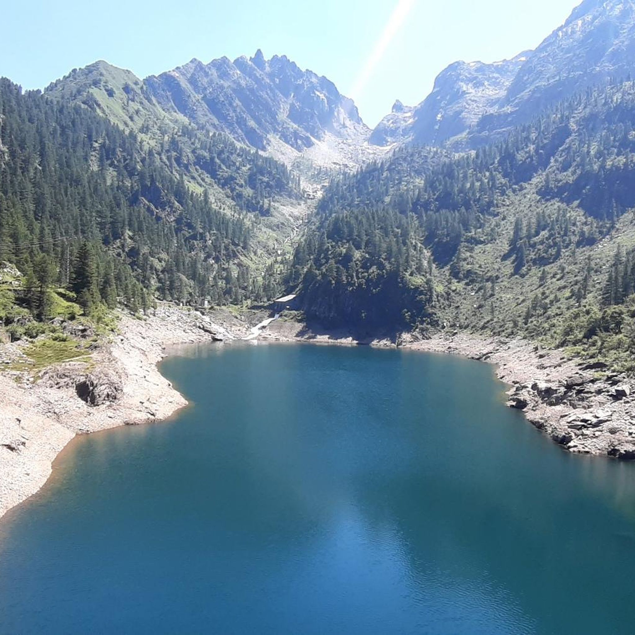
Mountaineering around Lake Sardegnana is centered in the Orobie Alps of Bergamo, Italy, at an elevation of 5,600 feet (1,738 meters). This alpine basin is surrounded by rugged peaks such as Pizzo del Becco and Corni di Sardegnana, with Montes Secco and Pegherolo visible from the artificial dam. The region features a challenging network of trails, including sections of the Sentiero delle Orobie, connecting various refuges and offering extensive trekking opportunities. The landscape is characterized by its high-altitude environment and…
Last updated: July 4, 2026
4.7
(3)
14
hikers
14.3km
06:18
1,000m
1,000m
Hard mountaineering route. Very good fitness required. Sure-footedness, sturdy shoes and alpine experience required.
3
hikers
11.5km
07:56
1,260m
1,260m
Hard mountaineering route. Very good fitness required. Sure-footedness, sturdy shoes and alpine experience required.

Sign up for free
4.3
(3)
24
hikers
12.2km
07:06
1,300m
1,310m
Hard mountaineering route. Very good fitness required. Sure-footedness, sturdy shoes and alpine experience required.
Our route recommendations are based on thousands of hikes, rides, and runs completed by other people on komoot.
Start today with a free account
Your next adventure awaits.
Login or Signup
Tips from the Community

beautiful view and a nice place to pass through for many tours
1
0

Monte Madonnino is a peak in the Orobie Alps, 2,502 meters high, located on the natural border between Val Brembana and Val Seriana. It owes its name to the small statue of the Madonna placed on the summit, an exceptional panoramic point from which you can admire giants such as Pizzo del Diavolo di Tenda and Monte Rosa.
0
0

A 2300-meter peak offering a good view of the Bergamo Orobie mountains and, on a clear day, the Alps. Reachable from Zorzone via trail 234.
0
0

halfway along the circular route from Plassa on the Arera flower trail
1
1
arrival point halfway around the ring on the flower trail in Arera
1
0


Beautiful summit to reach with a very beautiful and challenging trek. The last piece on the crest on the slabs is always challenging and rewarding. It's a pity there is no summit book
1
0
If there is no space at the Beec car park, you can park in this paid car park which does not require a scratch card.
0
0
Frequently Asked Questions
What is the general difficulty level of mountaineering routes around Lake Sardegnana?
The mountaineering routes around Lake Sardegnana are predominantly challenging. Out of 16 routes, 15 are classified as difficult, with one moderate option. Many trails require good fitness, sure-footedness, sturdy shoes, and alpine experience due to the rugged terrain of the Orobie Alps.
Are there any routes that feature waterfalls or historic villages?
Yes, the route Pagliari Historic Village – Val Sambuzza Waterfall loop from Carona is a difficult 20.5 km trail that takes you through a historic village and past the Val Sambuzza Waterfall, offering a scenic and culturally rich experience.
Are there any circular mountaineering routes in the Lake Sardegnana area?
Yes, several routes are circular. For example, the Laghi Gemelli loop from Bar Ötzi is a moderate 8.9 km circular trail that explores the alpine landscape around the Twin Lakes. Another option is the challenging Rifugio Gemelli loop from Carona, which provides access to the renowned Rifugio Laghi Gemelli.
What notable landmarks or natural features can be seen along the mountaineering routes?
From the lake's dam, you can admire the majestic peaks of Pizzo del Becco and Corni di Sardegnana, along with the distant Secco and Pegherolo mountains. Many routes connect to other significant natural features like Lago Marcio and the larger Laghi Gemelli. The area is also part of the Sentiero delle Orobie, linking various refuges like Rifugio Laghi Gemelli and Fratelli Calvi refuge.
What do other mountaineers say about the routes around Lake Sardegnana?
The routes around Lake Sardegnana are highly rated by the komoot community, with an average score of 4.7 stars from over 25 reviews. Mountaineers often praise the rugged peaks, pristine alpine environments, and the extensive trail network that offers diverse challenges.
Are there any mountaineering routes that lead to mountain huts or refuges?
Yes, the Rifugio Gemelli loop from Carona is a popular route that leads to the Rifugio Laghi Gemelli. Another challenging option is the Pizzo Arera (2,512 m) – Capanna 2000 Mountain Hut loop from Bar Ötzi, which includes a visit to Capanna 2000.
What is the best time of year to go mountaineering around Lake Sardegnana?
The Orobie Alps, where Lake Sardegnana is located, are best for mountaineering during the warmer months, typically from late spring to early autumn (June to September). During this period, snow has usually melted from higher elevations, and weather conditions are more stable. Always check local weather forecasts and trail conditions before heading out.
Are there any routes that offer significant elevation gain for a challenging experience?
Many routes in the area feature significant elevation gain. For instance, the Pagliari Historic Village – Val Sambuzza Waterfall loop from Carona involves over 1200 meters of ascent. The Monte Cadelle – Dordona Pass loop from Foppolo also includes over 1000 meters of climbing, providing a demanding mountaineering experience.
What kind of terrain can I expect on the trails around Lake Sardegnana?
You can expect rugged alpine terrain characteristic of the Orobie Alps. Trails often involve rocky paths, significant elevation changes, and some sections may be exposed. For example, a section of the CAI 213 trail leading to Lake Sardegnana from the Gemelli-Sardegnana junction is described as "very airy" but secured with metal parapets, indicating demanding yet managed paths.
How many mountaineering routes are available in the Lake Sardegnana region?
There are 16 mountaineering routes available for exploration around Lake Sardegnana, catering to various levels of difficulty, though most are classified as difficult.
Are there any routes that explore multiple lakes in the region?
Yes, the region is known for its network of lakes. While not explicitly listed as a single route in the guide, the area is home to Lago Marcio, Laghi Gemelli, and Lake Sardegnana itself, with various trails connecting them. The "Tour of the seven lakes in Val Brembana" is a well-known concept in the broader region, suggesting opportunities to link multiple lake visits.
Most popular routes around Lake Sardegnana

Get inspired with the komoot mobile app


Explore more
Browse the best Mountain Hikes & Routes in other regions.
