The best walks and hikes around Büttikon
4.6
(3005)
18,912
hikers
773
hikes
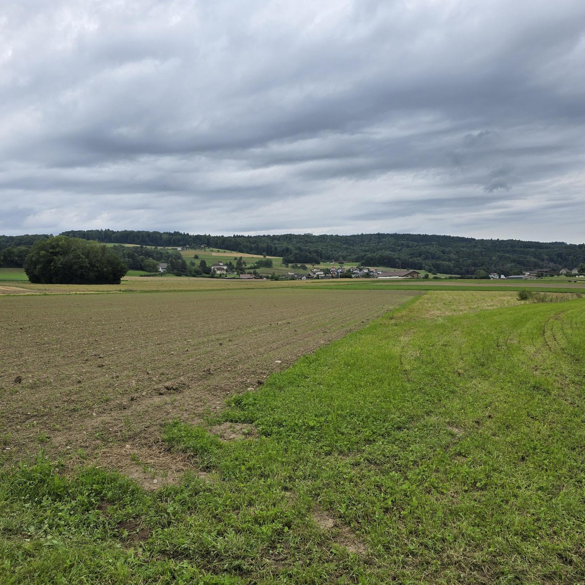
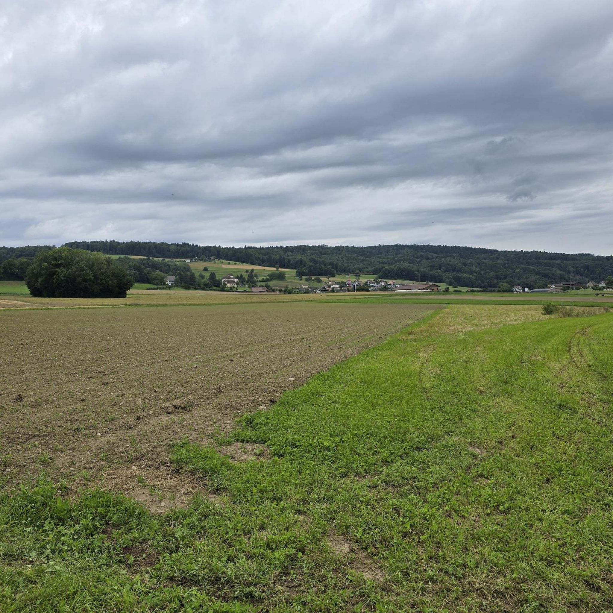
Hiking around Büttikon offers diverse terrain, characterized by significant forested land and expansive agricultural areas. The municipality is situated between two ridges off the Lindenberg, providing varied landscapes for exploration. Trails often wind through natural woodlands and open fields, with moderate elevation changes suitable for different fitness levels. The region also features nearby water bodies such as the Cholmoosweiher and Feldenmoos Ponds, enhancing the natural scenery of many routes.
Best hiking trails around Büttikon
- The most popular hiking route is…
Last updated: June 27, 2026
4.4
(7)
43
hikers
11.9km
03:13
150m
150m
Moderate hike. Good fitness required. Easily-accessible paths. Suitable for all skill levels.
4.6
(16)
33
hikers
Easy hike. Great for any fitness level. Easily-accessible paths. Suitable for all skill levels.

Sign up for free
4.3
(7)
26
hikers
8.14km
02:14
140m
130m
Moderate hike. Good fitness required. Easily-accessible paths. Suitable for all skill levels.
5.0
(1)
6
hikers
Easy hike. Great for any fitness level. Easily-accessible paths. Suitable for all skill levels.
5.0
(4)
10
hikers
Moderate hike. Good fitness required. Easily-accessible paths. Suitable for all skill levels.
Get access to more routes and recommendations from other explorers.
Sign up for free
Already have an account?
Our route recommendations are based on thousands of hikes, rides, and runs completed by other people on komoot.
Start today with a free account
Your next adventure awaits.
Login or Signup

Tips from the Community

Many lovingly designed sculptures line the path. Each sculpture represents a different legend.
0
0
Many lovingly designed sculptures line the path. Each sculpture represents a different legend.
0
0

For each of the sculptures shown, there is a legend that can be read on a sign. Amazing and unknown fairy tales.
1
0

It's always nice to visit the ponds, and this one is no exception. Enjoy the peace and beauty of nature.
1
0

Wonderful nature and tranquility
1
0
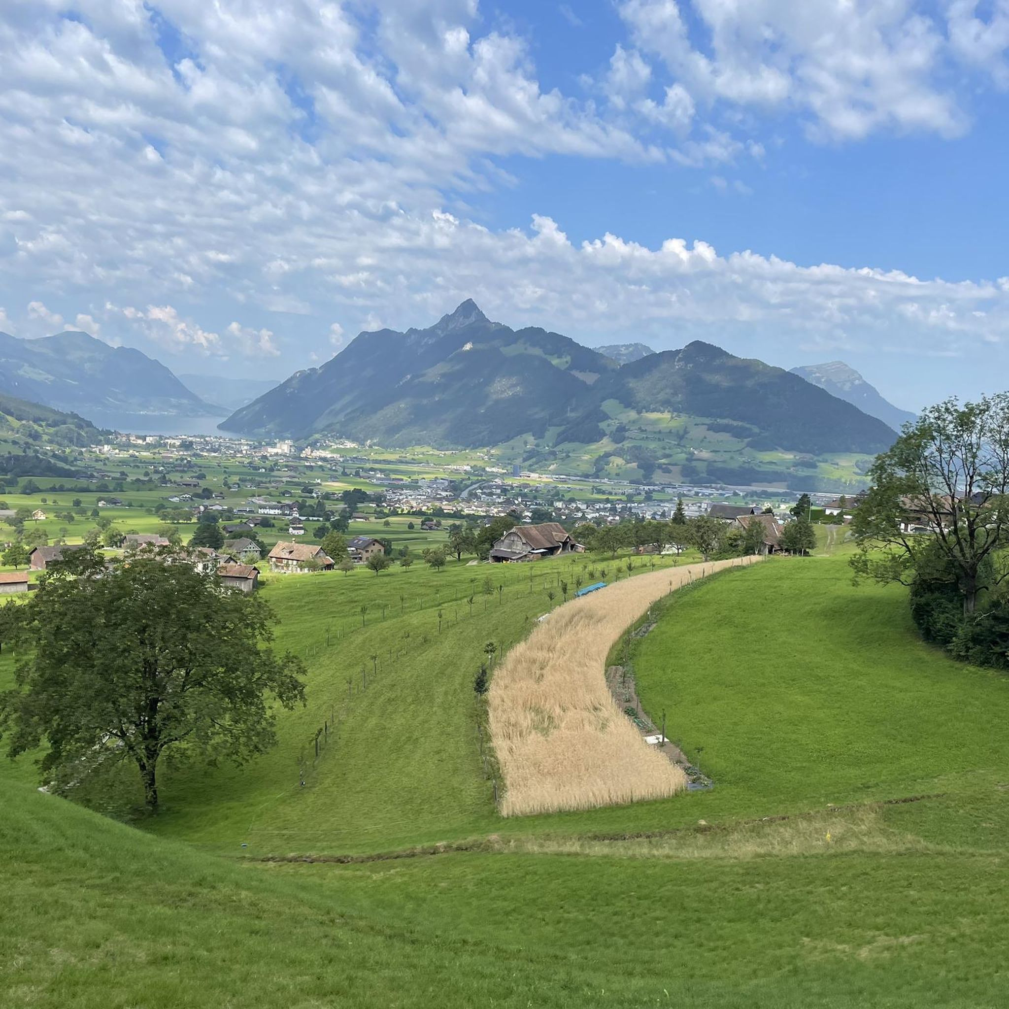
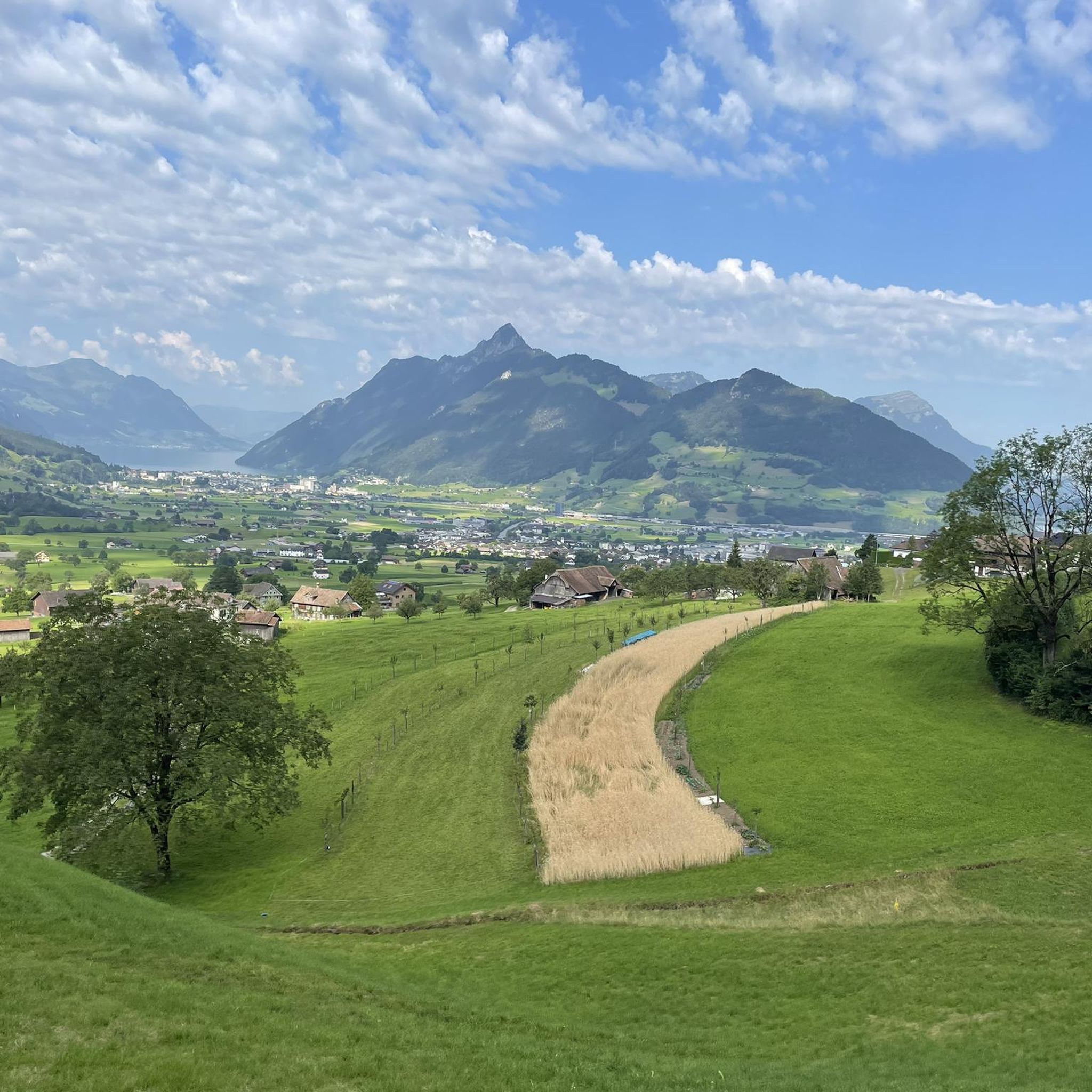
Beautiful area in the Mittelland with intact nature
0
0


The sculptor Bertha Shortiss created the sculpture "The Devil on the Isenburg" from a large stone slab made of Mägenwil shell sandstone. It is 2.4 meters high and has a small slot in the middle that takes the viewer into the familiar situation of an ATM. On one side there is a female figure, on the other side the devil, but in such a way that neither figure can see the other.
0
0
Frequently Asked Questions
How many hiking trails are available around Büttikon?
Büttikon offers a wide selection of hiking trails, with over 790 routes to explore. These range from easy walks to more challenging moderate hikes, catering to various fitness levels.
What kind of landscapes can I expect to see while hiking near Büttikon?
The region around Büttikon is characterized by diverse landscapes, including extensive forested areas (about 33.6%) and vast agricultural lands (about 56.5%). You'll find trails winding through peaceful woodlands, open fields with expansive views, and routes along gentle ridges. Many paths also feature picturesque water bodies like the Cholmoosweiher and Feldenmoos Ponds.
Are there any easy or family-friendly hikes in Büttikon?
Yes, Büttikon has many easy trails suitable for families and beginners. Nearly 500 routes are classified as easy. An example is the The Devil on the Isenburg – Legend Trail Aargau loop from Bezirk Bremgarten, which is about 5.6 km long and takes around 1 hour 30 minutes, offering an accessible path through local folklore.
What do other hikers enjoy most about hiking in Büttikon?
The hiking trails around Büttikon are highly rated by the komoot community, with an average score of 4.6 stars from over 2,700 reviews. Hikers often praise the blend of dense woodlands and open agricultural fields, the well-maintained paths, and the varied terrain that offers something for everyone, from leisurely strolls to more active excursions.
Are there any circular hiking routes around Büttikon?
Yes, many of the trails around Büttikon are designed as circular routes, allowing you to start and end at the same point. For instance, the Erdmannlistein – Cholmoosweiher loop from Bezirk Bremgarten is a popular moderate circular trail that passes by the scenic Cholmoosweiher pond.
Can I find trails with waterfalls near Büttikon?
Yes, the broader region around Büttikon features several beautiful waterfalls. You can explore highlights such as the Waterfall on the Chräenbach or the Tägerig Waterfalls, which offer picturesque natural sights along your hike.
Are there any interesting natural landmarks or caves to explore?
Beyond the trails, the area offers unique natural landmarks. You can visit the Liebeggerwald Sandstone Caves or the Sandstone Caves with Barbecue Area for an interesting geological experience. The Mägenwil Quarry is another notable site.
What is the best time of year to go hiking in Büttikon?
Büttikon is enjoyable for hiking throughout much of the year. Spring and autumn offer pleasant temperatures and vibrant scenery with blooming flowers or colorful foliage. Summer provides warm weather for shaded forest paths, while winter can transform the landscape into a serene, snowy wonderland, though some trails might require appropriate gear.
Are there any hikes that combine nature with local legends or history?
Yes, you can find trails that weave in local folklore. The Erdmannlistein – The Devil on the Isenburg loop from Bezirk Bremgarten is an easy 6.3 km path that incorporates a local legend trail, offering a unique blend of natural exploration and cultural storytelling.
What are some longer or more challenging routes available?
For those seeking a moderate challenge, there are nearly 300 routes available. The Erdmannlistein – Freiämter Legends Trail loop from Bezirk Bremgarten is a moderate 8.7 km route that takes approximately 2 hours 20 minutes, offering a rewarding experience with varied terrain.
Are there any trails that pass by lakes or ponds?
Yes, many routes in the Büttikon area feature scenic ponds. The View of the Fischweiher Pond – Feldenmoos Ponds loop from Boswil is a popular 8.1 km trail that leads through areas with picturesque ponds, perfect for enjoying tranquil water views.
Most popular attractions around Büttikon

Get inspired with the komoot mobile app


Explore more
Browse the best Hikes in other regions.
