The best road cycling routes around Lake Cingino
4.8
(5)
233
riders
1
ride
Road cycling around Lake Cingino is characterized by a demanding alpine environment, with elevations typically around 7,382 ft (2,250 m) above sea level. The region features dramatic mountain landscapes, deep valleys, and diverse terrain including larch forests. Road cycling routes in this area often involve significant elevation gains, providing challenging rides for experienced cyclists. The Cingino Dam is a notable feature, known for the Alpine ibex that scale its walls.
Best road cycling routes around Lake Cingino
- The most popular…
Last updated: July 4, 2026
7
riders
142km
07:31
2,570m
2,570m
Hard road ride. Very good fitness required. Mostly well-paved surfaces and easy to ride.
7
riders
58.0km
03:08
1,090m
1,090m
Hard road ride. Very good fitness required. Some segments of this route may be unpaved and difficult to ride.

Sign up for free
5.0
(2)
84
riders
79.1km
04:06
1,310m
1,310m
Hard road ride. Very good fitness required. Some segments of this route may be unpaved and difficult to ride.
4.7
(3)
59
riders
82.9km
04:18
1,410m
1,410m
Hard road ride. Very good fitness required. Mostly well-paved surfaces and easy to ride.
56
riders
42.7km
02:32
1,070m
1,070m
Hard road ride. Very good fitness required. Mostly well-paved surfaces and easy to ride.
Our route recommendations are based on thousands of hikes, rides, and runs completed by other people on komoot.
Start today with a free account
Your next adventure awaits.
Login or Signup
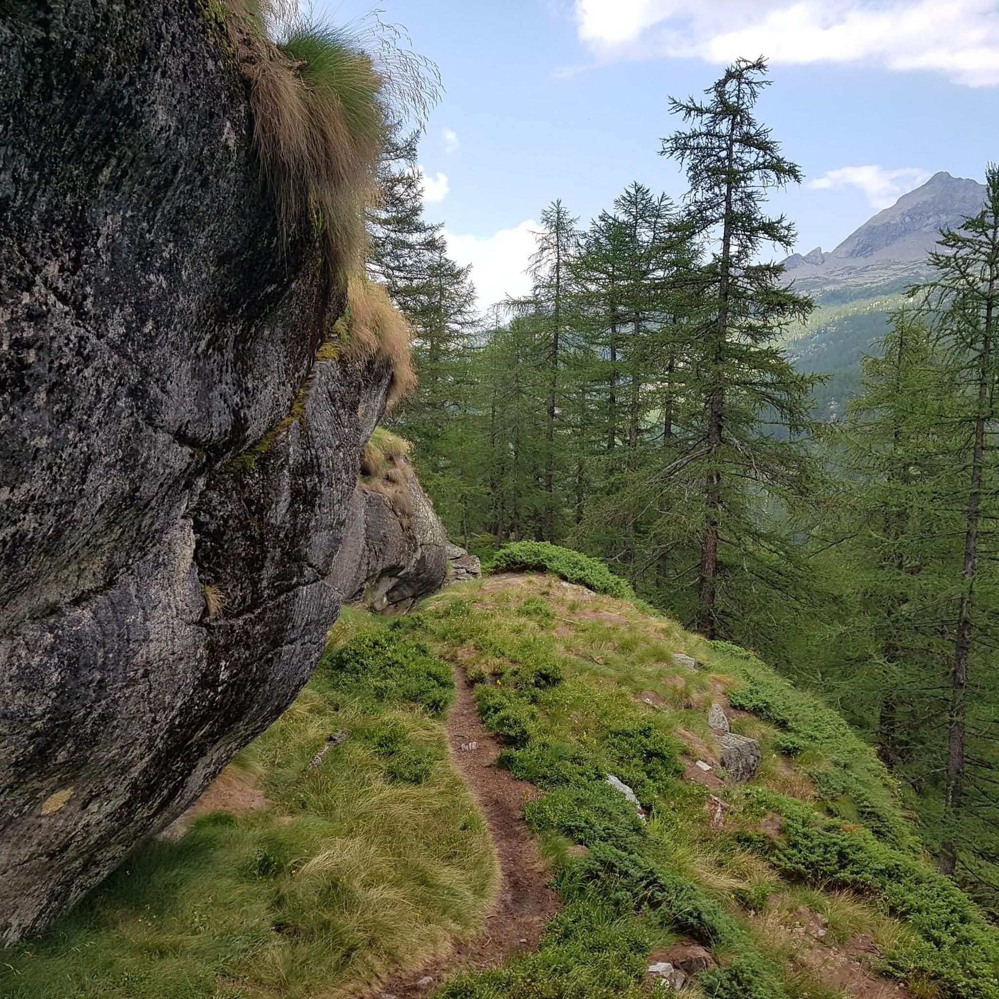
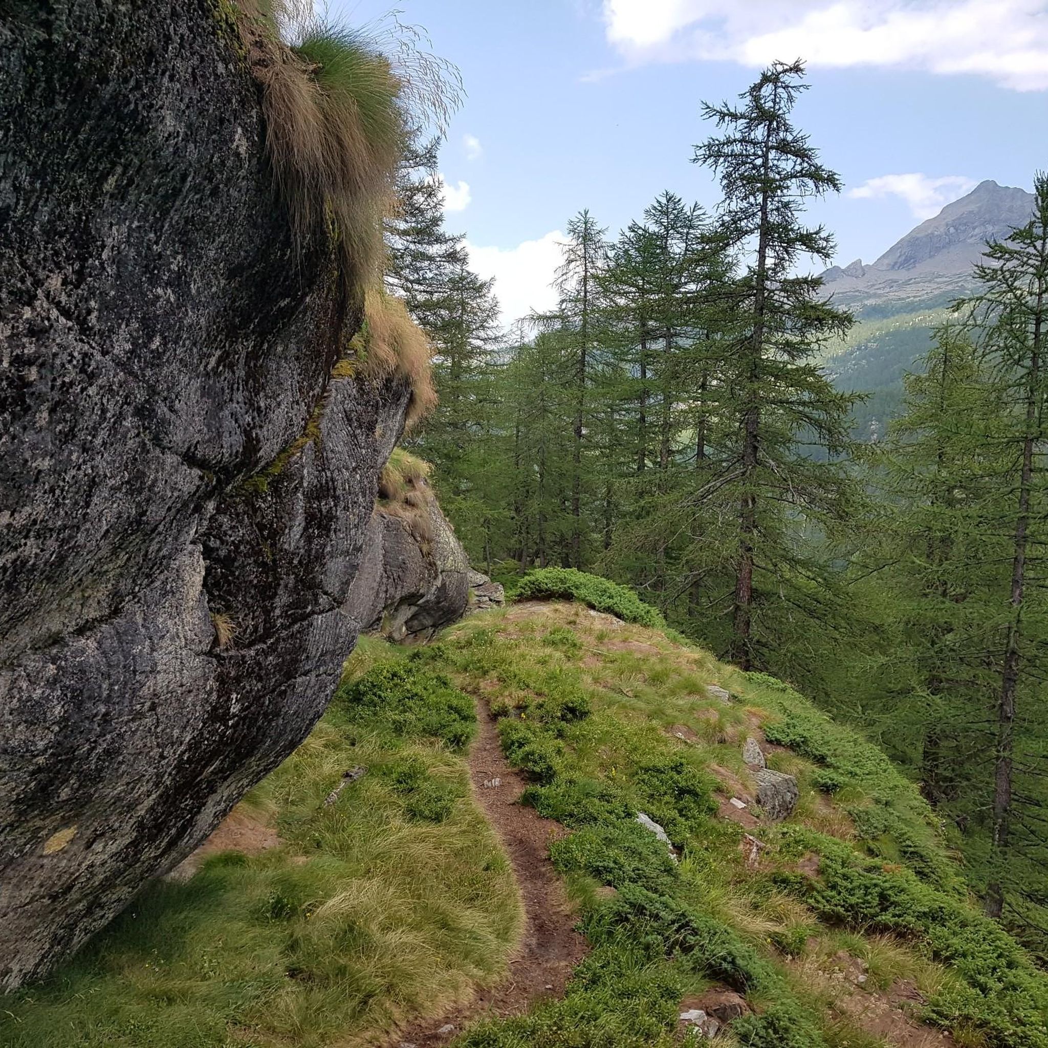
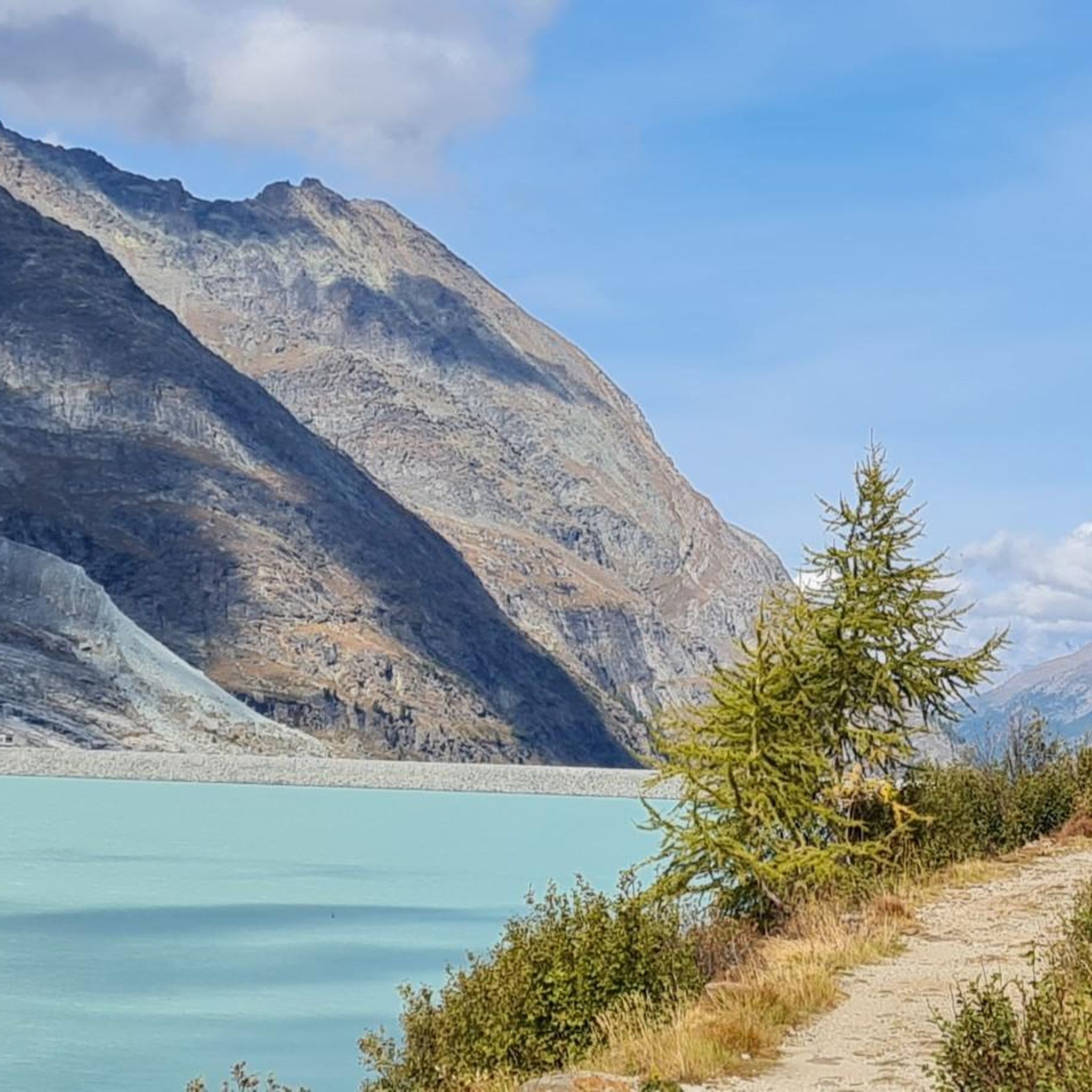
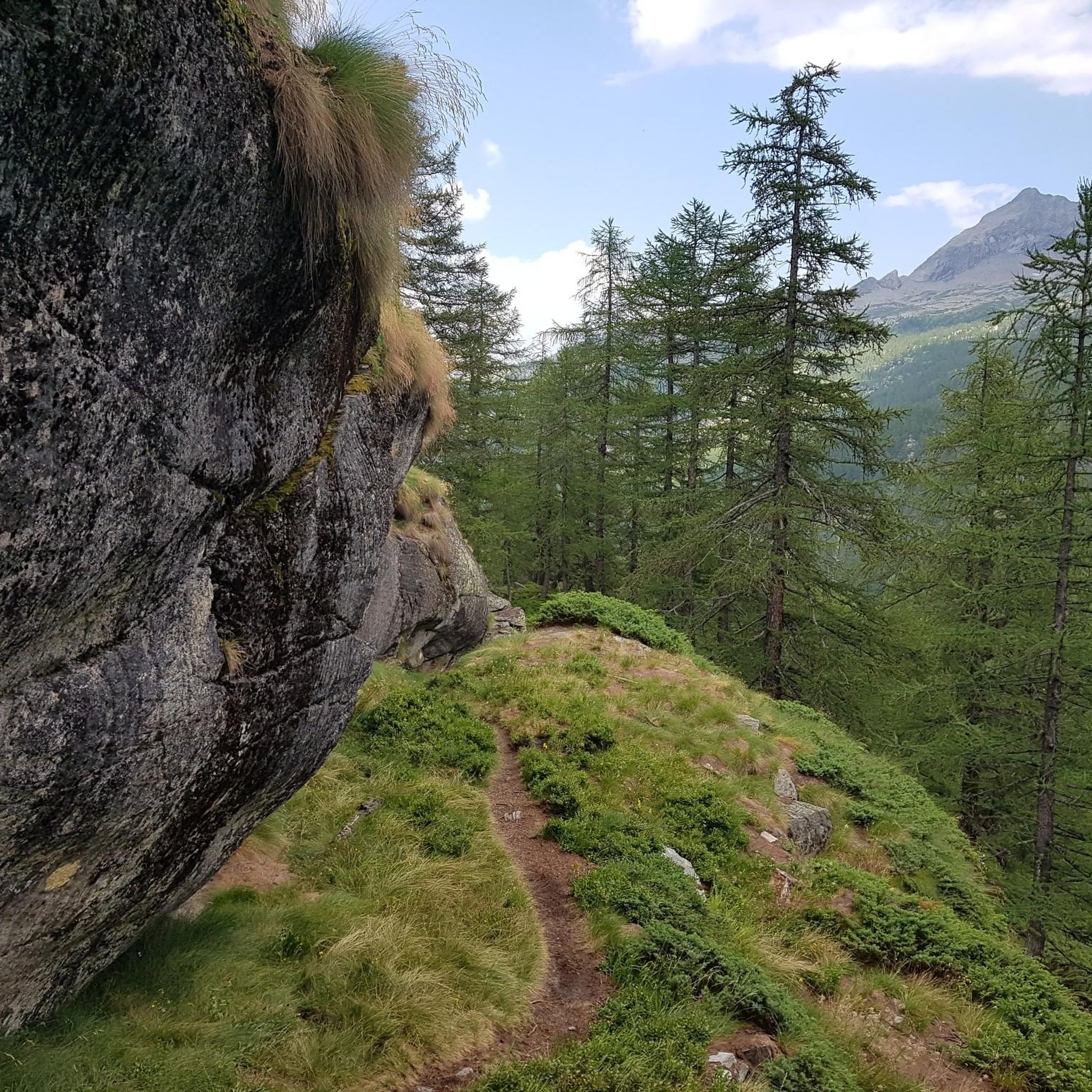
Tips from the Community


Not easy but beautiful
0
0

here is the port to cross the lake
1
0
a bit of traffic but good road surface
0
0

Beautiful and simple walk (460 m altitude difference) from Colloro to Capraga (963 m), in the Valgrande National Park, with the possibility of doing a short circular tour from the church of San Bernardo to Capraga and back.
0
0

The city of Roman origin lies on the Toce in the center of the Val Ossolane (Ossola Valley) on the route from the Simplon Pass to Lake Maggiore, in a valley widening into which various side valleys flow, on a large alluvial fan that the Bogna, the right tributary of the Toce, has created here. Today, Domodossola has 17,684 inhabitants (as of December 31, 2022). As the (formerly) largest Italian city whose name begins with "D", Domodossola is used in Italian spelling tables for this letter ("D come Domodossola"). Source: https://de.wikipedia.org/wiki/Domodossola In addition to the weekly market on Saturday, the Sacro Monte di Domodossola is particularly worth visiting. It is part of the Sacri Monti. The Sacri Monti in Piedmont and Lombardy have been part of the UNESCO World Heritage Site in northern Italy since 2003. Finally, you should enjoy the Italian flair in the town. In summer, be sure to eat an ice cream or stop off at a café or pizzeria, it's worth it.
3
0

Baveno is a municipality on the western shore of Lake Maggiore
6
0
Cozy town with a small old town. Value for money is absolutely fine.
2
0
Frequently Asked Questions
How challenging is road cycling around Lake Cingino?
Road cycling around Lake Cingino is generally demanding, characterized by significant elevation changes and alpine-style ascents. The region is situated at high elevations, typically around 7,382 ft (2,250 m) above sea level, making routes suitable for cyclists with good to very good fitness. For example, the route Monte Mottarone and Omegna on Lake d'Orta from Macugnaga is classified as difficult, covering 88.5 miles (142.5 km) with over 2,500 meters of elevation gain.
What natural features and attractions can I see while road cycling near Lake Cingino?
The region offers stunning alpine scenery, deep valleys, and larch forests. A unique attraction is the Cingino Dam itself, famous for the Alpine ibexes that scale its near-vertical walls to lick salt. You can learn more about this phenomenon on Atlas Obscura. The area is also part of a hydroelectric complex, and routes often pass through picturesque clearings and along crystal-clear torrents in the Antrona Valley.
When is the best time of year to go road cycling around Lake Cingino?
Given the high alpine environment and significant elevation, the best time for road cycling around Lake Cingino is typically during the warmer months, from late spring through early autumn. This period offers more favorable weather conditions and ensures mountain passes are clear of snow, providing access to the full network of routes.
Are there any family-friendly road cycling routes near Lake Cingino?
The immediate vicinity of Lake Cingino is known for its challenging, high-elevation routes, which are generally not considered family-friendly due to the steep climbs. However, the broader Italian-Swiss Lake District, which includes the Antrona Valley, offers a network of cycling routes. While specific easy, family-friendly road cycling routes directly to Lake Cingino are limited, you might find more suitable options in the lower parts of the Val d'Ossola or around other nearby lakes, which feature varied terrain including flatter sections and dedicated cycle paths.
Are there any circular road cycling routes in the Lake Cingino area?
Yes, there are circular road cycling options available. For instance, the Macugnaga – Macugnaga Village loop from Macugnaga is a challenging 26.5-mile (42.7 km) route that allows you to explore the alpine villages and scenery of the valley in a loop.
Where can I find parking for road cycling routes around Lake Cingino?
For routes starting from towns like Macugnaga or other villages in the Antrona Valley, you can typically find public parking areas. It's advisable to check local signage for specific parking regulations and availability, especially during peak seasons. Many routes, such as those originating from Macugnaga, will have designated parking facilities nearby.
Is public transport available to reach the road cycling routes near Lake Cingino?
Public transport options, such as bus services, are available in the broader Antrona Valley, connecting towns like Antrona Schieranco and potentially reaching areas closer to the starting points of some routes. For example, bus services operate in the Valle Antrona towards locations like Campliccioli Dam. It's recommended to check local bus schedules for specific routes and timings to plan your journey.
What gear should I bring for road cycling in the Lake Cingino region?
Given the demanding alpine environment, significant elevation changes, and potential for varied weather, it's crucial to be well-prepared. Essential gear includes a well-maintained road bike with appropriate gearing for climbs, a helmet, suitable cycling apparel (layers are recommended), rain gear, nutrition and hydration, a repair kit, and navigation tools. Due to the high altitude, sun protection is also important.
Are there places to eat or stay near the road cycling routes?
Yes, towns and villages in the Antrona Valley, such as Macugnaga and Antrona Schieranco, offer various amenities including cafes, restaurants, and accommodation options. These can serve as convenient bases or refreshment stops during your road cycling adventures. For longer tours, the Bivacco Cingino also offers a potential stop for multi-day excursions.
What do other road cyclists say about the routes around Lake Cingino?
The road cycling routes around Lake Cingino are highly rated by the komoot community, with an average score of 4.75 stars from over 4 reviews. Cyclists often praise the dramatic mountain landscapes, challenging climbs, and the unique experience of cycling in such a high alpine environment. Over 200 road cyclists have used komoot to explore the varied terrain here.
Can you recommend a challenging road cycling tour in the area?
For a significant challenge, consider the route From Macugnaga to Domodossola in the Val d'Ossola. This difficult trail spans 51.5 miles (82.9 km) with over 1,400 meters of elevation gain, leading through the scenic Val d'Ossola and typically taking around 4 hours and 18 minutes to complete.
Are there any permit requirements for road cycling around Lake Cingino?
Generally, there are no specific permit requirements for road cycling on public roads in the Lake Cingino area. However, always respect local regulations, especially if routes pass through protected areas or private land. It's always a good practice to check for any specific local rules or temporary restrictions before your ride.
Most popular routes around Lake Cingino

Get inspired with the komoot mobile app


Explore more
Browse the best Road cycling routes in other regions.
