The best cycling routes around Griessee
4.5
(203)
3,791
riders
30
rides
Touring cycling routes around Griessee are characterized by dramatic Alpine landscapes and significant elevation changes. The region features high-altitude passes, rugged terrain, and views of glaciers and reservoirs. Cycling paths often follow paved, narrow roads that ascend to elevations above 7,800 feet (2,386 meters). This area is part of the Valais region, known for its challenging mountain environments.
Best touring cycling routes around Griessee
- The most popular touring cycling route is View of Gries Glacier – Cioss Prato Crystal Cave…
Last updated: October 14, 2026
4.0
(2)
32
riders
23.9km
02:08
930m
930m
Hard bike ride. Very good fitness required. Mostly paved surfaces. Suitable for all skill levels.
7
riders
5.63km
00:30
120m
120m
Easy bike ride. Great for any fitness level. Mostly paved surfaces. Suitable for all skill levels.

37
riders
17.9km
01:56
590m
590m
Cycle the difficult 11.1-mile Riale - San Giacomo Pass Trail, gaining 1946 feet with panoramic alpine views and lake crossings.
44
riders
15.4km
01:43
530m
530m
Hard bike ride. Very good fitness required. Mostly paved surfaces. Suitable for all skill levels.
3.5
(2)
29
riders
23.2km
02:25
760m
760m
Hard bike ride. Very good fitness required. Mostly paved surfaces. Suitable for all skill levels.
Get access to more routes and recommendations from other explorers.
Already have an account?
Our route recommendations are based on thousands of hikes, rides, and runs completed by other people on komoot.
Start today with a free account
Your next adventure awaits.

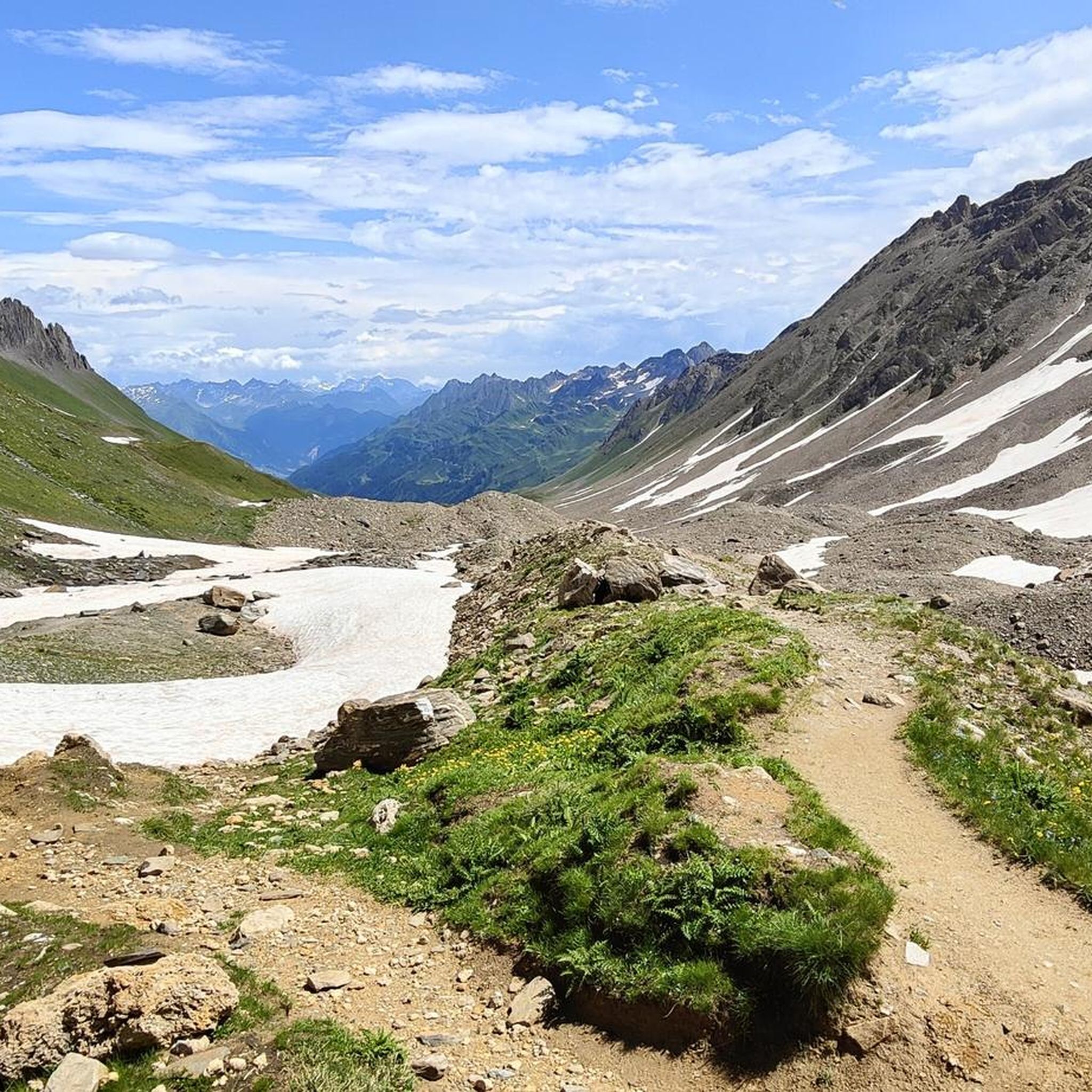
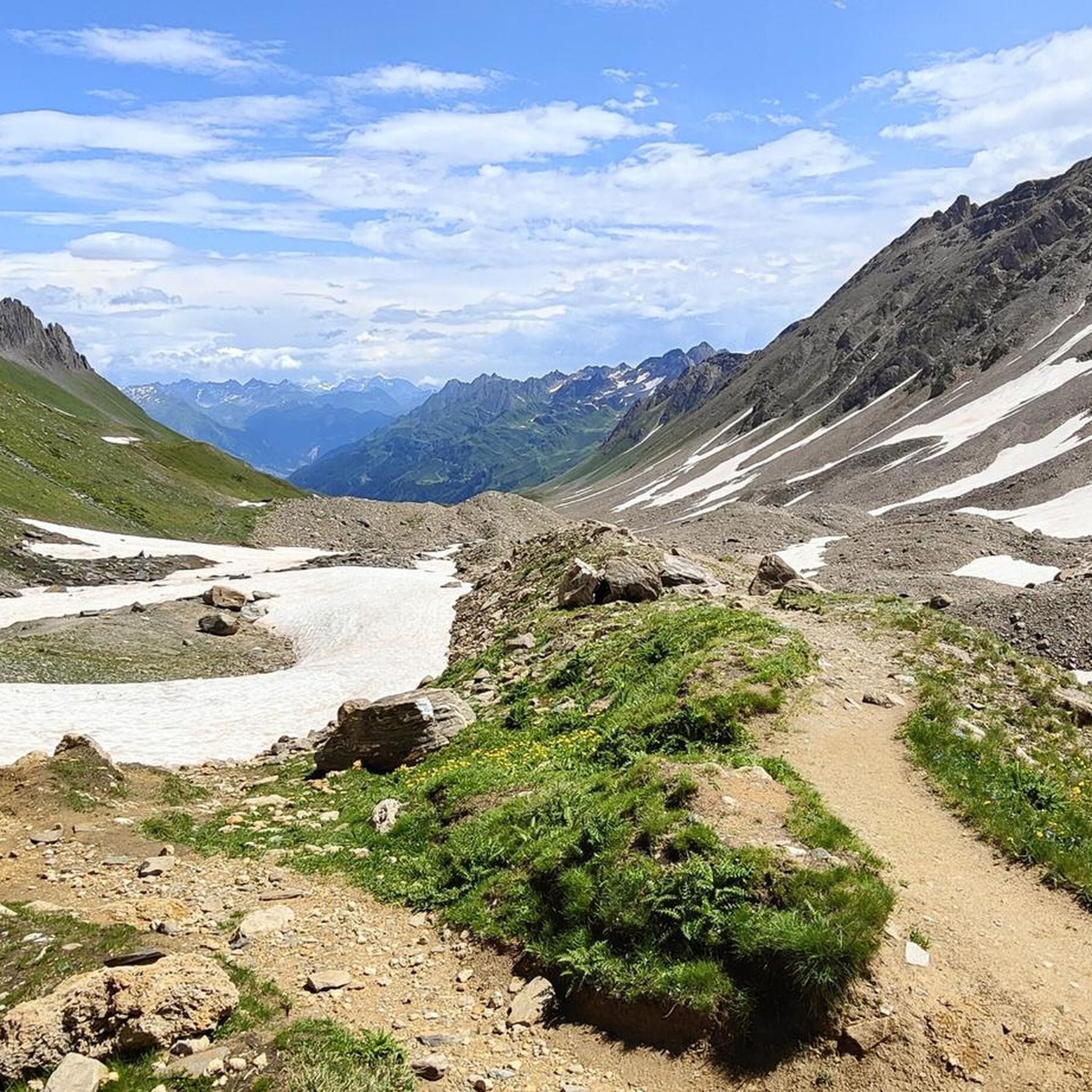
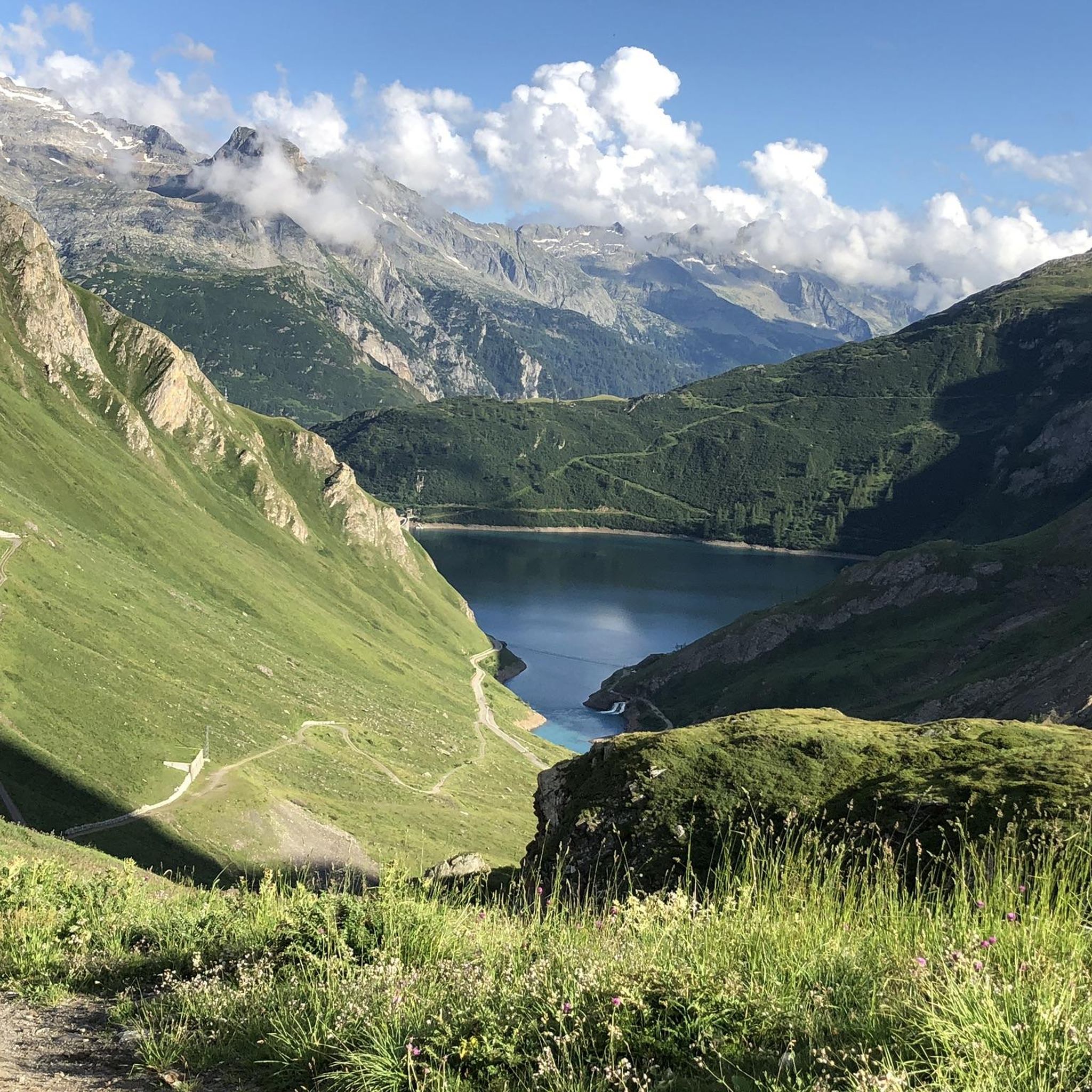

Tips from the Community

Refuge in Val Formazza at an altitude of 2150m above sea level
0
0
Artificial lake in Val Formazza at an altitude of 2200m
0
0

steep path very scenic, in the morning in the shade
0
0

Unfortunately, the opening hours on the website are not correct. Please check locally during the off-season.
0
0

At 2,478 meters above sea level, the Nufenen Pass (Nufenenpass in German) connects the Goms Valley in the upper Valais with the Bedretto Valley in the upper Ticino. From Airolo, the climb is approximately 22 kilometers (average gradient 5.6%), while from Ulrichen it is shorter but more challenging: 14 kilometers at an average gradient of approximately 7.9%.
0
0


A few minutes from the Maria Luisa refuge...not to be missed, on a road suitable for vehicles
0
0

the fairytale village 🏘️ of Riale🏔️
1
0
Frequently Asked Questions
How many touring cycling routes are available around Griessee?
There are over 35 touring cycling routes available around Griessee, offering a wide range of options for different skill levels and preferences.
What are the typical difficulty levels for touring cycling routes in the Griessee area?
The Griessee region is known for its challenging Alpine terrain. You'll find a mix of routes, with 9 easy, 7 moderate, and 19 difficult routes. Many routes involve significant elevation changes and high-altitude passes.
Are there any easier touring cycling routes suitable for beginners around Griessee?
Yes, there are easier options available. For instance, the Lake Morasco – Morasco Lake loop from Toce Falls is an easy 3.6 miles (5.8 km) path that circles Lake Morasco, providing scenic views without extreme climbs.
What kind of landscapes and natural features can I expect to see while cycling around Griessee?
The Griessee area offers dramatic Alpine landscapes, including views of the Gries Glacier, rugged mountain terrain, and the turquoise waters of the Griessee reservoir. You'll also encounter high-altitude passes like the Nufenen Pass, known for its challenging twists and turns.
Are there any specific landmarks or points of interest along the touring cycling routes near Griessee?
Yes, beyond the stunning natural beauty, you can see the impressive Gries Dam, an engineering marvel in the high Alps. The area also features the highest-located wind turbines in Europe near the Griessee and Nufenen Pass, offering a distinctive modern contrast to the ancient mountain landscape. You might also catch glimpses of the Gries Glacier, the primary source of the lake.
What is the best time of year to go touring cycling in the Griessee region?
Due to its high altitude, the Griessee region is best for touring cycling during the warmer months, typically from late spring to early autumn. Even in summer, some high-altitude sections can present treacherous conditions with ice and snow. Always check local weather and road conditions before heading out.
Are there any circular touring cycling routes around Griessee?
Yes, many routes in the Griessee area are designed as loops. An example is the View of Gries Glacier – Cioss Prato Crystal Cave loop from Ponte / Zum Schtäg, which offers a challenging circular experience with glacier views.
Can I find family-friendly touring cycling routes in the Griessee area?
While many routes are challenging, some easier, shorter loops around lakes, such as the Lake Morasco – Morasco Lake loop from Toce Falls, could be suitable for families with older children or those looking for a less strenuous ride. Always check the route's difficulty and elevation profile to ensure it matches your family's ability.
Is it possible to access the touring cycling routes around Griessee using public transport?
Access to the high-alpine Griessee area by public transport can be limited, especially to the highest points. It's advisable to research specific bus routes or train connections to nearby towns in the Valais region, such as those in the Goms valley, and plan your cycling trip from there. Some passes might have seasonal bus services.
Where can I park my car when planning a touring cycling trip to Griessee?
Parking is typically available at the base of major passes or near popular starting points for routes. For example, areas around the Nufenen Pass or in villages like Riale, which serve as access points to routes like Lago Toggia, Kastel and Morasco from Riale, often have designated parking. Always check local signage for parking regulations and fees.
What do other cyclists say about their experience touring cycling in Griessee?
The touring cycling routes around Griessee are highly rated by the komoot community, with an average score of 4.7 stars from over 160 reviews. Cyclists often praise the dramatic Alpine scenery, the challenging climbs, and the unique experience of cycling at such high altitudes.
Are there any facilities like cafes or accommodation near the Griessee cycling routes?
Given the high-alpine and remote nature of the Griessee area, facilities like cafes and accommodation are sparse directly at the lake. You are more likely to find services in the valleys and at the base of major passes, such as the Nufenen Pass, or in nearby villages in the Goms region. It's recommended to carry sufficient supplies for your ride.
What are the highest elevations reached on touring cycling routes around Griessee?
Touring cycling routes in the Griessee area frequently reach significant elevations. The Griessee itself is at 2,386 meters (7,828 ft) above sea level, and the Nufenen Pass, a common starting point or part of routes, is even higher at 2,478 meters (8,130 ft). Expect substantial climbs and descents on most routes.
Most popular routes around Griessee

Get inspired with the komoot mobile app


Explore more
Browse the best Cycling routes in other regions.
