The best road cycling routes around Killybracken
783
riders
114
rides
Road cycling routes around Killybracken are characterized by rolling hills, green valleys, and a network of quiet rural roads. The terrain features moderate elevations, with no peaks exceeding 200 meters, offering varied yet manageable challenges for cyclists. The area provides a mix of open countryside and occasional wooded sections, contributing to diverse cycling experiences. These well-paved routes connect local villages and offer expansive views across agricultural land.
Best road cycling routes around Killybracken
- The most popular road cycling route is…
Last updated: July 11, 2026
5
riders
61.2km
02:39
520m
520m
Moderate road ride. Good fitness required. Mostly well-paved surfaces and easy to ride.
35.1km
01:35
270m
270m
Easy road ride. Great for any fitness level. Mostly well-paved surfaces and easy to ride.

Sign up for free
21
riders
92.6km
03:55
700m
700m
Moderate road ride. Good fitness required. Mostly well-paved surfaces and easy to ride.
12
riders
68.7km
02:55
410m
410m
Moderate road ride. Good fitness required. Mostly well-paved surfaces and easy to ride.
16
riders
45.1km
02:11
420m
420m
Moderate road ride. Good fitness required. Mostly well-paved surfaces and easy to ride.
Get access to more routes and recommendations from other explorers.
Sign up for free
Already have an account?
Our route recommendations are based on thousands of hikes, rides, and runs completed by other people on komoot.
Start today with a free account
Your next adventure awaits.
Login or Signup
Popular around Killybracken


Tips from the Community

For cyclists following the 'Lough Neagh Cycle Way' (National Cycle Route 94), the Maghery footbridge is an iconic resting point and an essential link. This elegant, modern bridge spans the mouth of the Upper Bann as it enters the lough.
8
0

The Maghery Footbridge on the edge of Lough Neagh offers a small moment of peace in the midst of the expansive landscape. As you cross the bridge, your gaze glides over the gentle waters of the largest lake in the British Isles. In good weather, the clouds are impressively reflected on the surface of the water, making the scene look almost like a painting. Even when the sky is cloudy, the lake has a special atmosphere that invites you to linger rather than to quickly pass by. The paths around the bridge are mostly flat, but you should be prepared for occasional sections with unpaved surfaces. This could be a bit slippery, especially in wet weather, but this is not a problem. The connection to the National Cycle Network, Route 94, also offers you many other opportunities to explore the area. A little tip: Maghery itself does not have much to offer apart from the bridge, but a short detour to the nearby Oxford Island nature reserve is definitely worth it. This means you can easily combine a visit to the bridge with a larger circular tour.
4
0
From the shore at Maghery, the view falls directly on Coney Island, which lies quietly in Lough Neagh. The rough waters of the lake, which are constantly in motion, create a special atmosphere that alternates between calm and turmoil. The cool breeze carries the scent of the wild vegetation on the shore, while the sound of the waves sets the tone for the moment. Coney Island itself seems almost untouched, a small spot in the vastness of the lake that seems to tell stories of times gone by. It may be tempting to imagine what it would be like to row there and explore the island. But from here it remains a place of longing in the distance - close enough to arouse curiosity, but far enough to keep a certain mystery. The view is impressive, but on stormy days you realize that nature can be rough here. Perhaps not the ideal place for a long rest, but a place that is worth a moment's pause before continuing on the path.
1
0
As you step through the magnificent gate, you will be enveloped by the timelessness of this historic place. The old walls, which shine in the sun, tell stories from times long past and invite you to discover them. The municipality has enriched this treasure trove of history with a library and a museum that attract knowledge seekers and history lovers. In the quiet rooms of the library you can leaf through old writings and be transported back to times gone by, while the museum brings the history of the place and its people to life. After a journey of discovery through history and culture, the Priorat's café beckons with its seductive scent of freshly brewed coffee. Here, in an ambience that wonderfully combines modernity and history, you can take a little time out. Choose from comfortable seating inside or settle on one of the terraces to soak up the rays while munching on delicious pastries. But the Priory has even more to offer. A dreamy little walkway winds from the building down to the river. A path lined with blooming flowers and old trees that acts as an invitation to explore this wonderful terrain in all its splendor.
2
0

Omagh is the county town of County Tyrone which plays host to a number of festivals and events throughout the year. A market town, there are plenty of places to stop to eat or drink and you can't fail to notice the twin spires of Sacred Heart Church.
2
0
As you pedal along the bike path tracing the Camowen River, keep an eye out for the water rushing over the weir.
0
0
Also known as Black Lough, it's unique habitat means it is a great place for bird watching with a number of rare species being seen. You're also likely to spot people course fishing for pike and perch. There are even eels in the water.
0
0
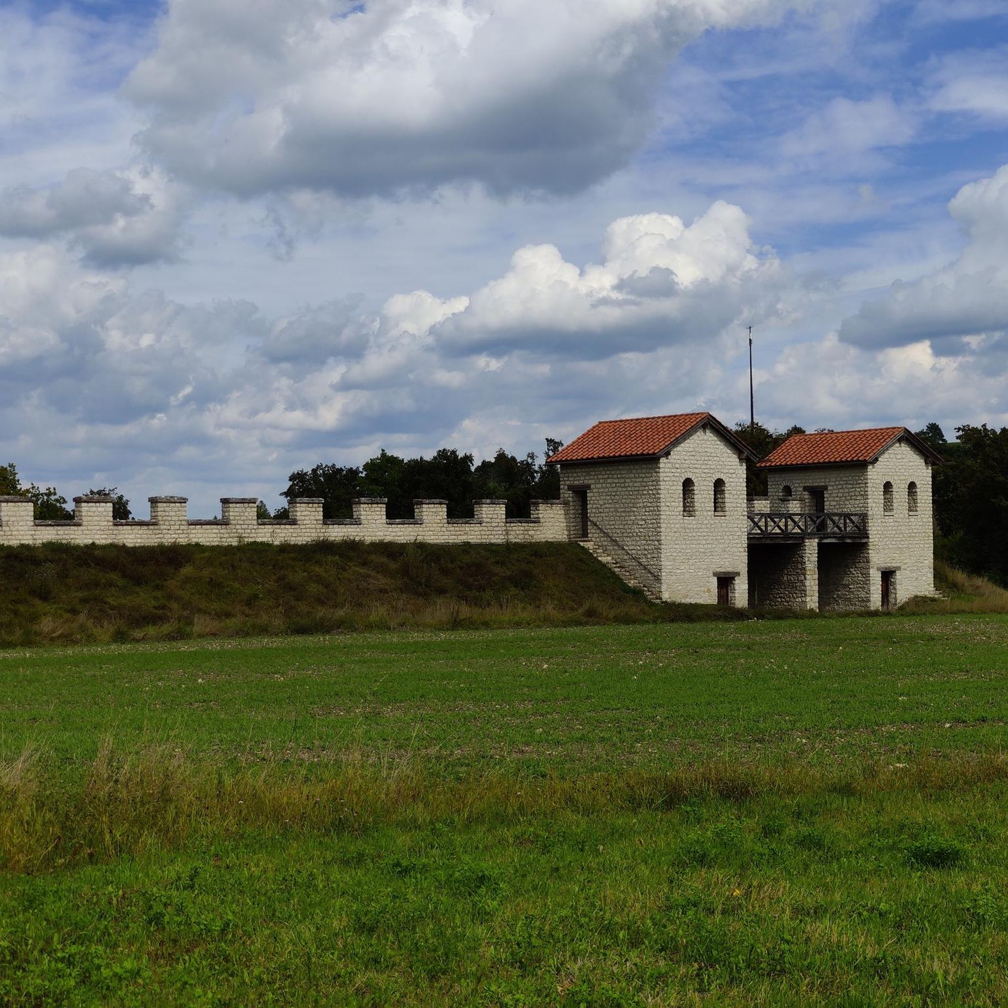
The O'Neills ruled the region for over 400 years and this was their seat of power for over 300. You can enjoy a guided tour and learn more about the history of Ulster and marvel at the views from the top, from where you can see all the way to the Sperrin Mountains, the Mournes and Lough Neagh. A fine view for the O'Neills over their land.
0
0
Frequently Asked Questions
How many road cycling routes are available around Killybracken?
There are over 120 road cycling routes around Killybracken, catering to various skill levels. You'll find 16 easy routes, 96 moderate routes, and 10 challenging routes for experienced cyclists.
What kind of terrain can I expect when road cycling in Killybracken?
Road cycling around Killybracken is characterized by rolling hills, green valleys, and a network of quiet rural roads. The terrain generally features moderate elevations, with no peaks exceeding 200 meters, offering varied yet manageable challenges. You'll experience a mix of open countryside and occasional wooded sections, providing diverse and scenic rides.
Are there any family-friendly road cycling routes in the Killybracken area?
Yes, Killybracken offers several easy routes suitable for families. For instance, the Parkanaur House loop from Dungannon is an easy 21.8-mile (35.1 km) path with gentle gradients, perfect for a leisurely family ride through scenic countryside.
What are some of the more challenging road cycling routes for experienced riders?
For experienced riders seeking a challenge, routes like the Castle Caulfield Ruins – Ballysaggart Lough loop from Dungannon offer a longer distance of 46.9 miles (75.6 km) and significant elevation gain, providing a rewarding experience through varied landscapes.
Are there any good loop routes for road cycling in Killybracken?
Yes, many of the routes around Killybracken are designed as loops, allowing you to start and finish in the same location. A popular option is the Sixmilecross and Ballygawley loop from Dungannon, a 38.0-mile (61.2 km) moderate trail that offers a comprehensive experience of the area's rural roads.
What can I see along the road cycling routes around Killybracken?
While cycling, you can discover various points of interest. Consider visiting the Blackwater River Walk, the historic The Argory Country House, or the tranquil Brantry Lough. These attractions offer a glimpse into the natural beauty and heritage of the region.
What is the best time of year for road cycling in Killybracken?
The region's rolling hills and green valleys are particularly beautiful during spring and summer, offering pleasant temperatures and lush scenery. Autumn also provides stunning views with changing foliage. While cycling is possible year-round, be mindful of potentially wetter and colder conditions in winter.
Are there any scenic viewpoints along the road cycling routes?
The Killybracken area, with its rolling hills and green valleys, naturally offers many scenic vistas. Routes often provide expansive views across agricultural land and picturesque rural landscapes. For specific viewpoints, consider routes that pass by natural features like Brantry Lough.
What do other road cyclists enjoy most about cycling in Killybracken?
Cyclists frequently praise the quiet rural roads and the diverse scenery, which includes open countryside and occasional wooded sections. The manageable moderate elevations are also a highlight, providing varied yet achievable challenges. Over 900 road cyclists have used komoot to explore Killybracken's varied terrain, indicating a well-regarded cycling destination.
Are there any cafes or places to stop for refreshments along the routes?
While specific cafes directly on every route are not detailed, the network of quiet rural roads connects local villages. These villages typically offer amenities where you can find refreshments. For example, Benburb Priory is listed as a cafe highlight, which could be a pleasant stop on a ride.
What are the typical distances and elevations for road cycling routes in Killybracken?
Routes vary significantly in distance and elevation. For example, the Chicken Fillet Shop loop from Moygashel is a moderate 27.3-mile (44.0 km) route with approximately 407 meters of elevation gain. Longer routes, such as the Hill of the O'Neill – Mountjoy Castle loop from Dungannon, cover about 40 miles (64.3 km) with around 483 meters of ascent.
Most popular routes around Killybracken
Most popular attractions around Killybracken

Get inspired with the komoot mobile app


Explore more
Browse the best Road cycling routes in other regions.
