The best MTB trails around Lake Votturino
4.2
(24)
129
riders
20
rides
Mountain bike trails around Lake Votturino are situated within the broader Sila National Park in Calabria, Italy. While Lake Votturino itself is an empty basin, the surrounding region offers diverse mountainous terrain, characterized by dense forests of chestnut, larch, and Aleppo pine. The landscape includes other significant lakes like Lake Arvo, providing varied backdrops for mountain biking. Elevated points offer panoramic views of the mountains and lakes, enhancing the riding experience.
Best mountain bike trails around Lake Votturino
- The most…
Last updated: August 25, 2026
5
riders
Hard mountain bike ride. Very good fitness required. Advanced riding skills necessary. Some portions of the route may require you to push your bike.
5.0
(1)
3
riders
Hard mountain bike ride. Good fitness required. Advanced riding skills necessary. Some portions of the route may require you to push your bike.

Sign up for free
4
riders
31.0km
03:09
790m
790m
Hard mountain bike ride. Good fitness required. Advanced riding skills necessary. Some portions of the route may require you to push your bike.
1.0
(1)
5
riders
41.0km
04:01
1,130m
1,130m
Hard mountain bike ride. Very good fitness required. Advanced riding skills necessary. Some portions of the route may require you to push your bike.
5.0
(2)
6
riders
Hard mountain bike ride. Good fitness required. Advanced riding skills necessary. Some portions of the route may require you to push your bike.
Get access to more routes and recommendations from other explorers.
Sign up for free
Already have an account?
Our route recommendations are based on thousands of hikes, rides, and runs completed by other people on komoot.
Start today with a free account
Your next adventure awaits.
Login or Signup
Popular around Lake Votturino
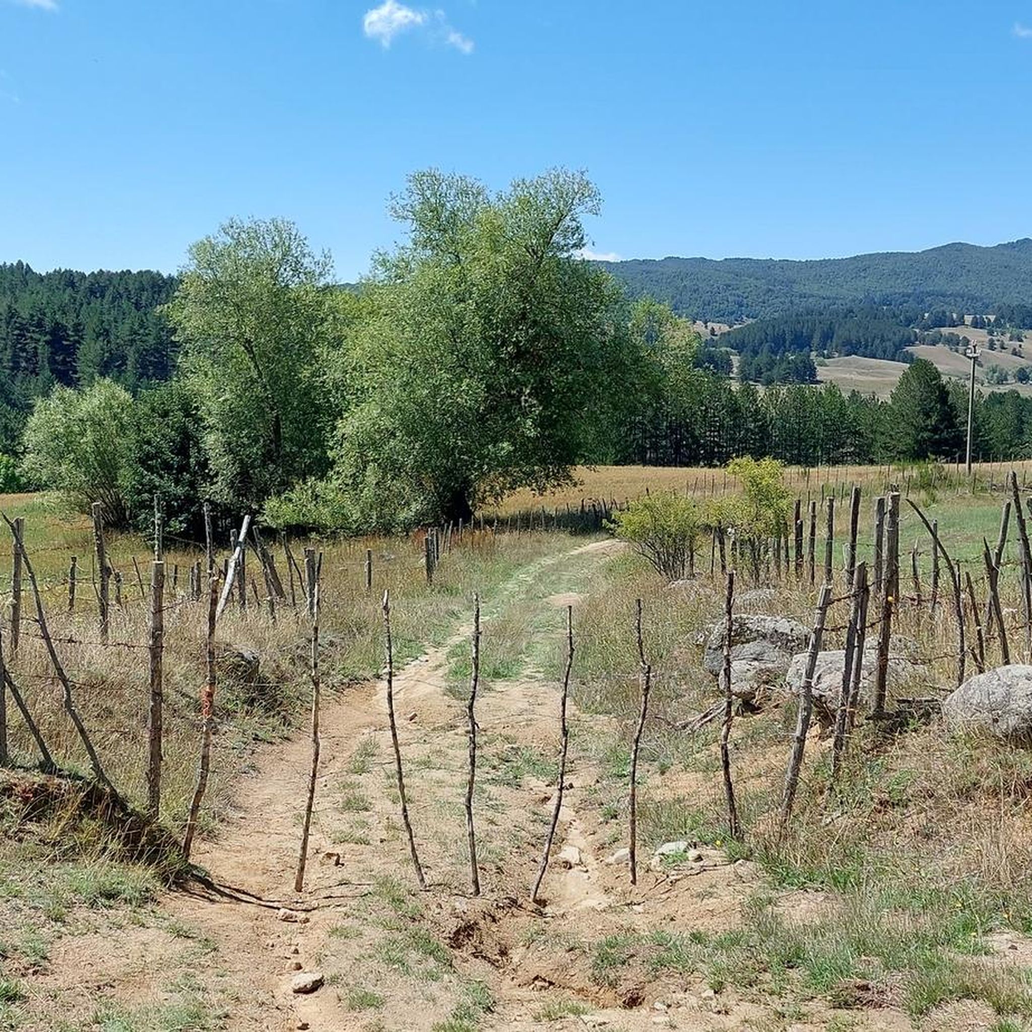
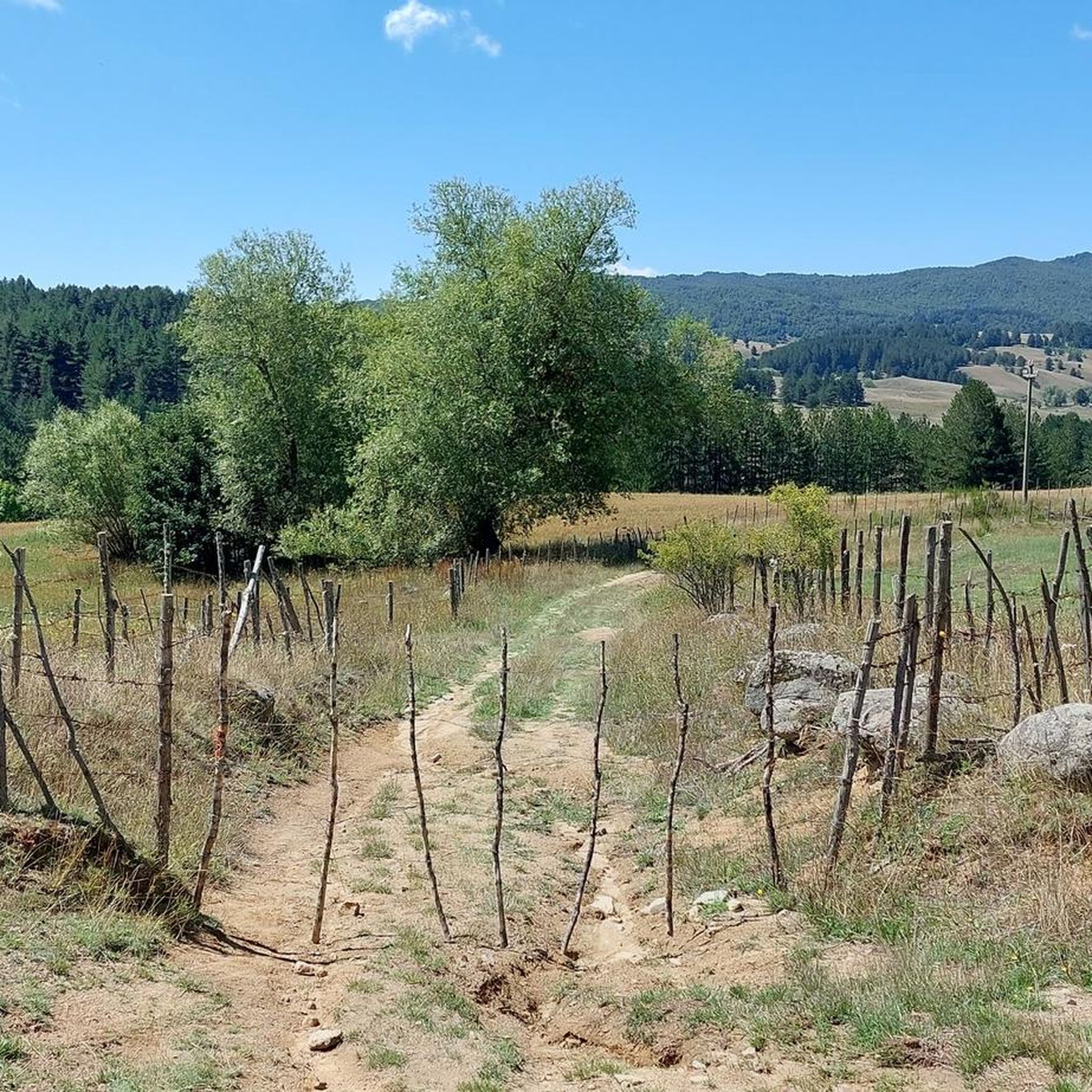
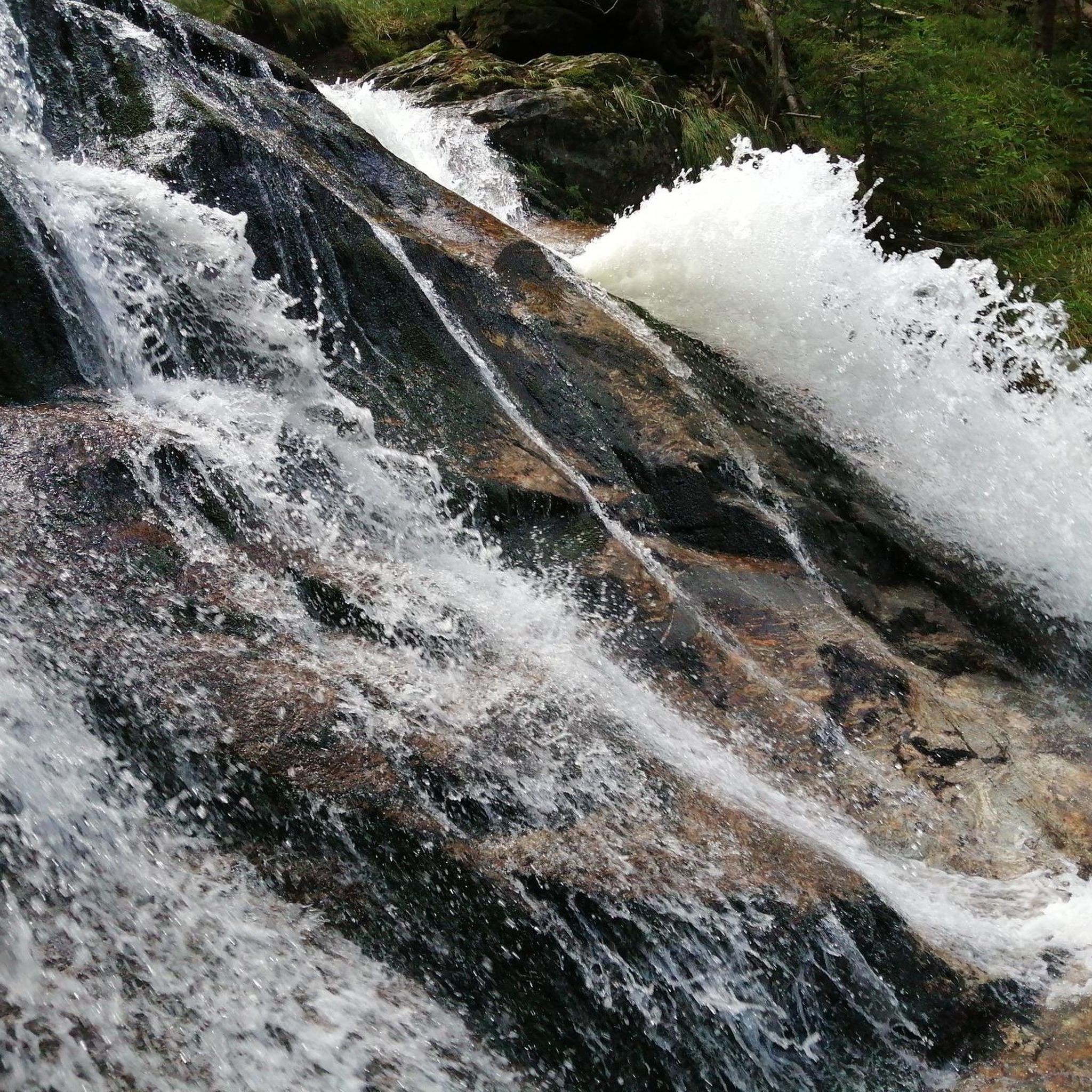
Tips from the Community

A must-see in southern Italy!
0
0


From the top of Botte Donato it is possible to admire the pollen
0
1

A road that allows you to reach the highest point of Sila.
0
0

Mount Botte Donato, with its 1,928 meters of height, is the highest peak on the Sila plateau. This peak hidden by trees can be reached with a simple walk from the Botte Donato pass, where the ski lifts arrive and where you can arrive by car in summer.
2
0
Path that crosses the Macchialonga Valley, with a series of very beautiful views overlooking the homonymous lake.
0
0
Stretch of path for pedaling immersed in nature, crossing the famous woods of the Sila National Park.
0
0

You pedal in the shade of huge reddish fir trees.
2
0
Frequently Asked Questions
How many mountain bike trails are available around Lake Votturino?
The area, which is part of the Sila National Park, features over 20 mountain bike trails. These routes primarily cater to experienced riders, with 20 classified as difficult and 2 as moderate.
What kind of terrain can I expect on mountain bike trails near Lake Votturino?
You can expect diverse mountainous terrain, characterized by dense forests of chestnut, larch, and Aleppo pine. Trails often feature challenging climbs, technical descents, and varied surfaces, providing an engaging environment for mountain bikers.
Are there any family-friendly mountain bike trails in the Lake Votturino area?
While the majority of trails around Lake Votturino are rated as difficult, the broader Sila National Park does offer some easier sections suitable for families. It's best to check individual route descriptions on komoot for specific difficulty ratings and suitability for children.
Can I bring my dog on the mountain bike trails around Lake Votturino?
The Sila National Park generally welcomes dogs on trails, but they must be kept on a leash to protect wildlife and ensure the safety of other visitors. Always check specific trail regulations before heading out, as rules can vary.
What are the best times of year for mountain biking near Lake Votturino?
The best times for mountain biking are typically spring, summer, and early autumn. During these seasons, the weather is generally mild, and the trails are most accessible. Winters can bring snow and colder temperatures, making many trails challenging or impassable.
Are there any circular mountain bike routes available?
Yes, many of the mountain bike trails in the region are designed as loops. For example, you can explore the Perilli Hills Loop – Lake Arvo at Lorica loop from Carlo Magno, a challenging 42.8 km route, or the Pietra d'Atari – Sila National Park loop from L'Arcobaleno di Zio Umile, which covers 31 km.
What are some notable natural features or viewpoints along the trails?
The Sila National Park is rich in natural beauty. You'll find dense forests, and while Lake Votturino is an empty basin, the region is home to other significant lakes like Lake Arvo. Elevated points, such as those found on the Perilli Hills Loop, offer panoramic views of the surrounding mountains and lakes.
Where can I find parking for mountain biking in the Lake Votturino area?
Parking is generally available at trailheads and near popular starting points within the Sila National Park. Specific parking information can often be found in the details of individual komoot tours or by checking local park signage.
What do other mountain bikers enjoy most about the trails here?
The trails around Lake Votturino are highly rated by the komoot community, with an average score of 4.7 stars from over 15 reviews. Riders often praise the diverse mountainous terrain, the challenge of the difficult routes, and the scenic beauty of the dense forests and panoramic vistas within Sila National Park.
Are there any mountain bike rental services or guided tours available nearby?
While direct services at Lake Votturino might be limited due to its nature, the broader Sila National Park region, particularly towns like Camigliatello Silano, offers mountain bike rental services and guided tours. It's advisable to inquire with local tourism offices or specialized bike shops in these nearby towns.
What is the longest mountain bike trail in this area?
One of the longer and more challenging routes is the Viale degli Abeti Rossi – Villaggio Zarella loop from Campo San Lorenzo, which spans 43.7 km and involves significant elevation gain through dense forests.
Is public transport available to access the mountain bike trails?
Public transport options to directly access specific trailheads within the Sila National Park can be limited. It's often more convenient to use a car to reach starting points. However, some larger towns within the park may have bus services, which could connect to areas closer to trails.

Get inspired with the komoot mobile app


Explore more
Browse the best MTB trails in other regions.
