The best road cycling routes around Lake Ariamacina
4.5
(18)
363
riders
12
rides
Road cycling routes around Lake Ariamacina are situated within the Sila National Park in Calabria, Southern Italy. The region features an artificial reservoir, Lake Ariamacina, surrounded by dense forests of beech, fir, and larch pine, alongside expansive high-altitude grasslands. The terrain includes small roads that wind through pine woods and alongside the water, offering varied elevation changes suitable for road cycling.
Best road cycling routes around Lake Ariamacina
- The most popular road cycling route is Ring tour of Lake Arvo…
Last updated: July 13, 2026
4.0
(2)
20
riders
52.6km
02:36
800m
800m
Moderate road ride. Good fitness required. Mostly well-paved surfaces and easy to ride.
5.0
(1)
12
riders
31.1km
01:40
370m
370m
Moderate road ride. Good fitness required. Some segments of this route may be unpaved and difficult to ride.

Sign up for free
5.0
(2)
39
riders
63.0km
03:26
1,210m
1,220m
Hard road ride. Very good fitness required. Mostly well-paved surfaces and easy to ride.
5.0
(2)
35
riders
Hard road ride. Very good fitness required. Mostly well-paved surfaces and easy to ride.
5.0
(1)
10
riders
Hard road ride. Very good fitness required. Mostly well-paved surfaces and easy to ride.
Get access to more routes and recommendations from other explorers.
Sign up for free
Already have an account?
Our route recommendations are based on thousands of hikes, rides, and runs completed by other people on komoot.
Start today with a free account
Your next adventure awaits.
Login or Signup
Tips from the Community

The summit of Sila, Monte Botte Donato. The small fountain is located near the refuge, close to the cable car station
0
0

The Scrivano Antonio Farming Company of Sandro Scrivano & C. S.a.s. is located in the heart of the Sila Plateau (Spezzano della Sila, CS) and extends over approximately 140 hectares of land in Contrada Vaccarizzo. Operating as a farm for over 19 years, it has a strong commitment to the short supply chain: it grows strawberries, cherries, vegetables, and potatoes (including the Patata della Sila PGI), and also specializes in cattle and sheep farming. Scrivano Antonio SAS also focuses on innovation and sustainability: it has launched a photovoltaic system project on its farm to reduce its energy footprint. The Scrivano Antonio Farming Company of Sandro Scrivano & C. is also the ideal place to charge your e-bike and earn DINAclub points. Find out how at: https://dinaclub.repower.com/ To discover the area, a ready-to-ride itinerary: https://www.komoot.com/it-it/tour/2696115840?share_token=aBErsnLmooRe4QbvA36uu7hKZzOLZ0gXmiYtVTCNyoFxlAXT7J&ref=wtd
0
0
From the summit of Mount Botte Donato
1
0
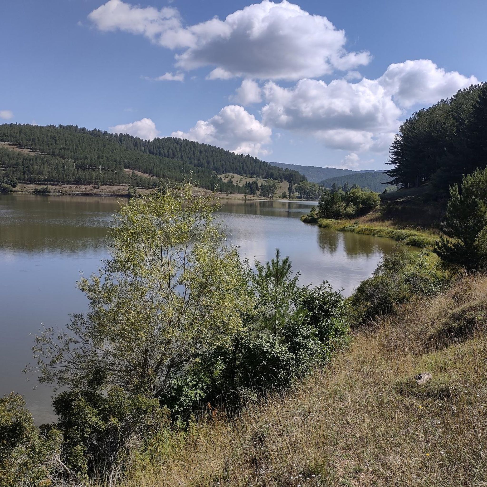
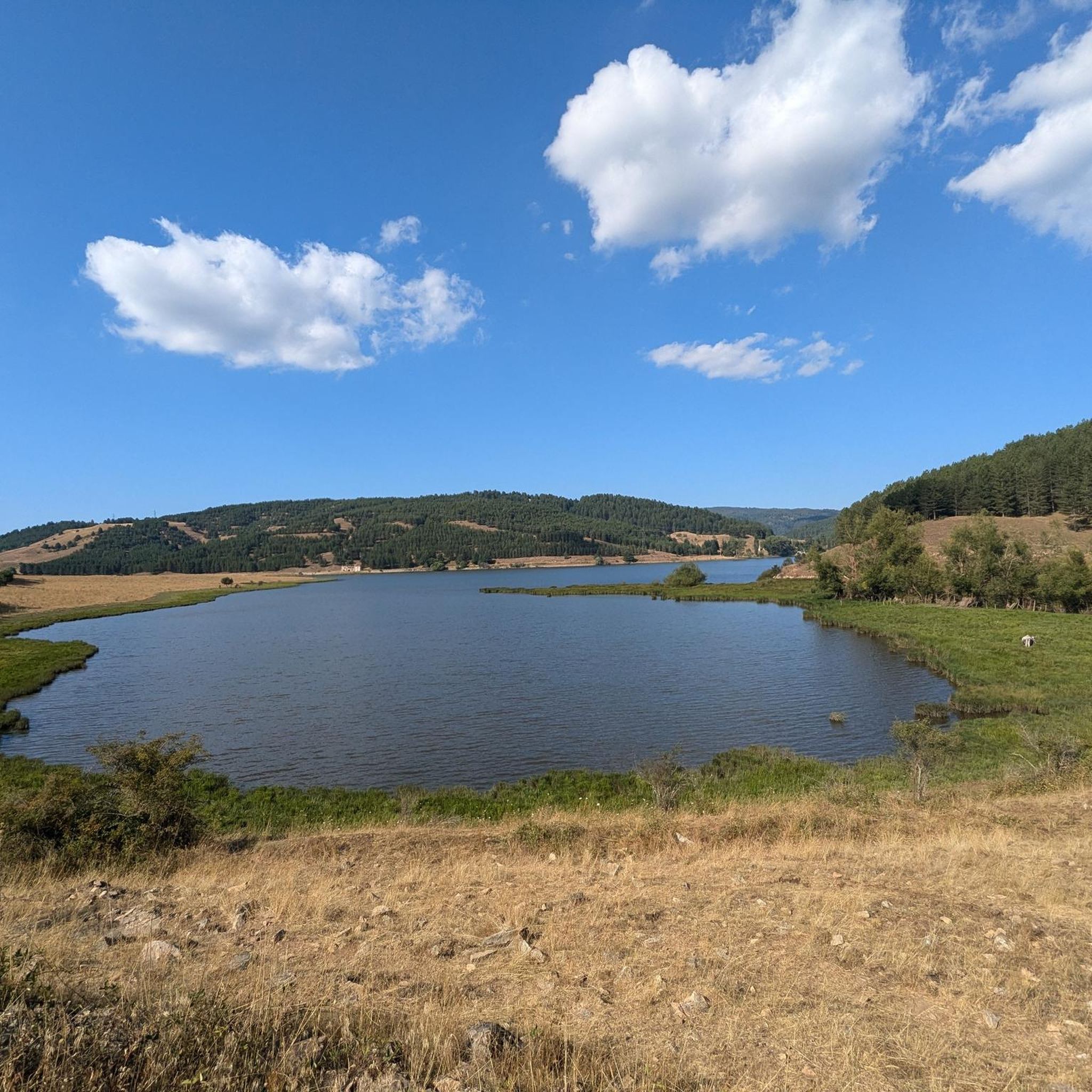
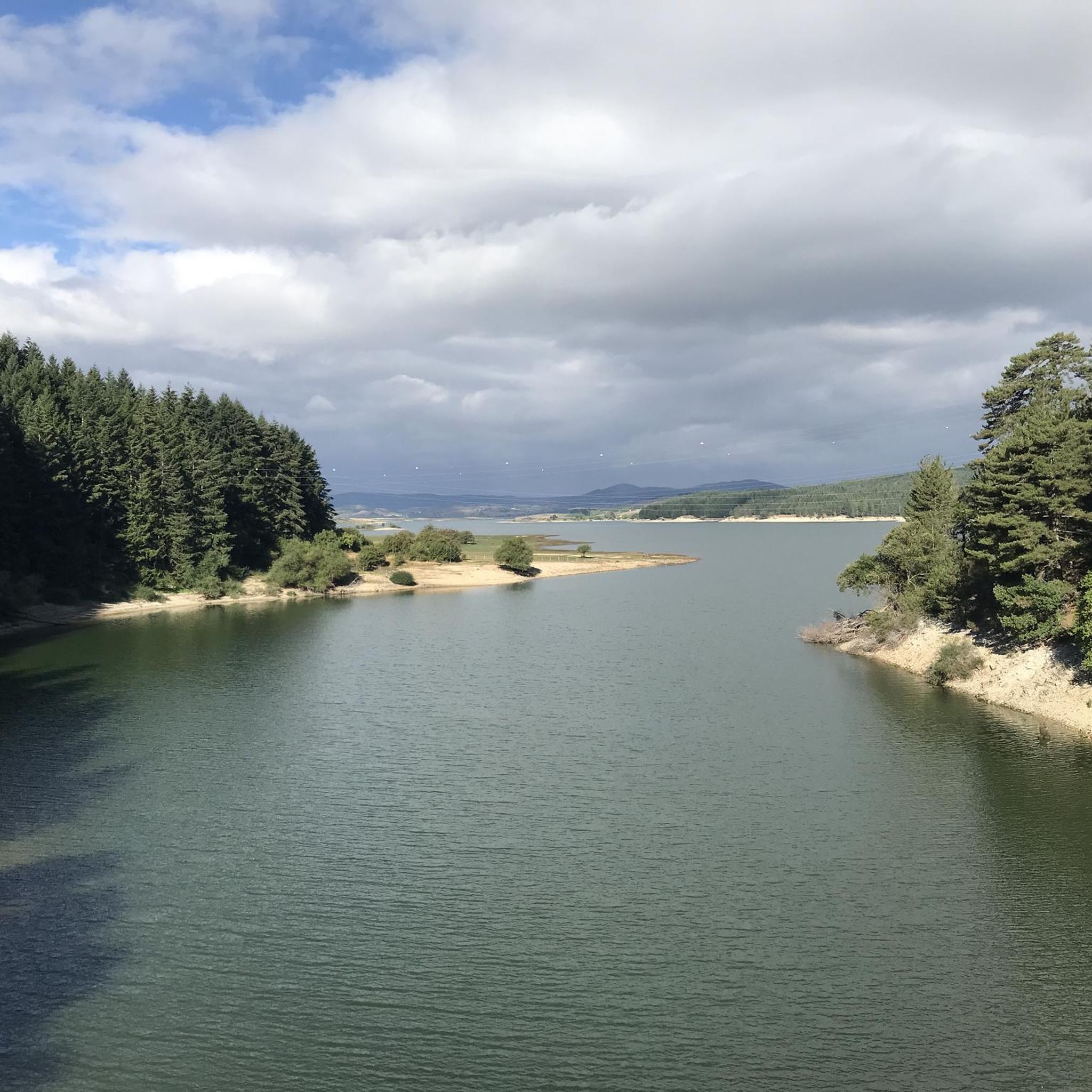
Lake Cecita is one of the artificial basins that has adapted best to the Sila landscape
0
0

After a ride around the lake... time for some serious charging. The local Patate della Sila IGP is not only legendary in taste, but also fuel, which grows thanks to the same water you just passed. Grown right next to the trail, it ends up on your plate before you even have time to take off your helmet😅. Perfect after the kilometers you've racked up.
1
0
The Ciclovia dei Parchi della Calabria runs around the lake. Although the entire Ciclovia is considered a route for experienced cyclists due to the significant elevation gain, the lake section is characterized by a more accessible profile. The sections are dominated by flat or gentle climbs, making it suitable for cyclists with average physical fitness. The surface is mixed, alternating between asphalt and gravel sections (natural surfaces and dirt roads), typical of cycle routes immersed in nature. For this reason, a trekking, gravel or mountain bike is most suitable.
1
0
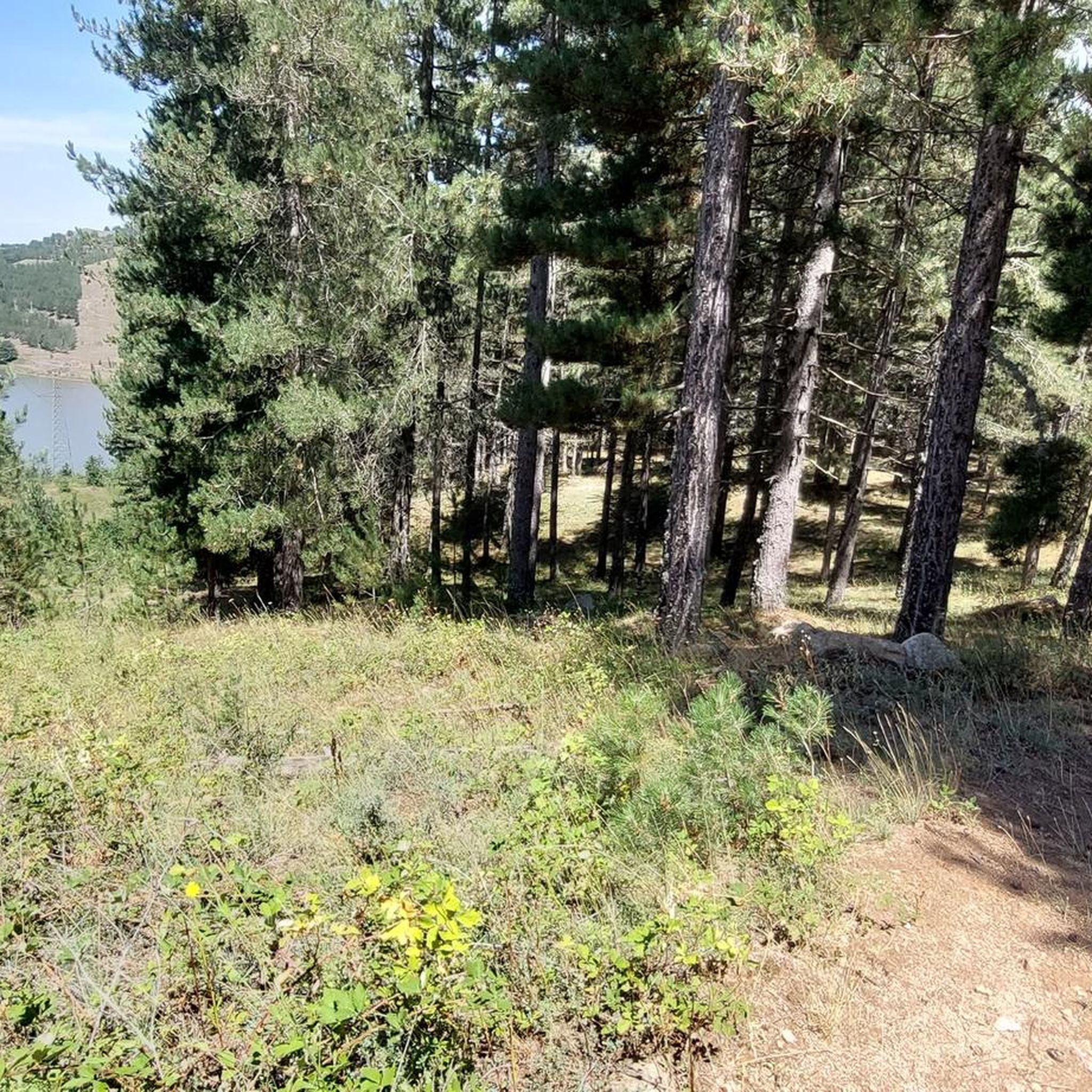
Photos from this place best reflect the natural and wild character of Lago di Cecita, whose surface is located at 1,143 meters above sea level. The forest not only does not end at the water line, but actually penetrates it. Tall conifers and lower shrubs create a dense wall of greenery, the lowest parts of which grow out of the lake's depths. It looks as if nature perfectly incorporated the body of water into the existing forest, creating a harmonious, forest-water scenery.
1
0

with the snow it's beautiful
0
0
Frequently Asked Questions
How many road cycling routes are available around Lake Ariamacina?
There are 10 road cycling routes available around Lake Ariamacina on komoot, offering a range of experiences from moderate to difficult.
What are the typical difficulty levels for road cycling routes in the Lake Ariamacina area?
The road cycling routes around Lake Ariamacina are primarily categorized as moderate to difficult. You'll find 4 moderate routes and 6 difficult routes, often featuring significant elevation gains suitable for experienced cyclists.
What kind of terrain and road surface can I expect while road cycling around Lake Ariamacina?
Cyclists can expect varied terrain, with routes winding through dense forests of beech, fir, and larch pine, alongside expansive high-altitude grasslands. The roads are generally small, offering a tranquil experience. While specific surface quality varies, the area is well-suited for road cycling, indicating a suitable infrastructure for touring.
Are there any circular road cycling routes around Lake Ariamacina or nearby lakes?
Yes, there are several excellent circular routes. A popular option is the Ring tour of Lake Arvo in the Sila National Park. Another challenging loop is the Lago Cecita – Lake Cecita loop from Ex Stazione di San Nicola-Silvana Mansio, which offers a comprehensive tour around Lake Cecita with substantial elevation.
What natural features or landmarks can I see along the road cycling routes?
The routes immerse you in the Sila National Park's natural beauty, featuring dense forests, high-altitude grasslands, and views of artificial lakes like Lake Ariamacina itself. You can also cycle past Lake Arvo on routes like the Strada delle Vette and Lake Arvo Loop, or explore the area around Lake Cecita, which features the small church of San Lorenzo set against stunning meadows.
What is the best time of year for road cycling around Lake Ariamacina?
The region offers beautiful cycling conditions, but given its high-altitude grasslands and forests, spring through early autumn would generally be the most pleasant. This avoids the colder winter months and allows you to enjoy the lush scenery and milder temperatures.
Are there any road cycling routes that offer significant elevation gain for a challenging ride?
Absolutely. Many routes in the area feature significant elevation. For instance, the Strada delle Vette and Lake Arvo Loop includes over 1200 meters of ascent. Another challenging option is the From Camigliatello Silano to Monte Scuro and Monte Botte Donato along the Strada delle Vette – ring tour, which also boasts over 1100 meters of climbing.
What do other road cyclists enjoy most about road cycling in Lake Ariamacina?
The area is highly rated by the komoot community, with an average score of 4.5 stars from over 18 reviews. Reviewers often praise the serene atmosphere, the beautiful natural landscapes, and the opportunity to immerse themselves in the tranquil environment away from crowded spots.
Are there any specific viewpoints along the road cycling routes that offer panoramic views?
While specific named viewpoints are not detailed for every route, the general terrain of high-altitude grasslands and winding roads through forests often provides breathtaking views of the lake and the surrounding Sila National Park. Routes that traverse the 'Strada delle Vette' (Road of Peaks), such as the Il Monte Botte Donato da Camigliatello Silano – loop hike in the Parco Nazionale della Sila, are likely to offer expansive vistas.
Is it possible to reach the Lake Ariamacina cycling routes using public transport?
While the region is known for its natural beauty and tranquility, detailed public transport options directly to the trailheads around Lake Ariamacina are not extensively documented. It's generally advisable to check local bus schedules or consider driving to a starting point, especially if you're bringing a bike.
Are there any cafes or accommodation options near the road cycling routes?
The Sila National Park, where Lake Ariamacina is located, has various small towns and villages. While specific cafes directly on the routes are not listed, areas like Camigliatello Silano, a common starting point for some tours, would likely offer amenities such as cafes and accommodation suitable for cyclists. It's recommended to check local listings for these towns.
Most popular routes around Lake Ariamacina

Get inspired with the komoot mobile app


Explore more
Browse the best Road cycling routes in other regions.
