The best cycling routes around Goldkanal
4.4
(3793)
21,845
riders
561
rides
Touring cycling around Goldkanal offers routes through an expanded old arm of the Rhine River, now a gravel pit lake, located in Baden-Württemberg. This area features an expansive body of water and its adjacent floodplains, with the southern section designated as a nature reserve. The wider Baden-Württemberg region provides diverse landscapes, including river valleys, low mountain ranges, and forests, suitable for touring cycling. Many routes feature paved surfaces, making them accessible for various cycling preferences.
Best touring cycling routes around…
Last updated: October 7, 2026
4.7
(9)
79
riders
Easy bike ride. Great for any fitness level. Mostly paved surfaces. Suitable for all skill levels.
4.5
(23)
88
riders
Moderate bike ride. Good fitness required. Mostly paved surfaces. Suitable for all skill levels.

4.3
(4)
58
riders
Easy bike ride. Great for any fitness level. Mostly paved surfaces. Suitable for all skill levels.
5.0
(2)
46
riders
Easy bike ride. Great for any fitness level. Mostly paved surfaces. Suitable for all skill levels.
4.6
(48)
225
riders
Moderate bike ride. Good fitness required. Mostly paved surfaces. Suitable for all skill levels.
Get access to more routes and recommendations from other explorers.
Already have an account?
Our route recommendations are based on thousands of hikes, rides, and runs completed by other people on komoot.
Start today with a free account
Your next adventure awaits.
Tips from the Community

Unfortunately, everything is very smeared now....
0
0
One of the many old concrete bridges here in the Altrhein
0
0

Whitewater feeling in the middle of the city park
0
0

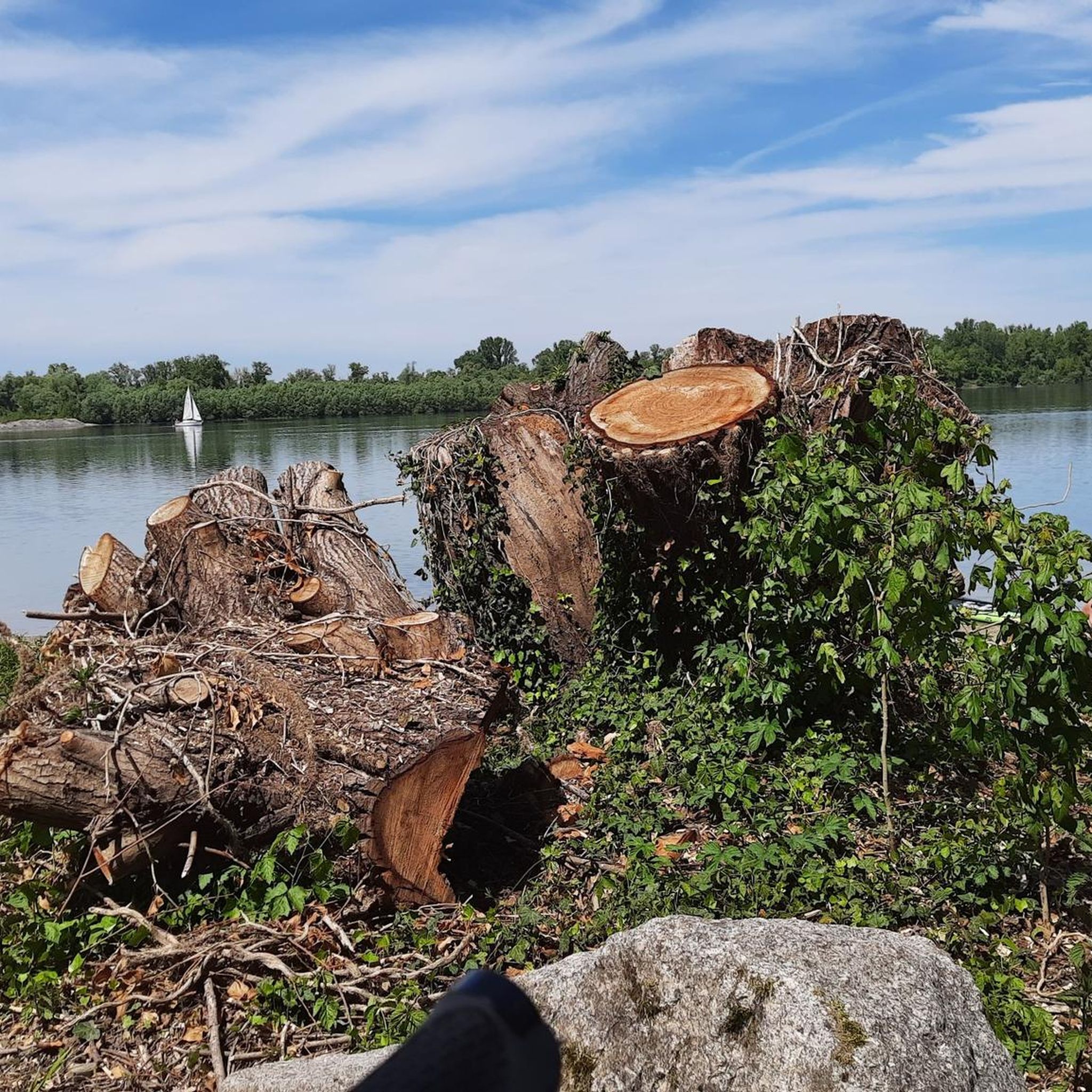
View of the Rhine? And this, on the Rhine? Scandal!
4
0

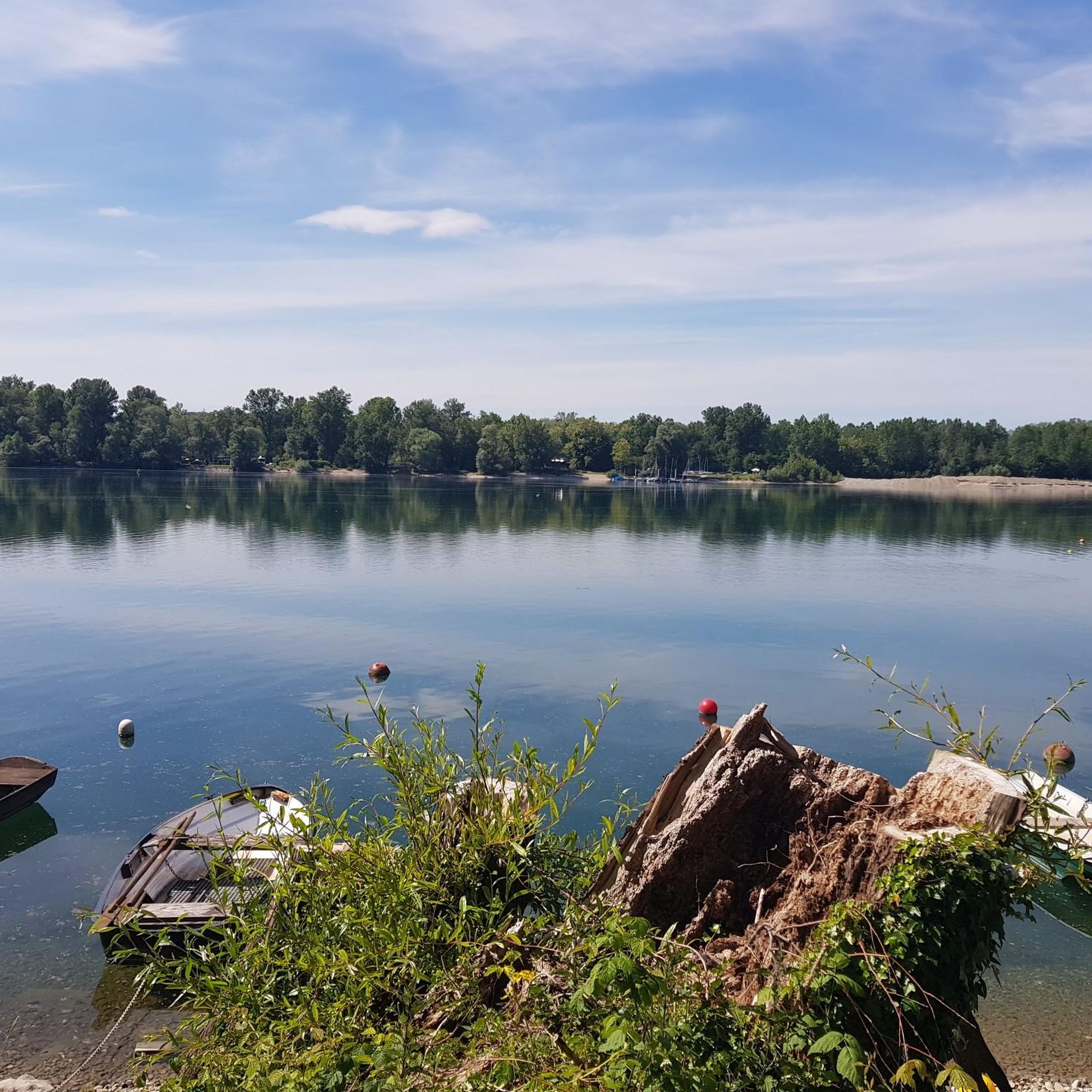
The Altrhein near Plittersdorf is a former arm of the Rhine river, which was separated from the main stream by the Rhine regulation in the 19th century (also called Rhine straightening). Today, the Altrhein is a calm, mostly slow-flowing or standing body of water in the Rhine floodplain near Plittersdorf. It is surrounded by riparian forests, meadows, and small water areas. This natural landscape offers an important habitat for many animal and plant species, such as birds like herons and swans, as well as various fish species. In the past, the Rhine flowed directly past Plittersdorf and often caused floods. The regulation changed the course of the river, and the Altrhein remained as a "remnant" of the old Rhine. Today, it has primarily ecological significance and also serves as a recreational area for people.
0
0
The Altrhein near Plittersdorf is a former arm of the Rhine, which was separated from the main stream by the Rhine regulation in the 19th century (also called Rhine straightening). Today, the Altrhein is a quiet, mostly slow-flowing or standing body of water in the Rhine floodplain near Plittersdorf. It is surrounded by floodplain forests, meadows, and small bodies of water. This natural landscape offers an important habitat for many animal and plant species, for example birds such as herons and swans, as well as various fish species. In the past, the Rhine flowed directly past Plittersdorf and frequently caused floods. The course of the river was changed by the straightening, and the Altrhein was preserved as a "remnant" of the old Rhine. Today it has primarily ecological significance and also serves as a recreational area for people.
0
0
The Sauer is an approximately 70 km long tributary of the Rhine. It originates in the Palatinate Forest near the German-French border. On its way, it flows through the Northern Vosges and partly forms the border between Germany and France. It then crosses Alsace before flowing into the Rhine near Munchhausen. The Sauer has a catchment area of about 800 km² and an average discharge of around 6 m³ per second.
0
0
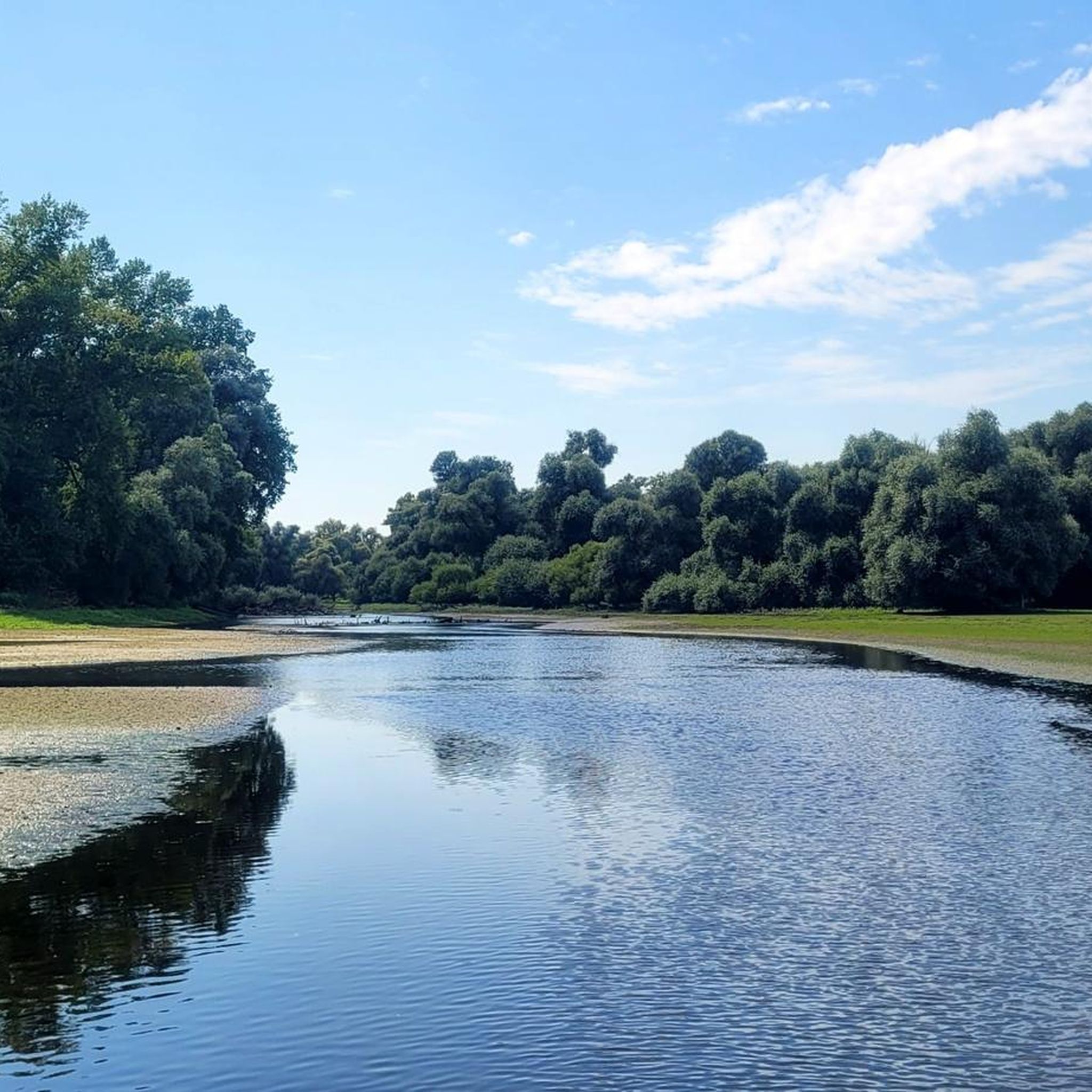
Willow bushes, marshy areas and reeds, - the Sauer Delta nature reserve is an unusual landscape! In 1997 it was declared a nature reserve by ministerial decree and 486 ha were protected. From an ornithological, botanical and landscape perspective, it is a truly exceptional area and one of the last regions in France where the Rhine floodwaters can still spread.
0
0
Frequently Asked Questions
How many touring cycling routes are available around Goldkanal?
There are over 520 touring cycling routes around Goldkanal, catering to various skill levels. You'll find a wide selection, from easy rides to more challenging routes through diverse landscapes.
What kind of terrain can I expect on touring cycling routes in Goldkanal?
The routes around Goldkanal primarily feature paved surfaces, making them accessible for a range of cyclists. You'll cycle through river valleys, along the expansive gravel pit lake, and sometimes through forested areas, often on relatively flat terrain.
Are there any family-friendly touring cycling routes in the Goldkanal area?
Yes, Goldkanal offers many easy routes suitable for families. For example, the Community Center Elchesheim-Illingen – Connecting cycle path loop from Elchesheim-Illingen is an easy 10.3 km path with minimal elevation, perfect for a relaxed family outing.
What are some notable landmarks or attractions I can see while cycling around Goldkanal?
While cycling, you can explore several points of interest. The South Shore of Goldkanal and Goldkanal Beach offer scenic views of the lake. You might also encounter the MÖBS Bike Loop (Steinmauern – Bietigheim) bridge or the historic Old Oak Tree. Many routes also pass by the Goldkanal itself, which is the largest gravel pit lake in Baden-Württemberg.
What do other touring cyclists enjoy most about cycling in Goldkanal?
The area is highly rated by the komoot community, with an average score of 4.5 stars from over 3,200 reviews. Cyclists often praise the well-maintained paths, the scenic river views, and the opportunity to experience the unique landscape of the Goldkanal and Rhine floodplains.
Are there any circular touring cycling routes around Goldkanal?
Yes, many routes around Goldkanal are designed as loops, allowing you to start and end at the same point. An example is the The Sauer – Plittersdorf–Seltz Rhine Ferry loop from Mothern, an easy 20.8 km path featuring river views and ferry crossings.
Is public transport available to reach the cycling routes around Goldkanal?
Goldkanal is situated in Baden-Württemberg, a region with good infrastructure. While specific public transport options directly to every trailhead may vary, the area around Elchesheim-Illingen, a common starting point, is generally accessible. It's advisable to check local bus or train schedules for connections to towns near your chosen starting point.
Are there cafes or restaurants along the touring cycling routes in Goldkanal?
Given the popularity of Goldkanal as a recreational area and its integration into broader cycling networks like the Pamina-Rheinparks, you can expect to find cafes, restaurants, or rest stops in nearby towns and villages. These are ideal for breaks and refreshments during your tour.
What is the best time of year to go touring cycling around Goldkanal?
The Goldkanal region, like much of Baden-Württemberg, offers pleasant cycling conditions from spring through autumn. Spring brings blooming nature, while summer allows for warmer rides and water activities. Autumn provides beautiful foliage. Always check the local weather forecast before heading out.
Are there any easy touring cycling routes for beginners around Goldkanal?
Absolutely. Over 310 of the routes around Goldkanal are classified as easy. A great option for beginners is the Neuburgweier Customs House – Seyfart Kiosk on the Rhine loop from Elchesheim-Illingen, a gentle 16.6 km ride with minimal elevation gain.
Can I bring my dog on the touring cycling routes in Goldkanal?
Many cycling paths in the Goldkanal area are suitable for cycling with dogs, especially those on paved or well-maintained gravel surfaces. However, always ensure your dog is on a leash, especially in nature reserve areas like the southern section of Goldkanal and its adjacent floodplains, and be mindful of other cyclists and pedestrians.
Are permits required for cycling in the Goldkanal area?
Generally, no specific permits are required for recreational cycling on public paths and roads around Goldkanal. However, if you plan to enter specific nature reserve areas or private property, always look for signage regarding access restrictions or permit requirements.
Where can I park my car when starting a touring cycling route in Goldkanal?
Many towns and villages surrounding Goldkanal, such as Elchesheim-Illingen, offer public parking facilities. Look for designated parking areas near popular starting points or community centers. It's always a good idea to check local parking regulations before you arrive.
Most popular routes around Goldkanal
Most popular attractions around Goldkanal

Get inspired with the komoot mobile app


Explore more
Browse the best Cycling routes in other regions.
