The best road cycling routes around Bowerchalke
4.5
(28)
905
riders
84
rides
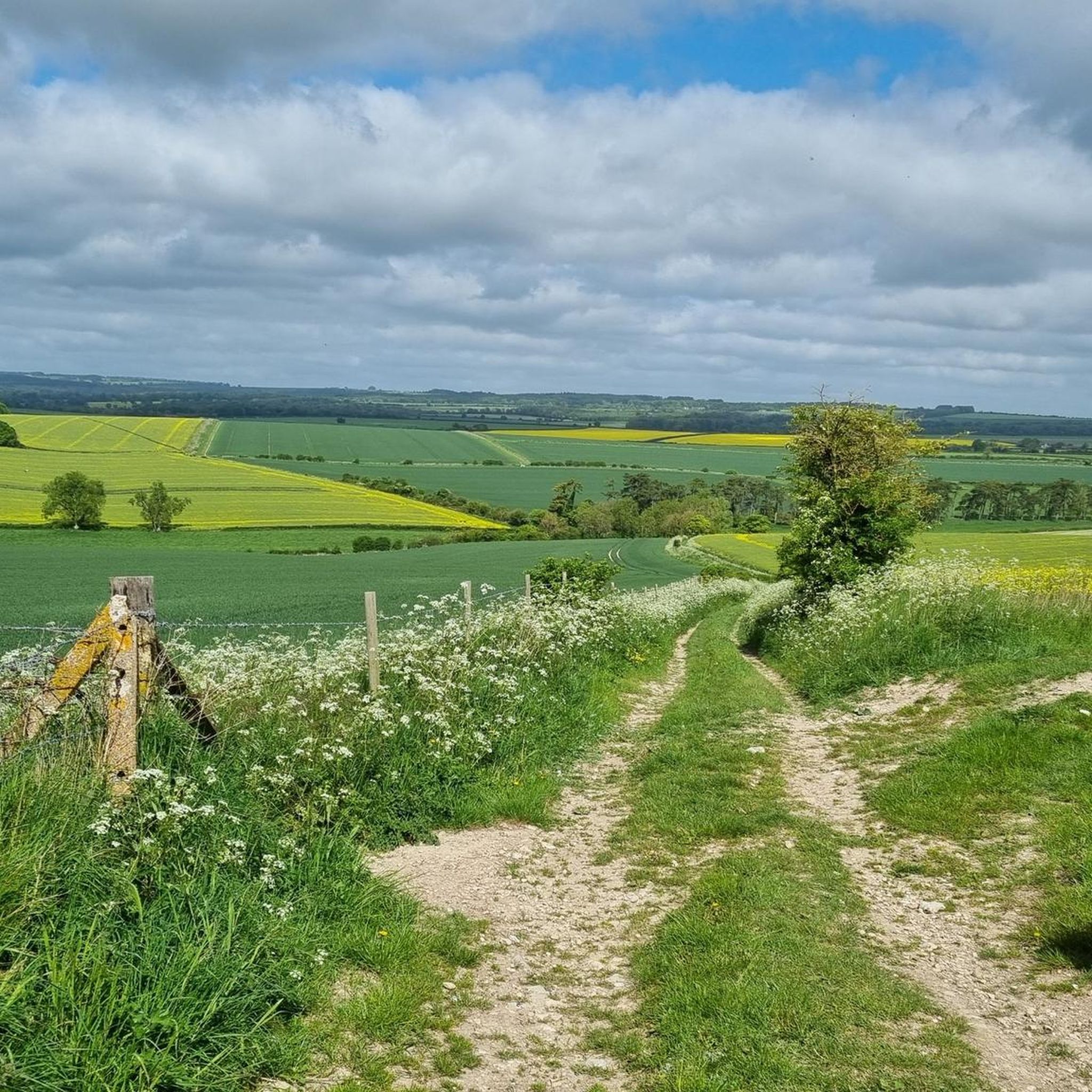
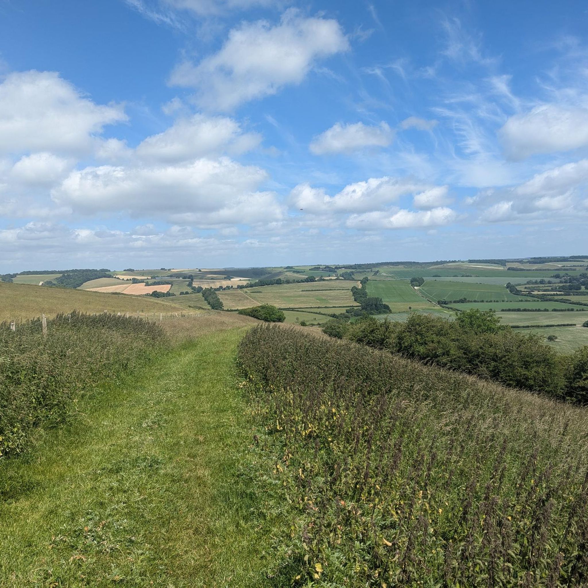
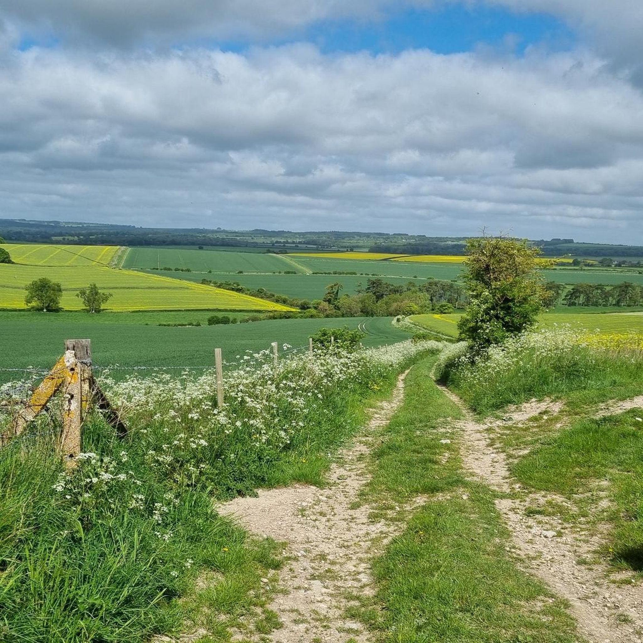
Road cycling around Bowerchalke is situated within the Cranborne Chase and West Wiltshire Downs Area of Outstanding Natural Beauty (AONB). The region features rolling chalk grassland, ancient woodlands, and chalk escarpments, providing varied terrain. The Chalke Valley, with its tranquil River Chalke and modest hills, offers a mix of ascents and descents. Generally traffic-free roads wind through unspoilt countryside, making it suitable for road cyclists.
Best road cycling routes around Bowerchalke
- The most popular road cycling route is Salisbury Cathedral…
Last updated: July 12, 2026
5.0
(1)
56
riders
59.6km
02:43
530m
530m
Moderate road ride. Good fitness required. Mostly well-paved surfaces and easy to ride.
26
riders
Easy road ride. Great for any fitness level. Mostly well-paved surfaces and easy to ride.

Sign up for free
22
riders
Moderate road ride. Good fitness required. Mostly well-paved surfaces and easy to ride.
22
riders
55.6km
02:39
440m
450m
Moderate road ride. Good fitness required. Mostly well-paved surfaces and easy to ride.
3.0
(2)
18
riders
Moderate road ride. Good fitness required. Mostly well-paved surfaces and easy to ride.
Get access to more routes and recommendations from other explorers.
Sign up for free
Already have an account?
Our route recommendations are based on thousands of hikes, rides, and runs completed by other people on komoot.
Start today with a free account
Your next adventure awaits.
Login or Signup


Tips from the Community

The Poultry Cross, often referred to as Salisbury Market Cross, is a medieval 14th-century market cross in the heart of Salisbury. It was originally part of the town's market facilities and marked the area of the poultry market. It is the only one of the city's four historic market crosses to have survived to this day.
1
0
St Thomas’s Church is, alongside the famous Salisbury Cathedral, one of Salisbury’s most significant historical buildings. Particularly noteworthy is the medieval “Doom Painting” (representation of the Last Judgment) above the chancel arch. It is among the best-preserved examples of its kind in Great Britain and was made visible again in its original colours in 2019 after a comprehensive restoration. The richly carved roof structures with numerous angel figures, as well as the connection to Salisbury’s trading history, also make the church worth seeing.
1
0
The River Avon path in Salisbury leads through a quiet, picturesque river landscape with beautiful views of the surroundings. The water meadows and the diverse birdlife along the path are particularly charming. The predominantly flat path is excellent for a relaxing walk in nature.
1
0

Paddington has been seated on a bench on Fisherton Street, outside The former General Infirmary, sporting his signature red hat, blue duffle coat, and a marmalade sandwich in paw. Great spot for a selfie.
0
0

Pro Tip: Salisbury Navigation — Start Smart, Finish Smarter Salisbury is a natural waypoint on the King Alfred’s Way — a scenic and historic city, but also a maze for a tired bikepacker. Here’s how to avoid the common pitfalls: 🧭 Navigation Hazards: The city layout can be disorienting after a long day in the saddle, especially with phone fatigue, low battery, or GPS signal issues. Preload your route offline and drop a pin at your parking location or train station before rolling out. 📱 Backup Nav: Bring a secondary form of navigation — a small power bank, a basic GPS unit, or even a paper map. If you’re relying on your phone, make sure screen timeouts and lockouts won’t leave you stranded (ask me how I know…). 📦 Start/End Point Logistics: If parking in Salisbury, choose a well-marked car park close to a landmark or note the street name. Trusting “Find My Parked Car” or memory alone can lead to a post-ride goose chase. A hidden hero? An AirTag stashed in your car. 🚴♂️ Ride Timing: Salisbury is a great place to begin or end a leg — just be aware of city traffic and tourist footfall, especially near the cathedral. Early starts and twilight returns can ease your flow through town.
1
0


A place for a rest if you need it
0
0
Frequently Asked Questions
How many road cycling routes are available around Bowerchalke?
There are nearly 90 road cycling routes around Bowerchalke, offering a wide range of options for different skill levels and preferences. The komoot community has explored these routes over 900 times.
What kind of terrain can I expect on road cycling routes in Bowerchalke?
Road cycling in Bowerchalke primarily features rolling chalk grassland, ancient woodlands, and chalk escarpments within the Cranborne Chase and West Wiltshire Downs Area of Outstanding Natural Beauty (AONB). You'll find a mix of modest hills offering rewarding climbs and scenic descents, often on generally traffic-free roads through unspoilt countryside.
Are there routes suitable for beginners or those looking for an easy ride?
Yes, Bowerchalke offers several easy road cycling routes. There are 27 routes specifically graded as easy, providing a gentler experience through the scenic Chalke Valley. An example is the St Thomas’s Church, Salisbury – Salisbury Cathedral loop from Cranborne Chase & West Wiltshire Downs National Landscape, which is an easy 38.8 km ride.
What are some challenging road cycling routes near Bowerchalke?
For those seeking a challenge, Bowerchalke and the surrounding AONB offer routes with significant climbs. While most routes are moderate, the region's rolling hills provide ample opportunity for strenuous ascents. The Salisbury Cathedral – Fovant Downs Climb loop from Broad Chalke, for instance, includes a notable climb and covers 59.2 km with over 500 meters of elevation gain.
What landmarks or scenic views can I see along the road cycling routes?
The routes around Bowerchalke offer stunning views and access to historical landmarks. You can enjoy panoramic vistas from viewpoints like View from Charlton Down. The Win Green Summit, the highest point in Cranborne Chase, provides breathtaking views over Blackmore Vale and Salisbury Plain. Other notable features include the ancient Bokerley Dyke and the picturesque Church of the Holy Trinity in Bowerchalke village.
Are there any circular road cycling routes available?
Yes, many of the road cycling routes around Bowerchalke are circular, allowing you to start and finish in the same location. Examples include the View from Charlton Down – Chalk Downland Descent loop from Ebbesborne Wake and the The Cliff Ascent – Wimborne St Giles Pond loop from Sixpenny Handley, both offering varied scenery on a loop.
What is the best time of year for road cycling in Bowerchalke?
The Chalke Valley and surrounding areas are beautiful for road cycling throughout much of the year. Spring and autumn offer pleasant temperatures and vibrant landscapes, with spring showcasing wildflowers and autumn displaying rich foliage. Summer provides longer daylight hours, while winter can be crisp but may require more preparation for colder weather.
Is Bowerchalke suitable for family-friendly road cycling?
While many routes involve rolling hills, there are options for families. The generally traffic-free roads through the Chalke Valley make it a safer environment for younger or less experienced cyclists. Look for routes designated as 'easy' on komoot, which typically have less elevation gain and shorter distances, making them more suitable for a family outing.
What do other road cyclists enjoy most about cycling in Bowerchalke?
The area is highly rated by the komoot community, with an average score of 4.5 stars from over 20 reviews. Cyclists frequently praise the stunning landscapes, the quiet, traffic-free roads, and the varied terrain that caters to different abilities. The panoramic views from the chalk downs are also a common highlight.
Where can I find parking for road cycling in Bowerchalke?
Bowerchalke village and nearby settlements often provide local parking options suitable for cyclists. As the area is popular for outdoor activities, you can typically find parking near village centers or trailheads. It's advisable to check local signage for any restrictions or designated parking areas upon arrival.
Are there any cafes or pubs along the road cycling routes for a break?
Yes, the Chalke Valley and surrounding villages, including Bowerchalke and Broad Chalke, have local pubs and cafes where cyclists can stop for refreshments. These establishments often provide a welcoming break and a taste of local hospitality during your ride.
Are there any permits required for cycling in the Cranborne Chase AONB?
Generally, no specific permits are required for road cycling on public roads within the Cranborne Chase and West Wiltshire Downs AONB. However, if you plan to venture onto private land or specific trails, it's always best to check for any access restrictions or requirements beforehand.
Most popular attractions around Bowerchalke

Get inspired with the komoot mobile app


Explore more
Browse the best Road cycling routes in other regions.
