The best running trails around Embalse de Bramatuero Bajo
4.0
(2)
972
runners
12
runs
Jogging around Embalse de Bramatuero Bajo offers routes through a dramatic mountain landscape characterized by glacial lakes and clear waters reflecting surrounding peaks. This region, nestled within the Aragonese Pyrenees, features invigorating inclines and declines, providing a challenging yet rewarding experience for runners. The area is part of a larger glacial lake system, including the Bachimaña lake system, and is known for its mountainous terrain.
Best jogging routes around Embalse de Bramatuero Bajo
- The most popular jogging route is Infiernos,…
Last updated: July 4, 2026
76
runners
13.3km
02:11
790m
790m
Challenge yourself on this difficult 8.3-mile trail running route from Baños de Panticosa to the stunning Blue Ibones and Bachimaña lakes.
14
runners
4.53km
01:00
460m
460m
This difficult 2.8-mile trail running route from Baños de Panticosa leads to the beautiful Ibones de Ordicuso, gaining 1524 feet.

Sign up for free
14
runners
4.78km
01:02
480m
480m
This difficult 3.0-mile (4.8 km) jogging route ascends 1559 feet (475 metres) to the Ibones de Ordicuso and Cascada de Argualas.
6
runners
15.0km
02:55
1,040m
1,040m
Hard run. Very good fitness required. Sure-footedness, sturdy shoes and alpine experience required.
18
runners
5.20km
01:10
560m
560m
Hard run. Very good fitness required. Mostly paved surfaces. Suitable for all skill levels.
Get access to more routes and recommendations from other explorers.
Sign up for free
Already have an account?
Our route recommendations are based on thousands of hikes, rides, and runs completed by other people on komoot.
Start today with a free account
Your next adventure awaits.
Login or Signup
Popular around Embalse de Bramatuero Bajo
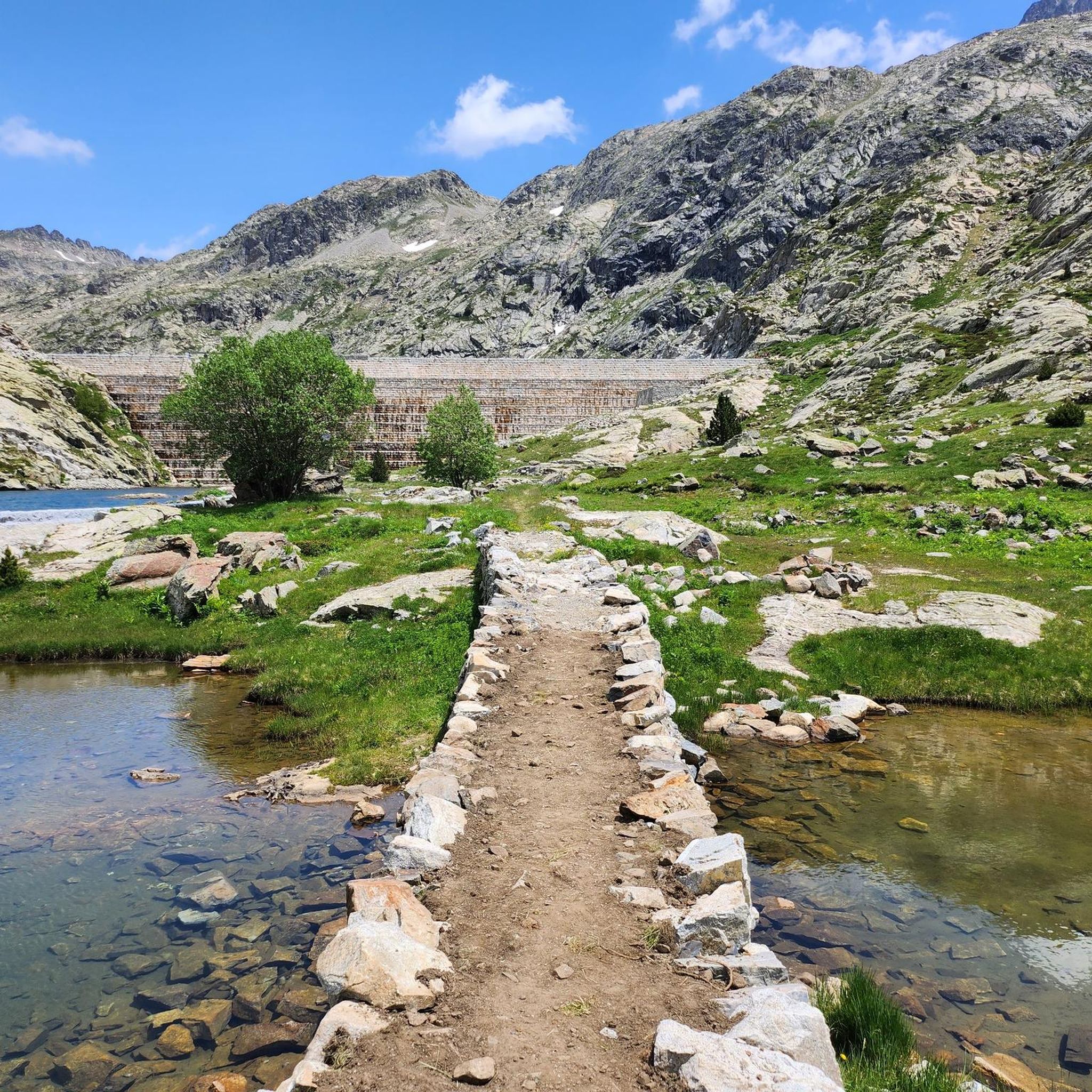
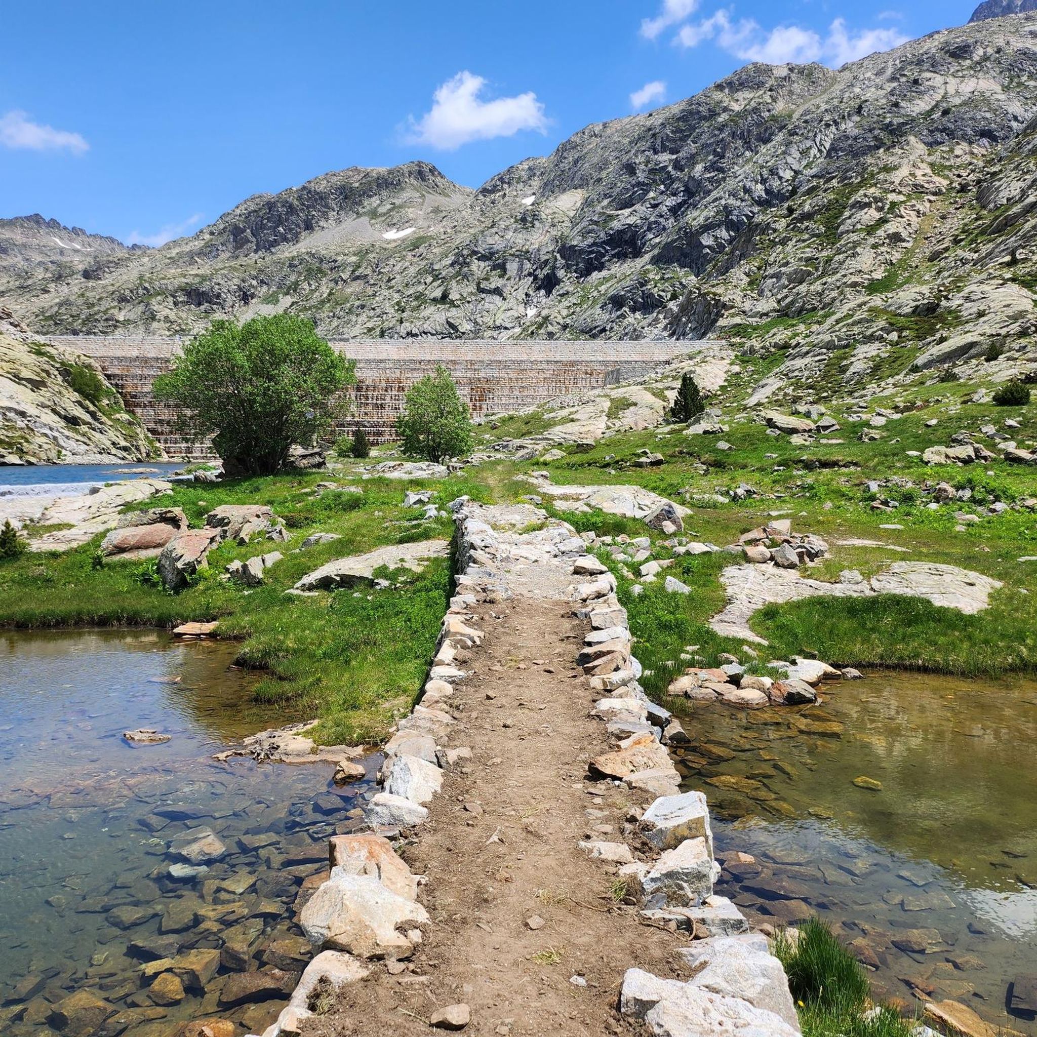
Tips from the Community

Unfortunately, they do not accept dogs...we arrived at the place soaking wet and they refused entry to our dog.
0
0

The Bachimaña lakes refuge can accommodate up to 80 people sleeping in rooms with 4 to 12 beds. It also offers drinks and food. It has heating and hot showers and even an infirmary. It is guarded all year round.
2
0

Fantastic. And certainly not accessible to everyone.
0
0

Area where there is a set of Ibones in a rather stony mountain area due to its height. From this point you can see a large number of peaks in the area such as the Pico de Arnales, the Gramo Negro, the Aguja de Pondiellos, the Algas and the Argualas.
0
0
Along the slopes of the Pico de Argualas where the water that flows down its sides form torrents that go down the valley beyond. At this point and over the years they form ravines as is the case here.
0
0
Waterfall that is located near the Baños de Panticosa and that spits out the waters that come from the Ibones de Ordicuso.
0
0
The Cascada de Argualas is a waterfall of the tributary of the barranco de Argualas and it is just before reaching the Ibón de los Baños.
0
0
Torrent of water that descends from the cirque that is close to the Pico de Feniás and that also crosses as it goes up!
0
0
Frequently Asked Questions
What kind of terrain can I expect when running around Embalse de Bramatuero Bajo?
The terrain around Embalse de Bramatuero Bajo is characterized by a dramatic mountain landscape with glacial lakes and clear waters. Runners can expect invigorating inclines and declines, making for a challenging yet rewarding experience. The routes are primarily suited for experienced runners seeking rigorous mountain running.
Are there any circular running routes in the area?
Yes, there are circular running routes available. A notable option is the Infiernos, Ibones Azules, and Bachimaña Circular Trail, which is 8.3 miles (13.3 km) long and offers extensive mountain views and passes by several high-altitude lakes.
What are some scenic points or landmarks I might see on a run?
The region is rich in natural beauty. You'll encounter crystal-clear glacial lakes, including the Embalse de Bramatuero Bajo itself, and the larger Bachimaña lake system. The routes often provide breathtaking views of the surrounding peaks, and you might even spot local wildlife like 'sarrios' (chamois) near the dams. The Infiernos, Ibones Azules, and Bachimaña Circular Trail, for example, passes by several high-altitude lakes.
Are there any running routes that feature waterfalls?
Yes, for those who enjoy running near waterfalls, the Baños de Panticosa – Argualas Waterfall loop from Río Caldarés is a challenging 8.6 km route that includes the scenic Argualas Waterfall.
Is the area suitable for family-friendly jogging or running with children?
The routes around Embalse de Bramatuero Bajo are generally described as difficult, featuring significant elevation gain and rugged mountain terrain. They are primarily suited for experienced runners. Therefore, they might not be ideal for casual family jogging or running with young children.
Can I bring my dog on the running trails?
While the region is popular for outdoor activities, specific regulations regarding dogs on trails can vary. It's always recommended to check local park or trail authority guidelines for the Aragonese Pyrenees regarding leash requirements and restricted areas before heading out with your dog.
What is the best time of year to go running in Embalse de Bramatuero Bajo?
The area's mountainous environment means seasonal considerations are important. While specific 'best times' aren't detailed, the presence of glacial lakes and meltwaters suggests that late spring through early autumn would offer the most favorable conditions, avoiding heavy snow and ice. Always check weather conditions before your run.
Are there any easy or beginner-friendly running trails?
The running routes in Embalse de Bramatuero Bajo are predominantly classified as difficult, involving significant elevation changes and rugged mountain terrain. There are no routes listed as easy or moderate, indicating the area is more geared towards experienced trail runners seeking a challenge.
Where can I park if I want to go for a run in this area?
Many routes in the region, such as the Ascent to the Ibones de Bachimaña and de Brazato — circular from Baños de Panticosa, often start from nearby locations like Baños de Panticosa. It is advisable to check specific starting points for parking availability, as mountain areas can have limited facilities.
What do other runners enjoy most about the trails here?
The running routes in Embalse de Bramatuero Bajo are highly rated by the komoot community, with an average score of 4.5 stars. Runners frequently praise the dramatic mountain landscapes, the challenge of the invigorating inclines and declines, and the stunning views of the glacial lakes and surrounding peaks.
Are there any refuges or places to rest along longer running routes?
Yes, the region is connected to the larger Bachimaña lake system, and the presence of a refuge at Bachimaña provides a convenient point for rest and refueling. This can be particularly useful for longer runs or multi-day excursions in the area.
How long does it typically take to complete a running route in Embalse de Bramatuero Bajo?
Running times vary significantly depending on the route's length and difficulty. For example, the Ordicuso Lakes Trail, a difficult 2.8-mile (4.5 km) path, typically takes around 1 hour to complete, while the longer Ascent to the Ibones de Bachimaña and de Brazato can take over 2 hours 45 minutes.
Most popular routes around Embalse de Bramatuero Bajo

Get inspired with the komoot mobile app


Explore more
Browse the best Running Trails & Routes in other regions.
