The best mountain hikes around Lac de Gaube
4.3
(21)
116
hikers
10
hikes
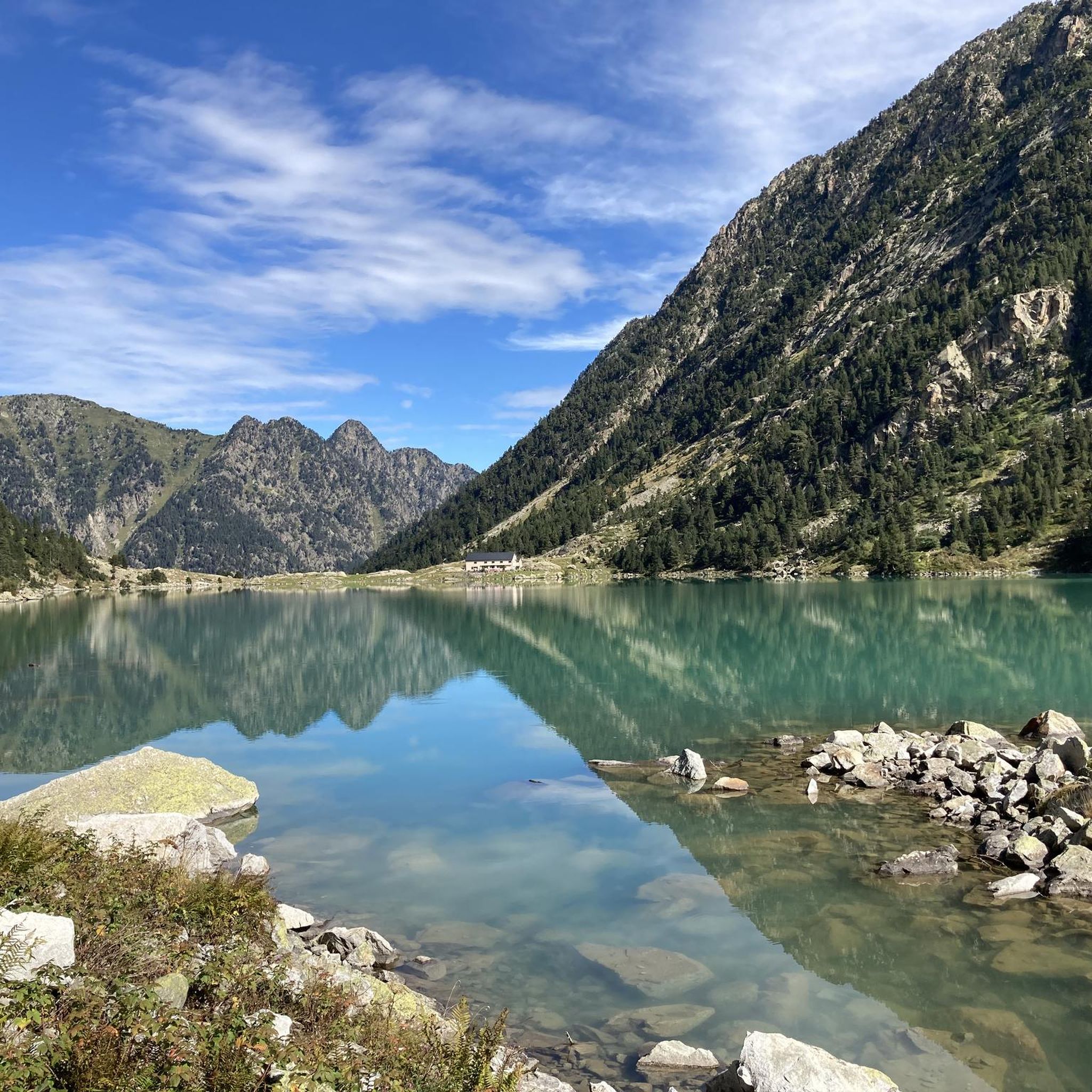
Mountaineering routes around Lac de Gaube are situated in the French Pyrenees, characterized by high-altitude lakes, rugged mountain terrain, and dense pine forests. The region features significant elevation changes, with routes often leading to panoramic viewpoints and past glacial valleys. This area provides a diverse landscape for mountaineering, ranging from lakeside paths to challenging ascents towards higher peaks.
Best mountaineering routes around Lac de Gaube
- The most popular mountaineering route is Lakeside Hotel – Lake Gaube loop from Parking du Puntas, a 4.1 miles (6.6 km) trail that takes 2 hours 8 minutes to complete, offering views of the lake and surrounding peaks.
- Another top favourite among local mountaineers is Pont de la Pourtère – Marcadau Plateau loop from Pont d'Espagne, a moderate 5.0 miles (8.0 km) path. This route traverses the scenic Marcadau Plateau, known for its open landscapes and river crossings.
- Local mountaineers also love the Lake Gaube – Pont d'Espagne (Spanish Bridge) loop from Parking du Puntas, a 11.8 miles (19.0 km) trail leading through varied mountain terrain, often completed in about 7 hours 40 minutes.
- Mountaineering around Lac de Gaube is defined by high mountain lakes, challenging ascents, and forested valleys. The network offers options for both moderate and difficult ability levels.
- The routes in Lac de Gaube are highly rated by the komoot community with an average score of 4.4 stars from more than 20 reviews. More than 100 mountaineers have used komoot to explore Lac de Gaube's varied terrain.
Last updated: July 3, 2026
4.9
(7)
19
hikers
6.64km
02:09
290m
290m
Moderate mountaineering route. Good fitness required. Easily-accessible paths. Suitable for all skill levels.
4.4
(5)
12
hikers
8.03km
02:15
160m
160m
Moderate mountaineering route. Good fitness required. Easily-accessible paths. Suitable for all skill levels.

Sign up for free
4
hikers
18.4km
07:32
1,160m
1,160m
Hard mountaineering route. Very good fitness required. Sure-footedness, sturdy shoes and alpine experience required.
5
hikers
Hard mountaineering route. Very good fitness required. Sure-footedness, sturdy shoes and alpine experience required.
4.3
(4)
14
hikers
14.7km
04:52
700m
700m
Moderate mountaineering route. Good fitness required. Easily-accessible paths. Suitable for all skill levels.
Get access to more routes and recommendations from other explorers.
Sign up for free
Already have an account?
Our route recommendations are based on thousands of hikes, rides, and runs completed by other people on komoot.
Start today with a free account
Your next adventure awaits.
Login or Signup

Tips from the Community

The GR10 continues towards the Baysselance refuge.
0
0
At the foot of the giant of the Pyrenees, the Vignemale
0
0

Beautiful plateau with the meandering Gade de Marcadau running through it.
0
0

So beautiful and peaceful, and in the background the Vignemale
0
0

Beautiful view from this elevated hut
0
0


The Vignemale is imposing and eye-catching. Its glacier has become so small, its days are unfortunately numbered. This small cirque is very pretty, but getting there still requires good physical condition.
1
0
Respect the place, over several years I have seen this place deteriorate.
0
0
Frequently Asked Questions
What is the overall difficulty level of mountaineering routes around Lac de Gaube?
The mountaineering routes in the Lac de Gaube region offer a mix of challenges. You'll find 5 moderate routes and 6 difficult routes, catering to various experience levels. The area is known for significant elevation changes and rugged mountain terrain.
Are there any circular mountaineering routes available near Lac de Gaube?
Yes, several routes are circular. For a moderate option, consider the Pont de la Pourtère – Marcadau Plateau loop from Pont d'Espagne, which is about 8.0 km. A more challenging circular route is the Lake Gaube – Pont d'Espagne (Spanish Bridge) loop from Parking du Puntas, covering 19.0 km.
What is the best season for mountaineering around Lac de Gaube?
The best season for mountaineering around Lac de Gaube is typically from late spring to early autumn (June to September). During these months, the weather is generally more stable, and trails are free of snow, making higher-altitude routes accessible. Always check local weather forecasts before heading out.
Are there any routes that feature waterfalls near Lac de Gaube?
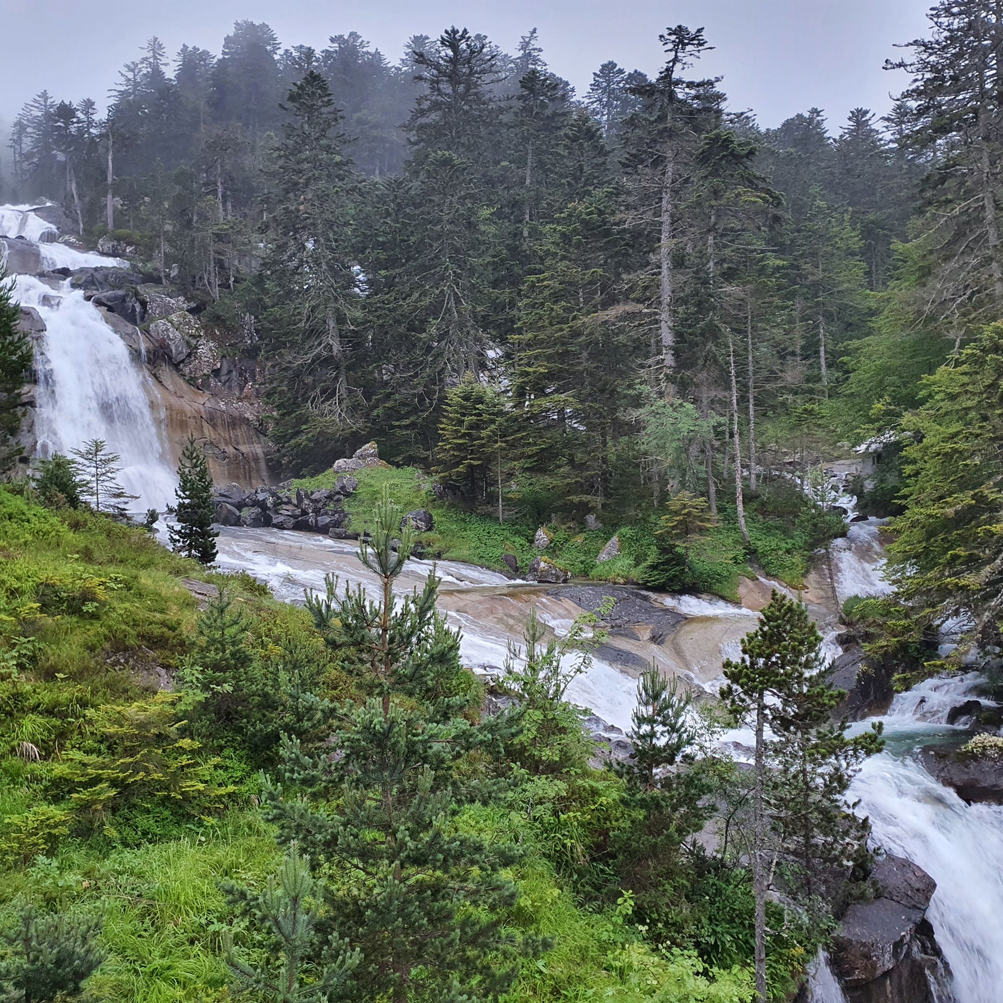
Yes, the Boussès Waterfall – Lake Gaube loop from Cauterets is a moderate 14.7 km route that includes the scenic Boussès Waterfall, offering a beautiful natural highlight along the way.
What are the parking options for accessing mountaineering routes around Lac de Gaube?
Many routes, such as the popular Lakeside Hotel – Lake Gaube loop, start from Parking du Puntas. Another common starting point with parking is Pont d'Espagne, which serves routes like the Pont de la Pourtère – Marcadau Plateau loop. It's advisable to arrive early during peak season as parking can fill up quickly.
Are there any advanced or challenging mountaineering routes in the area?
Absolutely. For experienced mountaineers, the Bayssellance Hut – Summit of Vignemale loop from Refuge des Oulettes de Gaube offers a demanding 16.0 km journey with significant elevation gain, leading towards the prominent Vignemale peak. The Lake Gaube – Pont d'Espagne loop is also a difficult, longer option.
What do other mountaineers enjoy most about the routes in Lac de Gaube?
The mountaineering routes around Lac de Gaube are highly rated by the komoot community, with an average score of 4.4 stars from over 20 reviews. Users frequently praise the stunning high-altitude lakes, the rugged beauty of the Pyrenean landscape, and the diverse terrain ranging from dense pine forests to open glacial valleys.
Can I find routes suitable for a full day of mountaineering?
Yes, several routes are ideal for a full day's adventure. The Lake Gaube – Pont d'Espagne (Spanish Bridge) loop from Parking du Puntas is a difficult 19.0 km route that typically takes around 7 hours 40 minutes. For an even longer and more challenging day, the Bayssellance Hut – Summit of Vignemale loop is a 16.0 km route that can take over 9 hours.
Are there any beginner-friendly mountaineering options around Lac de Gaube?
While many routes involve significant elevation, some moderate options are suitable for those with a good fitness level and some hiking experience. The Lakeside Hotel – Lake Gaube loop from Parking du Puntas is a shorter, moderate 6.6 km route that offers beautiful views without extreme difficulty.
What kind of terrain can I expect on mountaineering routes in this region?
The terrain around Lac de Gaube is diverse, featuring rugged mountain paths, rocky sections, and trails through dense pine forests. You'll encounter significant elevation changes, leading through glacial valleys and past high-altitude lakes. Some routes may involve river crossings or exposed sections, especially at higher elevations.
Are there any specific permits or regulations I should be aware of for mountaineering in Lac de Gaube?
Lac de Gaube is located within the Pyrenees National Park. While general hiking does not typically require specific permits, it's always recommended to check the official Pyrenees National Park website for any current regulations, protected areas, or specific rules regarding bivouacking, camping, or access to certain zones, especially if you plan to venture off marked trails or into sensitive ecological areas.
How many mountaineering routes are available in the Lac de Gaube area?
There are over 10 dedicated mountaineering routes available around Lac de Gaube, offering a variety of distances and difficulty levels to explore the stunning Pyrenean landscape.
Most popular routes around Lac de Gaube

Get inspired with the komoot mobile app


Explore more
Browse the best Mountain Hikes & Routes in other regions.
