The best running trails around Lac de Port Bielh
5.0
(4)
2,497
runners
60
runs
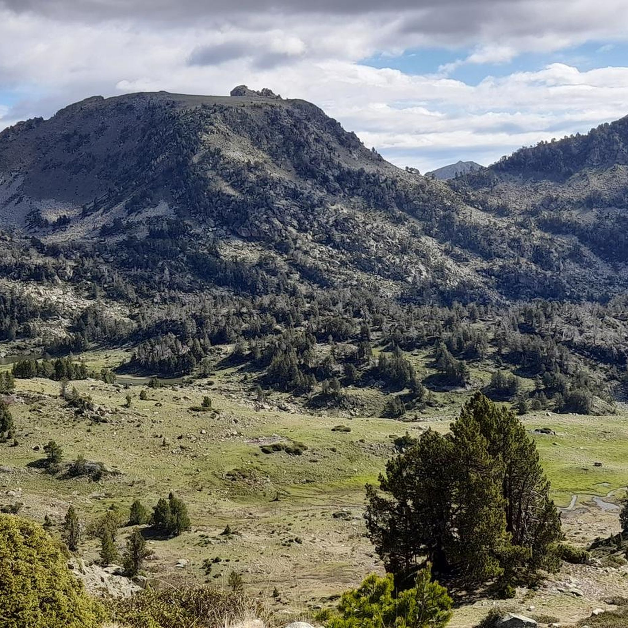
Jogging routes around Lac de Port Bielh are set within a high-mountain environment in the French Pyrénées, characterized by a glacial lake and dramatic mountain scenery. The terrain is largely mineral and rocky, with significant elevation gains, making it suitable for trail running rather than casual jogging. This area, part of the granitic Néouvielle massif, offers challenging paths through pristine wilderness.
Best jogging routes around Lac de Port Bielh
- The most popular jogging route is Stage 2: La Mongie to…
Last updated: July 4, 2026
42
runners
47.7km
08:29
3,040m
3,040m
Hard run. Very good fitness required. Sure-footedness, sturdy shoes and alpine experience required.
32
runners
43.1km
06:28
2,020m
3,240m
Hard run. Very good fitness required. Sure-footedness, sturdy shoes and alpine experience required.

Sign up for free
251
runners
19.1km
02:36
1,000m
1,000m
Hard run. Very good fitness required. Mostly paved surfaces. Suitable for all skill levels.
147
runners
22.2km
03:47
1,410m
1,410m
Hard run. Very good fitness required. Sure-footedness, sturdy shoes and alpine experience required.
62
runners
11.2km
01:55
520m
530m
Hard run. Very good fitness required. Sure-footedness, sturdy shoes and alpine experience required.
Get access to more routes and recommendations from other explorers.
Sign up for free
Already have an account?
Our route recommendations are based on thousands of hikes, rides, and runs completed by other people on komoot.
Start today with a free account
Your next adventure awaits.
Login or Signup
Tips from the Community

There you'll find expert advice on what to do next on your hikes. If you stay the evening, the dining room is welcoming and the meals are delicious and plentiful. The nearby bivouac area can accommodate around ten tents.
0
0

An amazing view, with the added bonus of some spectacular fine dining (book in advance for dining!)
0
0

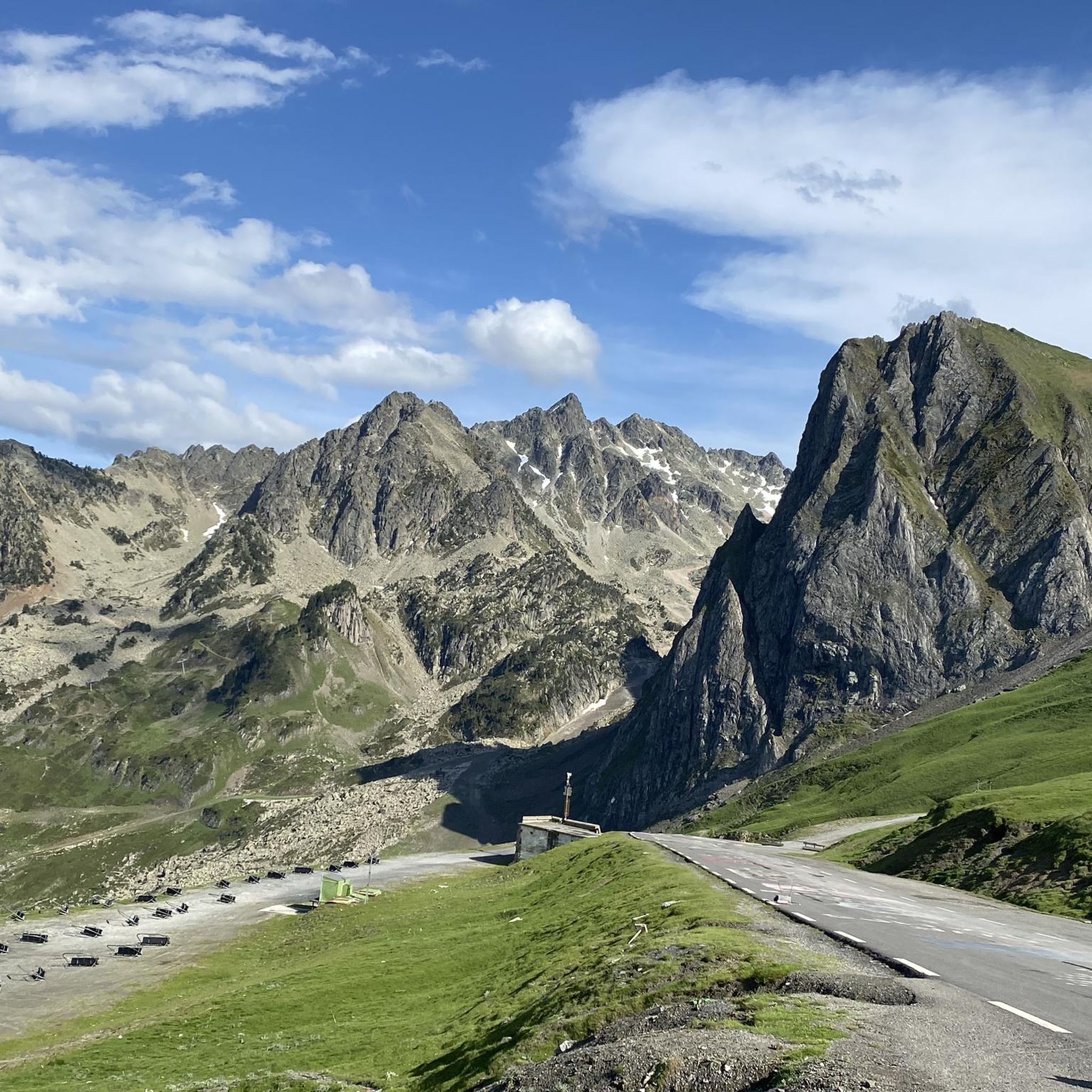
The Col du Tourmalet... a pass that was a real challenge for me! It climbs continuously for 20 km without any real respite... With the end getting a bit tougher, especially mentally!
0
0

Ascent to the summit on foot; no cable car access until 2027. No access to the restaurant or restrooms, but drinking water is available.
0
1

Octave Lapize, the first to climb it on a bike during the tour. Check out the history, it's unmissable.
0
0

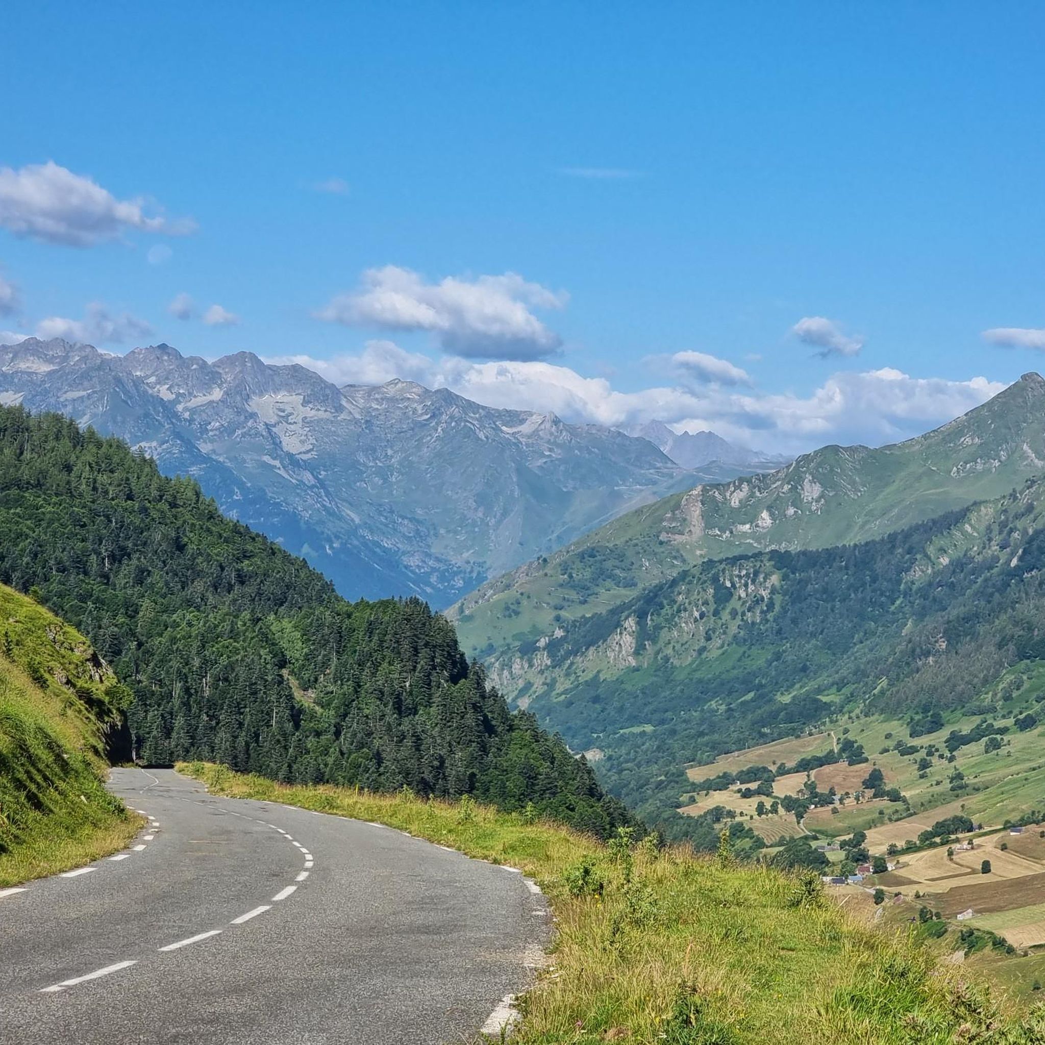
Difficult pass at first, especially in the heat. Easier after the first third. Be careful of the unlit tunnel 1 km from the summit. For added peace and quiet, the road leading up to the pass is closed to traffic from 4 p.m. to 6 p.m.
0
0

Do it in the evening for the sunset, it's magnificent or conversely to admire the sunrise. The night of stars is magnificent! 🤩
0
1

Frequently Asked Questions
What kind of running routes can I expect around Lac de Port Bielh?
The terrain around Lac de Port Bielh is primarily suited for challenging trail running and strenuous hiking, rather than casual jogging. You'll find high-mountain environments within the granitic Néouvielle massif, featuring rocky paths, significant elevation gains, and pristine glacial lakes. These routes demand good fitness and sure-footedness.
Are there any easy or beginner-friendly jogging routes in the Lac de Port Bielh area?
The Lac de Port Bielh area is characterized by its rugged, high-mountain terrain, making most routes quite challenging. While there are a few routes rated as 'moderate', the majority (63 out of 69) are classified as 'difficult'. Beginners or those looking for casual, flat jogging paths may find the area too demanding. It's best suited for experienced trail runners.
What are some of the most popular running trails in this region?
Among the most popular and challenging options is Stage 2: La Mongie to Soulom — Grand Raid des Pyrénées, a demanding 43.1 km trail. Another favorite is the Tourmalet Pass – Pic du Midi de Bigorre loop from Skitech, offering panoramic views over 19.1 km. For a slightly shorter but equally challenging experience, consider the Tourmalet Pass – Col du Tourmalet loop from Skitech, which covers 22.2 km through high-altitude passes.
What kind of views and natural features can I see along the running routes?
The routes offer breathtaking views of the granitic Néouvielle massif, with its dramatic peaks like Pic d'Aygues Cluses and Pic de Bastan reflected in the clear glacial waters. You'll encounter over 70 lakes and ponds, including Lac de l'Oule and the smaller lakes of Bastan, each with unique colors. The area is also home to unique flora like the hooked pine, adapted to the high-mountain environment.
Are there any circular running routes available?
Yes, several routes in the area are loops. For instance, the Tourmalet Pass – Pic du Midi de Bigorre loop from Skitech and the Tourmalet Pass – Col du Tourmalet loop from Skitech are popular circular options. Another challenging loop is the Bastan Refuge loop from Col de Portet, which covers 10.75 km.
What do other runners say about the trails around Lac de Port Bielh?
The running routes in Lac de Port Bielh are highly rated by the komoot community, with an average score of 4.1 stars from 10 reviews. Runners often praise the stunning high-mountain scenery, the sense of untouched wilderness, and the challenging nature of the trails, which provide a rewarding experience for those seeking strenuous outdoor activities.
Is the Lac de Port Bielh area suitable for family running or hiking?
Given the challenging nature of the terrain, with significant elevation gains and rocky paths, most routes around Lac de Port Bielh are not ideal for casual family jogging or young children. They require good fitness and sure-footedness. Families looking for easier, more accessible paths might find other areas in the Pyrénées more suitable.
Can I bring my dog on the running trails?
Lac de Port Bielh is located within the Néouvielle National Nature Reserve. While dogs are generally allowed in national parks on a leash, specific regulations may apply to nature reserves. It's advisable to check the current rules for the Néouvielle National Nature Reserve regarding dogs before planning your run to ensure compliance and protect the unique ecosystem.
What is the best season to go trail running around Lac de Port Bielh?
The best time for trail running around Lac de Port Bielh is typically during the warmer months, from late spring to early autumn (roughly June to September). During this period, the snow has usually melted, and the weather conditions are more favorable for high-mountain activities. Winter brings snow and ice, making the trails much more challenging and requiring specialized equipment and alpine experience.
Are there any facilities like parking or public transport near the trailheads?
Access to many trails, including those leading to Lac de Port Bielh, often starts from parking lots such as Artigusse. However, public transport options directly to high-mountain trailheads can be limited. It's recommended to research specific access points and transport availability for your chosen route in advance, as personal vehicles are often the most convenient way to reach these remote starting points.
What should I bring for a trail run in the Lac de Port Bielh region?
Given the high-mountain, challenging terrain, you should be well-prepared. Essential items include appropriate trail running shoes with good grip, layers of clothing suitable for varying mountain weather, sufficient water and snacks, a map or GPS device (like komoot's app), sun protection, and a first-aid kit. For longer or more remote routes, consider bringing emergency shelter and extra warm clothing.
Most popular routes around Lac de Port Bielh

Get inspired with the komoot mobile app


Explore more
Browse the best Running Trails & Routes in other regions.
