The best running trails around Shrewton
5.0
(7)
738
runners
18
runs
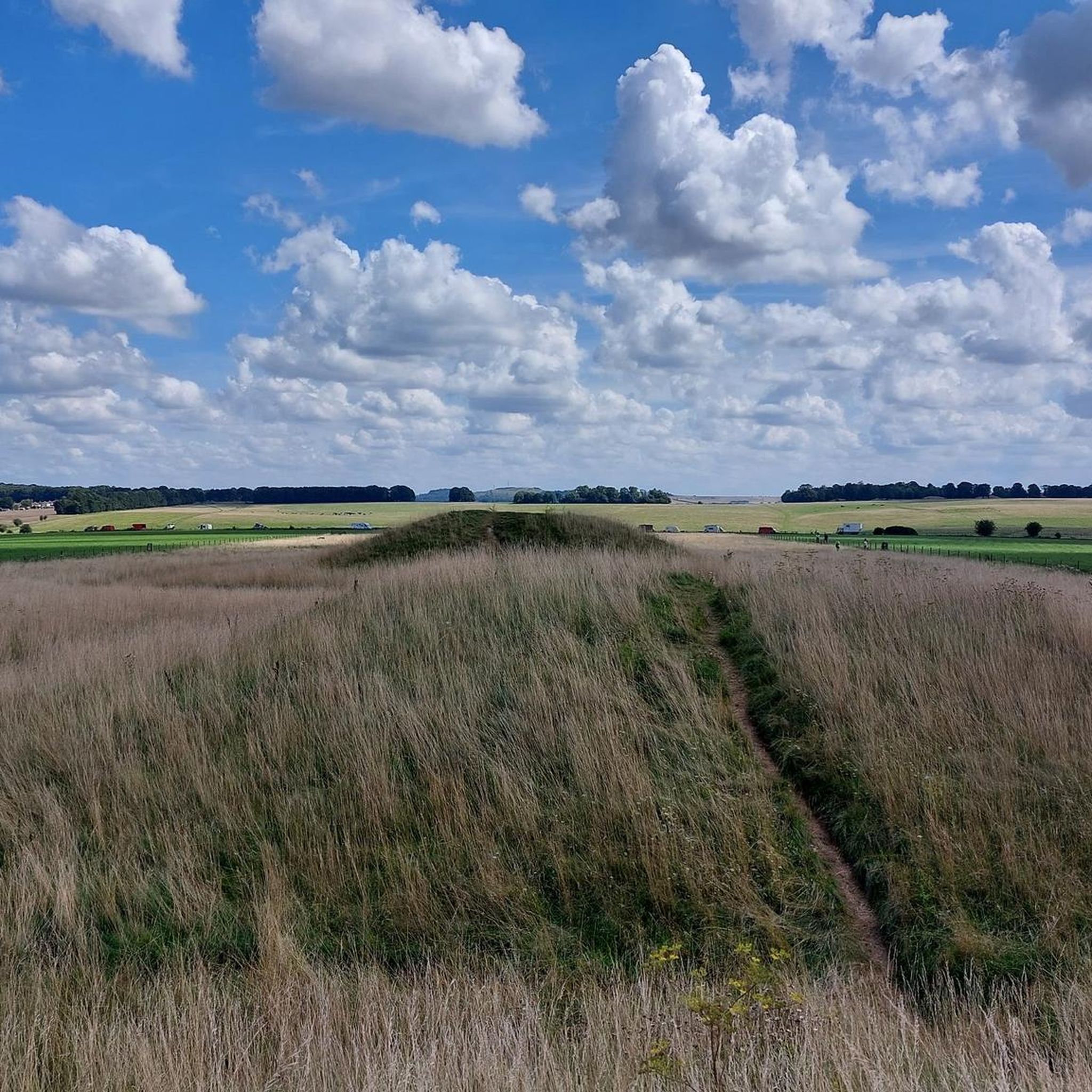
Jogging routes around Shrewton are situated in a valley on Salisbury Plain, Wiltshire, characterized by chalk downland that offers expansive views. The area features a mix of fields, woods, and open downland, providing diverse scenery for running. The River Till, a winterbourne, flows through the village, contributing to the valley's natural character. The landscape also incorporates historical elements, including Bronze Age burial mounds, which are often integrated into running paths.
Best jogging routes around Shrewton
- The most popular jogging route is Running loop from Appleford School, an 8.1 miles (13.1 km) trail that takes about 1 hour to complete. This moderate route offers varied terrain typical of the Salisbury Plain.
- Another top favourite among local runners is Crescent Copse loop from Shrewton, a moderate 7.1 miles (11.5 km) path. This route winds through open fields and sections of chalk downland.
- Local runners also love the Bustard Tea Rooms loop from Shrewton, a 7.6 miles (12.2 km) trail leading through the valley and surrounding fields, often completed in about 50 minutes.
- Jogging around Shrewton is defined by chalk downland, open fields, and ancient burial mounds. The network offers options for different ability levels, from easy paths to more challenging routes with elevation gain.
- The routes in Shrewton are highly rated by the komoot community with an average score of 5.0 stars from 5 reviews. More than 800 runners have used komoot to explore Shrewton's varied terrain.
Last updated: October 13, 2026
37
runners
10.2km
01:14
80m
80m
Moderate run. Good fitness required. Mostly paved surfaces. Suitable for all skill levels.
5
runners
10.8km
01:10
80m
80m
Moderate run. Good fitness required. Mostly paved surfaces. Suitable for all skill levels.

12
runners
7.57km
00:50
50m
50m
Moderate run. Good fitness required. Mostly paved surfaces. Suitable for all skill levels.
7
runners
Moderate run. Good fitness required. Mostly paved surfaces. Suitable for all skill levels.
5
runners
8.36km
00:53
80m
80m
Moderate run. Good fitness required. Mostly paved surfaces. Suitable for all skill levels.
Get access to more routes and recommendations from other explorers.
Already have an account?
Our route recommendations are based on thousands of hikes, rides, and runs completed by other people on komoot.
Start today with a free account
Your next adventure awaits.
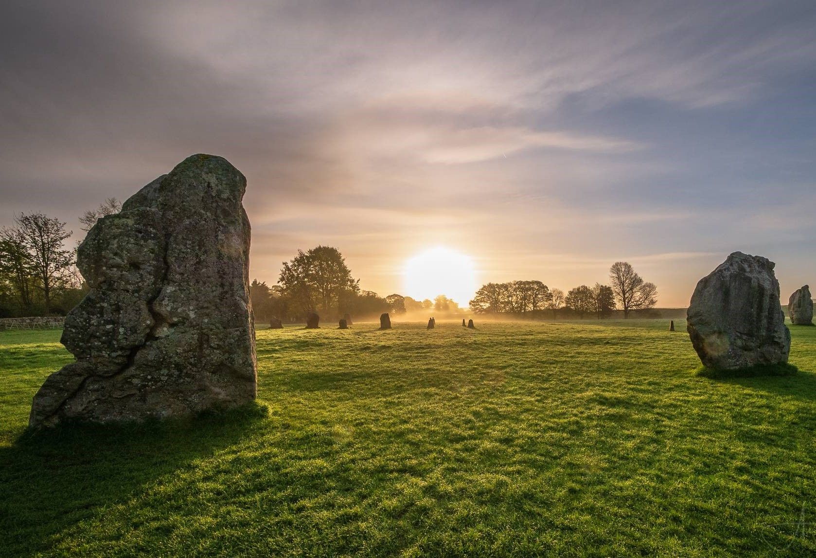
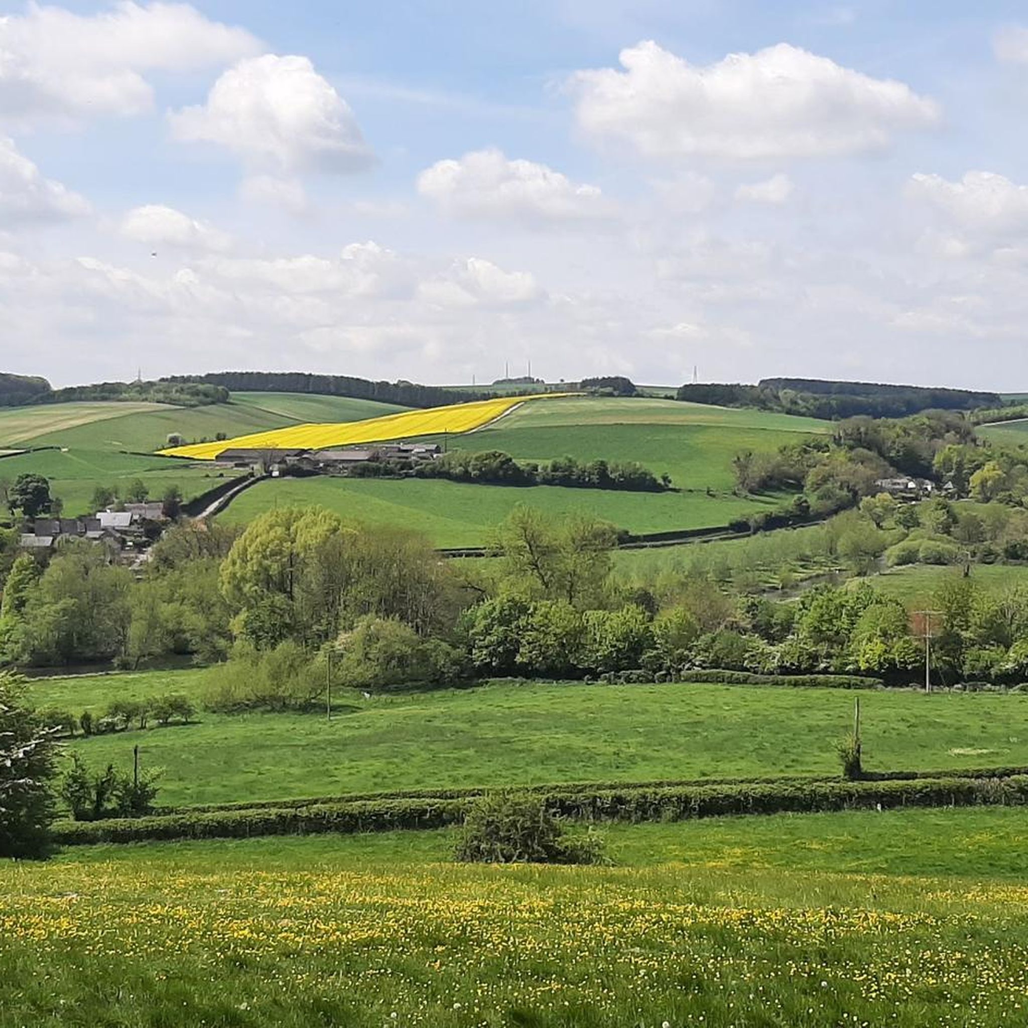
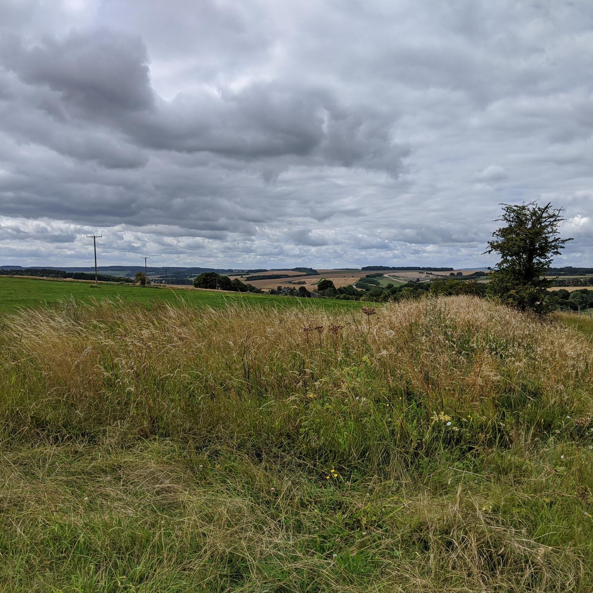

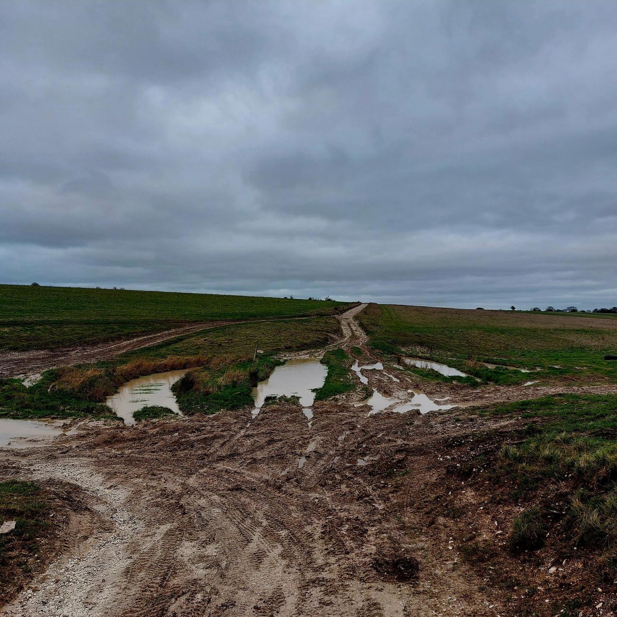
Other adventures around Shrewton

Tips from the Community

An audio guide (also in German) is often available on board
5
0
is the central arrival point for all bus travelers.
6
0
impressive views of Stonehenge, the world-famous prehistoric monument
6
0
regular shuttle bus
5
0
Besucherzentrum inklusive Ausstellung und neolithischen Häusern etwa 45 bis 60 Minuten
5
0
Frequently Asked Questions
How many running routes are available around Shrewton?
There are over 20 running routes available around Shrewton, catering to various skill levels. You'll find a mix of easy, moderate, and challenging paths to explore the Salisbury Plain.
What kind of terrain can I expect on the running trails in Shrewton?
The running trails in Shrewton are primarily characterized by chalk downland, offering expansive views. You'll encounter a diverse mix of open fields, wooded sections, and the unique landscape shaped by the River Till valley. Some routes feature mostly paved surfaces, while others offer more challenging, natural terrain.
Are there any historical landmarks or points of interest to see while running near Shrewton?
Yes, Shrewton's historical context adds a unique dimension to its running routes. Many paths integrate ancient features like Bronze Age burial mounds (tumuli). You can run past significant archaeological sites such as the Cursus Barrows and Stonehenge is only about 6 miles away, with footpaths leading through fields dotted with these impressive historical sites. Woodhenge is also in the vicinity.
Can I find family-friendly running paths in the Shrewton area?
While specific 'family-friendly' designations aren't always explicit, Shrewton offers a range of routes, including some easier options. The village itself has a self-guided 'Shrewton Village Walk' of about 1.5 miles, which is a lighter option for exploration. For longer runs, consider routes with less elevation gain, such as some of the easier-rated trails available.
Are the running routes around Shrewton suitable for dogs?
Many of the running routes around Shrewton, especially those traversing open downland and fields, are suitable for dogs. However, it's always advisable to keep dogs under control, particularly when passing through farmland or near livestock, and to check local signage for any restrictions.
Where can I find parking for the running trails in Shrewton?
Parking availability varies by route. Many local routes, especially those starting from the village, will have nearby parking options. For specific routes like the Running loop from Appleford School, parking is often available near the starting point or in designated village areas. It's recommended to check the route details on komoot for specific parking information.
What are the typical distances and difficulties of the running routes?
The running routes around Shrewton offer a good variety. Distances typically range from shorter loops to over 15k. For example, the Running loop from Appleford School is 8.1 miles (13.1 km) and moderate, while the Crescent Copse loop from Shrewton is 7.1 miles (11.5 km) and also moderate. You'll find options from easy paths to more challenging routes with significant elevation gain.
Are there any circular running routes available in Shrewton?
Yes, many of the popular running routes around Shrewton are circular, offering convenient starting and ending points. Examples include the Running loop from Appleford School, the Crescent Copse loop from Shrewton, and the Bustard Tea Rooms loop from Shrewton. The Shrewton Running Club also highlights loops like 'The Cursus loop' and 'The Cleeve loop'.
What do other runners say about the trails in Shrewton?
The running routes in Shrewton are highly rated by the komoot community, with an impressive average score of 5.0 stars from 5 reviews. Over 800 runners have used komoot to explore Shrewton's varied terrain, often praising the diverse scenery and the sense of open space on the chalk downland.
Is there a local running community or club in Shrewton?
Yes, Shrewton has an active local running community. The Shrewton Running Club provides numerous routes for its members, ranging from 0-5k to over 15k, with varying elevations and technical difficulties. They also organize social runs and longer training sessions, fostering a supportive environment for runners.
What is the best time of year to go running in Shrewton?
Shrewton offers good running conditions throughout the year, but each season has its unique aspects. The River Till, a significant natural feature, is a winterbourne, meaning it typically flows in winter and dries up in summer. This can affect trail conditions in the valley. Spring and autumn offer pleasant temperatures and vibrant scenery, while summer provides longer daylight hours. Winter runs can be invigorating, but trails might be muddier.
Are there any places to stop for refreshments after a run in Shrewton?
Yes, Shrewton village itself offers options for refreshments. The Bustard Tea Rooms loop from Shrewton, for example, suggests a route that could lead you near a place for a post-run treat. The village has local amenities where you can refuel after your run.
How does the River Till influence the running landscape in Shrewton?
The River Till, a winterbourne that flows through Shrewton, contributes significantly to the valley's character. While it typically flows in winter and dries up in summer, its presence shapes the local topography, creating a distinct valley environment that runners can experience. Routes often follow its course, offering varied scenery and sometimes different ground conditions depending on the season.
Most popular attractions around Shrewton

Get inspired with the komoot mobile app


Explore more
Browse the best Running Trails & Routes in other regions.
