The best walks and hikes around Étang de Biguglia
4.3
(731)
4,842
hikers
157
hikes
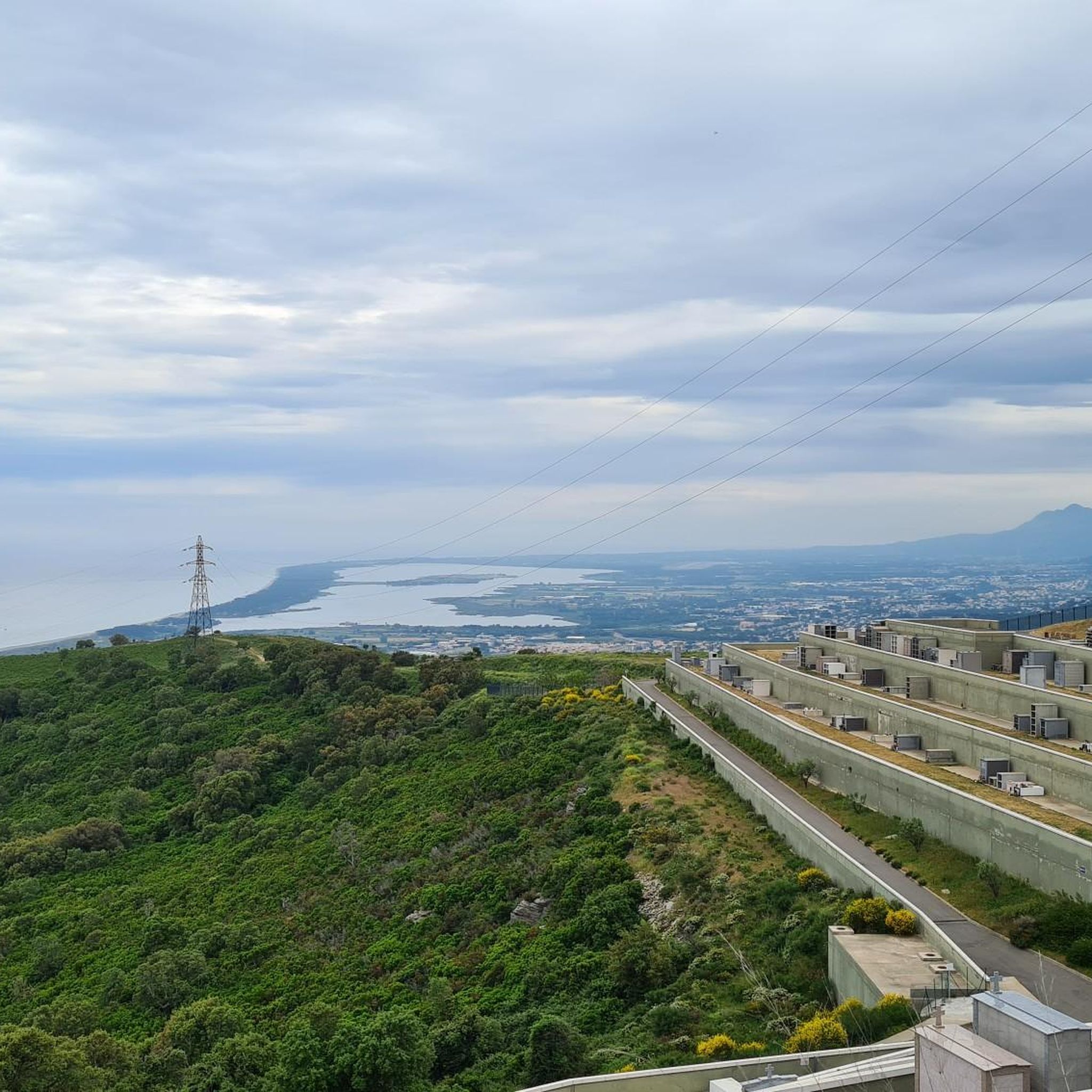
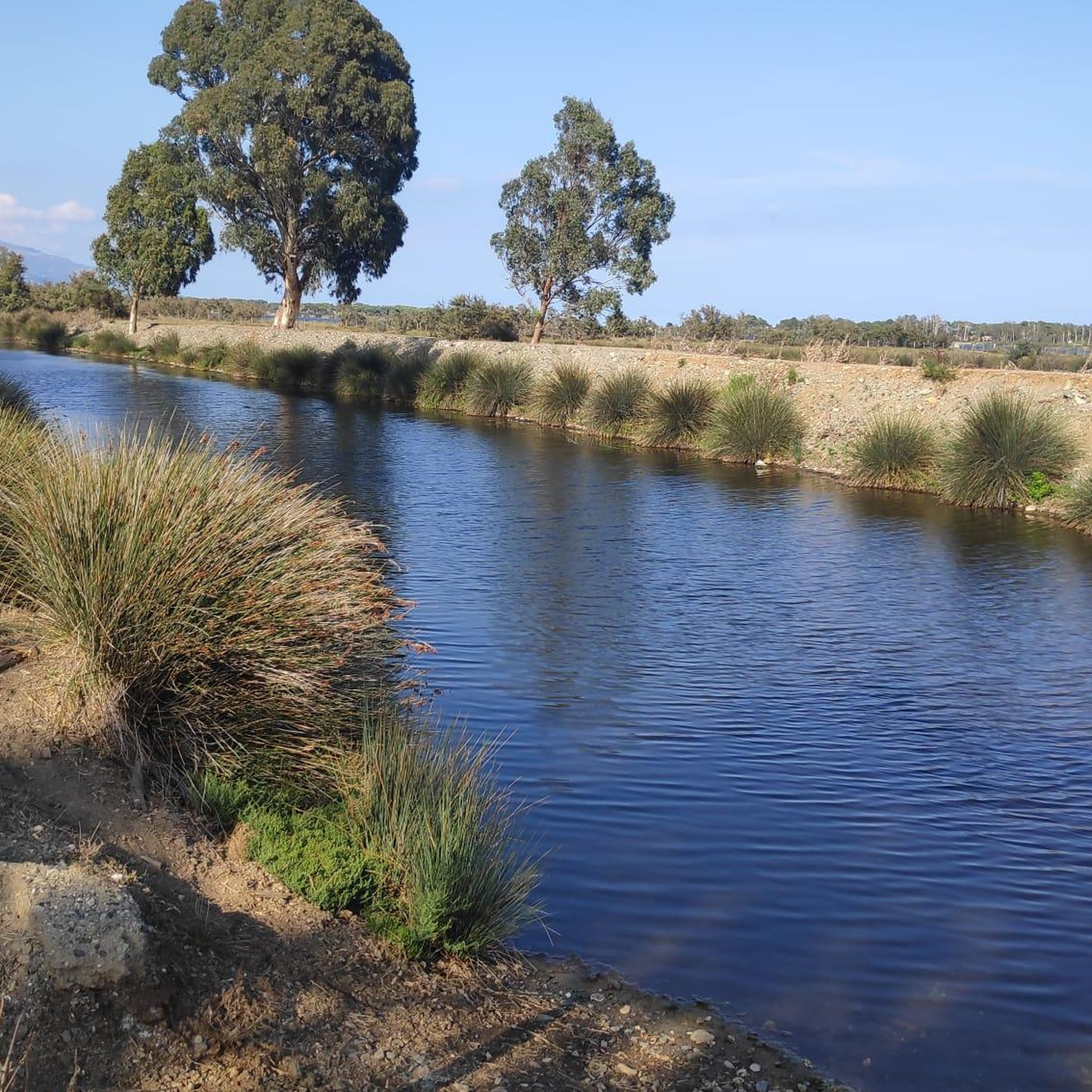
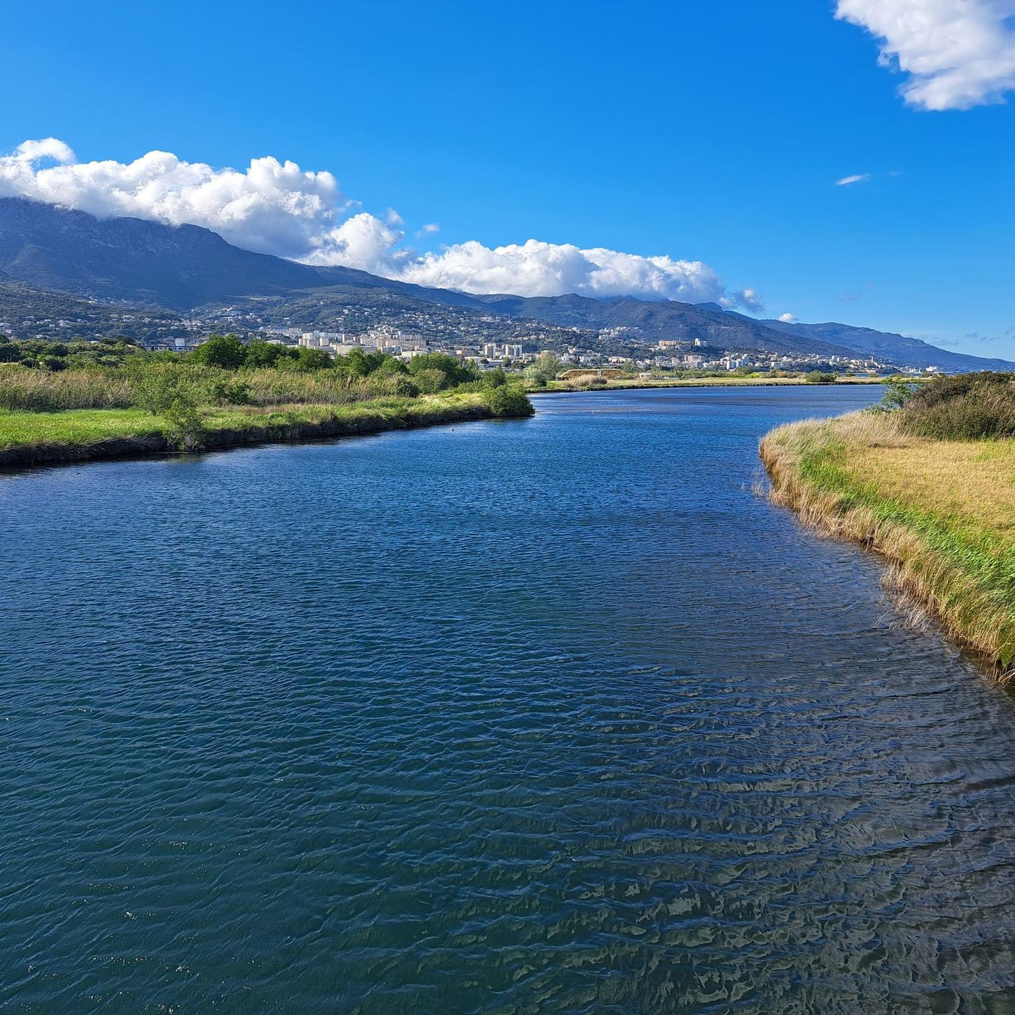
Hiking around Étang de Biguglia offers trails through Corsica's largest wetland, a shallow coastal lagoon separated from the Tyrrhenian Sea by the Lido de la Marana. The terrain is characterized by minimal elevation gain, featuring reed beds, salt meadows, and scattered trees like tamarisks and pines. This natural reserve provides a unique blend of coastal and wetland environments, with paths often leading along the water's edge. The landscape is generally flat, making many routes accessible for various fitness levels.
Best hiking trails around Étang de Biguglia
- The most popular hiking route is Plage de la Marana loop from Réserve naturelle de l'étang de Biguglia, a 5.6 miles (9.0 km) trail that takes 2 hours 15 minutes to complete. This moderate path offers views of the Tyrrhenian Sea and the coastal strip.
- Another top favourite among local hikers is Plage de la Marana loop from Pineto, a moderate 7.4 miles (12.0 km) path. This route follows the Lido de la Marana, providing a coastal walking experience.
- Local hikers also love the Route de la Lagune loop from Stade Armand Cesari, a 7.9 miles (12.6 km) trail leading through the lagoon's edge, often completed in about 3 hours 12 minutes.
- Hiking around Étang de Biguglia is defined by coastal paths, wetland environments, and the Lido de la Marana. The network offers options for easy, moderate, and difficult routes, catering to different ability levels.
- The routes in Étang de Biguglia are highly rated by the komoot community with an average score of 4.3 stars from over 600 reviews. More than 4000 hikers have used komoot to explore Étang de Biguglia's varied terrain.
Last updated: July 9, 2026
4.4
(5)
20
hikers
8.75km
02:12
10m
10m
Moderate hike. Good fitness required. Easily-accessible paths. Suitable for all skill levels.
5.0
(2)
22
hikers
12.5km
03:10
20m
20m
Moderate hike. Good fitness required. Easily-accessible paths. Suitable for all skill levels.

Sign up for free
4.8
(4)
26
hikers
24.8km
06:30
190m
190m
Hard hike. Very good fitness required. Easily-accessible paths. Suitable for all skill levels.
17
hikers
6.34km
01:36
10m
10m
Easy hike. Great for any fitness level. Easily-accessible paths. Suitable for all skill levels.
5.0
(1)
11
hikers
5.06km
01:16
0m
0m
Easy hike. Great for any fitness level. Easily-accessible paths. Suitable for all skill levels.
Get access to more routes and recommendations from other explorers.
Sign up for free
Already have an account?
Our route recommendations are based on thousands of hikes, rides, and runs completed by other people on komoot.
Start today with a free account
Your next adventure awaits.
Login or Signup

Tips from the Community

waiting for the ferry
0
0

Very beautiful, especially in the evening.
0
0

Bastia's Rue Napoléon is a charming, completely car-free pedestrian zone that opened in 2013 and stretches between Place Saint‑Nicolas and the Vieux Port. It impresses with: 🤝 Historic ambience: Paved with pale Brando stone, lined with pastel-colored houses with Genoese facades and stucco above the doorways. 🛍️ Lively shopping street: Numerous boutiques of local designers, souvenir shops, ice cream parlors, and cafés create a lively atmosphere. ⛪ Religious gems: Two magnificent oratories – the Oratoire Saint-Roch (1604) and the Immaculée-Conception (1609) with Baroque interiors – are located directly on the street. 🚶 Central connection: It serves as a stylish link from the lively Place St-Nicolas with its Napoleon statue down to the old harbor, ideal for a relaxed stroll. In short: Rue Napoléon is Bastia's most elegant promenade – car-free, culturally rich, and full of Mediterranean flair. Perfect for shopping, culture and relaxed enjoyment.
1
0
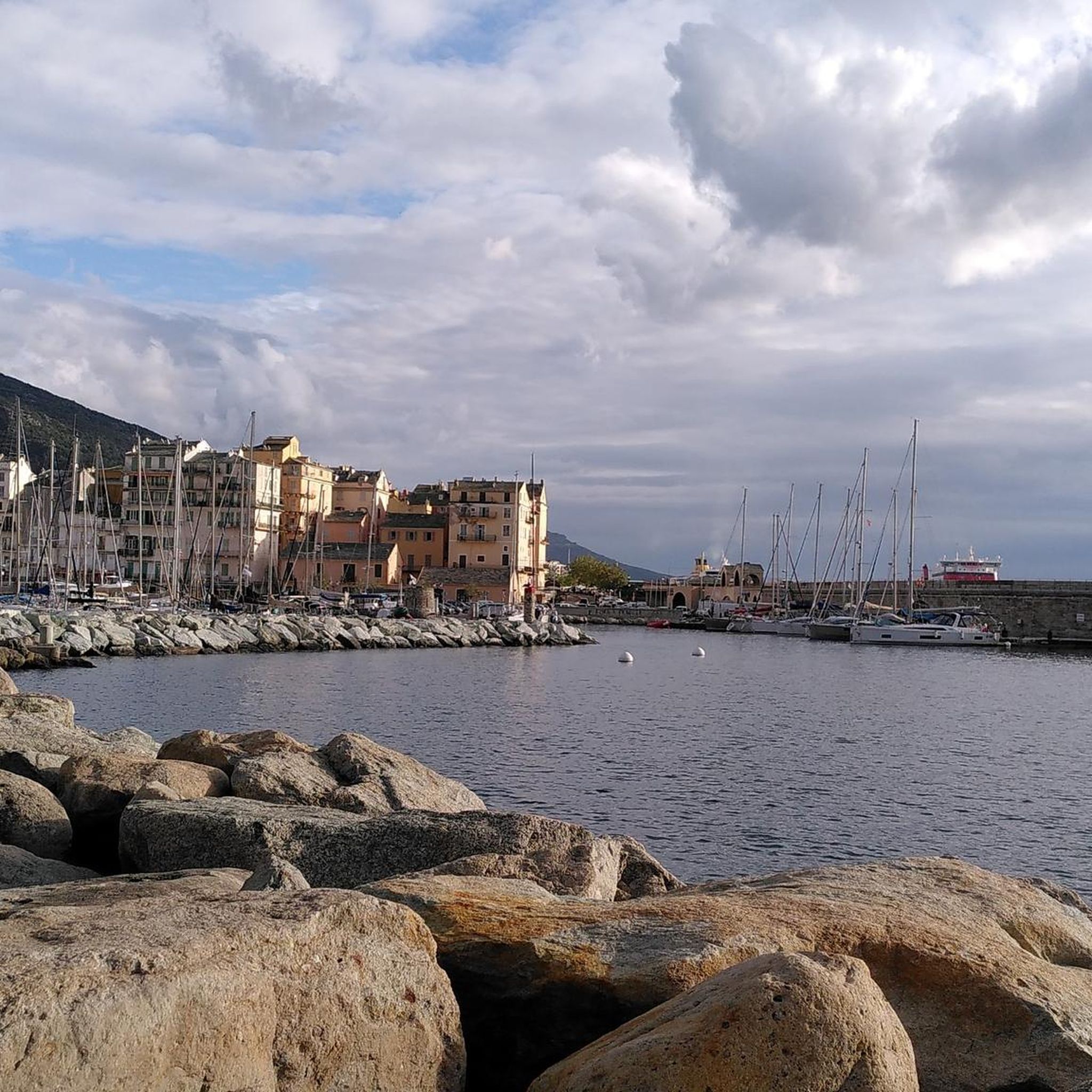
🌊 Panoramic view of the picturesque Vieux-Port with its pastel-colored houses, yachts, and lighthouse – a classic Corsican motif. View over the city: From the fortified walls and the "chemin de ronde," the view sweeps far over Terra Vecchia, Bastia's historic old town with its narrow streets and rooftops. Sea and island panorama: On clear days, the view extends as far as the Tuscan islands (Elba, Tuscan Archipelago). Quiet promenade atmosphere: Picturesque walkways along bastions such as San Gerolamo and San Carlu, surrounded by lush greenery and medieval battlements. Access & accessibility: Via stairs from the Vieux-Port up to the citadel – a short but worthwhile climb with a rewarding view.
1
0
The Cathedral of Sainte-Marie de Bastia, also known as Santa Maria Assunta, is an outstanding example of Baroque architecture in the heart of the citadel of Bastia. It was built between 1604 and 1619 on the remains of an older church and is dedicated to the Solemnity of the Assumption of the Virgin Mary. 🏛️ Architecture & History The cathedral is Baroque in style with a 19th-century neoclassical façade. Its interior features a three-aisled basilica, measuring 44.7 meters long, 23.35 meters wide, and 17.1 meters high. The choir is slightly raised and ends in a semicircular apse decorated with a radiating ceiling. A striking feature are the ceremonial hats of the bishops buried in the crypt, which hang from the choir ceiling. 🗺️ Visiting Information Address: 12 Rue Notre Dame, 20200 Bastia, France Opening Hours: Monday to Saturday: 8:30 a.m.–6:00 p.m.; Sunday: 8:30 a.m.–1:00 p.m. Special Features: The cathedral is a functioning place of worship and an important cultural heritage site in Corsica.
1
0

The church is the largest church in Corsica. It was built between 1636 and 1666.
0
0

It is one of the largest squares in Europe, lined with plane trees. It is the setting for all major events, and on Sundays there is a huge flea market across the entire square. Many cafés invite you to take a break
0
0

Beautiful view with the harbor behind
0
1
Frequently Asked Questions
How many hiking trails are available around Étang de Biguglia?
Based on komoot data, there are over 150 hiking routes around Étang de Biguglia, catering to various skill levels. You'll find a good mix of easy, moderate, and a few more challenging options.
What is the typical terrain and difficulty level for hiking around Étang de Biguglia?
The terrain around Étang de Biguglia is generally flat with minimal elevation gain, characterized by reed beds, salt meadows, and scattered trees. Many paths follow the water's edge. Most routes are classified as easy or moderate, making them accessible for a wide range of hikers.
Are there any easy or family-friendly hiking routes around Étang de Biguglia?
Yes, Étang de Biguglia offers many easy and family-friendly options. For example, the Route de la Lagune – Beach at Sunset loop from Étang de Biguglia is an easy 6.2 km hike. The region's flat terrain makes many of its 47 easy routes suitable for families and beginners.
What kind of wildlife can I expect to see while hiking around Étang de Biguglia?
Étang de Biguglia is a significant nature reserve, especially renowned for its birdlife. You can expect to spot over 200 species of aquatic birds, including vibrant pink flamingos, ospreys, marsh harriers, and kingfishers. Birdwatching is a major activity, with observation points available along the trails.
Are there any circular hiking routes around Étang de Biguglia?
Yes, many of the trails around Étang de Biguglia are circular. Popular options include the Plage de la Marana loop from Réserve naturelle de l'étang de Biguglia, which is a moderate 9 km route, and the Route de la Lagune loop from Stade Armand Cesari, a 12.6 km moderate trail.
What are some interesting landmarks or viewpoints along the hiking trails?
Along the trails, you can find several points of interest. The View of Étang de Biguglia and Écomusée du Fortin offers insights into the wetland ecosystem. You can also explore the Route de la Lagune, which provides scenic views of the lagoon.
Is Étang de Biguglia suitable for dog-friendly hikes?
While the region is a nature reserve, many trails around Étang de Biguglia are generally accessible for dogs, especially those on the Lido de la Marana. However, it's always best to keep dogs on a leash to protect the local wildlife, particularly during bird nesting seasons.
What do other hikers enjoy most about hiking in Étang de Biguglia?
The area is highly rated by the komoot community, with an average score of 4.3 stars from over 600 reviews. Reviewers often praise the peaceful wetland environment, the opportunities for birdwatching, and the accessible, flat trails that offer a unique blend of coastal and lagoon scenery.
Where can I find parking for hiking trails around Étang de Biguglia?
Parking is available at various access points around the lagoon. For instance, the Plage de la Marana loop from Parking n°2 de Pineto indicates a specific parking area. Many trailheads, especially along the Lido de la Marana, offer designated parking facilities.
What is the best time of year to hike around Étang de Biguglia?
The best time to hike is generally during spring and autumn when temperatures are milder and the bird migration is active, offering excellent birdwatching opportunities. Summer can be hot, but coastal breezes make some routes pleasant, especially in the mornings or late afternoons. Winter offers a quieter experience with different bird species.
Are there any cafes or accommodation options near the hiking trails?
While the immediate vicinity of the nature reserve focuses on natural preservation, you can find cafes, restaurants, and accommodation options in the nearby towns and villages surrounding the Étang de Biguglia, such as Biguglia itself or along the Lido de la Marana.
Are there any longer hiking routes for more experienced hikers?
While the terrain is generally flat, there are longer routes for those seeking more distance. For example, the Plage de la Marana loop from Pineto is a moderate 12 km path that follows the Lido de la Marana, providing a coastal walking experience over a longer duration.
Most popular routes around Étang de Biguglia
Most popular attractions around Étang de Biguglia

Get inspired with the komoot mobile app


Explore more
Browse the best Hikes in other regions.
