The best walks and hikes around Étang de Diane
4.6
(371)
1,753
hikers
50
hikes
Hiking trails around Étang de Diane offer diverse landscapes, from coastal paths to wetlands and maquis. The region is characterized by the expansive lake, known for its oyster and mussel production, surrounded by protected wetlands and sandy dunes. Elevation gains are generally low, with the highest points reaching just over 160 meters, making most routes accessible. Archaeological sites and the historic Tower of Diana also feature along some paths, adding cultural interest to the natural exploration.
Best hiking trails around Étang de Diane
- The most popular hiking route is Tallone Beach – Diane Tour loop from Étang de Diane, an easy 2.6 miles (4.1 km) trail that takes about 1 hour 5 minutes to complete. This route guides hikers through picturesque dunes and offers a return path along the beach.
- Another top favourite among local hikers is Étang de Diane – Maquis at Étang de Diane loop from Étang de Diane, an easy 2.2 miles (3.5 km) path. This trail explores the distinctive Corsican maquis, providing unique sensory experiences.
- Local hikers also love the View of the Étang de Biguglia – A short walk to the beach loop from Pompugliani, a 10.5 miles (17.0 km) trail leading through varied terrain with moderate elevation gain, often completed in about 4 hours 30 minutes.
- Hiking around Étang de Diane is defined by coastal paths, wetlands, and maquis, offering panoramic views of the lake and its aquatic scenery. The network provides options for different ability levels, from easy strolls to more extended moderate treks.
- The routes in Étang de Diane are highly rated by the komoot community with an average score of 4.5 stars from over 300 reviews. More than 1,500 hikers have used komoot to explore Étang de Diane's varied terrain.
Last updated: June 25, 2026
4.4
(8)
29
hikers
Easy hike. Great for any fitness level. Easily-accessible paths. Suitable for all skill levels.
4.4
(17)
84
hikers
4.20km
01:04
10m
10m
Easy hike. Great for any fitness level. Easily-accessible paths. Suitable for all skill levels.

Sign up for free
3.0
(3)
12
hikers
Moderate hike. Good fitness required. Easily-accessible paths. Suitable for all skill levels.
4.5
(4)
11
hikers
Easy hike. Great for any fitness level. Easily-accessible paths. Suitable for all skill levels.
6
hikers
11.7km
03:01
50m
50m
Moderate hike. Good fitness required. Easily-accessible paths. Suitable for all skill levels.
Get access to more routes and recommendations from other explorers.
Sign up for free
Already have an account?
Our route recommendations are based on thousands of hikes, rides, and runs completed by other people on komoot.
Start today with a free account
Your next adventure awaits.
Login or Signup
Tips from the Community

According to the information board, this is a “cabane des bergers pour transhumance”, i.e. a hut for shepherds and not a fisherman’s hut.
0
0

Never seen a laundromat standing alone on the side of the road.
0
0

Magnificent view over the forest and beach towards Torre de Diana, an old watchtower on the Étang de Diana, a lake near Aléria.
0
0
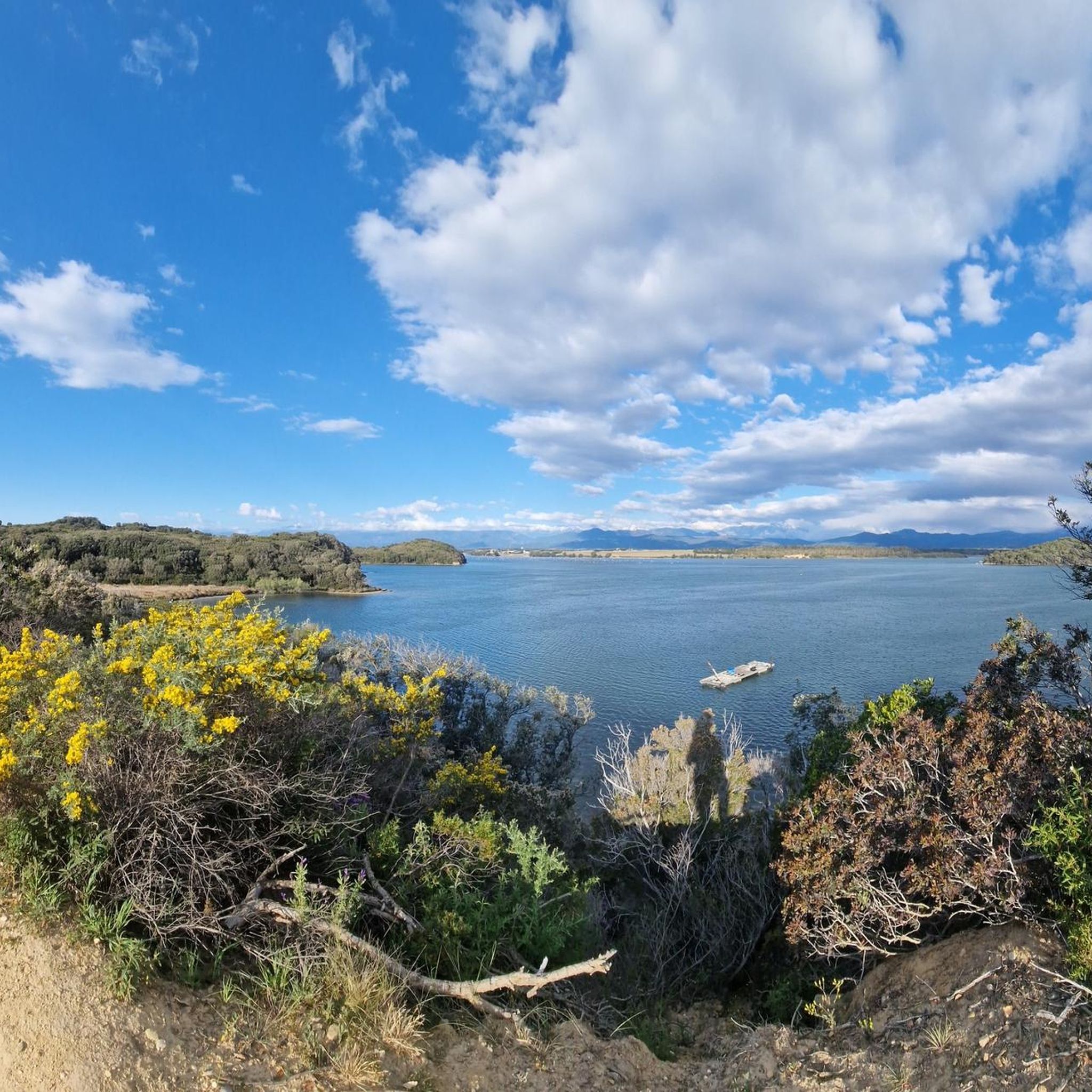
Reconstruction of an old fishing hut. A beautiful place with a fascinating view over the Étang de Diana.
0
0

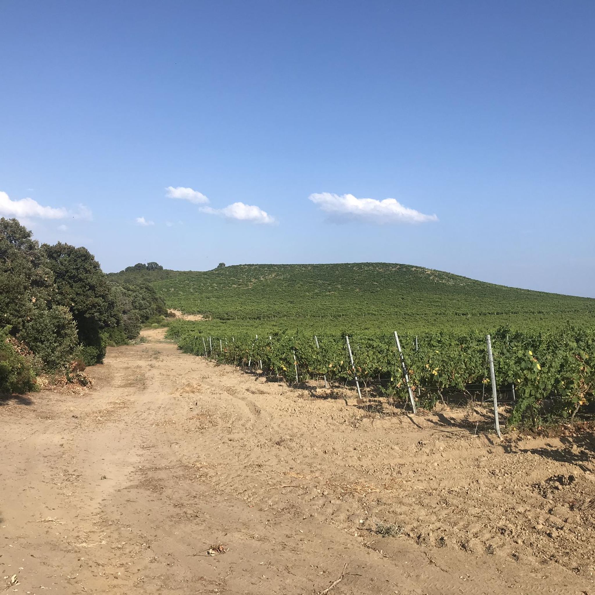
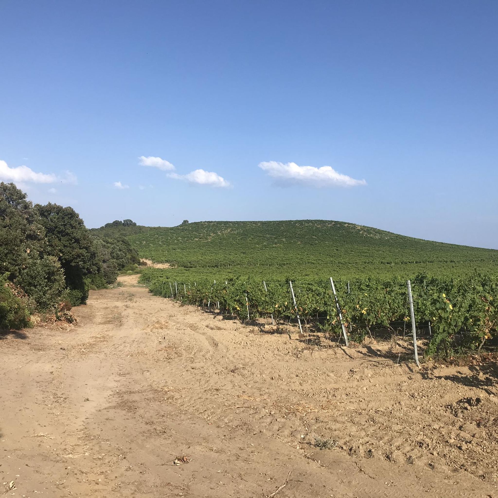
Here you can make a nice little hike. At one point the macchia has overgrown the path. Luckily there was an alternative way.
1
0

Crustaceans are farmed here on a large scale. The shore section is therefore unfortunately polluted with nets, traps, buoys and other rubbish.
1
0
Behind the tower there is a hiking trail that leads you through the typical Corsican maquis. It smells, it rustles, it spikes ;) In addition, there are always panoramic views of the Étang de Diana with its reed and water landscape.
2
1
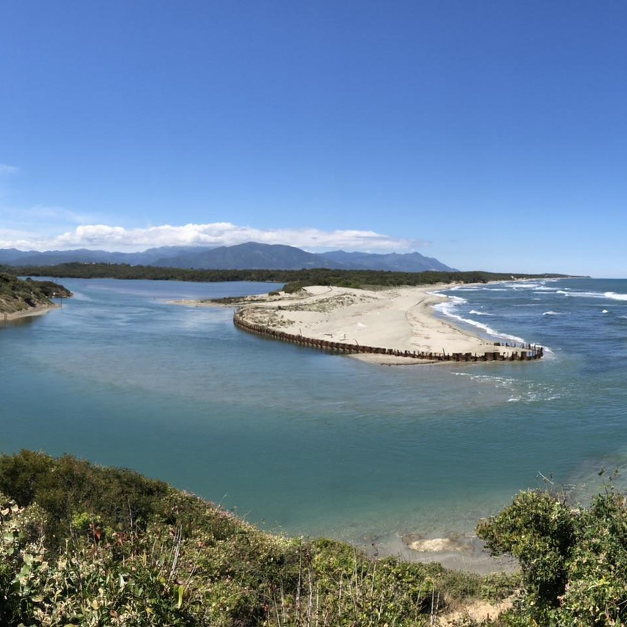
Non-supervised bathing beach with flotsam. Numerous possibilities to drive directly to the beach by car. A few campers were seen. The sand is medium-fine, quite dark and stubborn ;) Light to moderate waves here and therefore the cloudiest so far on our tour of Corsica.
3
0
Frequently Asked Questions
How many hiking trails are available around Étang de Diane?
There are over 40 hiking trails around Étang de Diane, offering a variety of experiences. Most of these, about 30, are classified as easy, with another 10 being moderate. There are no difficult trails in this specific area.
What kind of terrain can I expect on hikes around Étang de Diane?
The terrain around Étang de Diane is quite varied, featuring coastal paths, wetlands, and the distinctive Corsican maquis. You'll find picturesque dunes, sandy stretches along the beach, and areas characterized by reeds and water. Elevation gains are generally low, making most routes accessible.
Are there any family-friendly hiking options in Étang de Diane?
Yes, Étang de Diane offers many easy trails suitable for families. Routes like the Tallone Beach – Diane Tour loop are short and guide hikers through picturesque dunes with a return path along the beach, perfect for a leisurely family outing.
What natural features or landmarks can I see while hiking here?
Hikers can explore the expansive Étang de Diane itself, known for its oyster and mussel production. The surrounding protected wetlands are home to diverse birdlife. You can also encounter archaeological sites and the historic Tower of Diana along some paths, adding cultural interest to the natural exploration.
Are there any circular walks available around Étang de Diane?
Yes, many routes around Étang de Diane are designed as loops. For instance, the Étang de Diane – Maquis at Étang de Diane loop allows you to explore the unique Corsican maquis, while the View of the Étang de Biguglia loop from Stationnement de Pompugliani offers scenic views.
What do other hikers say about the trails in Étang de Diane?
The trails around Étang de Diane are highly rated by the komoot community, with an average score of 4.5 stars from over 300 reviews. Hikers often praise the diverse landscapes, the ease of access for many routes, and the scenic views of the lake and its aquatic environment.
What is the best time of year to go hiking in Étang de Diane?
While specific seasonal data isn't provided, the region's coastal and wetland characteristics suggest that spring and autumn would offer pleasant temperatures for hiking, avoiding the peak heat of summer. These seasons are also ideal for birdwatching in the protected wetlands.
Are there any longer, more challenging hikes in the area?
While most trails are easy, there are moderate options for those seeking a longer trek. The View of the Étang de Biguglia – A short walk to the beach loop from Pompugliani is a moderate 10.5-mile trail that typically takes around 4 hours and 30 minutes to complete, offering varied terrain.
Can I bring my dog on the hiking trails around Étang de Diane?
The region's protected wetlands and diverse wildlife habitats suggest that specific regulations might apply to dogs. While many trails in Corsica are dog-friendly, it's always advisable to check local signage or park rules for specific restrictions, especially in sensitive ecological areas, and to keep dogs on a leash.
Where can I find parking for hiking trails around Étang de Diane?
Specific parking locations are often associated with trailheads. For example, the View of the Étang de Biguglia loop starts from Stationnement de Pompugliani, indicating a designated parking area. It's recommended to check the starting points of individual routes for parking information.
What kind of wildlife might I encounter on a hike?
The protected wetlands and marshes around Étang de Diane are significant habitats for both sedentary and migratory birds, and sometimes endemic species. Keep an eye out for various bird species, especially near the water and in the reed beds. The maquis also hosts its own unique flora and fauna.
Most popular routes around Étang de Diane

Get inspired with the komoot mobile app


Explore more
Browse the best Hikes in other regions.
