The best road cycling routes around Slievedoo
33
riders
6
rides
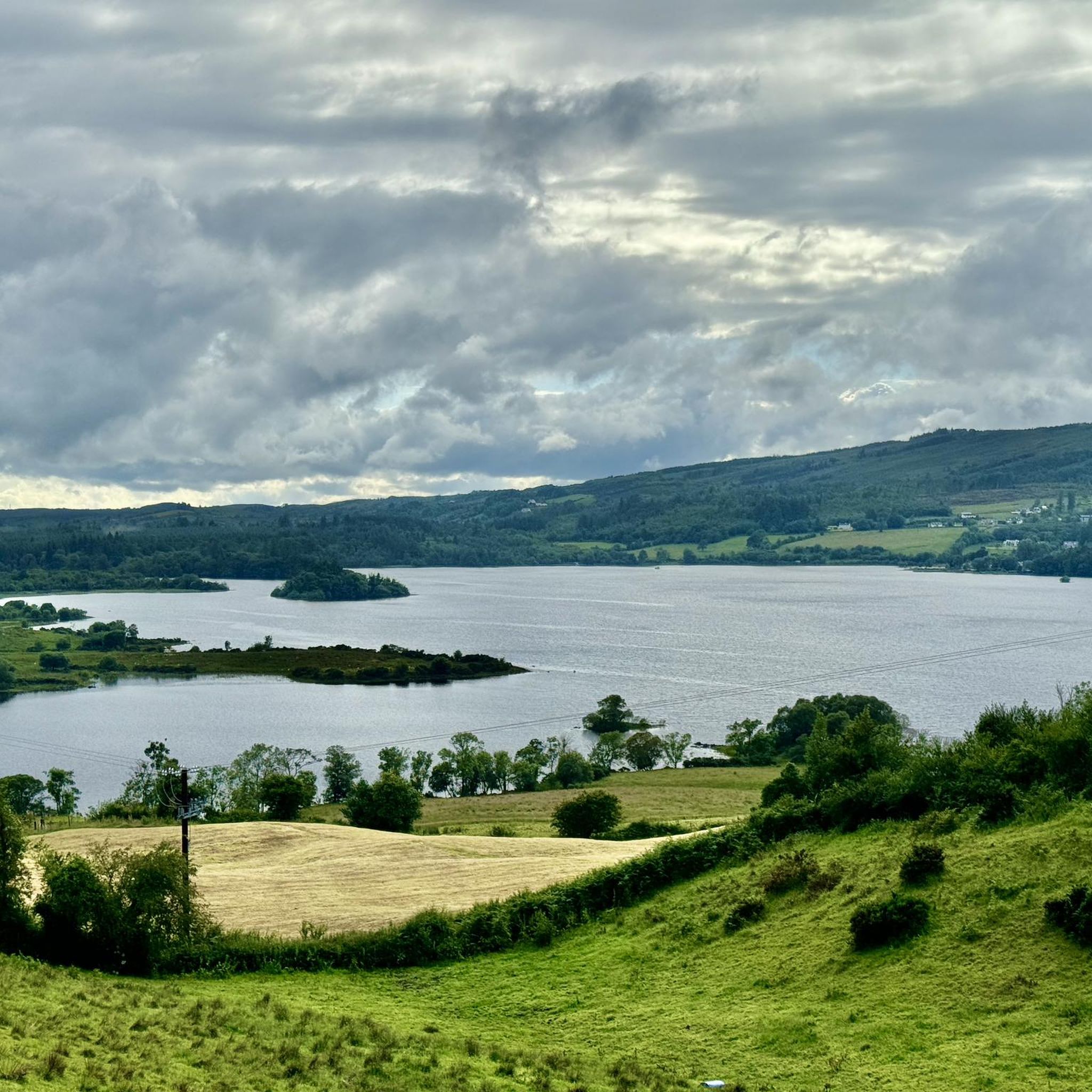
Road cycling routes around Slievedoo traverse a landscape characterized by forested areas and varied terrain. The region features a mix of roads that wind through upland environments and past local landmarks. Cyclists can expect routes with notable elevation changes, offering a range of challenges. The area provides opportunities to explore both natural settings and nearby towns.
Best road cycling routes around Slievedoo
- The most popular road cycling route is Killeter Forest, Strabane and Newtownstewart loop from Castlederg, a 77.9…
Last updated: June 25, 2026
126km
06:28
1,180m
1,180m
Hard road ride. Very good fitness required. Mostly well-paved surfaces and easy to ride.
10
riders
90.4km
04:11
670m
670m
Moderate road ride. Good fitness required. Mostly well-paved surfaces and easy to ride.

Sign up for free
7
riders
78.2km
04:08
960m
960m
Hard road ride. Very good fitness required. Mostly well-paved surfaces and easy to ride.
3
riders
67.5km
03:24
690m
690m
Moderate road ride. Good fitness required. Mostly well-paved surfaces and easy to ride.
4
riders
71.8km
03:41
700m
700m
Moderate road ride. Good fitness required. Mostly well-paved surfaces and easy to ride.
Our route recommendations are based on thousands of hikes, rides, and runs completed by other people on komoot.
Start today with a free account
Your next adventure awaits.
Login or Signup
Popular around Slievedoo
Tips from the Community

The Newtownstewart Stone Bridge is an elegant 18th-century monument that spans the River Mourne with six characteristic arches. This robust stone structure not only forms an important link on the route south, but also offers one of the most beautiful photo opportunities in the region, with a picturesque view of the babbling water and the nearby Stewart Castle.
7
0
On the banks of the River Eske stands Donegal Castle, the 15th-century stronghold of the mighty O’Donnell clan. The combination of the robust medieval tower and the later 17th-century manor house gives it a layered appearance: Gaelic-Irish at the base, with a subtle English finish on top. From the road and the bridge, you get a beautiful view of the massive walls and its position above the water, making the castle a natural landmark as you enter Donegal Town.
8
1
The Diamond forms the central square of Donegal Town: an open, triangular space where roads, shops, and cafés converge. In the middle stands the obelisk for the Four Masters, a subtle reference to the Franciscan scholars who recorded Irish history. The square breathes a calm, local atmosphere and forms a natural landmark when cycling through the town or stopping for a short break.
8
0
Quiet, open part of Donegal Bay where the Breedoge River flows into the sea. Wide horizon, tidal flats and views of Bundoran make this a subtle but atmospheric landscape moment between Tullaghan and the Donegal coast.
3
0

A useful footbridge over the Riber Finn, linking Ballybofey with the riverside trails and Drumboe woodland trails.
0
0

The Wee Bakery Coffee Shop Ballyshannon Address: Main St, Townparks, Ballyshannon, Co. Donegal, F94 HTW5 Lovely little cafe with friendly staff and tasty food. If you have the opportunity to stop here, do so.
1
0

[Google Translation may change URLs] Heritage Ireland (Donegal Castle, 2024-09-04): https://heritageireland.ie/places-to-visit/donegal-castle/ Wikipedia (Donegal Castle (Irish: Caisleán Dhún na nGall), 2024-09-04): https://en.m.wikipedia.org/wiki/Donegal_Castle https://de.m.wikipedia.org/wiki/Donegal_Castle Tripadvisor (Donegal Castle, 2024-09-04): https://www.tripadvisor.com/Attraction_Review-g186602-d318379-Reviews-Donegal_Castle-Donegal_Town_County_Donegal.html google (Street View, 2024-09-04): https://www.google.com/maps/@54.6549279,-8.1101163,3a,90y,272.84h,83.94t/data=!3m6!1e1!3m4!1sP-rzPJRTXEaVQuk0Z9UYgg!2e0!7i16384!8i8192
2
1

Beautiful view through the hills with an amazing forest road after it
0
0
Frequently Asked Questions
What kind of terrain can I expect on road cycling routes near Slievedoo?
Road cycling routes around Slievedoo traverse a landscape characterized by forested areas and varied terrain. You can expect a mix of roads that wind through upland environments, offering notable elevation changes and a range of challenges. The area provides opportunities to explore both natural settings and nearby towns.
How many road cycling routes are available around Slievedoo?
There are 6 road cycling routes available around Slievedoo on komoot, offering diverse options for cyclists.
Are there routes suitable for different skill levels?
Yes, the routes around Slievedoo cater to various skill levels. You'll find 4 moderate routes and 2 difficult routes, ensuring options for both intermediate and experienced riders seeking a challenge.
What natural features or landmarks can I see along the road cycling routes?
While cycling, you can encounter several interesting features. Routes like the Ballyshannon Town Center – Donegal Castle loop from Lough Eske offer views towards Donegal Castle. Other routes pass by natural attractions such as Lough Eske and the Clady River Crossing.
Are there any historical sites to explore while road cycling?
Yes, some routes lead towards historical sites. For instance, the Killeter Forest – Donegal Castle loop from MacCumhaill Park takes you towards Donegal Castle. Additionally, you might pass by sites like St Patrick's Purgatory and St Caireall’s Church Ruins.
Can I find challenging road cycling routes for experienced riders?
Absolutely. For experienced riders seeking a challenge, routes like the Killeter Forest, Strabane and Newtownstewart loop from Castlederg, a 125.5 km trail with significant elevation gain, are classified as difficult. Another challenging option is the Killeter Forest – Donegal Castle loop from MacCumhaill Park.
Are there moderate road cycling routes available?
Yes, there are several moderate road cycling routes. The Ballyshannon Town Center – Donegal Castle loop from Lough Eske is a popular moderate option, offering a mix of town and scenic landscapes over 90 km. Another moderate route is the Killeter Forest – Ballykillowen Hill loop from Killeter.
Are the road cycling routes typically circular?
Many of the road cycling routes around Slievedoo are designed as loops, allowing you to start and finish at the same point. Examples include the Killeter Forest, Strabane and Newtownstewart loop from Castlederg and the Killeter Forest – View of Dearg Line Valley loop from Donegal.
What do other road cyclists enjoy most about road cycling in Slievedoo?
Over 30 road cyclists have used komoot to explore Slievedoo's varied terrain. They often appreciate the forested uplands, rolling hills, and the routes connecting local towns and valleys, which provide a diverse and engaging cycling experience.
Is public transport available to access road cycling routes in the Slievedoo area?
Information regarding specific public transport options directly to the trailheads for road cycling in the immediate Slievedoo Forest area is limited. It is generally recommended to plan your journey by car or check local bus services for nearby towns and cycle from there.
What are the parking options for road cyclists near Slievedoo?
While specific designated parking for road cycling routes in Slievedoo Forest is not widely advertised, cyclists typically find parking in nearby towns or at the starting points of the routes. Always ensure you park responsibly and legally.
Are there any family-friendly road cycling routes?
The routes around Slievedoo are generally moderate to difficult, featuring significant elevation changes and longer distances. While some sections might be suitable, the overall routes may be more challenging for younger children or those new to road cycling. Consider shorter, flatter sections if cycling with family.
Are the road cycling routes dog-friendly?
Road cycling routes are typically on public roads or forest roads. While dogs are generally allowed on public roads, it's important to consider their safety and the safety of other road users. Always keep dogs on a lead and ensure they are comfortable with the distance and traffic conditions. Specific regulations for Slievedoo Forest regarding dogs on trails are not explicitly stated for cycling.
Most popular routes around Slievedoo
Most popular attractions around Slievedoo

Get inspired with the komoot mobile app


Explore more
Browse the best Road cycling routes in other regions.
