The 10 Most Amazing Peaks around Stourpaine
Best mountain peaks around Stourpaine are not traditional peaks but significant chalk hills surrounding the village, nestled in the valley of the River Stour in Dorset, England. These elevated areas, including Hod Hill, Hambledon Hill, and Win Green, offer notable features, historical significance, and expansive panoramic views. They provide opportunities to explore well-preserved Iron Age and Roman earthworks, as well as diverse natural landscapes. The region is characterized by its chalk hills, which are rich in flora and fauna.
Best…
Last updated: August 22, 2026
Win Green Summit
Highlight • Historical Site
Tip by

Hambledon Hill Iron Age hill fort
Highlight • Viewpoint
Tip by
Sign up now to discover places like this
Get recommendations on the best single tracks, peaks, & plenty of other exciting outdoor places.
Sign up for free
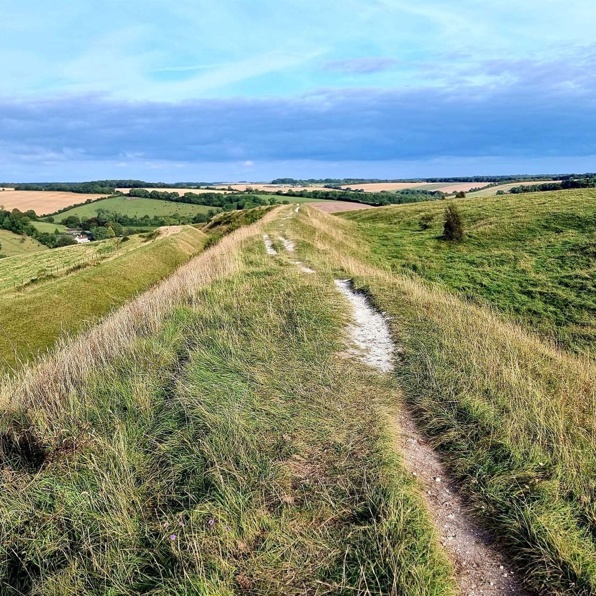
Hambledon Hill Ramparts
Highlight • Historical Site
Tip by

Melbury Beacon
Highlight • Viewpoint
Tip by

Trig Point of Spetisbury Ring
Highlight • Viewpoint
Tip by

Sign up for free to discover even more peaks around Stourpaine.
Sign up for free
Already have an account?
Start today with a free account
Your next adventure awaits.
Login or Signup

Tips from the Community

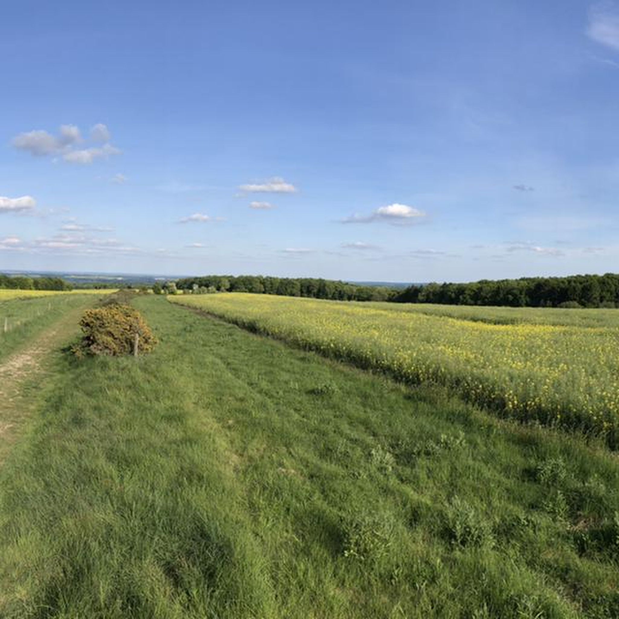
The trig point at Spetisbury Rings is a distinctive feature located on the summit of the ancient Iron Age hillfort, offering excellent panoramic views of the surrounding Dorset countryside and the Stour Valley. Location: The trig point is situated on the highest point of Spetisbury Rings (also historically known as Crawford Castle), an Iron Age hillfort just south of the village of Spetisbury, Dorset. Purpose: A trigonometrical station (or "trig point") is a concrete pillar used by the Ordnance Survey (OS) for the triangulation of Great Britain. They mark a point of high elevation and visibility, which is why they are often found on the summits of hills and mountains. Elevation: The hillfort's summit, where the trig point is located, reaches an elevation of approximately 81 metres (266 feet) above sea level.
0
0

Pop into the cricketers pub before or after your hike it’s in the village (shroton)
0
0
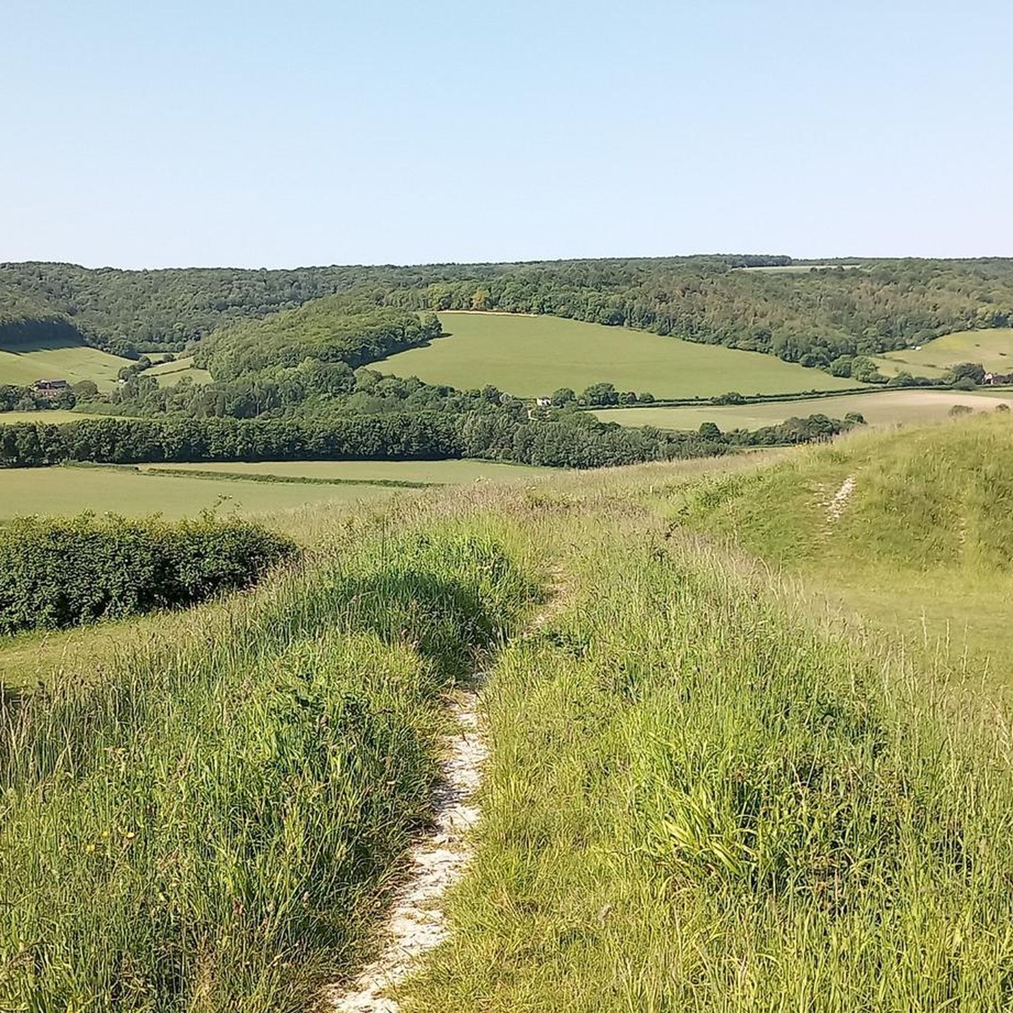
Melbury beacon is one of the highest points in north Dorset and the views are amazing I would recommend parking on spread eagle hill if you plan to hike x
1
0
Stunning panoramic views from the trig check out the the Shack nearby for a good pint afterwards
0
0
Nice walking area and the shack has food and drink 😋 🍺
0
0
One of the most beautiful places in the south of England 🏴 and amazing views of Wiltshire and Dorset 🤩
0
0
Frequently Asked Questions
What are the most notable elevated points around Stourpaine?
The Stourpaine area is characterized by significant chalk hills rather than traditional mountain peaks. Key elevated points include Win Green Summit, the highest point in Cranborne Chase, Hambledon Hill Iron Age hill fort, known for its historical significance and panoramic views, and Hod Hill, another prominent Iron Age hillfort with Roman remains.
What historical sites can I explore on these hills?
You can explore several significant historical sites. Hambledon Hill Iron Age hill fort is considered one of Britain's best-preserved Iron Age hillforts and a key Neolithic landscape. Nearby Hod Hill also features impressive Iron Age ramparts and well-preserved Roman fort remains. The Hambledon Hill Ramparts offer a clear view of the ancient fortifications.
What kind of views can I expect from the peaks around Stourpaine?
The elevated points around Stourpaine offer breathtaking panoramic views. From Win Green Summit, you can see over the Blackmore Vale and Salisbury Plain, with the Isle of Wight visible on clear days. Hambledon Hill provides expansive vistas stretching into Wiltshire and Somerset. Melbury Beacon also offers superb views of Blackmore Vale and Cranborne Chase.
Are there family-friendly options for exploring these hills?
Yes, several spots are suitable for families. Win Green Summit is listed as family-friendly, offering a rewarding experience with its views and historical context. The circular walk around Hod Hill is also popular for families, combining history with scenic beauty.
What natural features and wildlife can I observe?
The chalk hills are rich in natural beauty. Hod Hill is a Site of Special Scientific Interest (SSSI) known for its chalk flora, diverse wildflowers, and butterfly populations. Hambledon Hill is an exemplary site of unimproved calcareous grassland, supporting rare plant and animal species, including various butterflies like dingy skipper and chalkhill blue. It also features a significant yew forest.
What outdoor activities can I do near these elevated points?
The area around Stourpaine offers various outdoor activities. You can find numerous routes for mountain biking, running, and road cycling. For example, there are MTB Trails around Stourpaine, Running Trails around Stourpaine, and Road Cycling Routes around Stourpaine, catering to different preferences and difficulty levels.
Are there specific hiking trails or walks recommended?
Yes, there are many walking opportunities. A popular circular walk often starts from Stourpaine church to explore Hod Hill. For runners, the 'Hod Hill and Hambledon Hill Loop' is a moderate 9.3 km route. Many of the elevated points, such as Win Green Summit and Hambledon Hill, are accessible via well-trodden paths, offering rewarding hikes.
What is the best time of year to visit the hills around Stourpaine?
The hills around Stourpaine can be enjoyed year-round, but spring and summer are particularly rewarding for experiencing the rich chalk flora and butterfly populations. Autumn offers beautiful colors, and even winter walks can be stunning, especially on clear days when the panoramic views are at their most expansive.
Is parking available near the trailheads?
Yes, parking is generally available. For Win Green Summit, there is easy parking close by. For Melbury Beacon, parking is recommended on Spread Eagle Hill. Many walks, such as those around Hod Hill, often have designated parking areas at common starting points like Stourpaine church.
Are the trails around Stourpaine dog-friendly?
Many trails in the area are dog-friendly. For instance, the walk through the Rushmore Estate to Win Green Summit is noted as nice for dogs, though they may need to be kept on a lead for parts of the walk due to animals. It's always advisable to keep dogs under control, especially in areas with livestock or sensitive wildlife.
What is the difficulty level of hiking in this region?
The difficulty level varies. Many walks are considered intermediate, such as those to Win Green Summit, Hambledon Hill Iron Age hill fort, and Melbury Beacon. There are also easier options, and some running routes can be more challenging, like the 'Durweston Mill – Hod Hill Iron Age Hill Fort loop from Durweston' which is rated difficult.
What makes Hambledon Hill unique?
Hambledon Hill is unique for being one of Britain's best-preserved Iron Age hillforts and a significant Neolithic landscape in Europe. Managed by the National Trust, it's also an exemplary site of unimproved calcareous grassland, home to a variety of rare plant and animal species, and features remnants of a Neolithic settlement and an ancient yew forest.
Most popular routes around Stourpaine
Most popular attractions around Stourpaine

Get inspired with the komoot mobile app


Explore more
See even more amazing summits around Stourpaine with these guides:
