The best road cycling routes around Ryther Cum Ossendyke
4.7
(104)
4,670
riders
215
rides
Road cycling routes around Ryther Cum Ossendyke are characterized by predominantly flat terrain, making the area accessible for various skill levels. The landscape features expansive flat farmland, offering open views across the region. The area is situated near the River Wharfe and the River Ouse, which contribute to the gentle topography and provide scenic backdrops for rides. Disused railway lines, such as sections of the York Solar System Greenway, offer smooth, traffic-free paths for road cyclists.
Best road cycling routes…
Last updated: July 7, 2026
5.0
(1)
34
riders
21.1km
00:52
30m
30m
Easy road ride. Great for any fitness level. Mostly well-paved surfaces and easy to ride.
5.0
(1)
35
riders
39.9km
01:52
330m
330m
Moderate road ride. Good fitness required. Some segments of this route may be unpaved and difficult to ride.

Sign up for free
28
riders
Easy road ride. Great for any fitness level. Mostly well-paved surfaces and easy to ride.
16
riders
52.6km
02:05
80m
80m
Moderate road ride. Good fitness required. Mostly well-paved surfaces and easy to ride.
13
riders
42.4km
01:40
70m
70m
Easy road ride. Great for any fitness level. Mostly well-paved surfaces and easy to ride.
Get access to more routes and recommendations from other explorers.
Sign up for free
Already have an account?
Our route recommendations are based on thousands of hikes, rides, and runs completed by other people on komoot.
Start today with a free account
Your next adventure awaits.
Login or Signup
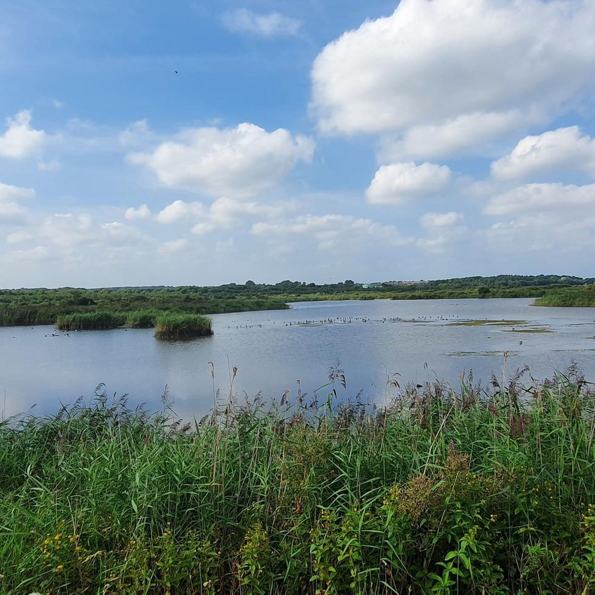
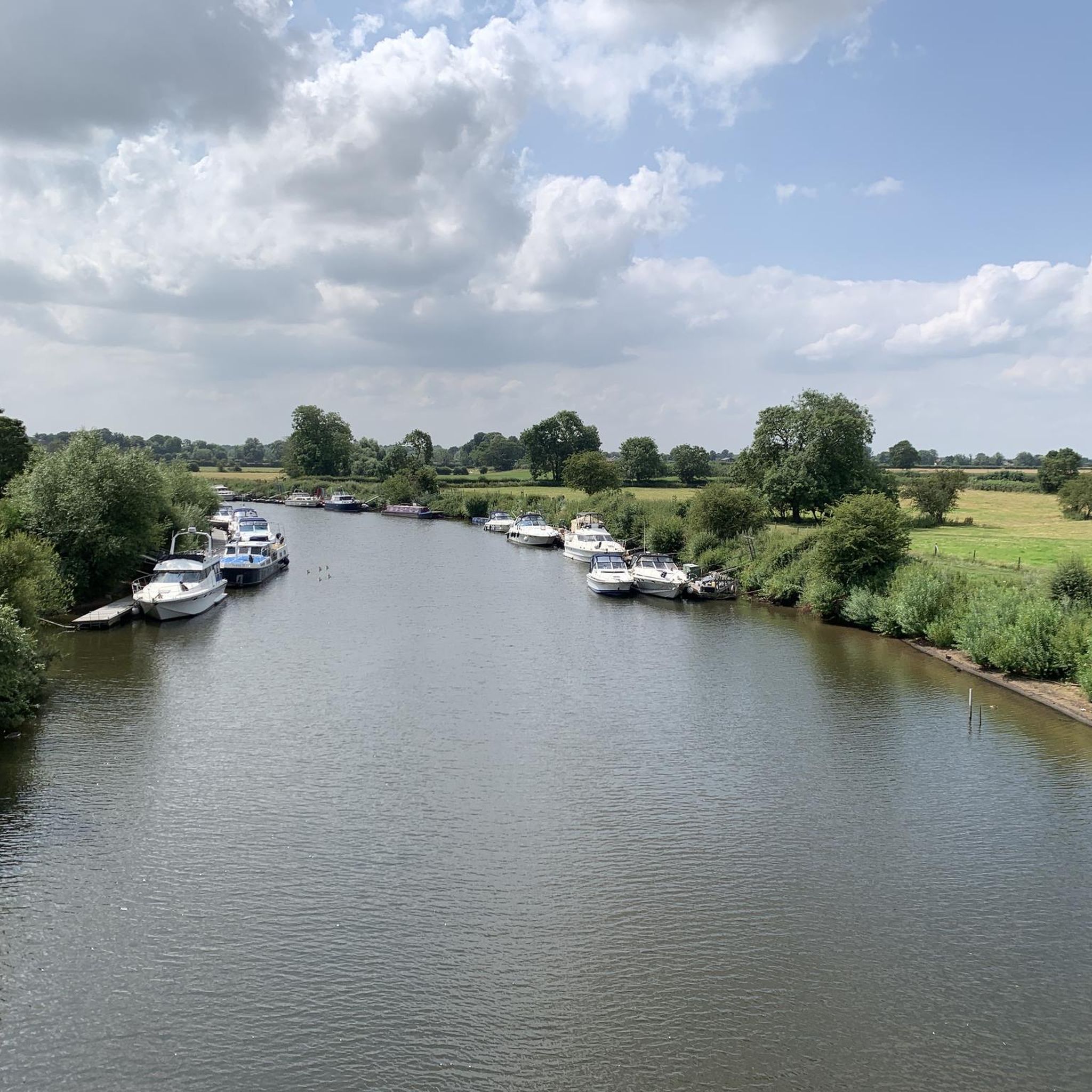

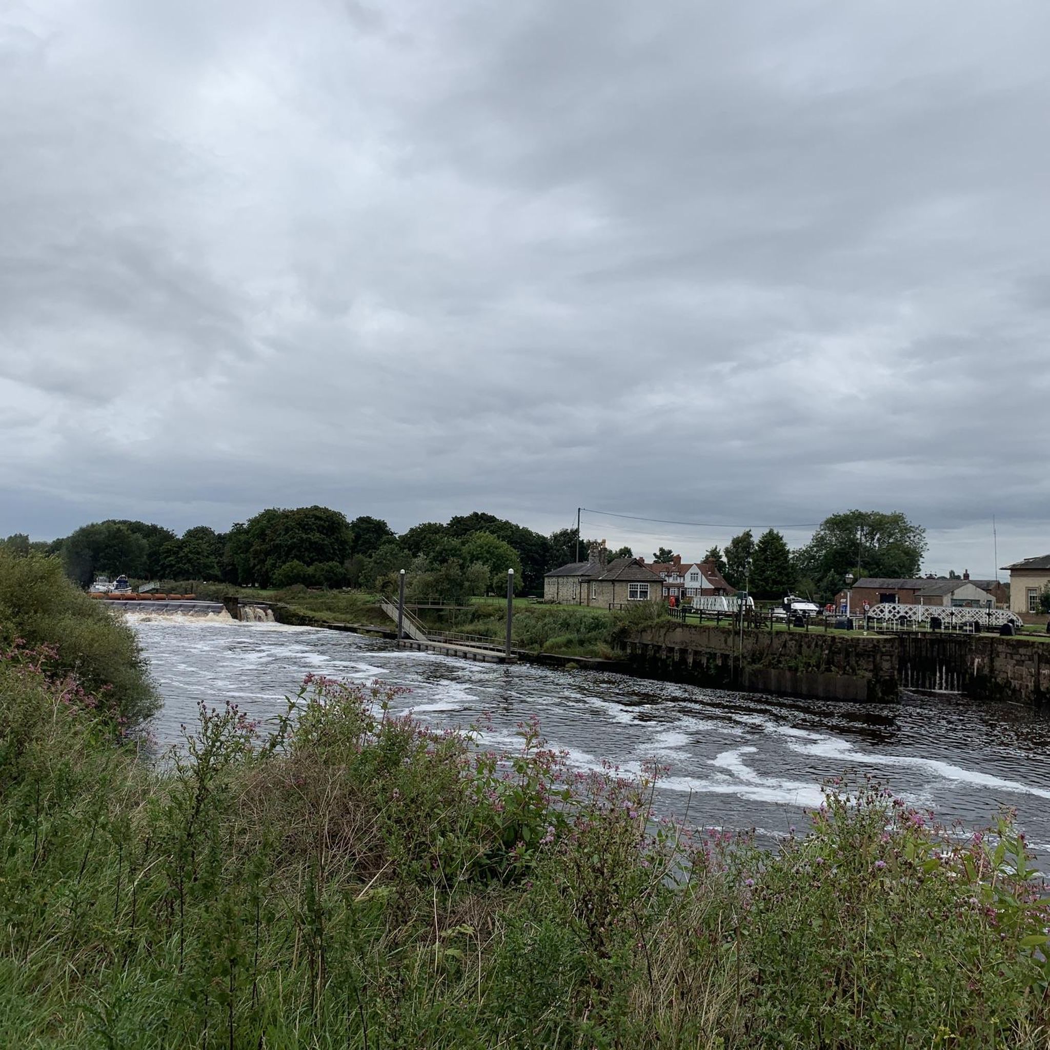
Tips from the Community

Most visually appealing part of route
0
0

The site's religious history dates back to the Danish period, with an original St. Hilda's Chapel potentially existing as early as 500 AD. Medieval building: By the 12th century, the chapel was in ruins. A new Norman church, dedicated to All Saints, was constructed around 1213. Elements from the earlier structure were incorporated into the new building. Much of the present church has a dominant Perpendicular style from the 14th and 15th centuries. The distinctive, tall bell tower, which serves as a local landmark, was added in the 15th century.
1
0
You could read Eric Gee's 1983 "Bishopthorpe Palace: An Architectural History", but Eric never had the tinterweb in 1983. We do >>> https://historicengland.org.uk/listing/the-list/list-entry/1166705?section=official-list-entry, https://en.wikipedia.org/wiki/Bishopthorpe_Palace
1
0

Nice traffic free alternative. Nice also to escape thebheat
0
0


Grade I listed building. The surviving fifteenth-century structures formed part of a fortified medieval palace belonging to the Archbishops of York, which was dismantled in the aftermath of the English Civil War. The only remaining parts of the castle are the gatehouse and the banqueting hall. Stones from the destroyed castle were used in the construction of surrounding houses. The foundations of some other structures do remain as well as the castle's cellar, which was excavated in the 19th century. The gatehouse served as a courthouse until the 1930s, before being used as an officers' mess and a building for the Home Guard during World War II. The first fortifications on this site are believed to be those built by King Athelstan in the 10th Century.
1
0
Frequently Asked Questions
What is the general terrain like for road cycling around Ryther Cum Ossendyke?
The region is characterized by predominantly flat terrain, making it accessible for various skill levels. You'll find expansive flat farmland offering open views, and routes often follow river valleys like the River Wharfe and River Ouse, contributing to the gentle topography. Disused railway lines also provide smooth, traffic-free paths.
How many road cycling routes are available in the Ryther Cum Ossendyke area?
There are over 220 road cycling routes available around Ryther Cum Ossendyke on komoot, catering to various preferences and skill levels. This includes nearly 100 easy routes and over 110 moderate options.
Are there any unique or specially designed cycling paths in the area?
Yes, the area features unique paths like sections of the York Solar System Greenway, a pan-flat disused railway line with scale models of planets. The Trans Pennine Trail: Selby to York Cycle Path also offers a safe and largely flat option, known for its hard-packed gravel that's suitable for road bikes.
What kind of landmarks or points of interest can I see along the road cycling routes?
You can explore historical and architectural sights such as the Cawood Castle Gatehouse, which is featured on a popular easy route. Other notable points include All Saints Church in Ryther, Bishopthorpe Palace (visible from footpaths), and the Bridge with Fisherman Sculpture over the River Ouse.
Are there road cycling routes suitable for families or beginners?
Absolutely. The flat landscape makes many routes ideal for families and beginners. For example, the Cawood Castle Gatehouse – Cawood Bridge loop from Cawood is an easy 20.9 km path that follows the River Ouse, perfect for a relaxed ride. The Trans Pennine Trail is also very popular for its ease of use, even for children.
Are there any challenging road cycling routes for more experienced cyclists?
While the region is generally flat, some routes offer longer distances for a more extensive ride. The Aldwark Bridge – Boroughbridge High Street loop from Ulleskelf is a moderate 112.3 km trail, providing a significant endurance challenge through the region's landscape.
What do other road cyclists enjoy most about cycling in Ryther Cum Ossendyke?
The area is highly rated by the komoot community, with an average score of 4.6 stars from over 100 reviews. Cyclists often praise the flat, accessible terrain, the scenic views of farmland and rivers, and the variety of routes suitable for different abilities, including traffic-free options like the disused railway lines.
Are there circular road cycling routes available?
Yes, many of the routes in the area are designed as loops, allowing you to start and finish at the same point. Examples include the John Smith's Brewery – Boroughbridge High Street loop from Ulleskelf and the Pickles at Riccall loop from Kelfield, both offering convenient circular journeys.
What is the best time of year to go road cycling in Ryther Cum Ossendyke?
The generally flat terrain makes road cycling enjoyable for much of the year. Spring and summer offer pleasant weather for exploring the open farmland and river valleys. Autumn can also be beautiful with changing foliage. While winter cycling is possible, be mindful of colder temperatures and potentially wetter conditions on some paths.
Are there places to stop for refreshments or accommodation along the routes?
Yes, you'll find various options for refreshments. For instance, the Birkin Tea Room is a highlight in the area. Many villages and towns along the routes will offer pubs, cafes, and accommodation options suitable for cyclists.
Is public transport available to access the cycling routes?
While specific public transport links directly to every trailhead might vary, the region is generally accessible. Major towns like Selby and York, which are connected to some cycling paths, have train stations and bus services. It's advisable to check local bus routes for connections to smaller villages near your chosen starting point.
Are the road cycling routes in Ryther Cum Ossendyke suitable for dogs?
While many cycling paths in the wider North Yorkshire area are dog-friendly, specific road cycling routes may vary. Paths like the Trans Pennine Trail are generally suitable for dogs on a lead. However, when cycling on roads or through farmland, always be aware of livestock and local regulations. It's best to check individual route details for specific dog-friendliness.
Most popular routes around Ryther Cum Ossendyke
Most popular attractions around Ryther Cum Ossendyke

Get inspired with the komoot mobile app


Explore more
Browse the best Road cycling routes in other regions.
