The best running trails around Melcombe Horsey
4.2
(26)
602
runners
99
runs
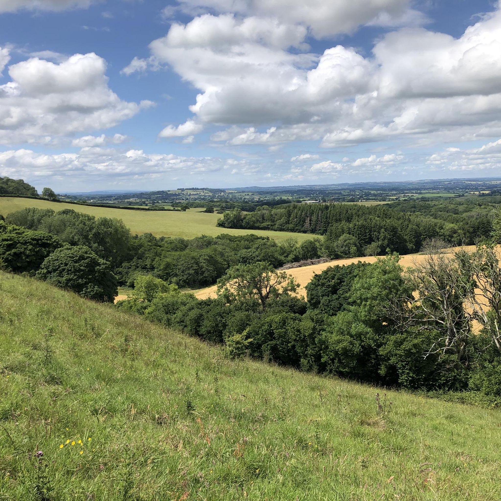
Jogging around Melcombe Horsey offers a diverse range of experiences across varied terrain. The region features a mix of track, path, road, and field surfaces, providing different running conditions. Characterized by chalk hills, valleys, and woodlands, the landscape includes gently rolling farmland and ancient trackways. Elevations range from approximately 390ft to 875ft, with routes often incorporating steady climbs.
Best jogging routes around Melcombe Horsey
- The most popular jogging route is Church Hill Enclosure – Brace of Pheasants Path loop from…
Last updated: August 20, 2026
17.5km
01:56
360m
360m
Hard run. Very good fitness required. Mostly paved surfaces. Suitable for all skill levels.
7
runners
10.0km
01:03
70m
70m
Moderate run. Good fitness required. Mostly paved surfaces. Suitable for all skill levels.

Sign up for free
3
runners
9.94km
01:11
220m
220m
Moderate run. Good fitness required. Mostly paved surfaces. Suitable for all skill levels.
2.0
(1)
5
runners
11.6km
01:25
270m
270m
Moderate run. Good fitness required. Mostly paved surfaces. Suitable for all skill levels.
5
runners
12.6km
01:29
210m
210m
Moderate run. Good fitness required. Mostly paved surfaces. Suitable for all skill levels.
Get access to more routes and recommendations from other explorers.
Sign up for free
Already have an account?
Our route recommendations are based on thousands of hikes, rides, and runs completed by other people on komoot.
Start today with a free account
Your next adventure awaits.
Login or Signup
Other adventures around Melcombe Horsey

Tips from the Community

This was the part that I was longing for dry weather. The proper ridgeway from here on eastward is stunning but if less than knobby tyres you'll need to drop down.
0
0


Once you're at this well-known junction, also known as the Dorsetshire Gap, it doesn't matter which direction you head because the landscape in this area is breathtaking.
0
0
This is the River Piddle, which rises in Alton Pancras, a bit further north than Piddletrenthide. If you look closely, as it passes through this village, it goes underneath the houses on the main road.
0
0
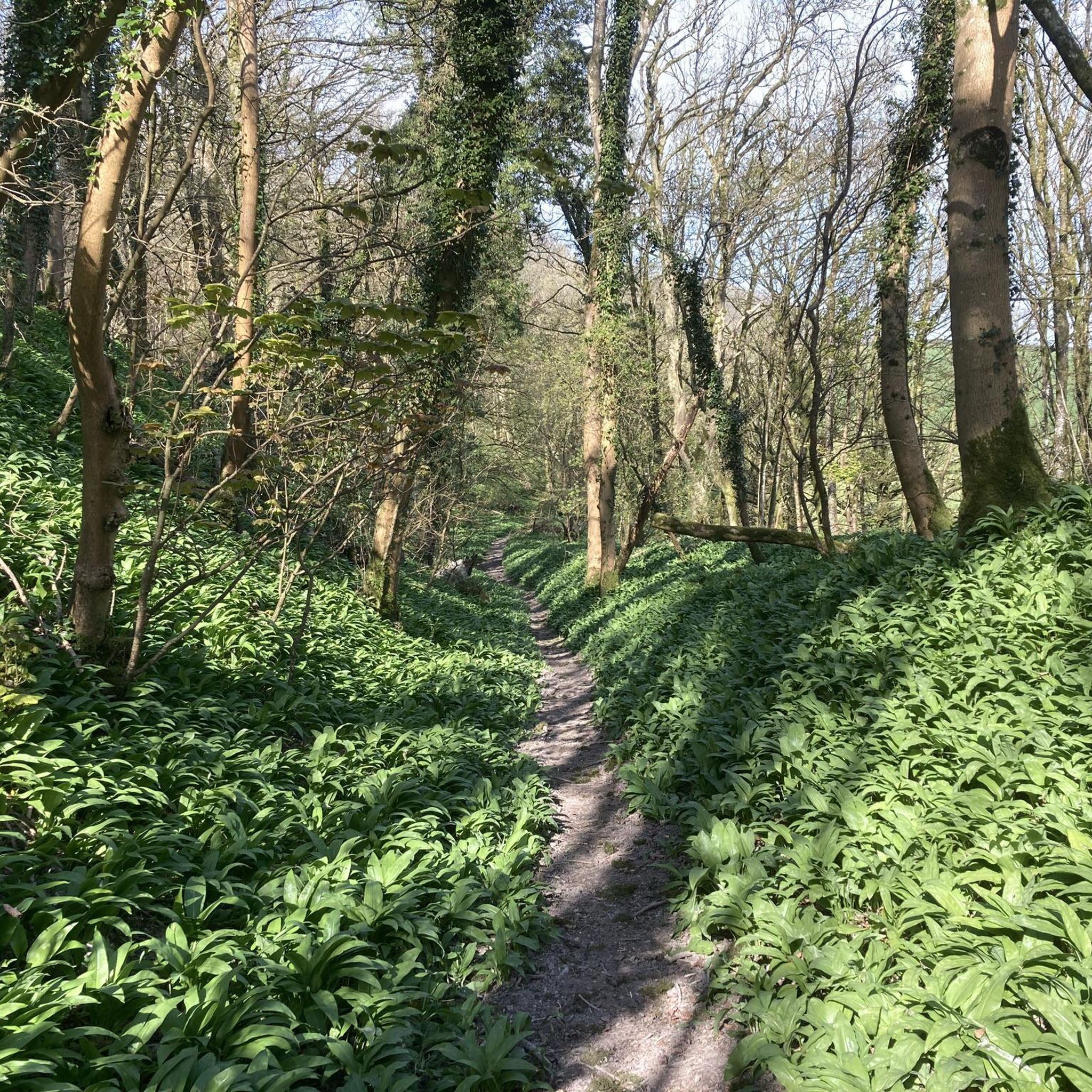
In the southern part of Fetchum Wood, very close to the village of Plush, you can enjoy running along this path among the trees, sometimes forming even a canopy with their branches. After heavy rains, it can get very muddy, so keep that in mind.
0
0
Right next to the Wessex Ridgeway, near the Dorset Gap, you can see this square earthwork, approximately 25 meters in length on each side and 1 meter above the flat ground.
0
0

There's a car park and viewpoint at the top. Coming from the east is a long gradual climb. Coming from the west it is a short, sharp climb hitting 15% in places. But…going down (especially eastwards) makes it worth it.
1
0

The Dorsetshire Gap is a very atmospheric location, very easy to imagine Medieval traders passing through it. Be aware that the bridleways too and from it are tough, the tracks marked on the maps may not exist on the ground, cycling can be hard an slow, Still worth a visit.
0
0
Frequently Asked Questions
How many running routes are available in Melcombe Horsey?
Melcombe Horsey offers a wide selection of running routes, with over 100 different trails to explore. This includes a mix of easy, moderate, and difficult options to suit various fitness levels.
What kind of terrain can I expect on the jogging routes around Melcombe Horsey?
The terrain in Melcombe Horsey is quite varied, featuring a mix of track, path, road, and field surfaces. You'll encounter chalk hills, valleys, and woodlands, with gently rolling farmland and ancient trackways. Elevations typically range from 390ft to 875ft, often incorporating steady climbs, providing a dynamic running experience.
Are there routes suitable for beginners or those looking for an easy run?
Yes, Melcombe Horsey has several routes suitable for beginners or those preferring an easier pace. There are 5 easy routes available, alongside 83 moderate options, ensuring there's something for every fitness level.
What natural features or landmarks can I see while jogging in Melcombe Horsey?
Many running routes will take you past significant natural features. You might encounter the historic Dorsetshire Gap, an ancient junction of five routes, or enjoy expansive views from Church Hill Enclosure. The area is also characterized by its distinctive chalk hills and valleys.
Are there any historical sites to explore on a run?
Absolutely. The landscape around Melcombe Horsey is rich with history. You might pass by ancient trackways, the site of a Romano-British settlement at Hog Hill, or the 'Giants Grave' marked with sarsen stones. The 16th-century Higher Melcombe House and its 17th-century chapel-of-ease also offer historical points of interest along various routes.
Are the running routes in Melcombe Horsey dog-friendly?
While specific dog-friendly designations vary by route, many of the trails in Melcombe Horsey traverse public footpaths and bridleways that are generally suitable for dogs. It's always recommended to keep dogs under control, especially when passing through farmland with livestock, and to check local signage for any restrictions.
Can I find family-friendly jogging routes in Melcombe Horsey?
Yes, many of the moderate and easy routes are suitable for families. The gently rolling farmland and varied terrain offer an engaging experience for all ages. For example, the Dewlish Phone Mast – Dewlish War Memorial loop from Dorset is a moderate 7.4 km route that could be a good option for a family outing.
Are there options for refreshments or pub stops along the running routes?
Yes, after a good run, you can find refreshment options nearby. The Fox Inn at Ansty and The Brace of Pheasants in Plush are popular choices for runners looking to refuel and relax.
What do other runners enjoy the most about jogging in Melcombe Horsey?
The running routes in Melcombe Horsey are highly rated by the komoot community, with an average score of 4.1 stars from more than 10 reviews. Runners often praise the diverse terrain, the scenic views of chalk hills and valleys, and the opportunity to explore ancient trackways and woodlands.
What are the typical distances and durations of running routes in Melcombe Horsey?
Running routes in Melcombe Horsey vary significantly in length and duration. You can find shorter, moderate runs like the Running loop from Hazelbury Bryan, which is 10.0 km and takes about 1 hour. For those seeking a longer challenge, routes like the Church Hill Enclosure – Brace of Pheasants Path loop from Hazelbury Bryan span 46.9 km and can take over 5 hours.
Are there any circular running trails in the area?
Yes, many of the routes in Melcombe Horsey are circular, allowing you to start and finish at the same point. A notable example is The Dorsetshire Gap loop from Hilton, a moderate 9.9 km trail that offers varied terrain and scenic views.
Where can I park when accessing running trails in Melcombe Horsey?
While specific parking areas aren't detailed for every route, many trails in the Melcombe Horsey area can be accessed from villages like Hazelbury Bryan or Hilton, where roadside parking or small village car parks may be available. It's advisable to check the starting point of your chosen route for the most convenient parking options.
Most popular attractions around Melcombe Horsey

Get inspired with the komoot mobile app


Explore more
Browse the best Running Trails & Routes in other regions.
