The best MTB trails around West Crewkerne
5.0
(1)
13
riders
10
rides
Mountain biking around West Crewkerne offers varied landscapes, from challenging hills to wooded terrain. The region features hard-packed dirt surfaces and trails that wind past secluded lakes and streams. This diverse terrain provides options for different skill levels, making it suitable for a range of mountain biking experiences. The area's natural features, including country parks and nature reserves, contribute to its appeal for outdoor activities.
Best mountain bike trails around West Crewkerne
- The most popular mountain bike trail is Market…
Last updated: October 13, 2026
1
riders
36.8km
02:17
270m
270m
Moderate mountain bike ride. Good fitness required. Suitable for all skill levels.
4
riders
30.7km
01:48
240m
240m
Easy mountain bike ride. Great for any fitness level. Suitable for all skill levels.

2
riders
23.7km
01:38
340m
340m
Moderate mountain bike ride. Good fitness required. Suitable for all skill levels.
1
riders
24.0km
01:39
300m
300m
Moderate mountain bike ride. Good fitness required. Suitable for all skill levels.
3
riders
39.4km
02:51
600m
600m
Moderate mountain bike ride. Good fitness required. Suitable for all skill levels.
Get access to more routes and recommendations from other explorers.
Already have an account?
Our route recommendations are based on thousands of hikes, rides, and runs completed by other people on komoot.
Start today with a free account
Your next adventure awaits.

Tips from the Community

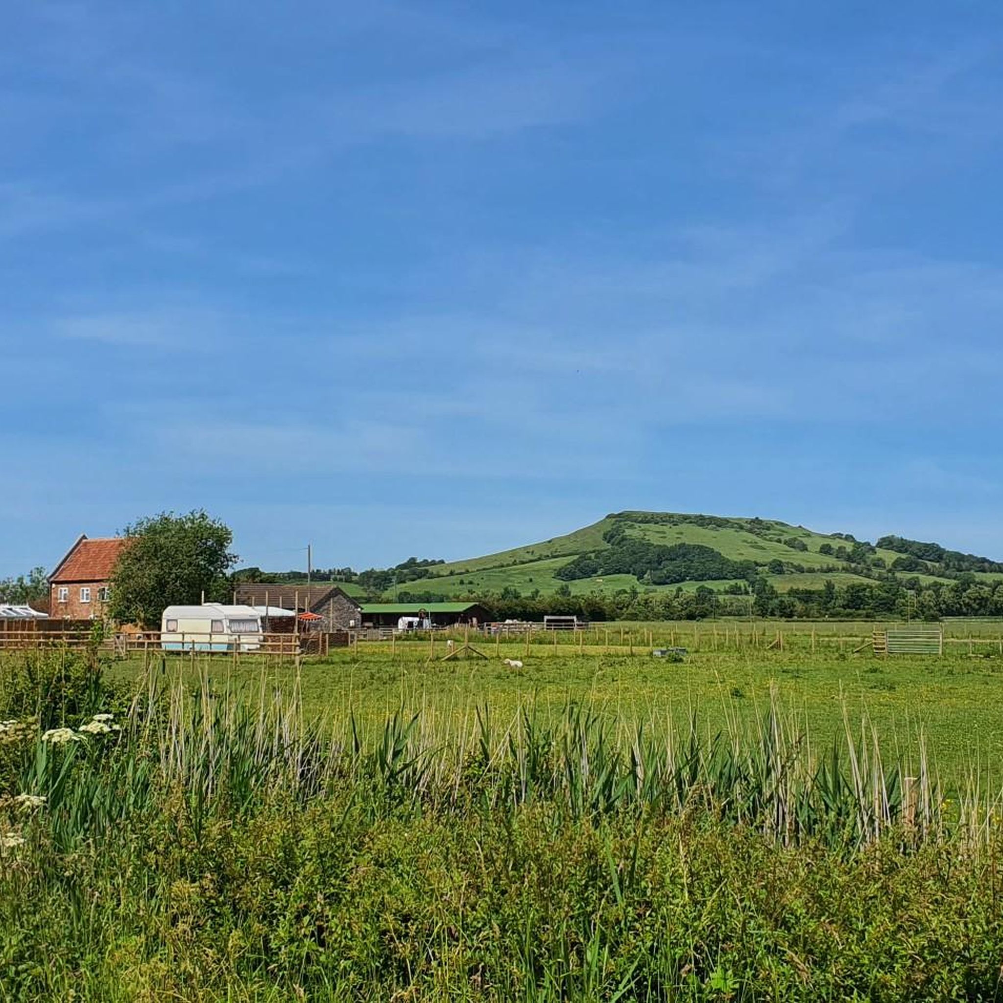
Well placed after a steep climb
0
0
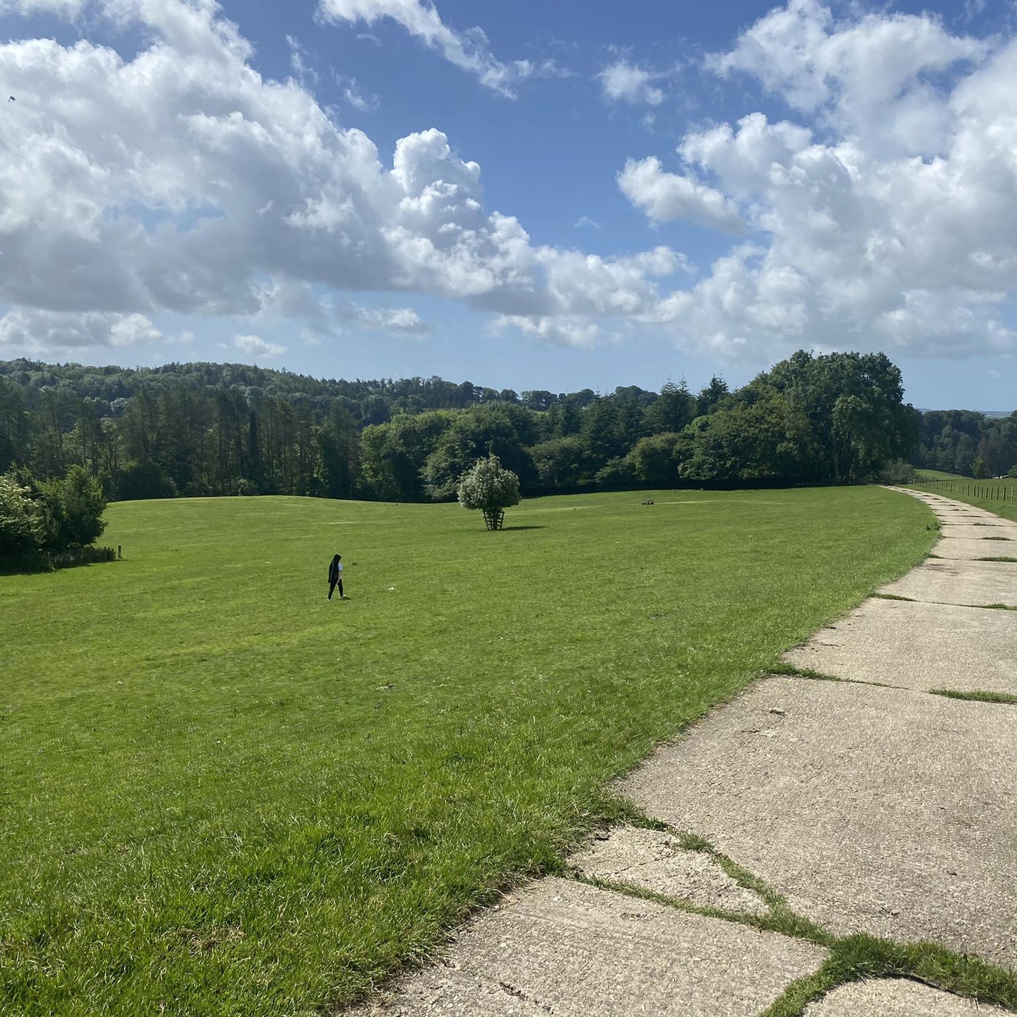
Lovely bit of off road riding
0
0


If you’re looking to play "King of the Hill," Neroche Castle is your ultimate hidden playground in the Blackdown Hills. This isn't your typical fairytale stone fortress; it’s a massive Norman "motte-and-bailey" earthwork that looks like a giant green multi-layered cake. Ancient Earthworks: Scramble up the steep banks to see the impressive defensive ditches that kept invaders out nearly 1,000 years ago. Epic Views: On a clear day, the summit offers a "top-of-the-world" vista stretching all the way to the Quantock Hills and the Bristol Channel. Woodland Wanders: The surrounding forest is perfect for a shadowy, atmospheric stroll through the pines.
1
0

An informative 3D view of the geology under the landscape of Neroche and Staple Hill
0
0
Castle Neroche is a significant historical site in Somerset, England, located on the northern escarpment of the Blackdown Hills. It is not a standing stone castle today, but rather a complex of impressive earthworks that reveal a long history of use.
1
0

Donyatt Halt Records for Donyatt Halt state: "This halt, opened on May 5th, 1928, has a single platform edged with wooden sleepers, and a small wooden shelter. A pathway leads up from the platform to the road, which crosses the line by an overbridge at the Ilminster end of the platform. An ornate oil lamp stands at the top of the path and there are various posts with brackets for hanging oil lamps in winter." It would be the guard's duty to light and extinguish these lamps. Five trains a day operated in each direction taking about 45 minutes for the 15 - mile journey from Taunton to Chard, having made stops at Thornfalcon, Hatch, Ilton, Ilminster and Donyatt. Donyatt.com
0
0

Perfectly placed after a steep climb with wonderful views across the levels and beyond...
0
0
Frequently Asked Questions
How many mountain bike trails are available around West Crewkerne?
There are 11 mountain bike trails documented around West Crewkerne on komoot, offering a range of experiences for different skill levels. These include 5 easy, 5 moderate, and 1 difficult route.
Are there any easy mountain bike trails suitable for beginners or families?
Yes, West Crewkerne offers several easy mountain bike trails. A good option is the Birchfield Park Playground – Ninesprings Café loop from Martock, which is 19.5 miles (31.4 km) long and features hard-packed dirt surfaces, suitable for various fitness levels.
What kind of terrain can I expect on mountain bike trails in West Crewkerne?
The terrain around West Crewkerne is varied, featuring hard-packed dirt surfaces, challenging hills, and wooded sections. Trails often wind past secluded lakes and streams, providing a diverse and engaging riding experience.
Are there any dog-friendly mountain bike trails in the area?
While specific dog-friendly designations for mountain bike trails are not always explicit, many public bridleways and trails in the West Crewkerne area, including those in places like Ham Hill Country Park, generally allow well-behaved dogs on leads. Always check local signage and be mindful of livestock and other trail users.
What natural features or landmarks can I see while mountain biking around West Crewkerne?
You can encounter several notable natural features and landmarks. Ham Hill Country Park is a significant attraction. You might also find viewpoints like Pilsdon Pen Summit and Trig Point, offering fine views over the Dorset countryside, or explore wooded areas like Coney's Castle Hillfort and Bluebell Woods.
Is there parking available for mountain bikers near the trails?
Parking is generally available at popular starting points for trails, such as Ham Hill Country Park. For specific routes, it's advisable to check the route details on komoot for suggested parking locations near the trailhead.
Can I reach mountain bike trails near West Crewkerne using public transport?
Public transport options to trailheads can be limited in rural areas like West Crewkerne. While some villages like Martock and Ilminster may have bus services, direct access to specific trail starting points might require a short ride or walk. Planning your journey in advance is recommended.
Are there any circular mountain bike routes in West Crewkerne?
Yes, many of the mountain bike routes around West Crewkerne are designed as loops, allowing you to start and finish at the same point. Examples include the Market House – Hedgecock Hill Wood loop from Martock and the Ham Hill Country Park – Hollow Lane loop from Merriott.
What do other mountain bikers say about the trails in West Crewkerne?
The mountain bike trails around West Crewkerne are highly rated by the komoot community, with an average score of 4.7 stars from 4 reviews. Riders often praise the varied landscapes, wooded terrain, and the options available for different ability levels.
Are there any cafes or pubs near the mountain bike trails for refreshments?
Yes, you can find cafes and pubs in nearby towns and villages such as Crewkerne, Martock, and Ilminster. Ham Hill Country Park also has facilities, including a cafe, which can be a convenient stop during or after your ride.
Do I need a permit to mountain bike on trails in the West Crewkerne area?
Generally, you do not need a specific permit to mountain bike on public bridleways and designated trails in the West Crewkerne area. However, always respect private land and adhere to any local regulations or signage, especially within nature reserves or country parks.
What is a good moderate mountain bike trail for experienced riders?
For a moderate challenge, consider the Donyatt Halt – Castle Neroche Woods loop from Ilminster. This 14.8-mile (23.9 km) trail features challenging hills and wooded terrain, requiring good fitness.
Most popular attractions around West Crewkerne

Get inspired with the komoot mobile app


Explore more
Browse the best MTB trails in other regions.
