The best road cycling routes around Bradpole
4.5
(82)
1,502
riders
21
rides
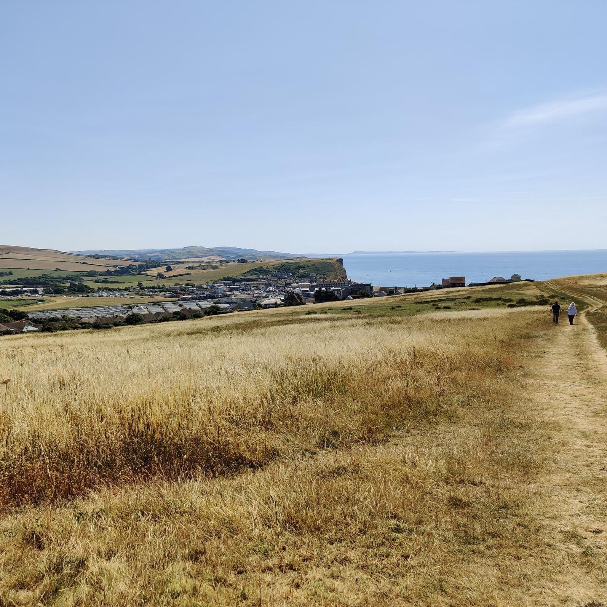
Road cycling around Bradpole features a landscape characterized by rolling hills, open countryside, and scenic viewpoints. The region includes moderate ascents and descents, offering varied terrain for road cyclists. Routes often traverse quiet country roads, connecting small villages and providing expansive views of the surrounding area.
Best road cycling routes around Bradpole
- The most popular road cycling route is Conegar Hill Climb – View of Pilsdon Pen loop from Bridport, a 29.3 miles (47.1 km) trail that takes 2…
Last updated: October 18, 2026
33
riders
47.3km
02:26
600m
600m
Moderate road ride. Good fitness required. Mostly well-paved surfaces and easy to ride.
5.0
(2)
29
riders
32.5km
01:38
420m
420m
Moderate road ride. Good fitness required. Mostly well-paved surfaces and easy to ride.

25
riders
57.6km
02:44
660m
660m
Moderate road ride. Good fitness required. Mostly well-paved surfaces and easy to ride.
18
riders
64.2km
03:01
730m
730m
Moderate road ride. Good fitness required. Mostly well-paved surfaces and easy to ride.
17
riders
Moderate road ride. Good fitness required. Some segments of this route may be unpaved and difficult to ride.
Get access to more routes and recommendations from other explorers.
Already have an account?
Our route recommendations are based on thousands of hikes, rides, and runs completed by other people on komoot.
Start today with a free account
Your next adventure awaits.
Other adventures around Bradpole

Tips from the Community

Red Lion is a really nice pub for refreshments. It has a walled garden at the rear where you can safely leave bikes.
0
0

The view is worth the climb!
0
0

Great place to rest and take in the views
0
0

Gazing south from the high ridges of Pilsdon Pen, the lush Dorset countryside rolls out toward Symondsbury in a vibrant patchwork of green hills and deep dales. Punctuating the horizon is the unmistakable, tree-crowned peak of Colmer’s Hill, guiding the eye across spectacular views that reach all the way to the coast.
0
0
From the Pilsdon Pen car park, you are treated to a stunning, sweeping panorama of West Dorset’s rolling hills. Looking south, the lush Marshwood Vale opens up dramatically, framed by distant coastal ridges near Charmouth. It is an expansive, breathtaking introduction to the landscape before you even begin the hill climb.
0
0
Hardy’s Monument: climb 120 steps to look like a sweaty mess, just so you can stare at Dorset, the sea, and sheep that look like popcorn. On a clear day, you can see your house!
0
0
If you’re visiting St Mary's Church in Marshwood, you’re stepping into a Victorian "reboot" of a much older story. While it looks like a classic 19th-century country church, its history is a bit of a survivor's tale, involving ruins, 2,000-person parties, and birds hidden in the stone. Opening Times The church is part of the Golden Cap Team of Churches and is generally open every day for visitors (typically from around 10:00 AM to 4:00 PM). Sunday Best: Services are usually held at 11:00 AM, but check the local noticeboard in the porch—it's the village's "analog social media" and always has the most up-to-date timings. School Days: The church has a very cool partnership with the adjacent primary school. Don't be surprised if you see kids using the building as a classroom or hall! The "New" Old Church The original medieval chapel was closer to Marshwood Castle but became a ruin by the 1600s. The current building was a 19th-century "do-over": The Party of 1840: When they laid the foundation stone for the new tower in 1840, about 2,000 people turned up to watch. That’s a massive crowd for a tiny village—it must have been the Iron Age equivalent of a stadium concert! The "Pecking Birds": Keep a sharp eye on the stone pillars inside. The capitals (the tops of the pillars) are carved with "stiff-leaf" foliage and tiny birds pecking at the leaves. It’s like a Victorian version of Where's Waldo. A Bargain Rebuild: Most of the church was rebuilt in 1884 for just £900. While that sounds cheap now, back then it was a huge community effort led by the local Reverend. Why it’s Worth a Peek Aside from the bird-spotting, the church offers a quiet, contemplative atmosphere with great views over the Marshwood Vale. It’s constructed from local rubble walls with ashlar dressings, giving it a rugged, "honest" look that perfectly matches the surrounding Dorset hills.
0
0
Gemini said If you find yourself in the rolling hills of West Dorset, the Church of St John the Baptist in Broadwindsor is a classic, "slow-paced" country church that packs a surprising amount of history into its quiet stone walls. It’s perched on a high spot right in the heart of the village, looking out over the square like it’s been keeping watch forever (which, to be fair, it mostly has). Here’s why it’s worth a wander: A Royal Fugitive’s Hiding Spot The village’s biggest claim to fame involves a high-stakes game of hide-and-seek. After losing the Battle of Worcester in 1651, King Charles II fled for his life and spent a night right here in Broadwindsor. While the King was hiding in a nearby inn (now private cottages), Parliamentarian soldiers actually arrived in the village to search it. Legend says he only escaped because a local woman went into labor in the same building, causing such a chaotic distraction that the soldiers moved on without finding him. He eventually escaped to France, but the church stands as a silent witness to that tense night. The "Witty" Rector In the 1630s, the church was led by Thomas Fuller, a man described as one of the first English writers to actually make a living from his pen. He was famous for his "pregnant wit" and once said, "Charity begins at home, but should not end there." * Even today, the village is very proud of him—you’ll often find his quotes inscribed in the local community pub, The White Lion, just down the road. What to Look For Inside The "Wonky" Architecture: The church has a mix of styles because it’s been rebuilt and patched up over nearly 900 years. You’ll see heavy, rounded Norman arches on one side of the nave and more pointed "Early English" ones on the other. It gives the interior a slightly mismatched, organic feel. The Ancient Font: There is a square font made of Purbeck Marble that dates back to the early 1200s. It’s been used to baptize village children for eight centuries. The Bells: The tower holds a ring of six bells. Some of them are "pre-Reformation," meaning they’ve been swinging in that tower since before Henry VIII broke away from Rome. The "Compromise" Clock: If you’re there during the day, you’ll hear the clock chime. There was a recent local debate about whether it should chime at night; in a very "British village" move, they compromised—it now stays quiet from 9:00 PM to 6:00 AM so the neighbors can sleep!
0
0
Frequently Asked Questions
How many road cycling routes are available around Bradpole?
There are over 20 road cycling routes around Bradpole, catering to various skill levels. These routes are highly rated by the komoot community, with an average score of 4.3 stars from over 250 cyclists.
Are there any easy road cycling routes suitable for beginners in Bradpole?
Yes, Bradpole offers some routes suitable for beginners. While most routes feature moderate ascents and descents, there is at least one easy road cycling route available. These typically traverse quieter country roads, allowing for a more relaxed ride.
What kind of terrain can I expect on road cycling routes around Bradpole?
Road cycling around Bradpole is characterized by rolling hills, open countryside, and scenic viewpoints. You'll encounter moderate ascents and descents, with routes often winding through quiet country roads connecting small villages and offering expansive views of the surrounding area.
Are there challenging road cycling routes for experienced cyclists?
Yes, for experienced cyclists seeking a challenge, Bradpole offers several routes with more significant elevation gains. There are 8 difficult routes available, providing more demanding climbs and longer distances to test your endurance.
What are some scenic viewpoints or landmarks I can see along the road cycling routes?
Many routes offer stunning views of the local landscape. You might pass by prominent natural features such as Pilsdon Pen Summit and Trig Point, or enjoy coastal vistas near Golden Cap Summit and West Bay Cliffs. The routes are designed to showcase the region's natural beauty.
Are there circular road cycling routes around Bradpole?
Yes, many of the road cycling routes around Bradpole are circular, allowing you to start and end your ride in the same location. An example is the Winyard's Gap Inn – Eggardon Hill Trig Point loop from Bridport, which offers a comprehensive tour of the area.
What is the best time of year for road cycling in Bradpole?
The best time for road cycling in Bradpole is generally from spring through autumn, when the weather is milder and the countryside is in full bloom. Summer offers longer daylight hours, while spring and autumn provide pleasant temperatures and fewer crowds. Always check local weather forecasts before heading out.
Are there opportunities for cafe stops or refreshments along the routes?
Yes, many road cycling routes around Bradpole pass through or near charming villages where you can find cafes, pubs, or local shops for refreshments. The region's network of country roads often connects these small settlements, making it convenient to plan a stop.
Is parking available near the starting points of road cycling routes?
Parking is generally available in the larger towns and villages near Bradpole, such as Bridport, which often serve as starting points for many routes. Look for public car parks in these areas, though availability and fees may vary.
Can I access road cycling routes in Bradpole using public transport?
Public transport options in rural areas like Bradpole can be limited. While some bus services connect larger villages and towns, it's advisable to check local bus schedules and routes in advance if you plan to use public transport to reach your starting point. Bringing a bike on buses may also have restrictions.
What is a good moderate route to explore the Bradpole area?
A popular moderate route is the Eggardon Hill Trig Point – Hardy's Monument loop from Bridport. This 35.8-mile (57.6 km) route features varied terrain and offers a good sense of the region's rolling hills and scenic beauty.
How long do road cycling routes in Bradpole typically take to complete?
The duration of routes varies depending on distance and elevation. For example, the View of Pilsdon Pen – Broadwindsor Post Office loop from Bridport is about 20.2 miles (32.5 km) and can be completed in approximately 1 hour 38 minutes, while longer routes can take over 3 hours.
Most popular routes around Bradpole
Most popular attractions around Bradpole

Get inspired with the komoot mobile app


Explore more
Browse the best Road cycling routes in other regions.
