The 10 Most Amazing Peaks around Beaminster
Best mountain peaks around Beaminster are primarily rolling hills, offering significant historical interest, panoramic views, and diverse walking opportunities. The Dorset landscape surrounding Beaminster features several notable peaks, including some of the highest points in the county. These hills provide a range of experiences, from exploring ancient hill forts to enjoying expansive countryside vistas. The area is characterized by its undulating terrain, making it a destination for those seeking natural beauty and outdoor activity.
Best mountain peaks around Beaminster
- The…
Last updated: June 29, 2026
Pilsdon Pen Summit and Trig Point
Highlight • Natural Monument
Tip by

Doghouse Hill
Highlight (Segment) • Summit
Translated by Google •
Tip by

Sign up now to discover places like this
Get recommendations on the best single tracks, peaks, & plenty of other exciting outdoor places.
Sign up for free
Colmer's Hill
Highlight • Viewpoint
Tip by

Thorncombe Beacon: Smugglers' Song, Beacon, and Watering Well
Highlight (Segment) • Summit
A Smugglers song by Rudyard Kipling
IF you wake at midnight, and hear a horse's feet,
Don't go drawing back the blind, …
Tip by

Lambert's Castle Hillfort
Highlight • Viewpoint
Tip by
Sign up for free to discover even more peaks around Beaminster.
Sign up for free
Already have an account?
Start today with a free account
Your next adventure awaits.
Login or Signup
Popular around Beaminster
Hiking the Greater Ridgeway — Following Roman roads across England
Hiking the Orange Way — Southern England in the footsteps of a king
Wessex Ridgeway — An ancient and beautiful ridge hike
Hiking around Beaminster
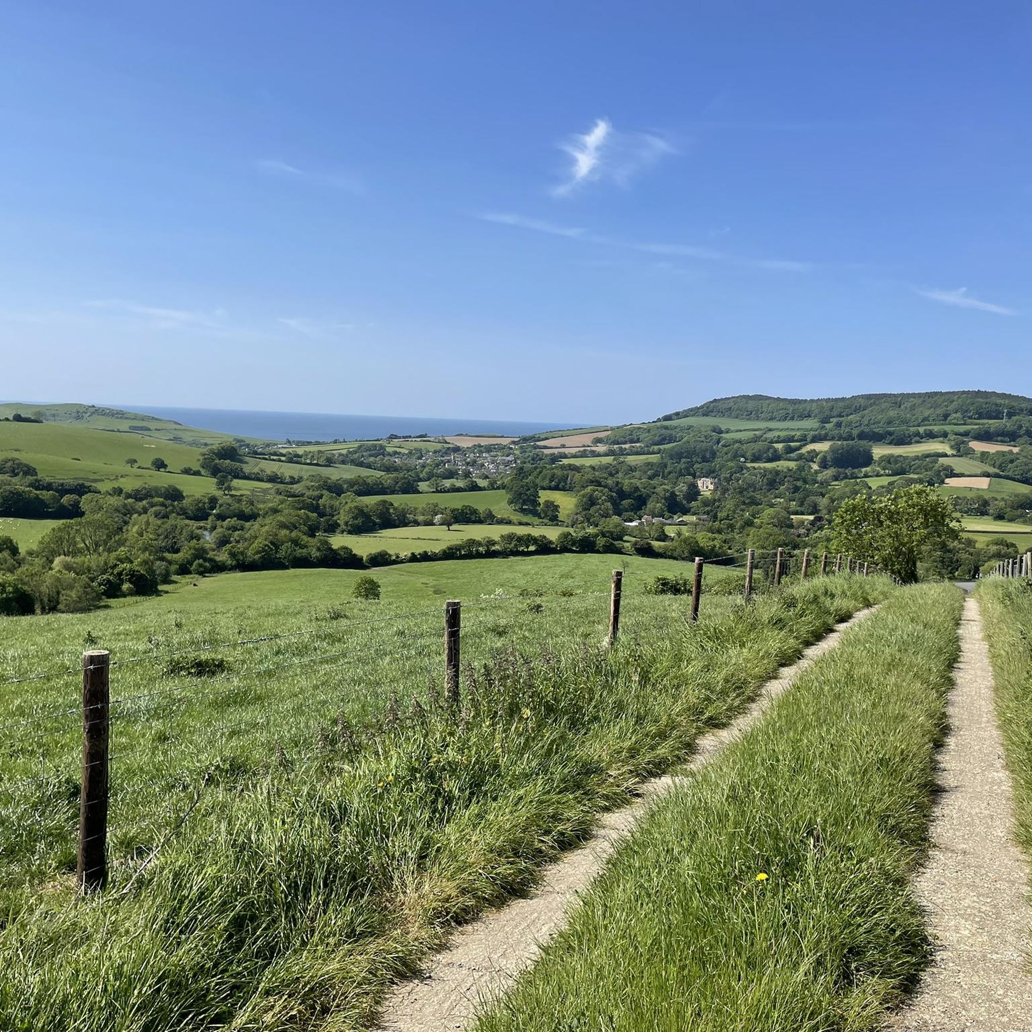
MTB Trails around Beaminster
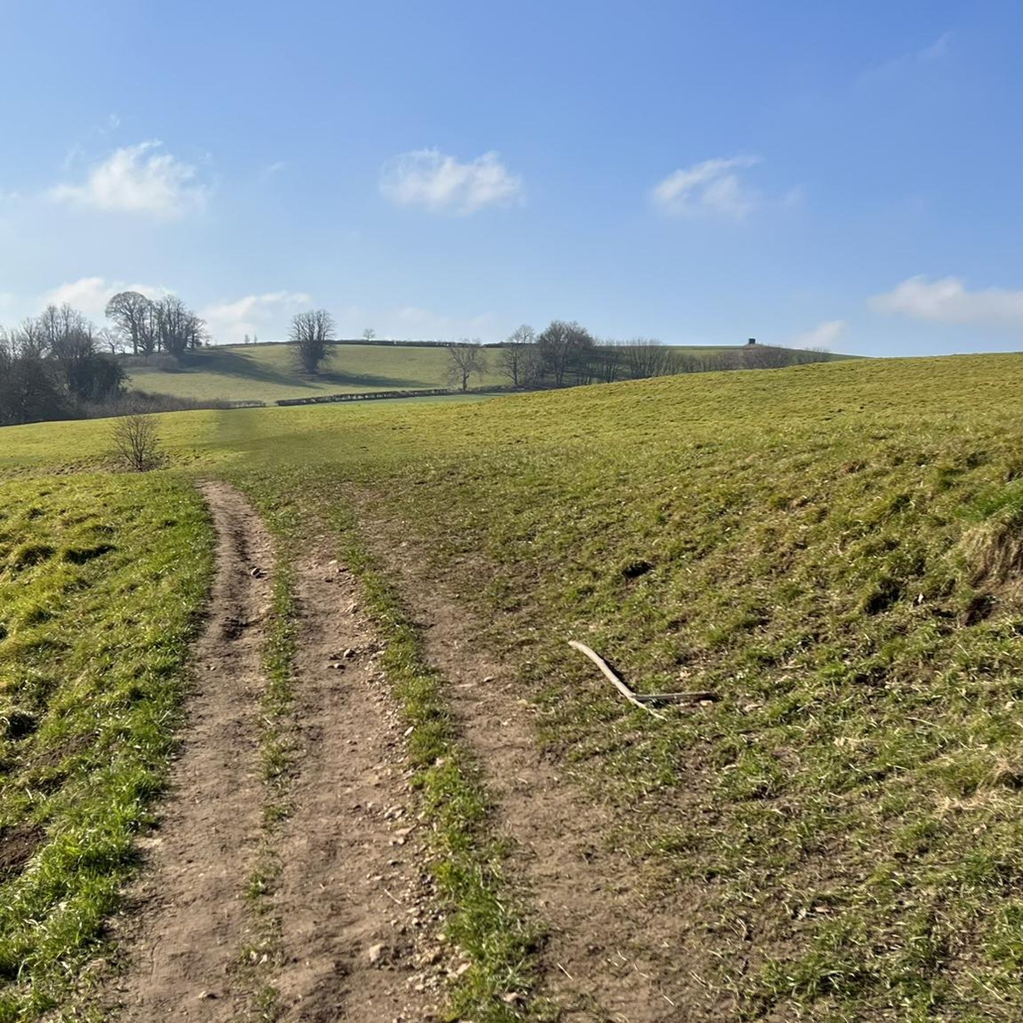
Road Cycling Routes around Beaminster
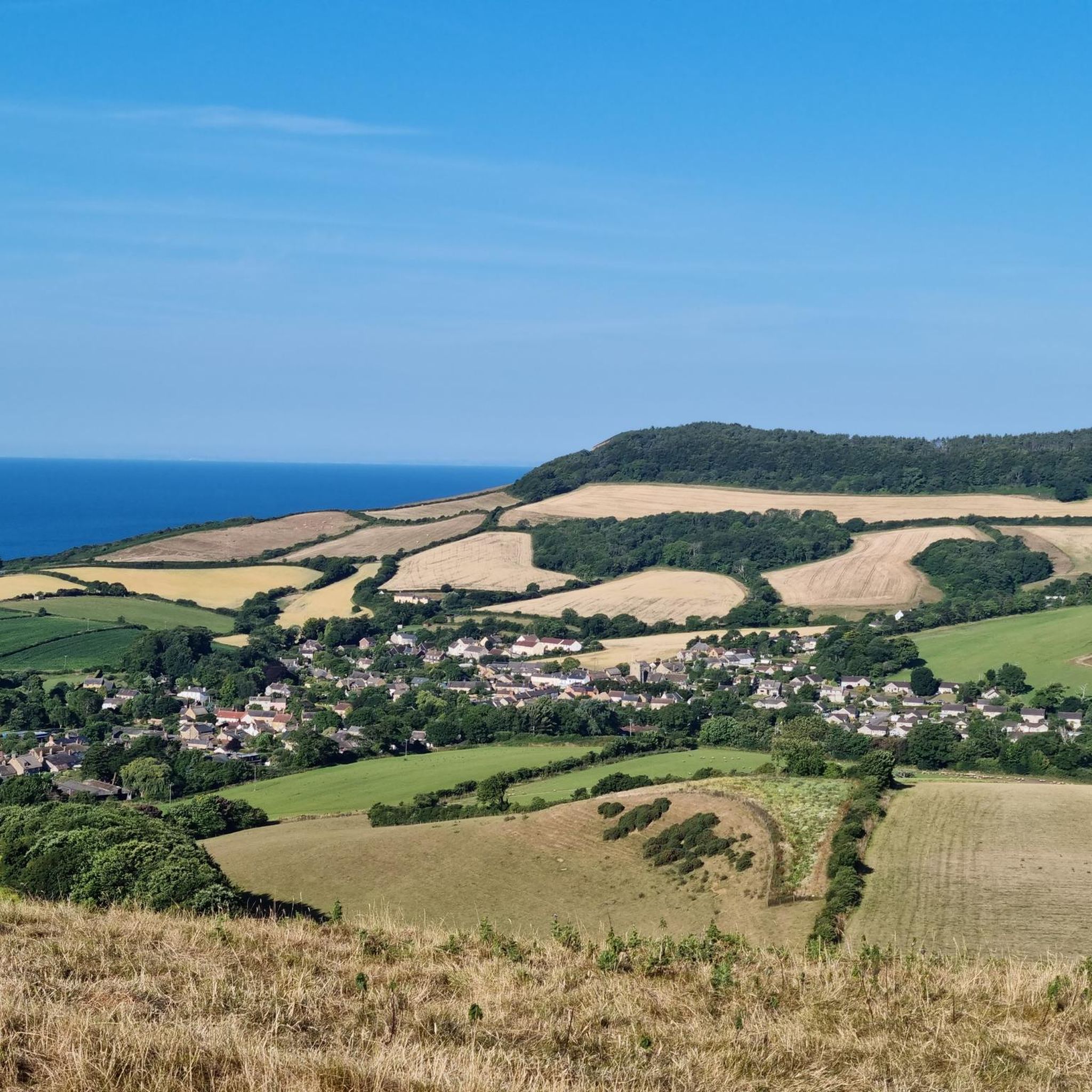
Running Trails around Beaminster
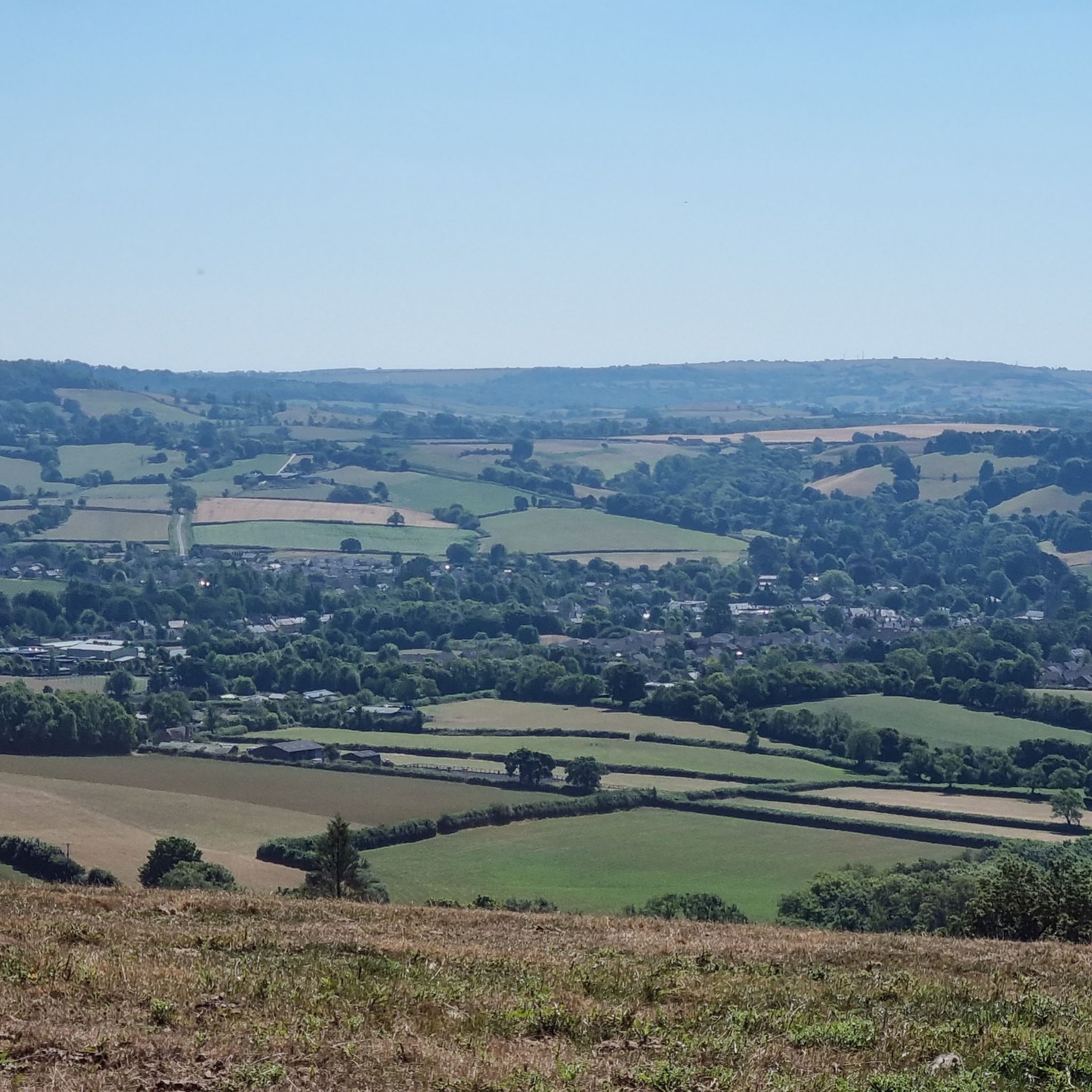
Cycling around Beaminster
Other adventures around Beaminster


Tips from the Community

From the trig point at Pilsdon Pen summit, you get spectacular, wide-open views across Dorset. Looking south, the eye sweeps over the lush farmlands and rolling hills of the Marshwood Vale, extending all the way down to Bridport and the dramatic cliffs of the Jurassic Coast.
0
0
Quite the climb up, regardless of which side you choose. Experts now believe people lived on Doghouse Hill on the Golden Cap estate up to 10,000 years ago. Finds included a stone hearth, fire pit and pot shards from Bronze Age periods (2,500 to 1,000BC) and others from the Mesolithic Age (10,000 to 4,000BC) Martin Papworth, from the National Trust, said: "Although it's a stunning coastal site now, 6,000 to 8,000 years ago this area would have been over a mile inland. To find ancient pottery decorated with fingernail impressions and touch them with one's own hand, that's real contact with the past Martin Papworth, National Trust "The Mesolithic people who lived on top of Doghouse hill would have pre-dated farming, so would have been hunter-gatherers using these flints to work hides, cut meat and scrape fat from animal skins. "After millennia of erosion, it's at risk of disappearing into the sea itself."
0
0
The watering well. Man made well with rocks and piping, I imagine that this is a watering spot for the wildlife in the area. mainly deer. clear and clean water.
0
0
Thorncombe Beacon is a hill between Bridport and Charmouth in Dorset, England. It lies about 1 kilometre (0.62 mi) west of Eype Mouth and 2 kilometres (1.2 mi) east of Seatown. It is in the south-west part of Symondsbury parish close to the parish of Chideock. It is 157 metres (515 ft) high, compared to 191 metres (627 ft) for Golden Cap which lies about 3 kilometres (1.9 mi) to the west. It forms part of the Jurassic Coast, a World Heritage Site and the South West Coast Path and the Monarch's Way skirt the hilltop. The hill is owned by the National Trust. Three bowl barrows to the north-east of the summit constitute a scheduled monument. In 1588, a chain of beacons was built along the south coast to warn of the approach of the Spanish Armada, which had been sighted off Plymouth, and Thorncombe Beacon was one of these.
1
0
3 little things to see on this section. A Smugglers song by Rudyard Kipling IF you wake at midnight, and hear a horse's feet, Don't go drawing back the blind, or looking in the street, Them that ask no questions isn't told a lie. Watch the wall my darling while the Gentlemen go by. Five and twenty ponies, Trotting through the dark - Brandy for the Parson, 'Baccy for the Clerk. Laces for a lady; letters for a spy, Watch the wall my darling while the Gentlemen go by! Running round the woodlump if you chance to find Little barrels, roped and tarred, all full of brandy-wine, Don't you shout to come and look, nor use 'em for your play. Put the brishwood back again - and they'll be gone next day ! If you see the stable-door setting open wide; If you see a tired horse lying down inside; If your mother mends a coat cut about and tore; If the lining's wet and warm - don't you ask no more ! If you meet King George's men, dressed in blue and red, You be careful what you say, and mindful what is said. If they call you " pretty maid," and chuck you 'neath the chin, Don't you tell where no one is, nor yet where no one's been ! Knocks and footsteps round the house - whistles after dark - You've no call for running out till the house-dogs bark. Trusty's here, and Pincher's here, and see how dumb they lie They don't fret to follow when the Gentlemen go by ! 'If You do as you've been told, 'likely there's a chance, You'll be give a dainty doll, all the way from France, With a cap of Valenciennes, and a velvet hood - A present from the Gentlemen, along 'o being good ! Five and twenty ponies, Trotting through the dark - Brandy for the Parson, 'Baccy for the Clerk. Them that asks no questions isn't told a lie - Watch the wall my darling while the Gentlemen go by !
2
0

The summit of this hill represents the second highest point in Dorset, and from here, you'll have breathtaking panoramic views. At the top, there was an Iron Age hillfort, which was excavated in the mid-20th century.
0
0

Colmer's Hill is a fantastically distinctive, conical hill in the west of Dorset. It rises above the stunning Symondsbury Estate and makes for an excellent objective on a walk in the area. You can spot it both for its shape and the pine trees on its otherwise bare summit.
0
0

Very nice hiking trail with a great view. It is believed that this area was already settled in the Mesolithic. However, 6,000 to 8,000 years ago, the residents of that time had a completely different view, because the area was more than a mile inland.
1
0
Frequently Asked Questions
What are some of the most notable mountain peaks around Beaminster?
The Beaminster area, characterized by rolling hills, offers several notable peaks. Pilsdon Pen Summit and Trig Point is the second highest point in Dorset, featuring an Iron Age hill fort and panoramic views. Another significant peak is Lewesdon Hill, which holds the distinction of being the highest point in Dorset at 279 meters (915 ft), known for its woodlands and extensive vistas.
Are there any mountain peaks with historical significance near Beaminster?
Yes, several peaks boast rich history. Lambert's Castle Hillfort is an Iron Age hillfort, approximately 2,500 years old, with visible earthworks and views of the surrounding landscapes. Pilsdon Pen also features the ramparts of an Iron Age hill fort, offering a glimpse into the region's past. Eggardon Hill is another prominent hill with a well-preserved Iron Age hill fort.
What kind of views can I expect from the peaks around Beaminster?
The peaks around Beaminster offer breathtaking panoramic views across the diverse Dorset landscape. From Pilsdon Pen Summit and Trig Point, you can see the rolling Dorset countryside, and in clear conditions, even Golden Cap, Marshwood Vale, and the ocean. Lewesdon Hill also provides extensive views across the surrounding countryside.
Are there family-friendly walking options on the peaks near Beaminster?
Yes, the Beaminster area offers various walking opportunities suitable for families. Beaminster Hill, though not as high as others, is a starting point for several local circular walks, ranging from easy to moderate. These allow families to explore the 'green river valleys, ancient trackways, and wooded hills' directly from Beaminster.
What are the best hiking trails near Beaminster's peaks?
For hiking, you can explore routes around Lewesdon Hill, with options like the 'Lewesdon Hill – Broadwindsor Post Office loop' which is an easy 5 km hike. For more moderate options, the 'Broadwindsor & Beaminster loop via the Monarch's Way and the Wessex Ridgeway' covers about 17 km. You can find more hiking routes in the Hiking around Beaminster guide.
Can I find challenging hikes around Beaminster's peaks?
While many walks are moderate, some peaks like Doghouse Hill are described as quite a climb, regardless of the side you choose. The terrain in Dorset is characterized by rolling and billowing hills, offering varied difficulty levels. For a broader range of hiking options, including more challenging ones, consult the Hiking around Beaminster guide.
What is the highest point in Dorset near Beaminster?
Lewesdon Hill, standing at 279 meters (915 ft), is the highest point in Dorset. It offers a popular moderate hike with stunning vistas across the countryside. For many years, there was a debate whether Lewesdon Hill or Pilsdon Pen was higher, until new measurements confirmed Lewesdon's slightly greater elevation.
Are there any unique or distinctive peaks to visit?
Colmer's Hill is a fantastically distinctive, conical hill that towers over the town of Symondsbury. It's easily recognizable by its shape and the pine trees on its otherwise bare summit, offering breathtaking views over the Marshwood Vale.
What other outdoor activities are available near these peaks?
Beyond hiking, the area around Beaminster is excellent for road cycling. Routes like the 'Eggardon Hill Trig Point – Beaminster Village Centre loop' offer moderate cycling experiences. You can discover more options in the Road Cycling Routes around Beaminster guide.
What do visitors enjoy most about the mountain peaks around Beaminster?
Visitors particularly appreciate the combination of natural beauty, historical significance, and the extensive views. The ancient Iron Age hill forts, like those found on Pilsdon Pen and Lambert's Castle, offer a unique connection to the past. The panoramic vistas from summits like Pilsdon Pen Summit and Trig Point are frequently highlighted as a major draw.
Are there any coastal peaks or viewpoints near Beaminster?
Yes, Thorncombe Beacon is a coastal peak located between Bridport and Charmouth, forming part of the Jurassic Coast. It's known for its historical role as a beacon site in 1588 and offers views along the coastline. Doghouse Hill, while now coastal, was once over a mile inland and offers great views, though it involves a significant climb.
What is the best time of year to visit the peaks around Beaminster?
The Beaminster area, with its rolling hills and footpaths, is generally enjoyable throughout the warmer months. Spring and autumn offer pleasant temperatures for walking and clear views. While specific weather conditions vary, these seasons typically provide good hiking conditions to explore the countryside and historical sites.
Most popular attractions around Beaminster

Get inspired with the komoot mobile app


Explore more
See even more amazing summits around Beaminster with these guides:
