The best walks and hikes around Mill Loughan
4.7
(16)
168
hikers
12
hikes
Hiking around Mill Loughan encompasses a varied landscape, primarily featuring paths alongside the River Bann and through established woodlands. The terrain generally consists of gentle gradients with modest elevation changes. This area offers accessible routes suitable for casual walks and exploring local natural features.
Best hiking trails around Mill Loughan
- The most popular hiking route is View of the River Bann – Mountsandel Fort loop from Causeway Hospital, a 2.8 miles (4.5 km) trail that takes 1 hour 10…
Last updated: June 25, 2026
5.0
(2)
27
hikers
Easy hike. Great for any fitness level. Easily-accessible paths. Suitable for all skill levels.
5.0
(2)
26
hikers
4.00km
01:03
30m
30m
Easy hike. Great for any fitness level. Easily-accessible paths. Suitable for all skill levels.

Sign up for free
3.0
(1)
12
hikers
3.23km
00:52
40m
40m
Easy hike. Great for any fitness level. Easily-accessible paths. Suitable for all skill levels.
5.0
(2)
7
hikers
4.75km
01:16
50m
50m
Easy hike. Great for any fitness level. Easily-accessible paths. Suitable for all skill levels.
4
hikers
2.93km
00:45
20m
20m
Easy hike. Great for any fitness level. Easily-accessible paths. Suitable for all skill levels.
Get access to more routes and recommendations from other explorers.
Sign up for free
Already have an account?
Our route recommendations are based on thousands of hikes, rides, and runs completed by other people on komoot.
Start today with a free account
Your next adventure awaits.
Login or Signup
Popular around Mill Loughan

Tips from the Community


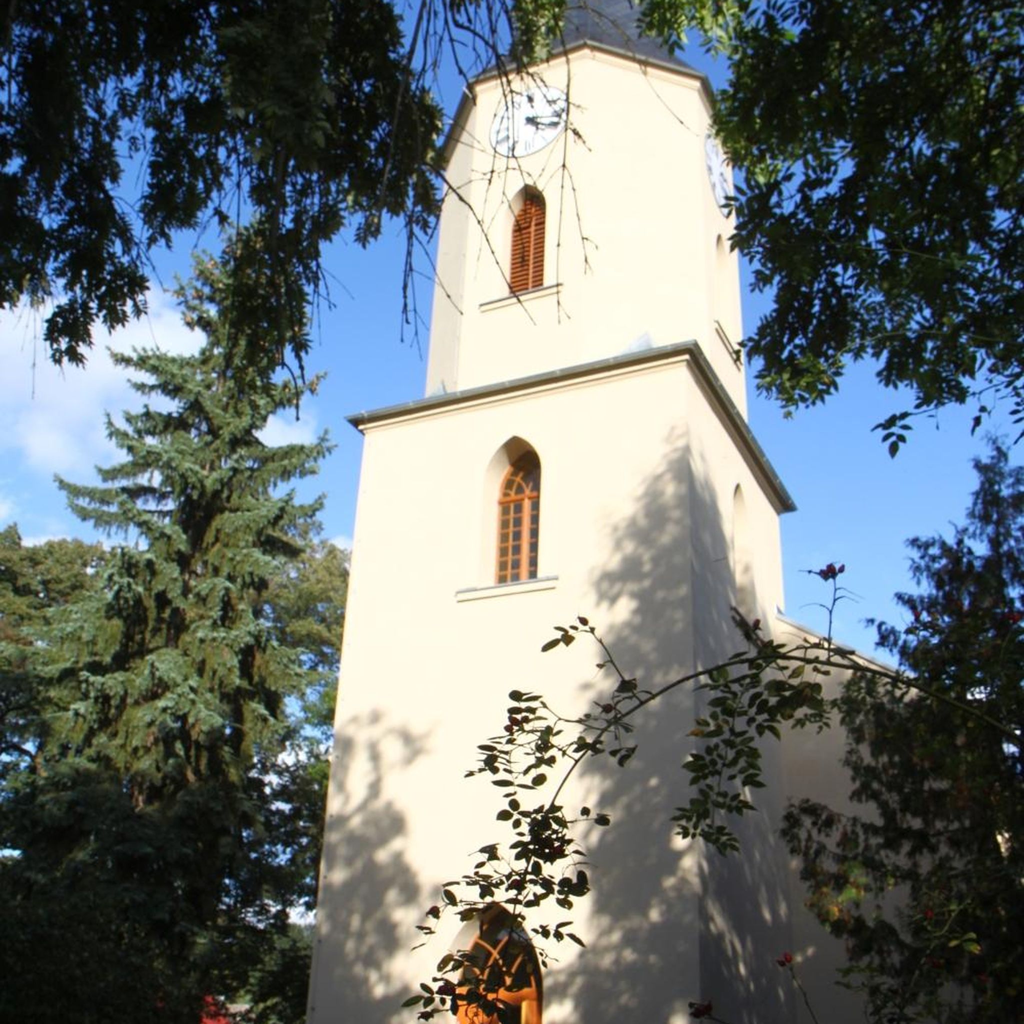
Mountsandel Fort is a prehistoric fort dating to the Mesolithic period that was reused in the Irish Middle Ages (10th to 11th centuries). Located in Coleraine, County Derry, the fort consists of a huge grassy mound hollowed out in the middle, overlooking the River Bann. A must-see for lovers of mysterious monuments!
1
0

In a very nice little square, with benches and many shops in the pedestrian area.
1
0

You can walk along a well defined forest path from the small car park near Coleraine Courthouse and from the Fort, you can see great views of the Salmon Leap (Weir) and Coleraine.
1
0
Frequently Asked Questions
How many hiking trails are available in the Mill Loughan area?
The Mill Loughan area offers a selection of 12 hiking trails. These routes primarily feature paths alongside the River Bann and through woodlands, providing diverse options for exploration.
What kind of terrain can I expect on hikes around Mill Loughan?
Hikes in the broader Loughan area offer varied terrain, from easily accessible paths to those with moderate climbs and descents. You can expect a mix of coastal paths, scenic glens, woodlands, and trails alongside loughs and rivers. The routes directly around Mill Loughan, as highlighted in this guide, generally consist of gentle gradients with modest elevation changes, making them largely accessible.
Are there easy hikes suitable for beginners or casual walkers?
Yes, the majority of trails in the Mill Loughan area are considered easy. Out of the 12 available routes, 11 are rated as easy, making them suitable for beginners, families, and those looking for a casual walk. An example is the Mountsandel Fort – Mountsandel Fort loop from Coleraine, an easy 2.5-mile path.
What natural features or attractions can I expect to see on hikes around Mill Loughan?
Hikers can enjoy a variety of natural features, including views of the River Bann, woodlands like Somerset Forest, and potentially coastal scenery and glens in the wider Loughan region. Some trails also offer impressive viewpoints overlooking areas like the Antrim Coast and Rathlin Island. The region is also known for its loughs and rivers, and areas like Sloughan Glen are noted for their woodland and grassland habitats.
Are there any waterfalls on the hiking trails near Mill Loughan?
While not directly on the routes listed in this guide, the broader Loughan area includes natural features such as Sloughan Glen, which is noted for having a fenced path leading to a waterfall. This offers an opportunity to experience a waterfall in the wider region.
What historical sites can be explored while hiking near Mill Loughan?
The area is rich in history. You can explore the historic Mountsandel Fort, which is featured on routes like the View of the River Bann – Mountsandel Fort loop from Causeway Hospital. The Mill Loughan Mound itself is an Anglo-Norman invasion period motte, an archaeological site with public access. In the wider region, Loughanleagh Mountain features ancient cairns recognized as burial chambers.
Are the hiking trails around Mill Loughan dog-friendly?
Many of the trails in the Mill Loughan area, particularly those through woodlands and along river paths, are generally suitable for dogs, provided they are kept under control. Always check local signage for specific restrictions, especially in nature reserves or protected areas, and ensure your dog is on a leash where required.
Are there circular walks available in the Mill Loughan area?
Yes, many of the routes in the Mill Loughan area are circular. For example, the Somerset Forest loop from Causeway Hospital is a popular circular trail, as are the various loops around Mountsandel Fort.
Is parking available for hikers in the Mill Loughan area?
Parking availability varies by trailhead. For routes starting from locations like Causeway Hospital or Coleraine, there are often designated parking areas. For specific routes, it's advisable to check the route details on komoot or local information for the most convenient parking options.
How can I reach the hiking trails around Mill Loughan using public transport?
While specific public transport links directly to every trailhead might be limited, major towns like Coleraine, which serves as a starting point for some routes such as the Mountsandel Fort – Mountsandel Fort loop, are generally accessible by public transport. From these points, you may need to walk or use local taxi services to reach more remote trailheads.
Are there any permits required for hiking in the Mill Loughan area?
Generally, no specific permits are required for hiking on public footpaths and trails in the Mill Loughan area. However, if you plan to visit specific heritage sites or private lands, it's always best to check for any access requirements or fees. For information on the Mill Loughan Mound itself, you can consult the official heritage sites website.
What do other hikers enjoy the most about hiking in Mill Loughan?
The hiking experience in Mill Loughan is highly rated by the komoot community, with an average score of 4.7 stars from over 16 reviews. Hikers often praise the tranquil river views, the peaceful woodland paths, and the accessibility of the routes, making them enjoyable for various fitness levels.
Most popular routes around Mill Loughan

Get inspired with the komoot mobile app


Explore more
Browse the best Hikes in other regions.
