The best road cycling routes around Stokeclimsland
4.4
(52)
2,494
riders
207
rides
Road cycling routes around Stokeclimsland are situated within the Tamar Valley National Landscape, offering diverse terrain for cyclists. The region features undulating roads, pastoral farmlands, and wooded valleys, with the River Tamar forming a prominent natural boundary. Cyclists encounter a landscape shaped by historic mining activities and distinctive Cornish hedges, providing varied visual interest. The area's elevation ranges from sea level to over 300 meters, presenting a mix of challenges and scenic perspectives.
Best road cycling routes around Stokeclimsland
- The…
Last updated: July 9, 2026
29
riders
85.6km
04:22
1,340m
1,340m
Hard road ride. Very good fitness required. Mostly well-paved surfaces and easy to ride.
26
riders
27.6km
01:16
270m
270m
Easy road ride. Great for any fitness level. Mostly well-paved surfaces and easy to ride.

Sign up for free
6
riders
21.6km
00:57
190m
190m
Easy road ride. Great for any fitness level. Mostly well-paved surfaces and easy to ride.
6
riders
39.2km
02:04
640m
640m
Moderate road ride. Good fitness required. Some segments of this route may be unpaved and difficult to ride.
9
riders
20.4km
01:03
290m
300m
Easy road ride. Great for any fitness level. Mostly well-paved surfaces and easy to ride.
Get access to more routes and recommendations from other explorers.
Sign up for free
Already have an account?
Our route recommendations are based on thousands of hikes, rides, and runs completed by other people on komoot.
Start today with a free account
Your next adventure awaits.
Login or Signup

Tips from the Community

Fab pub! Great food! Totally recommend! Make sue you call for table reservation! It really is that popular!!
0
0

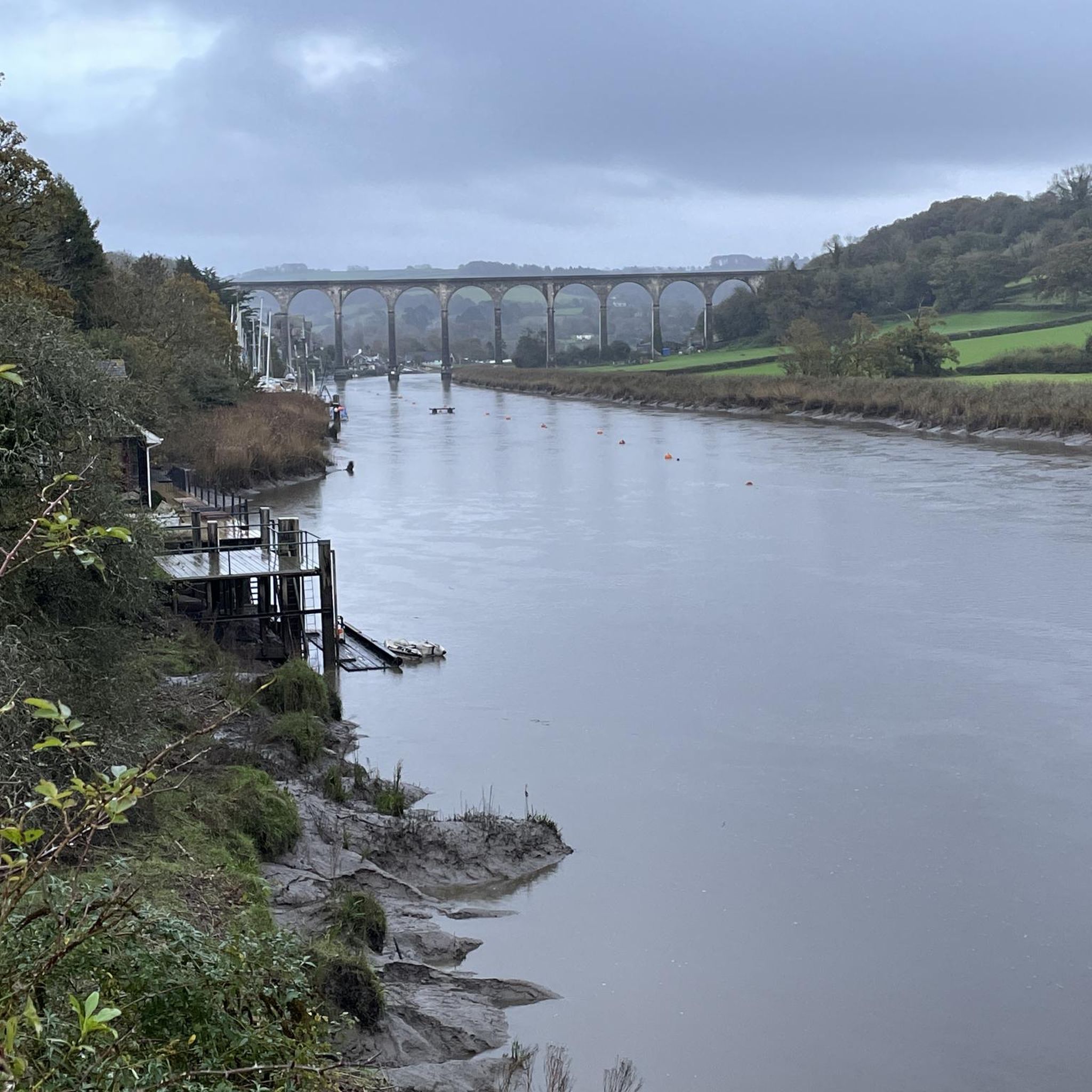
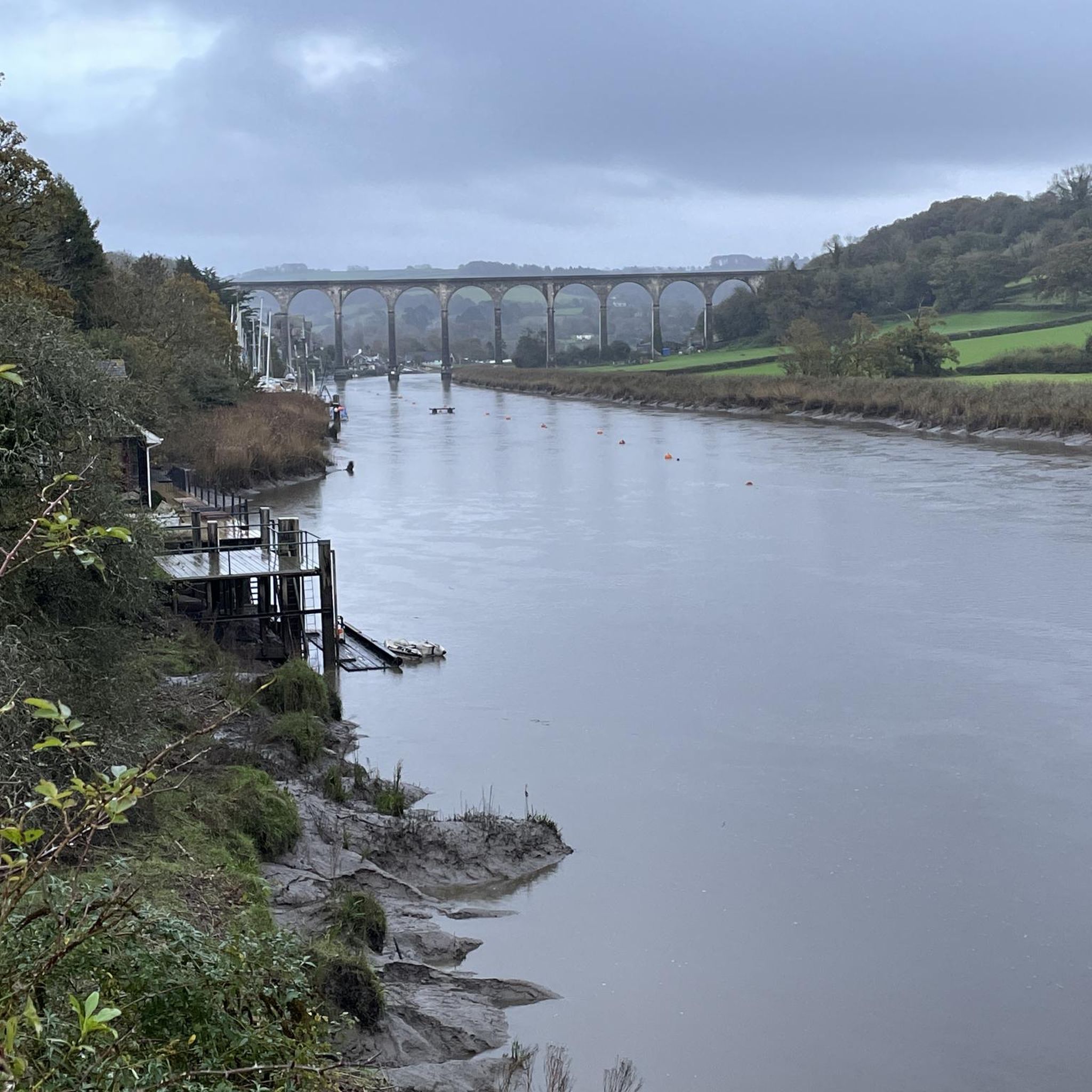
Spectacular bridge, very safe to cross by bike or on foot. At least when there is not a crosswind nor too many other users
0
0

There is a nice 'cook out' style cafe called 'Inky's' at Golitha Falls at about 3-4 miles from the end of the route. This route is very muddy and floods easily in winter but still easily navigable.
0
0

Numerous remains can still be seen today, including the route of the railway tracks that transported the ore to Looe Harbour and the engine houses that were used to pump water out of the mines or to lift out the rocks.
6
0
Cornwall's World Heritage Site In 2006 Cornwall and West Devon was declared a World Heritage Site because of the important role its mining history has played in metal extraction around the world. There was a saying in the late 19th century: "If there's a hole in the ground, you'll find a Cornish man in it." When Cornwall's mines failed, men travelled the world in search of riches and engine houses very similar to the one pictured above can be found in places as far away as Mexico, South Africa and New Zealand. The village of Minions exists thanks to mining. Before 1800 there was little here except a few farmhouses in the sheltered valleys. But in the 1830s copper was discovered beneath Caradon Hill and the area was soon flooded with miners from all over Cornwall.
6
0

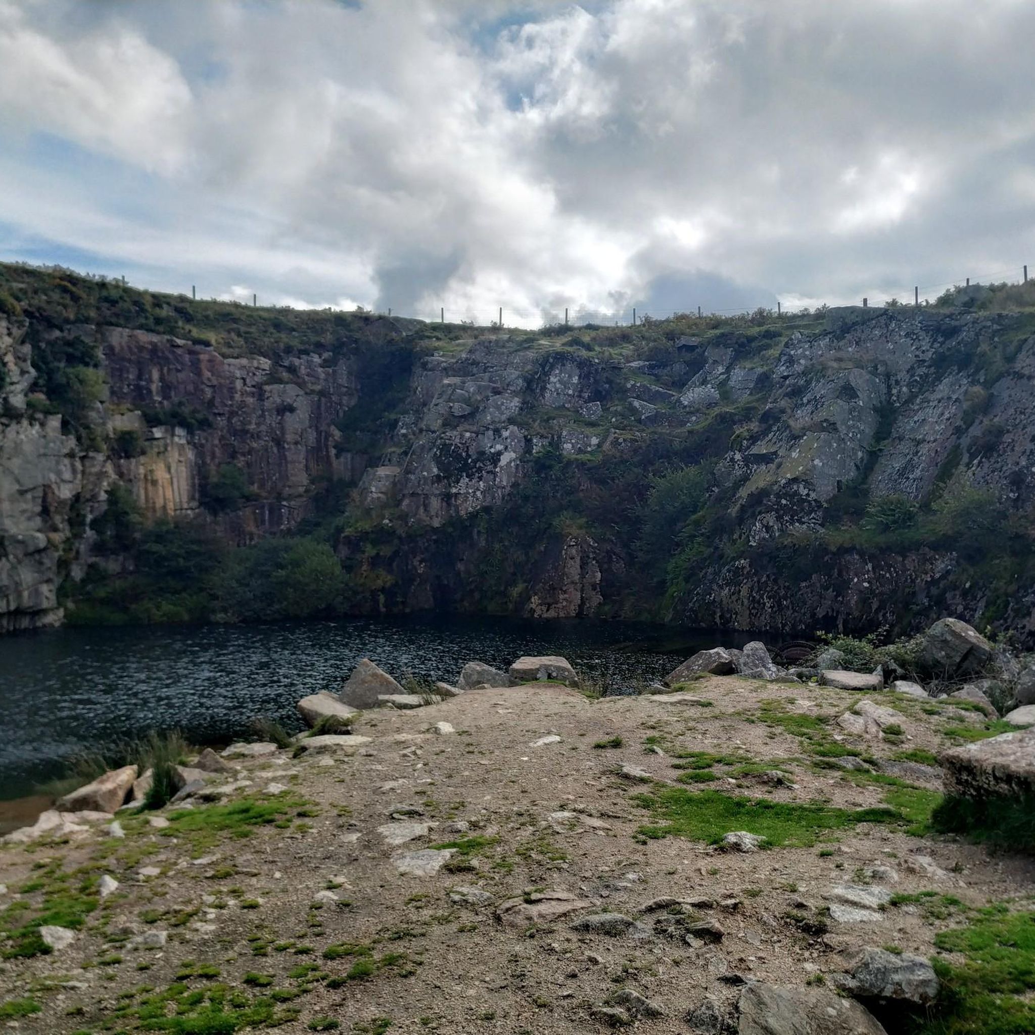
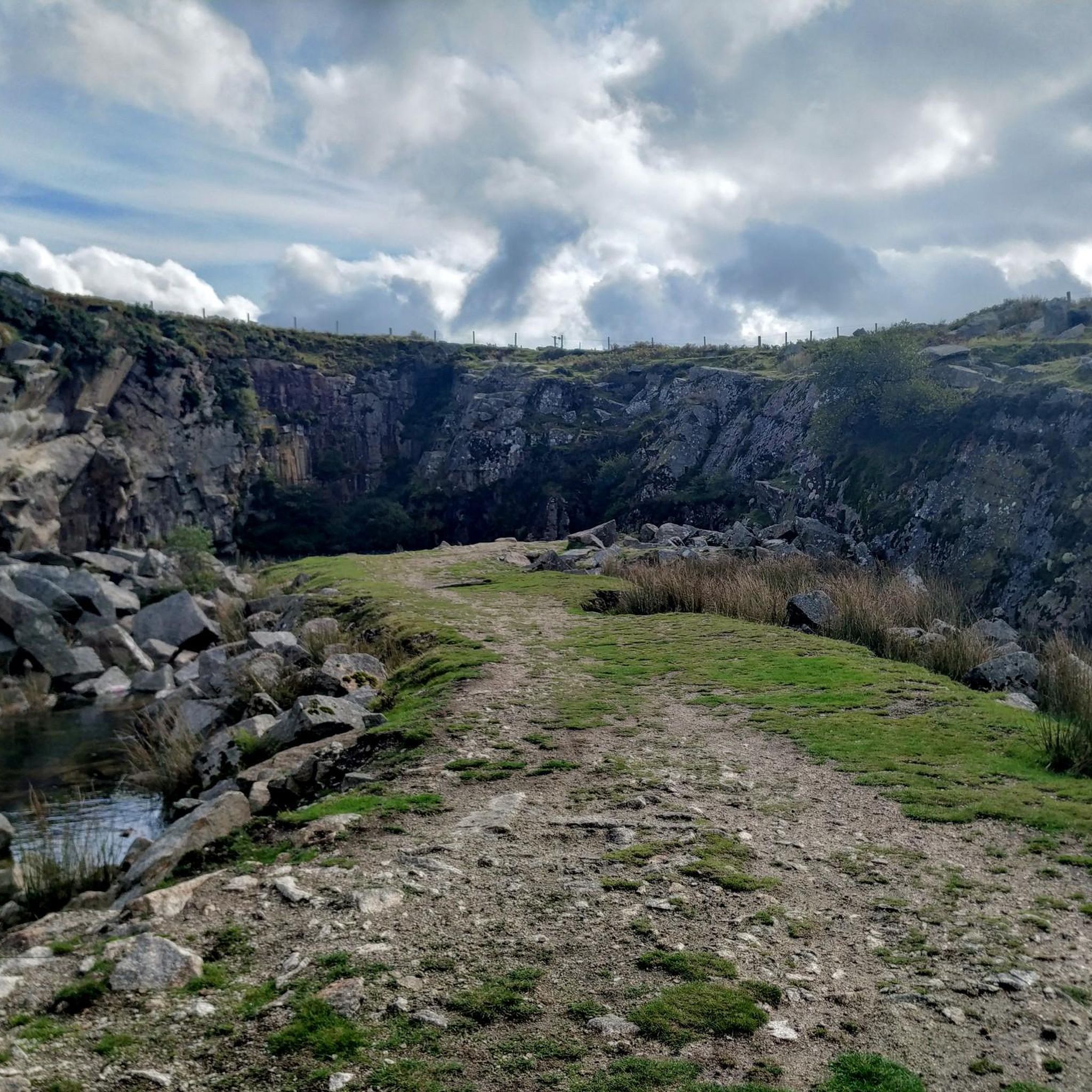
A hike from Minions will take you through a wonderful history life on Bodmin Moor. From the prehistoric Hurler's and Pipers to the mining industry in ruins here.
2
0
Frequently Asked Questions
What is the general difficulty level of road cycling routes around Stokeclimsland?
The road cycling routes around Stokeclimsland offer a diverse range of difficulties. You'll find a mix of easy, moderate, and difficult routes, catering to various fitness levels. The region's undulating terrain, characteristic of the Tamar Valley National Landscape, means even easier routes may include some gentle climbs, while difficult routes feature significant elevation gains.
Are there easy road cycling routes suitable for beginners in Stokeclimsland?
Yes, Stokeclimsland offers several easy road cycling routes perfect for beginners or those seeking a more relaxed ride. For instance, the Lewannick Down Plantation loop from Stoke Climsland is an easy 13.4-mile (21.6 km) trail through wooded areas and open countryside. Another accessible option is the Descent from Kit Hill loop from Bray Shop, which covers 17.2 miles (27.6 km) with moderate elevation.
Where can I find challenging road cycling routes near Stokeclimsland?
For experienced cyclists looking for a challenge, the Stokeclimsland area provides routes with substantial climbs and longer distances. A notable difficult route is the Cawsand Beach – View of the Rame Peninsula loop from Stoke Climsland, which spans 53.2 miles (85.6 km) and features significant elevation gain through varied coastal and inland scenery.
Are there options for longer road cycling tours around Stokeclimsland?
Absolutely. If you're looking for a longer ride, the Cawsand Beach – View of the Rame Peninsula loop from Stoke Climsland is an excellent choice, covering over 53 miles (85 km). This route allows you to explore a significant portion of the region's diverse landscape, from inland valleys to coastal views.
What kind of scenery can I expect on road cycling routes in the Stokeclimsland area?
Road cycling in the Stokeclimsland area, nestled within the Tamar Valley National Landscape, offers incredibly diverse scenery. You'll encounter undulating roads, peaceful pastoral farmlands, and ancient wooded valleys. The routes often follow the River Tamar, providing scenic river views, and pass through areas marked by historic mining landscapes and distinctive Cornish hedges.
Are there any historical sites or natural landmarks to see along the routes?
Yes, the Tamar Valley is rich in history and natural beauty. While cycling, you might pass by sites related to the region's mining heritage. For specific landmarks, consider exploring highlights like the Kit Hill Trig Point, offering panoramic views, or the ancient The Hurlers Stone Circles. The The Cheesewring is another unique natural monument in the vicinity.
Are the road cycling routes around Stokeclimsland suitable for families?
While many routes involve undulating terrain, there are easier options that could be suitable for families with older children or those comfortable with some climbs. Look for routes designated as 'easy' in the guide, which typically have less elevation gain and shorter distances. The Tamar Trails Centre nearby also offers dedicated family-friendly cycling paths.
Can I find circular road cycling routes in Stokeclimsland?
Yes, many of the road cycling routes around Stokeclimsland are designed as loops, allowing you to start and finish in the same location. Examples include the South Phoenix Mine Ruins – Minions Village loop from Stoke Climsland and the Descent from Kit Hill loop from Stoke Climsland, providing convenient circular journeys.
When is the best time of year to go road cycling in Stokeclimsland?
The best time for road cycling in Stokeclimsland is generally from spring through autumn (April to October). During these months, the weather is typically milder and drier, making for more pleasant riding conditions. Summer offers longer daylight hours, while spring and autumn provide beautiful seasonal colors in the Tamar Valley. Winter cycling is possible but can be more challenging due to colder, wetter weather and shorter days.
Are there places to stop for refreshments along the road cycling routes?
The routes around Stokeclimsland often pass through or near charming rural villages where you can find local pubs and cafes. While specific stops are not always listed for every route, planning your ride to include villages like Minions or others within the Tamar Valley will likely offer opportunities for refreshments and a break.
What do other road cyclists enjoy the most about road cycling in Stokeclimsland?
The road cycling experience in Stokeclimsland is highly rated by the komoot community, with an average score of 4.4 stars from over 40 reviews. Cyclists often praise the region's diverse and stunning scenery, the mix of challenging climbs and scenic descents, and the opportunity to explore the rich historical landscape of the Tamar Valley.
How many road cycling routes are available around Stokeclimsland?
There are over 15 road cycling routes available around Stokeclimsland, offering a wide variety of distances and difficulty levels to suit different preferences and abilities. This includes a good mix of easy, moderate, and difficult options.
Most popular routes around Stokeclimsland
Most popular attractions around Stokeclimsland

Get inspired with the komoot mobile app


Explore more
Browse the best Road cycling routes in other regions.
