The best walks and hikes around Woodbury
4.6
(328)
6,625
hikers
102
hikes
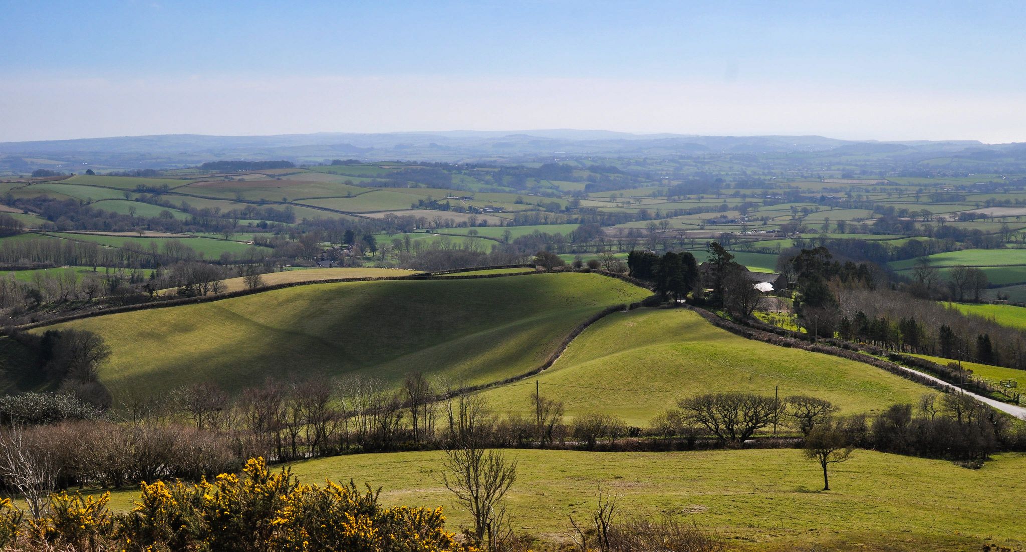
Hikes around Woodbury explore the countryside of East Devon, a region characterized by a mix of forests, meadows, and coastal areas. The landscape features gentle hills like Windmill Hill and Black Hill, which provide views across the surrounding terrain. Waterways such as the River Exe and River Clyst run through the area, and the nearby English Channel coast offers different hiking experiences.
Best hiking trails around Woodbury
- The most popular hiking route is the Woodbury Common loop from Four Firs — East Devon, a 7.6 mile (12.2 km) trail that takes around 3 hours 15 minutes to complete. This moderate route crosses the open heathland of Woodbury Common.
- Another top favourite among local hiking enthusiasts is Woodbury Castle & the Pebblebeds loop from Woodbury — East Devon, a moderate 5.4 mile (8.7 km) path. The trail passes an Iron Age hill fort and traverses the area's pebblebed heaths.
- Local hiking enthusiasts also love the East Devon Pebblebed Heaths – Little plank bridge loop from Yettington, a 3.8 mile (6.1 km) trail leading through the heaths, often completed in about 1 hour 40 minutes.
- Hiking around Woodbury is defined by pebblebed heaths, rolling countryside, and paths along river estuaries. The network of trails provides options for various fitness levels, from easy walks to more difficult, longer routes.
- The routes in Woodbury are highly rated by the komoot community with an average score of 4.7 stars from more than 240 reviews. More than 4,400 hikers have used komoot to explore Woodbury's varied terrain.
Last updated: June 30, 2026
4.8
(10)
25
hikers
12.2km
03:18
160m
160m
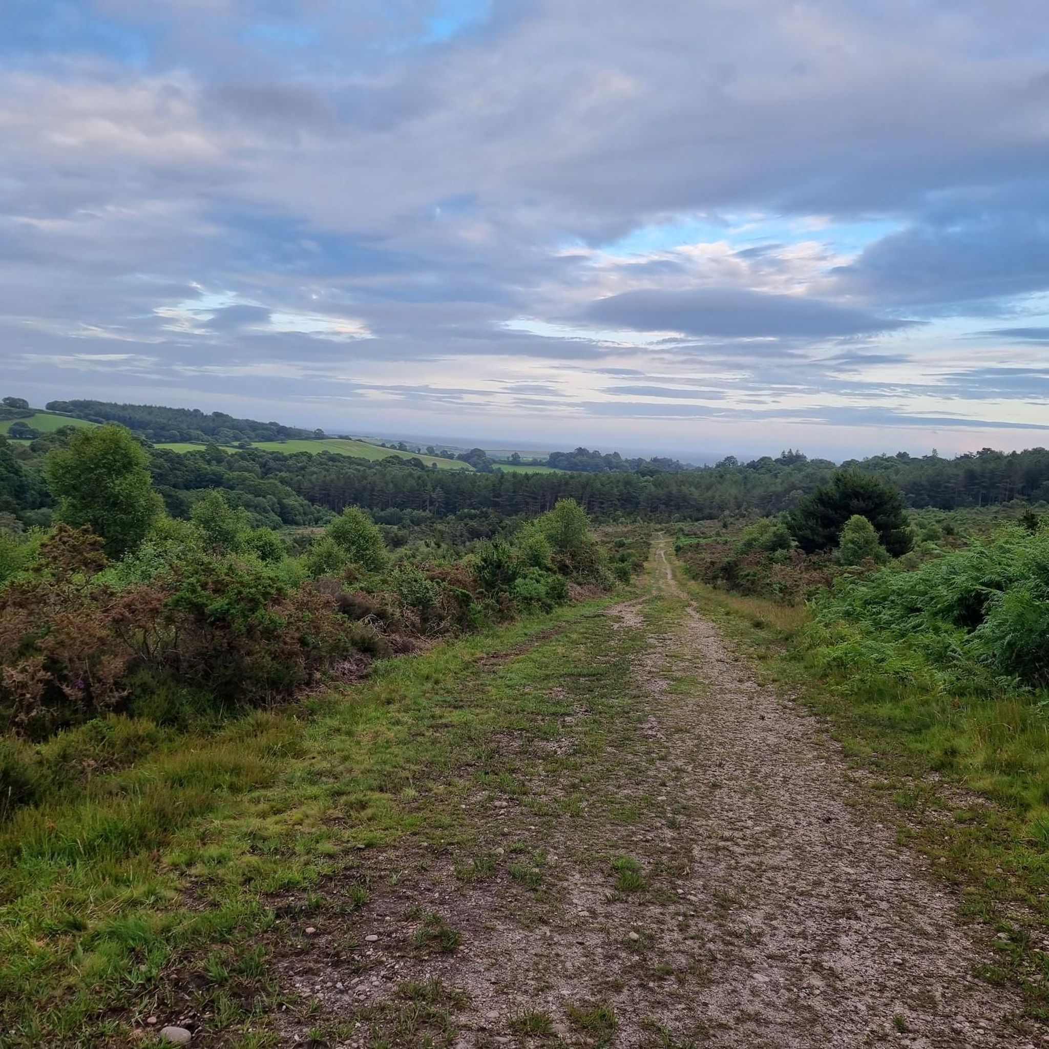
Embark on a moderate hike through the diverse landscapes of Woodbury Common, covering 7.6 miles (12.2 km) with 530 feet (161 metres) of elevation gain. This loop from Four Firs typically takes about 3 hours and 17 minutes to complete. You will traverse open heathland adorned with gorse and heather, dense forests, and rolling hills, enjoying panoramic views across the River Exe, the Exe Estuary, and towards the East Devon coastline. Explore the impressive earthworks of Woodbury Castle, an Iron Age hillfort cloaked in beech trees, offering a glimpse into ancient history.
Planning your visit is straightforward, with free parking available at Four Firs and other spots on the common. Be aware that navigation can be tricky due to the high density of trails, so carrying a map or using a GPS device is recommended. If you hike between March and July, be mindful of vulnerable ground-nesting birds. Pony grazing occurs in specific areas from May to October, adding to the natural charm of the area.
This trail lies within the East Devon National Landscape, formerly an Area of Outstanding Natural Beauty, highlighting its protected and picturesque status. The unique Pebblebed Heaths, formed by Triassic Bunter pebble beds, are a key feature, including wet heath areas with boardwalks. Keep an eye out for specialist wildlife like Dartford Warblers and Nightjars, and you might even spot Common Lizards basking in the sun. The area also holds archaeological significance with four Bronze Age bowl barrows near Four Firs.
4.0
(3)
23
hikers
8.74km
02:25
150m
150m
Embark on the Woodbury Castle & the Pebblebeds loop from Woodbury, a moderate hike spanning 5.4 miles (8.7 km) with an elevation gain of 485 feet (148 metres), typically taking 2 hours and 24 minutes to complete. This route offers a diverse experience, winding through ancient heathland tracks and pebbly sections, with some parts featuring uneven or steep terrain. You will encounter the impressive Iron Age hillfort of Woodbury Castle, where ancient beech trees provide shade and the historic ramparts present a unique challenge with their steep, uneven earthen banks. The scenery is a major highlight, especially the unique Pebblebed Heaths, which come alive with a purple haze of blooming heather in summer.
Before you set out, be aware that some sections of the trail can be very wet, so suitable footwear is recommended. While the overall difficulty is moderate, certain parts, particularly around Woodbury Castle, involve steps and loose gravel. The trail is accessible from Woodbury, and you should plan your visit to allow ample time to explore the varied landscapes. Always assess your fitness level, as good fitness and sure-footedness are beneficial for this route.
This trail is notable for its rich history and unique natural environment. Woodbury Castle, a Scheduled Monument, dates back 2,500 years and is one of Devon's largest archaeological monuments, offering a tangible connection to the Iron Age. The route also showcases the internationally important Pebblebed Heaths, a vast lowland heath that is part of a National Nature Reserve. From elevated positions, you can enjoy far-reaching panoramic views across the East Devon countryside, the Exe Estuary, and the coastline, extending to Lyme Bay and even Dartmoor on clear days.

Sign up for free
4.7
(3)
7
hikers
24.8km
06:58
470m
470m
Hard hike. Very good fitness required. Mostly accessible paths. Sure-footedness required.
4.5
(11)
78
hikers
Easy hike. Great for any fitness level. Easily-accessible paths. Suitable for all skill levels.
5.0
(3)
38
hikers
4.29km
01:12
90m
80m
Easy hike. Great for any fitness level. Easily-accessible paths. Suitable for all skill levels.
Get access to more routes and recommendations from other explorers.
Sign up for free
Already have an account?
Our route recommendations are based on thousands of hikes, rides, and runs completed by other people on komoot.
Start today with a free account
Your next adventure awaits.
Login or Signup




Tips from the Community


great flat path lots of birds to see, sheep cows and fish
3
0
The paths where really good not to muddy, a few puddles which you can walk around however on the road was a big stream and got a little dirty lucky my walking boots are waterproof no to many hills, and a very nice farm shop with a catering van, the bakery sells the best pasties. You won't be disappointed
3
0

From the car park on Budleigh Salterton, walk beside the river Otter and experience the wonder of the Wetlands, and marvel at the visiting and nesting birds😀
2
0

Quite the hike up this section after a lot of rainfall. A little tricky in places as the rain has loosened a lot of the earth, so take care going up and especially going down. Definitely the highlight of the walk, just because of the views you get at the trig point.
2
0
Ladram Bay is a secluded bay with a pebble beach. Among the most impressive sights along the Jurassic Coast are the sea stacks at Ladram Bay. The sandstones contain many vertical fractures and joints that were formed deep in the Earth's crust during past mountain building periods. The sea picked out these planes of weakness to form caves and natural arches that have since collapsed to produce sea stacks. The “Otter Sandstone” that forms the cliffs and sea stacks were deposited in a hot dry climates in the Triassic Period, about 220 million years ago. The stacks are composed of the same rock, which is relatively soft, but they have a harder band of sandstone at their base which prevents their rapid erosion by the sea. The striking red colour of the rock is caused by iron oxide, which indicate that the layers were formed in a desert. The presence of ripple marks and channels in the sandstones, together with the remains of the long-extinct plants, insects, fish, amphibians and reptiles, show that the desert was crossed by fertile river valleys.
1
0

From Sidmouth, it is a good consistent climb up to Peak Hill and it levels off for a bit before a little stairway up to High Peak Trig. Great views or tap and turn around.
1
0

Woodbury Castle is a large Iron Age hill fort. The earthwork ditches and wall mounds are clearly visible as you run around the now wooded area.
0
0
Frequently Asked Questions
Are there any dog-friendly trails in the Woodbury area?
Yes, the heathlands around Woodbury are generally great for walking with dogs. The open spaces on trails like the Woodbury Common loop from Four Firs offer plenty of room to explore. However, be mindful of local signage, especially during bird nesting season or when livestock is present, as you may be required to keep your dog on a lead.
What are the trails like around Woodbury?
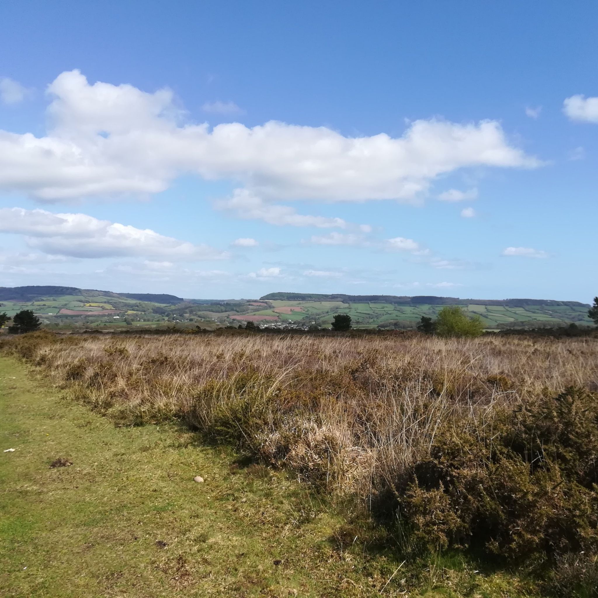
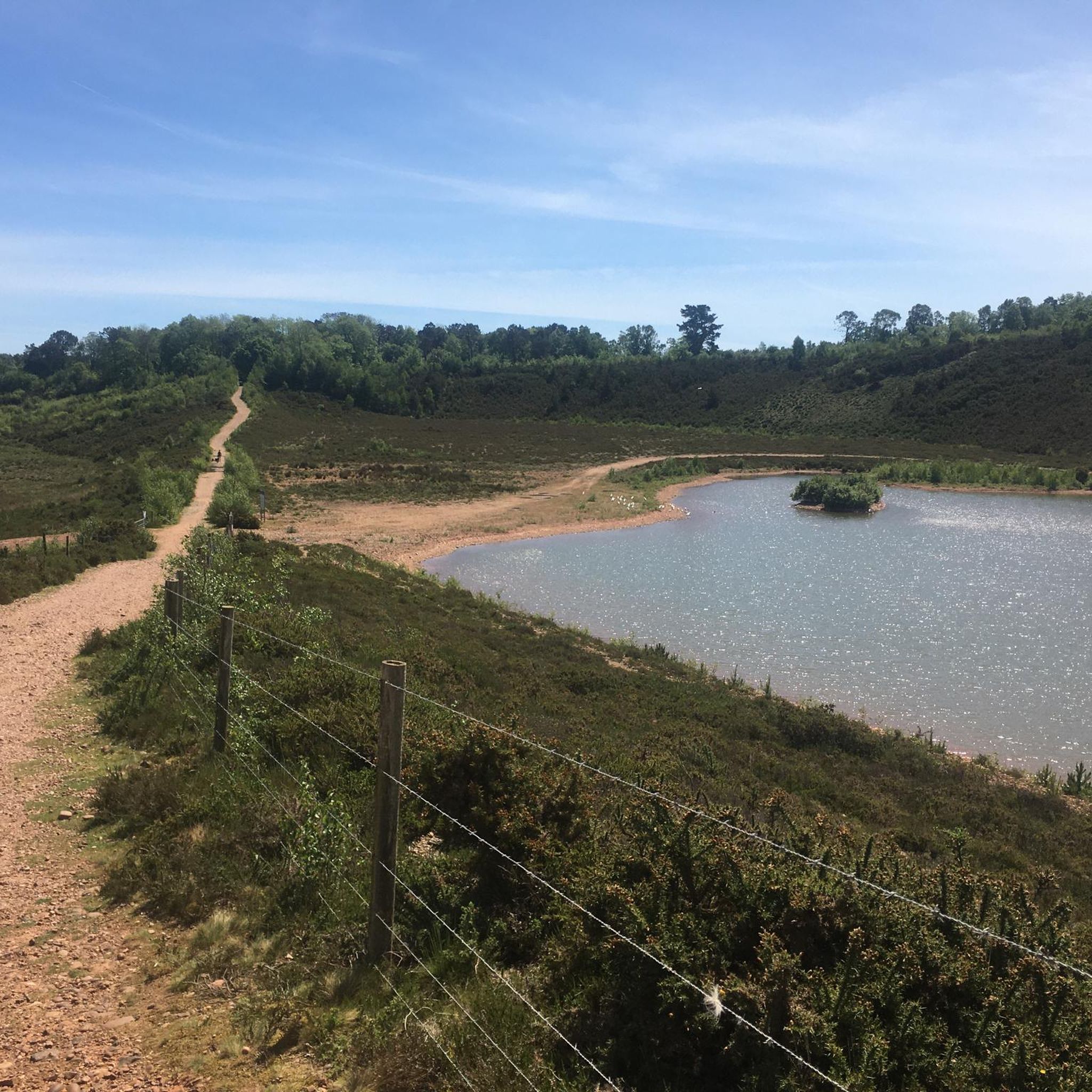
The hiking around Woodbury is defined by the unique East Devon Pebblebed Heaths. Expect a mix of open heathland with gorse and heather, patches of woodland, and gentle rolling hills. Many paths are unpaved and can be sandy or muddy depending on the season. The area offers a sense of open space with wide-ranging views.
Are there any easy, family-friendly walks near Woodbury?
Yes, there are several options suitable for families. The East Devon Pebblebed Heaths – Little plank bridge loop from Yettington is a good choice. At under 4 miles with minimal elevation gain, it's a manageable length for a family outing, offering a great introduction to the local heathland scenery.
Can I find any circular walks starting and ending in the same place?
Absolutely. Most of the popular routes in the area are designed as loops, making logistics simple. For example, the Woodbury Castle & the Pebblebeds loop from Woodbury starts and finishes near the village, allowing you to easily park and complete the circuit without needing to arrange transport.
How many hiking trails are there around Woodbury?
You'll find a wide variety of options, with over 100 hiking routes to explore in the region. These range from short, easy strolls to more challenging all-day treks, covering the diverse landscapes of the pebblebed heaths, river estuaries, and nearby coastline.
What do other hikers think of the trails in Woodbury?
The area is highly regarded by the komoot community, with an average rating of 4.7 out of 5 stars. Hikers often praise the beautiful and unique scenery of the pebblebed heaths, the well-maintained paths, and the peaceful atmosphere of the countryside.
Are there any long-distance hikes in the area?
Yes, for those seeking a more challenging day out, there are longer trails available. The East Budleigh & Ladram Bay loop from Woodbury Common is a great example, covering nearly 15.5 miles (25 km) and taking you through varied terrain towards the coast.
Can I see any historical sites while hiking?
Yes, you can. The region has a rich history. A key historical feature is Woodbury Castle, an Iron Age hill fort. You can walk right through this ancient site on several routes, which offers a glimpse into the area's distant past while you enjoy the views.
Are there any trails that go near rivers or water?
Certainly. For a change of scenery from the heaths, you can explore trails along the River Exe estuary. The Topsham Dock – RSPB Bowling Green Marsh loop from Exton is perfect for this, offering flat paths and excellent opportunities for birdwatching along the river.
What is the terrain like? Are the trails difficult?
The terrain is varied but generally manageable. Most trails are rated as easy or moderate, featuring gentle hills rather than steep mountains. The main challenges can be the trail surfaces, which can be uneven, sandy, or muddy, and the length of some of the longer loops. There are a few difficult routes for those seeking a tougher challenge.
Where is a good place to park for a hike on Woodbury Common?
There are several car parks providing access to the heaths. Four Firs car park is a popular starting point for many circular routes. Another common access point is the car park near Woodbury Castle. Arriving early is recommended, especially on sunny weekends, as they can fill up.
Most popular routes around Woodbury
Most popular attractions around Woodbury

Get inspired with the komoot mobile app


Explore more
Browse the best Hikes in other regions.
