The best walks and hikes around Sheviock
4.6
(613)
5,680
hikers
11
hikes
Hiking around Sheviock explores the landscape of the Rame Peninsula, an Area of Outstanding Natural Beauty in Cornwall. The region features a blend of rugged coastal cliffs, secluded beaches, and footpaths that traverse woodlands and farmland. Trails often incorporate sections of the South West Coast Path and follow the banks of the River Lynher estuary. This diverse terrain offers a variety of experiences for hikers.
Best hiking trails around Sheviock
- The most popular hiking route is Coastpath loop from Sheviok…
Last updated: July 1, 2026
4.5
(2)
10
hikers
12.0km
03:21
230m
230m
Moderate hike. Good fitness required. Easily-accessible paths. Suitable for all skill levels.
4.6
(18)
115
hikers
24.8km
07:20
710m
710m
Hard hike. Very good fitness required. Easily-accessible paths. Suitable for all skill levels.

Sign up for free
4.9
(11)
34
hikers
7.77km
02:07
120m
120m
Moderate hike. Good fitness required. Easily-accessible paths. Suitable for all skill levels.
4.0
(1)
8
hikers
11.9km
03:30
330m
330m
Moderate hike. Good fitness required. Easily-accessible paths. Suitable for all skill levels.
5.0
(7)
31
hikers
7.18km
01:58
110m
110m
Easy hike. Great for any fitness level. Easily-accessible paths. Suitable for all skill levels.
Get access to more routes and recommendations from other explorers.
Sign up for free
Already have an account?
Our route recommendations are based on thousands of hikes, rides, and runs completed by other people on komoot.
Start today with a free account
Your next adventure awaits.
Login or Signup


Tips from the Community

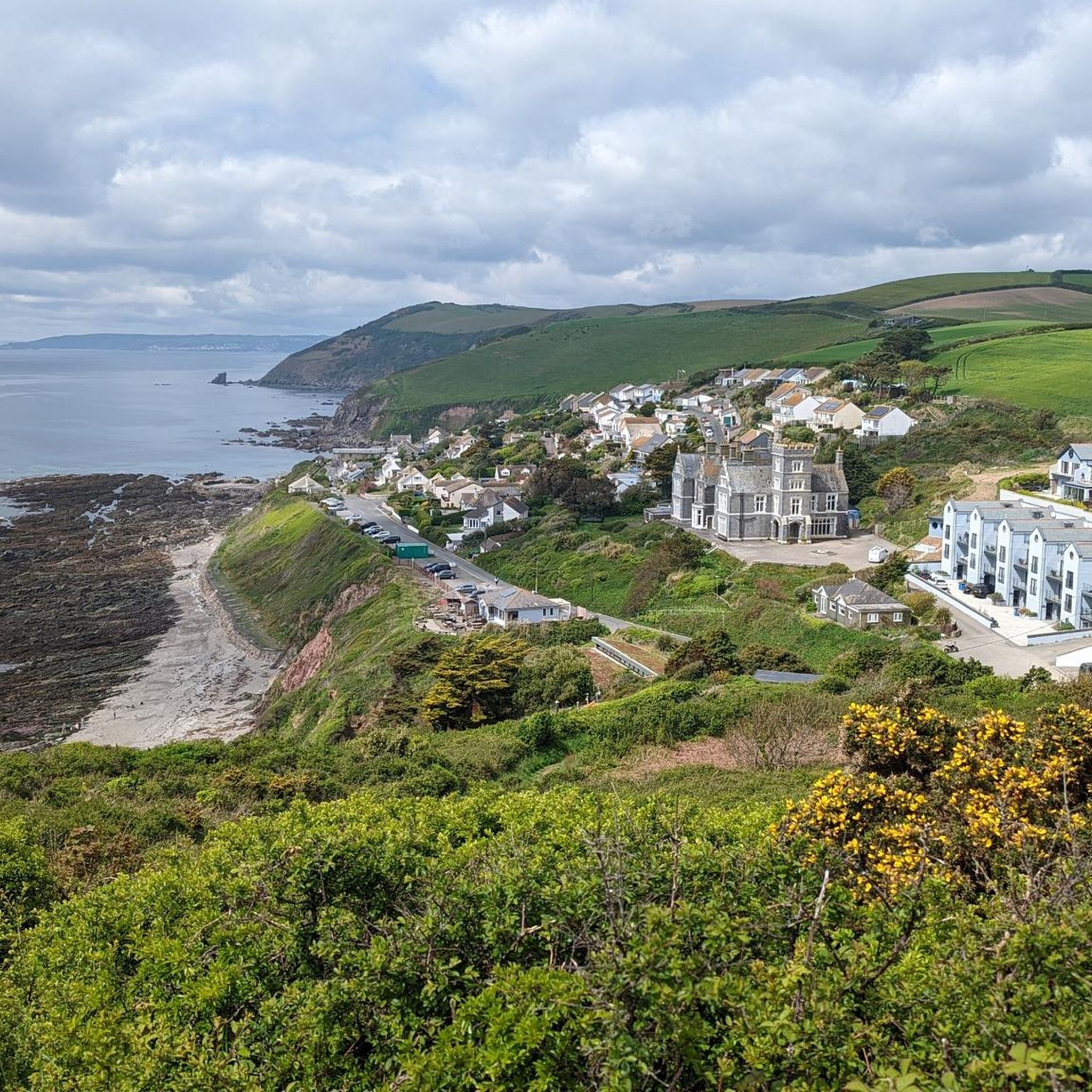
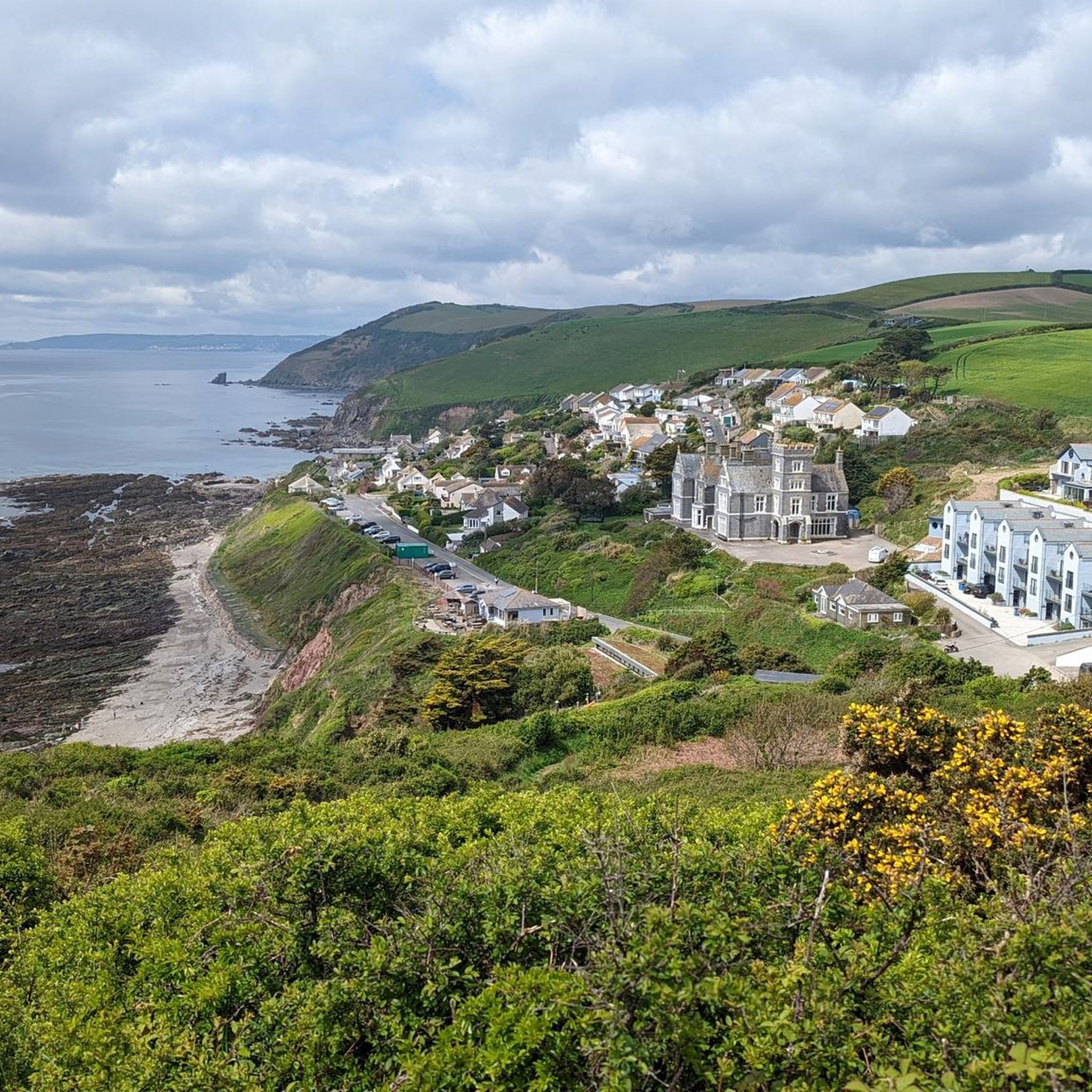
There are some beautiful houses along the coast.
0
0

Sunscreen, walking sticks. Some very steep spots
0
0

This is a small sand and shingle beach located a small hike from Looe. The bay is sheltered with a relaxed tide so its great for a sunny summer day with family.
2
0
Bodigga Cliff is owned and managed by the National Trust. It's an area of coastal heathland above Millendreath beach.
0
0

Great spot on the South West Coast Path as it runs over the headland for taking in the views over Looe Bay.
0
0

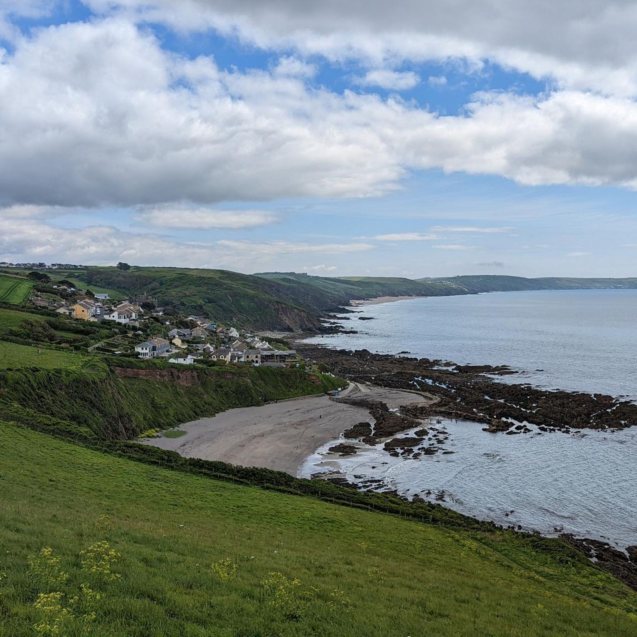
On the Coast Path, view of the beautiful, secluded bay
1
0

The Tregantle ranges are used for military training and live firing exercises. It is important to be aware of the firing times and safety precautions when visiting the area. The firing times for Tregantle ranges are subject to change, so it is recommended to check for up-to-date information. The red flags during the day and red lamps at night indicate that the range is active and live firing is taking place. It is crucial not to enter the danger area when the range is in use, as this poses a danger to life. If you see red flags or lights hoisted, regardless of the timings, do not enter the training area. To ensure your safety, it is advised not to touch any military debris as it may be dangerous. For more information: https://www.gov.uk/government/publications/tregantle-firing-notice/tregantle-firing-times-18-september-to-1-october-2023
1
0
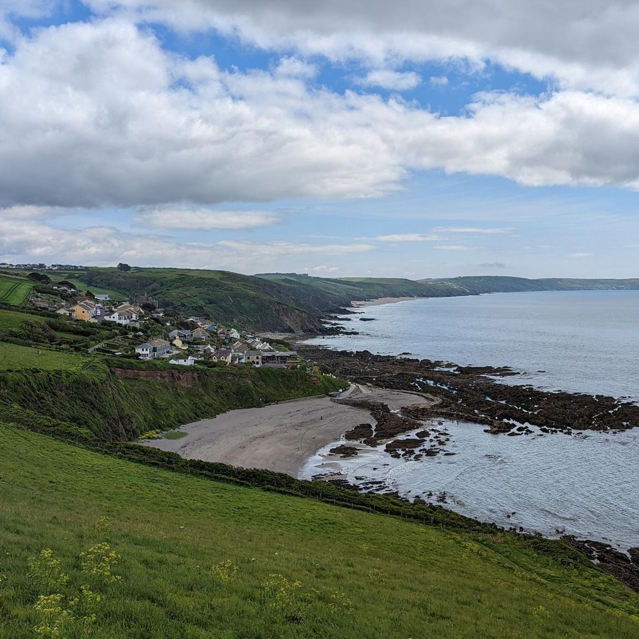
A tucked away, sandy beach on Cornwall's south coast. The cottages higher on the cliff are a legacy of the area's history in the Pilchard fishing industry. There are a few different bays along this stretch of coast, so you'll be sure to find a spot for yourself.
0
0
Frequently Asked Questions
Are there many circular walks available around Sheviock?
Yes, circular walks are very common in this area. Many trails are designed as loops, combining sections of the South West Coast Path with inland footpaths through woodland and farmland. This allows you to start and end in the same place, such as the popular harbour village of Portwrinkle, without retracing your steps.
Can I bring my dog on the hiking trails?
The Sheviock area is generally dog-friendly, with many footpaths crossing open countryside and coastal areas where dogs are welcome. Wacker Quay is a particularly popular spot for dog walkers, offering trails along the estuary. Always be mindful of livestock in fields and check for any specific restrictions, especially on beaches during peak season.
Are there any easy, family-friendly walks?
Absolutely. While the coastline can be rugged, there are plenty of gentler options. The area around the Lynher Estuary offers flatter, more serene paths perfect for a family outing. For a shorter coastal experience, the View of Portwrinkle – Tregantle Fort loop from Crafthole is an easy 4.4-mile (7.2 km) walk with rewarding views that isn't too strenuous.
What kind of scenery can I expect on the coastal paths?
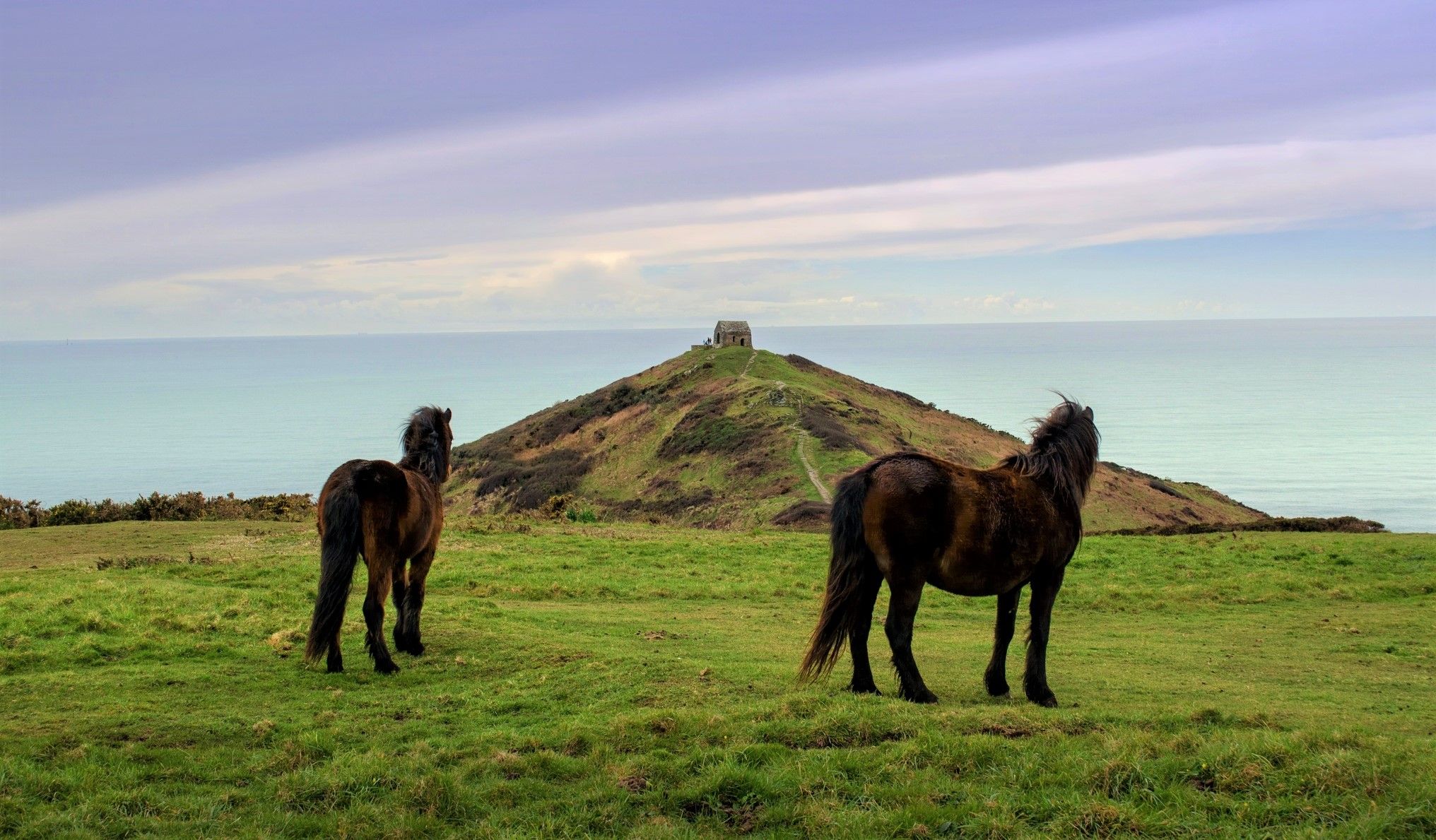
The coastal paths around Sheviock offer dramatic and varied scenery. You'll encounter rugged cliffs, hidden coves, and expansive views across Whitsand Bay. A key feature is Rame Head, a prominent headland with a historic chapel. The landscape is part of a designated Area of Outstanding Natural Beauty, ensuring stunning vistas throughout your hike.
Where is a good place to park for a walk?
Parking is available at several points depending on your chosen route. The village of Portwrinkle has parking and serves as an excellent starting point for many coastal loops. For estuary walks, Wacker Quay offers a car park and is a well-regarded starting point for trails heading towards the village of Antony.
Are there any pubs or cafes directly on the walking routes?
Many trails pass through or near charming villages like Crafthole, Portwrinkle, Kingsand, and Cawsand, which have traditional pubs and cafes. Planning your route to include one of these villages is a great way to break up your hike with a meal or a refreshing drink.
What is the terrain like for hiking in Sheviock?
The terrain is quite diverse. Expect some challenging, steep sections and uneven ground along the South West Coast Path. Inland, you'll find gentler, well-trodden footpaths through woodlands and across rolling farmland. The estuary paths are typically flatter and easier underfoot. It's always wise to wear sturdy hiking shoes.
Are there any woodland walks in the area?
Yes, the Rame Peninsula is rich in woodland. Several local footpaths meander through ancient woods, especially in the valleys leading down to the coast or the Lynher estuary. In spring, these paths are particularly beautiful, with carpets of wildflowers like primroses and wild garlic.
What do other hikers think of the trails around Sheviock?
The trails are highly rated by the komoot community, with over 5,000 hikers having explored the area. Reviewers frequently praise the stunning coastal views, the mix of different landscapes, and the tranquility of this 'Forgotten Corner' of Cornwall.
Are there any military sites or restrictions to be aware of?
Yes, some routes pass near the Tregantle Fort and its firing range. The Tregantle Firing Range – Tregantle Fort loop from Crafthole is a good example. It's essential to pay attention to any posted signs and red flags, which indicate when the range is active and access is restricted.
What opportunities are there for birdwatching?
The Lynher Estuary is a fantastic location for birdwatching, especially at high tide when wading birds are more visible. The coastal headlands, like Rame Head, are also excellent spots to see seabirds and even birds of prey such as peregrines.
How can I get to the trailheads using public transport?
Buses connect the main towns and villages on the Rame Peninsula, such as Torpoint, Millbrook, Kingsand, and Cawsand. From these villages, you can easily access the South West Coast Path and other local footpaths. This makes it possible to plan linear walks without needing a car.
Most popular attractions around Sheviock

Get inspired with the komoot mobile app


Explore more
Browse the best Hikes in other regions.
