The best road cycling routes around Altarnun
4.2
(44)
1,062
riders
122
rides
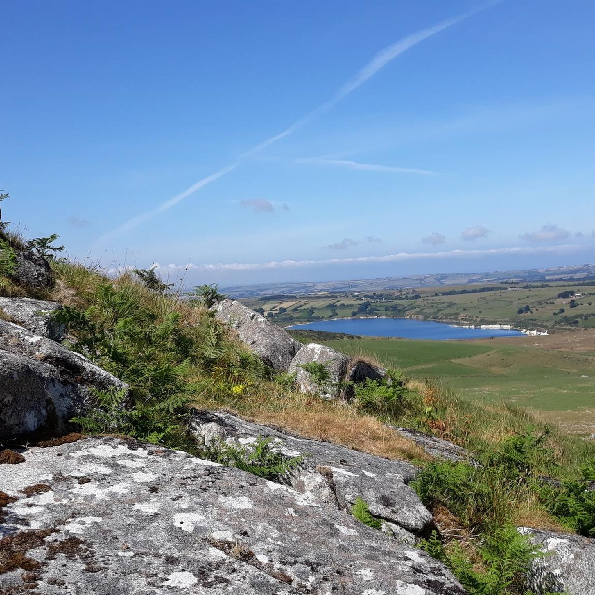
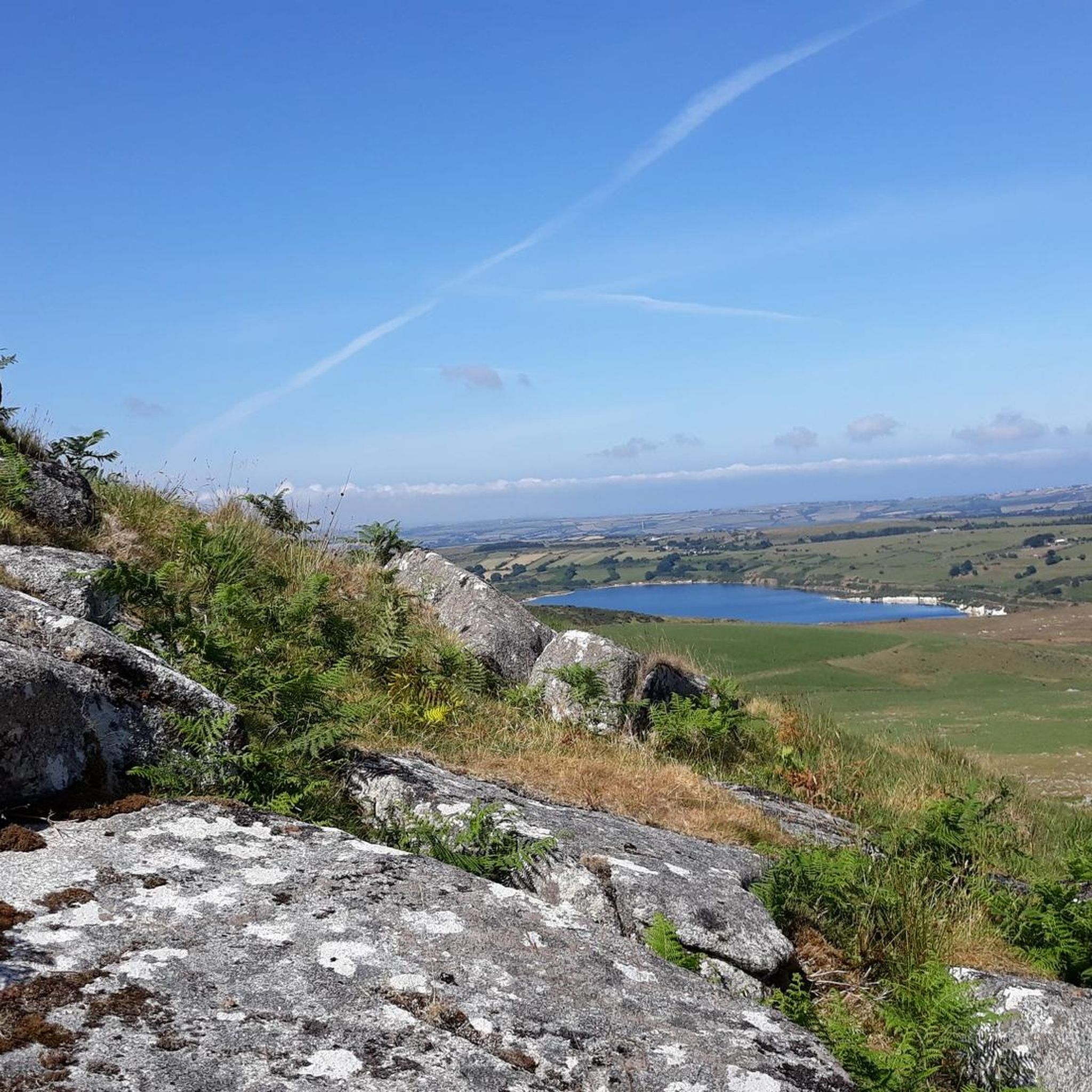
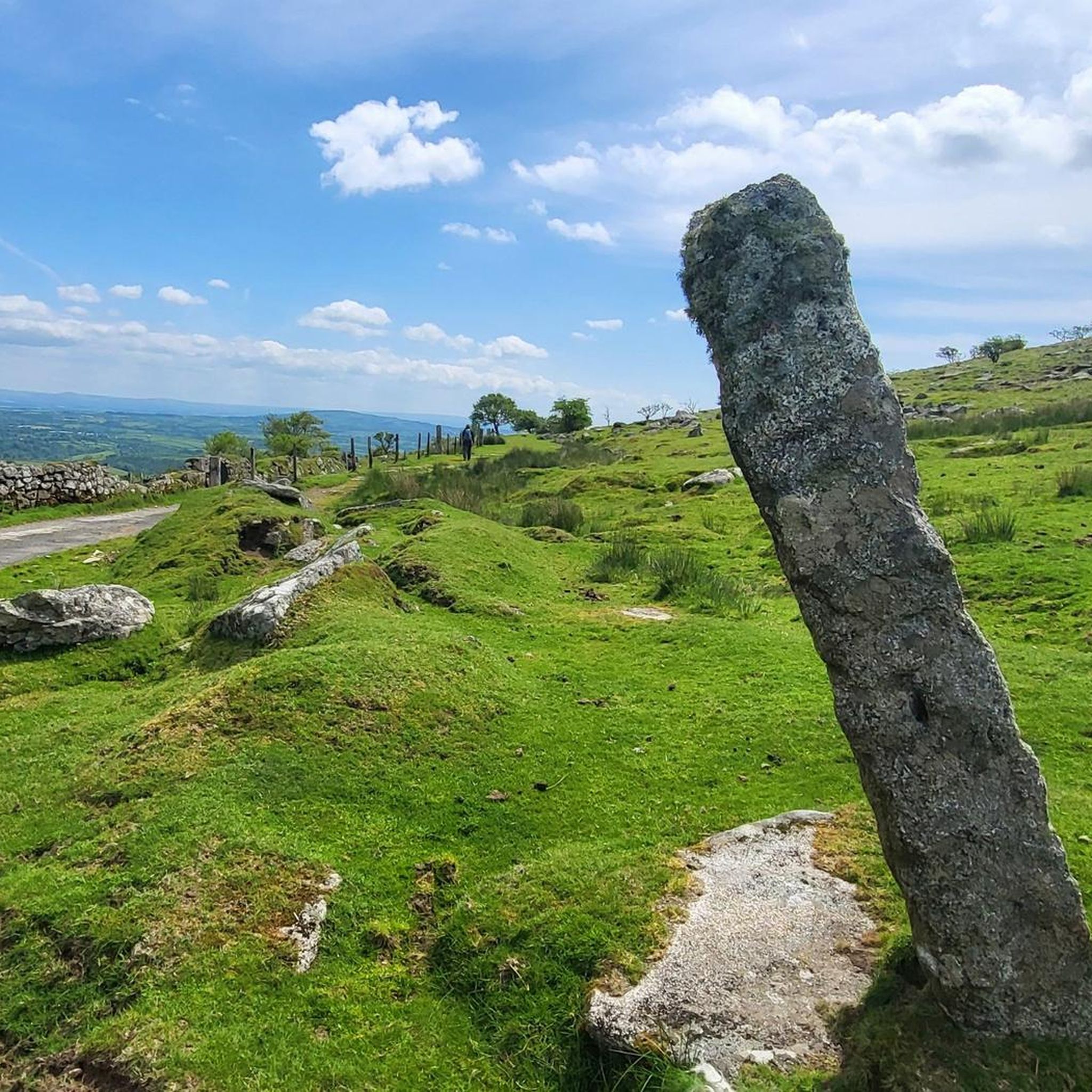
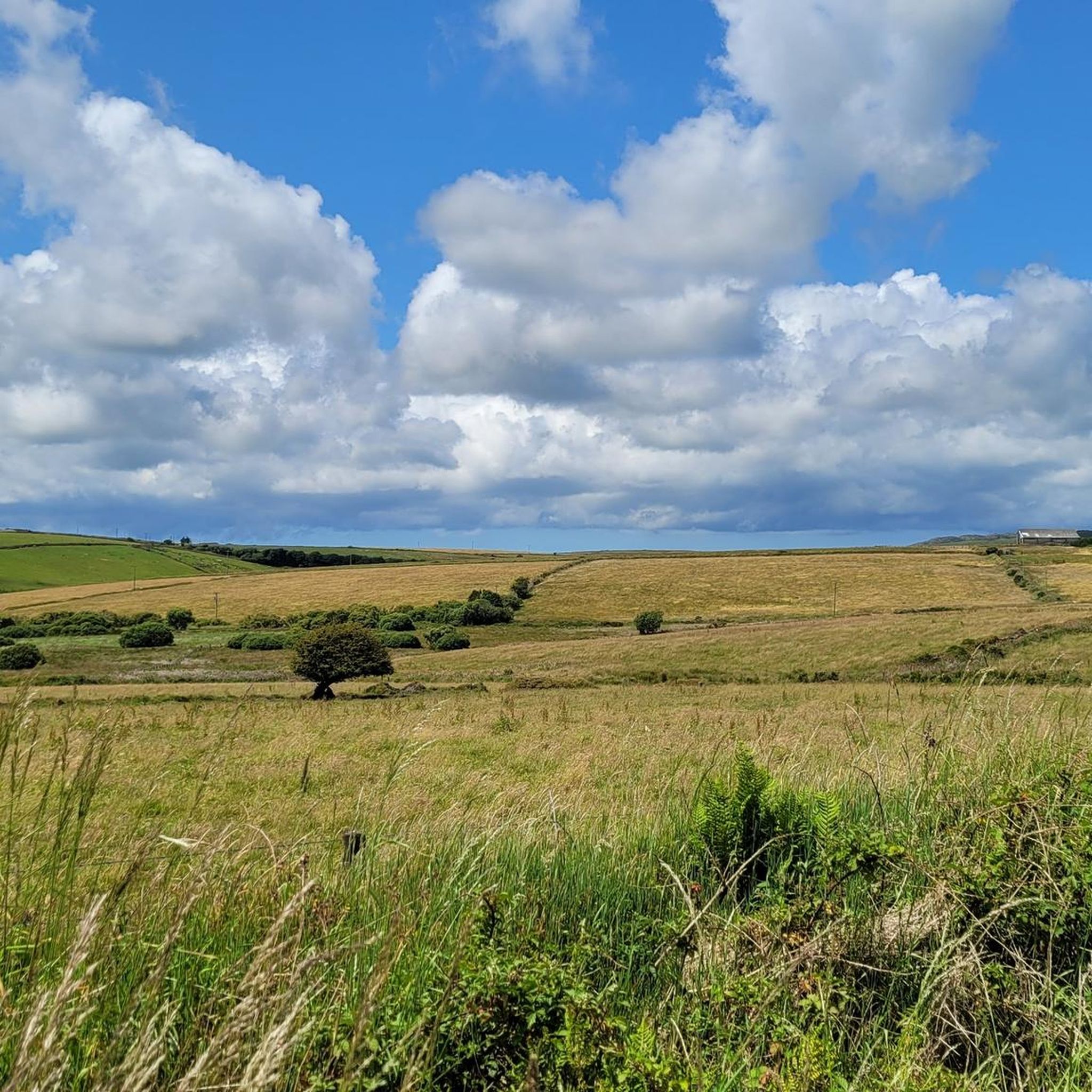
Road cycling around Altarnun offers routes through the rugged and scenic terrain of Bodmin Moor, characterized by undulating roads and open spaces. The area features quiet country lanes, sheltered valley bottoms, and wooded sections, providing varied scenery for cyclists. Several bodies of water, including Siblyback Lake, Colliford Lake, and Crowdy Reservoir, are accessible, enhancing the cycling experience with picturesque views. This region provides a diverse backdrop for road cycling, catering to various fitness levels.
Best road cycling routes around Altarnun
…Last updated: July 10, 2026
15
riders
36.0km
01:43
380m
380m
Moderate road ride. Good fitness required. Mostly well-paved surfaces and easy to ride.
4.4
(10)
12
riders
68.9km
03:28
740m
740m
Moderate road ride. Good fitness required. Some segments of this route may be unpaved and difficult to ride.

Sign up for free
6
riders
42.6km
02:12
480m
480m
Moderate road ride. Good fitness required. Mostly well-paved surfaces and easy to ride.
3.0
(1)
4
riders
36.3km
01:57
470m
480m
Moderate road ride. Good fitness required. Mostly well-paved surfaces and easy to ride.
4
riders
48.9km
02:26
740m
740m
Moderate road ride. Good fitness required. Mostly well-paved surfaces and easy to ride.
Get access to more routes and recommendations from other explorers.
Sign up for free
Already have an account?
Our route recommendations are based on thousands of hikes, rides, and runs completed by other people on komoot.
Start today with a free account
Your next adventure awaits.
Login or Signup

Other adventures around Altarnun

Tips from the Community

Beautiful little beach. You can ride your bike right onto the beach.
0
0

The manor of Crackington was recorded in the Domesday Book (1086) when it was one of several manors held by Berner from Robert, Count of Mortain. There was half a hide of land and land for 3 ploughs. There were 1 plough, 2 serfs, 6 smallholders, 4 acres of underwood, 20 acres of pasture, 4 cattle, 3 pigs and 25 sheep. The value of the manor was 10 shillings though it had formerly been worth £1 sterling. Until the nineteenth century, Crackington Haven was a small port similar to many others on the north coast of Cornwall. Limestone and coal were imported and slate and other local produce were exported. After the railways reached the district in 1893 the village could be reached more easily (from the North Cornwall Railway station at Otterham) so holidaymaking became more common.
0
0


Three routes into or out - all with steep sections. The coastal route takes you to high cliff at about 850 feet above sea level and up to 1 in 3 gradient. Enjoy.
0
0

Witherdon Wood is managed by Forestry England. It's a mixed woodland with some large tracks running through it.
0
0
Roadford Lake is a reservoir fed by the river Wolf. It's the largest area of water in the south-west and is used to supply drinking water for north and South Devon. As a runner there isn't a trail that allows you to circumnavigate the lake, but you can run along the northeastern shore.
0
0

Crackington beach is a small cove flanked by high cliffs which make for a lovely view from the road. Although only small, here you will find a cafe, hotel and public toilets plus sections of both shingle and sandy beaches.
0
0
Roadford lake was once farmland before being flooded to create a reservoir in 1989. The water in the lake supplies North Devon and anything over capacity runs into the River Tamar. The concrete structure that can be seen from the dam is the valve tower. On open days, usually twice a year, it is possible to walk in the tunnels underneath the water and up the tower, which provides spectacular views.
0
0
Frequently Asked Questions
How many road cycling routes are available around Altarnun?
There are over 130 road cycling routes available around Altarnun, catering to various fitness levels. This includes 13 easy routes, 84 moderate routes, and 33 difficult routes, offering a wide range of options for exploration.
What kind of terrain can I expect when road cycling near Altarnun?
Road cycling around Altarnun offers a diverse landscape. You'll encounter undulating roads through the rugged and scenic terrain of Bodmin Moor, quiet country lanes, sheltered valley bottoms, and wooded sections. The area is characterized by its wild beauty and open spaces, with some routes featuring significant elevation changes.
Are there any easy or family-friendly road cycling routes in the Altarnun area?
Yes, there are easy routes suitable for beginners or families. For instance, the Siblyback Lake Trail offers an easy, mostly paved loop with minimal elevation gain. While the full North Cornwall Trail and The Camel Trail can be challenging, sections of these routes, particularly the upper reaches of The Camel Trail accessed from Bodmin, offer quieter, flatter options suitable for a more relaxed ride.
What are some notable natural features or landmarks I can see while cycling around Altarnun?
The Altarnun area is rich in natural beauty and historical landmarks. You can cycle past picturesque bodies of water like Siblyback Lake, Colliford Lake, and Crowdy Reservoir. On Bodmin Moor, you might spot prominent tors such as Brown Willy Summit and Rough Tor. The historic Church of St Nonna in Altarnun, known as 'The Cathedral of the Moor,' also makes for a pleasant stop.
Are there any circular road cycling routes starting from Altarnun?
Yes, many of the road cycling routes around Altarnun are designed as loops. Examples include the Kit Hill loop from Lewannick, the Upper Tamar Lake Café loop from Lewannick, and the Roadbike loop from Laneast. These routes allow you to start and finish in the same general area, providing convenient circular journeys.
Where can I find parking when planning a road cycling trip to Altarnun?
While specific parking areas for cyclists are not detailed, Altarnun is a small village. Visitors often find parking near the village center or designated car parks for local attractions. For routes starting further afield, such as those accessing The Camel Trail, specific parking facilities are usually available at trailheads in towns like Bodmin.
Is public transport an option for reaching road cycling routes near Altarnun?
Altarnun is a rural village, and public transport options may be limited. While local bus services connect some villages in Cornwall, direct access to specific cycling route starting points might require planning. It's advisable to check local bus schedules if you plan to rely on public transport to reach your desired cycling area.
What do other road cyclists say about their experience in Altarnun?
The road cycling routes around Altarnun are highly rated by the komoot community, with an average score of 4.2 stars from over 40 reviews. Cyclists often praise the wild beauty of Bodmin Moor, the quiet country lanes, and the picturesque lakeside routes. The diverse terrain offers options for various ability levels, making it a popular destination for road cyclists.
Can I bring my dog on road cycling routes around Altarnun?
While dogs are generally welcome in the countryside, specific rules apply to Bodmin Moor, which many cycling routes traverse. Dog owners are asked to keep their dogs on leads on Bodmin Moor to protect livestock and wildlife. Always ensure your dog is well-behaved and consider the safety of both your pet and other road users.
Are there places to stop for refreshments or food along the cycling routes?
Yes, Altarnun village itself is home to The Rising Sun Inn, which can serve as a convenient stop for food and drink. Additionally, routes like the Upper Tamar Lake Café loop from Lewannick suggest a café stop. Depending on your chosen route, you may find other pubs or cafes in nearby villages or at attractions like Siblyback Lake.
What is the best time of year to go road cycling in Altarnun?
The spring and summer months (April to September) generally offer the most favorable weather for road cycling in Altarnun, with milder temperatures and longer daylight hours. However, the rugged nature of Bodmin Moor means weather can be unpredictable, so it's always wise to check the forecast and be prepared for changing conditions, even in summer.
How long do road cycling routes around Altarnun typically take to complete?
The duration of road cycling routes around Altarnun varies significantly based on distance, elevation, and your fitness level. For example, the Kit Hill loop from Lewannick, at 36 km, typically takes around 1 hour 43 minutes, while the longer Upper Tamar Lake Café loop from Lewannick, at 68.6 km, can take over 3 hours.
Most popular attractions around Altarnun

Get inspired with the komoot mobile app


Explore more
Browse the best Road cycling routes in other regions.
