Rudford And Highleadon
Rudford And Highleadon
The best running trails around Rudford And Highleadon
4.6
(34)
5,824
runners
397
runs
Jogging routes around Rudford And Highleadon traverse a rural landscape characterized by gentle hills, open fields, and river valleys. The area offers a mix of quiet country lanes and paths through agricultural land, providing varied running surfaces. Elevations are generally modest, making many routes accessible for different fitness levels. The region's geography often includes views of the wider Gloucestershire countryside.
Best jogging routes around Rudford And Highleadon
- The most popular jogging route is History of Hartpury – Short, Steep Rural…
Last updated: July 6, 2026
17
runners
8.59km
00:54
80m
80m
Moderate run. Good fitness required. Mostly paved surfaces. Suitable for all skill levels.
5.0
(1)
13
runners
4.95km
00:31
30m
30m
Easy run. Great for any fitness level. Mostly paved surfaces. Suitable for all skill levels.

Sign up for free
9
runners
5.72km
00:36
40m
40m
Moderate run. Good fitness required. Mostly paved surfaces. Suitable for all skill levels.
5.0
(1)
5
runners
11.7km
01:18
110m
110m
Moderate run. Good fitness required. Mostly paved surfaces. Suitable for all skill levels.
6
runners
5.33km
00:34
40m
40m
Moderate run. Good fitness required. Mostly paved surfaces. Suitable for all skill levels.
Get access to more routes and recommendations from other explorers.
Sign up for free
Already have an account?
Our route recommendations are based on thousands of hikes, rides, and runs completed by other people on komoot.
Start today with a free account
Your next adventure awaits.
Login or Signup

Tips from the Community

The road right in front of the tower looks private but isn't, don't take the mick though look out for farm equipment
0
0

Amazing little bit of single track with some up and down. Bluebell woods and field verges, one pretty skinny bit in the middle before a lumpy field crossing. Starts with a right in the first field after the gate, and then aim for the gate nearest the stream. This reduces the amount of the horrible Newent road you have to ride if coming from Bulley lane over to Gloucester, to about 200m. Doable on 35s in the dry. Could be tough in the wet.
0
0


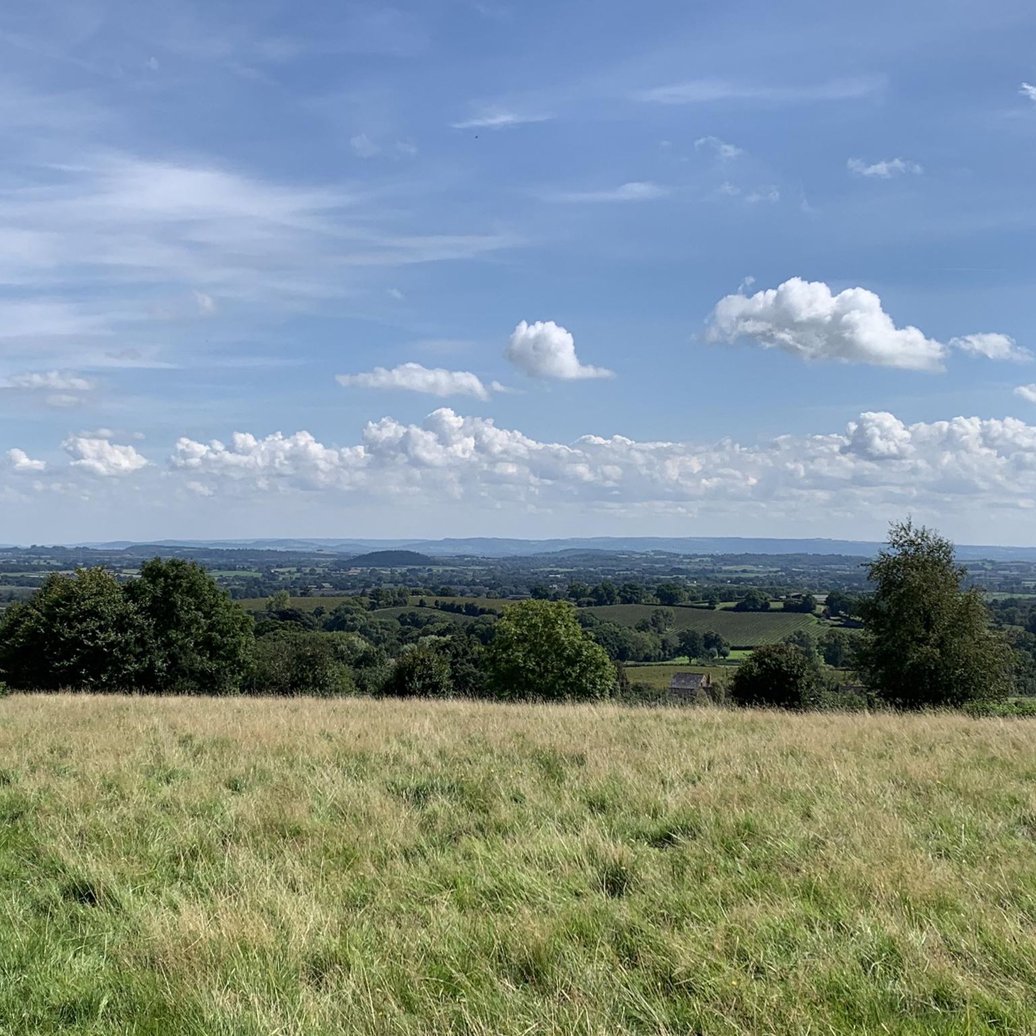
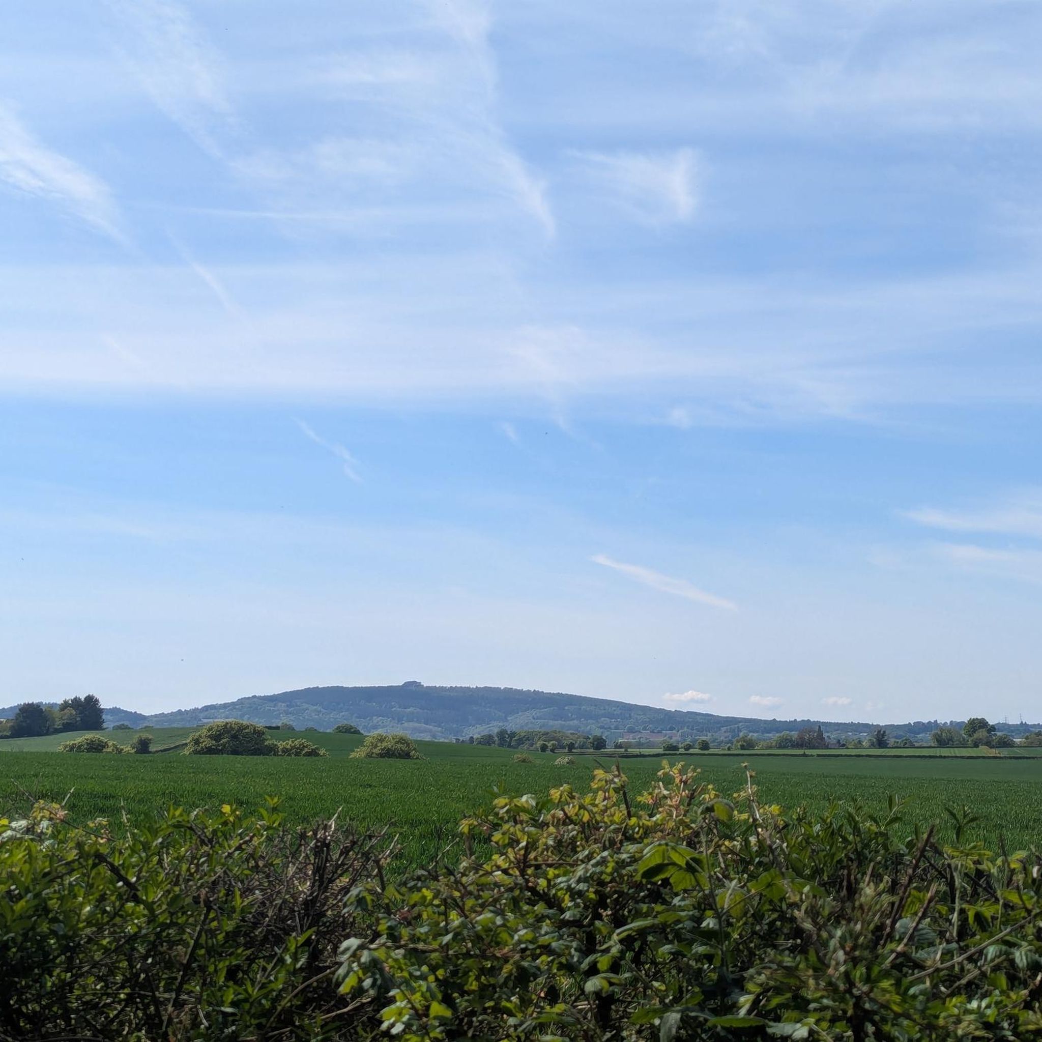
Cheeky indeed. It seemed almost out of keeping with the surroundings. An impertinent little hill.
0
0

A beautiful church which is somewhat hidden in the trees and is next to a tithe barn. The road on which it is located is also a very quiet and picturesque road to take.
0
0

Once a part of the Guise family estate, Lassington Wood is today a 17-acre (7 ha) nature reserve managed by Tewkesbury Borough Council and Highnam Parish Council. Although smaller in extent than nearby Highnam Woods, Lassington Wood is just as delightful to explore. In spring, it is particularly noted for its carpets of bluebells, a spectacular sight.
0
0

Go round the back of the church to see the unusual Grade 2 listed stone bee shelter in the churchyard.
0
0

Tithe Barn is opposite Hartpury Church. Its origin is 15th Century.
0
0
Frequently Asked Questions
How many running routes are available in Rudford And Highleadon?
There are over 380 running routes around Rudford And Highleadon, offering a wide variety of options for different fitness levels and preferences.
Are there easy running routes suitable for beginners in Rudford And Highleadon?
Yes, Rudford And Highleadon offers over 50 easy running routes. These paths typically feature modest elevations and quiet country lanes, making them ideal for beginners or those seeking a relaxed jog. An example is the Running loop from Hartpury, which is an easy 3.1-mile (5 km) path.
What kind of terrain can I expect on jogging routes in Rudford And Highleadon?
The jogging routes in Rudford And Highleadon traverse a rural landscape characterized by gentle hills, open fields, and river valleys. You'll find a mix of quiet country lanes and paths through agricultural land, providing varied running surfaces. Elevations are generally modest.
Are there any long-distance running trails in the area?
While many routes are moderate in length, you can combine several paths to create longer runs. The region's network of country lanes and agricultural paths allows for extended exploration. The longest single route listed is the History of Hartpury – Short, Steep Rural Climb loop from Hartpury, at 5.4 miles (8.7 km).
What interesting landmarks or viewpoints can I see along the running routes?
Many routes offer views of the wider Gloucestershire countryside. Specifically, the View of Gloucester Cathedral loop from Maisemore provides distant glimpses of Gloucester Cathedral (Gloucester Cathedral). Other notable nearby attractions include May Hill Summit and Gloucester Docks.
Are there any circular jogging routes in Rudford And Highleadon?
Yes, many of the running routes in Rudford And Highleadon are designed as loops, offering convenient circular paths. Examples include the popular History of Hartpury – Short, Steep Rural Climb loop from Hartpury and the Running loop from Staunton.
What do other runners enjoy most about jogging in Rudford And Highleadon?
The area is highly rated by the komoot community, with an average score of 4.77 stars from over 28 reviews. Runners often praise the quiet country lanes, open fields, and the varied terrain that offers options for different ability levels.
Are the running trails in Rudford And Highleadon suitable for families?
Many of the routes with modest elevations and quiet country lanes are suitable for families, especially those looking for an easy jog or walk. The generally gentle nature of the landscape makes it accessible for various ages and fitness levels.
Can I bring my dog on the jogging routes?
Given the rural nature of Rudford And Highleadon, many paths through open fields and country lanes are generally dog-friendly. However, always ensure your dog is under control, especially when passing through agricultural land or near livestock, and check for any specific local signage regarding dog access.
Are there advanced running trails for experienced runners?
While the region is known for its gentle hills, there are 59 difficult routes available for those seeking a greater challenge. These routes might feature steeper climbs or more varied terrain. The History of Hartpury – Short, Steep Rural Climb loop from Hartpury, for instance, includes a 'short, steep rural climb'.
What is the best time of year for jogging in Rudford And Highleadon?
The region's gentle landscape is enjoyable throughout much of the year. Spring and autumn offer pleasant temperatures and beautiful scenery. Summer can be warm but is generally fine, while winter runs are possible, though paths might be muddy after rain.
Are there jogging routes accessible by public transport?
Rudford And Highleadon is a rural area, so public transport options might be limited compared to urban centers. It's advisable to check local bus schedules to nearby villages like Hartpury or Maisemore, which serve as starting points for several routes, such as the View of Gloucester Cathedral loop from Maisemore.
Most popular attractions around Rudford And Highleadon

Get inspired with the komoot mobile app


Explore more
Browse the best Running Trails & Routes in other regions.
