The best walks and hikes around Charfield
4.5
(991)
6,867
hikers
496
hikes
Hikes around Charfield explore the rural landscape of South Gloucestershire, characterized by gentle hills and green spaces. The terrain consists of rolling fields, woodlands, and paths that follow waterways like the Little Avon River. While the immediate area offers mostly gentle walks, the more elevated terrain of the Cotswold Edge is also accessible from nearby trailheads.
Best hiking trails around Charfield
- The most popular hiking route is Tortworth Chestnut – Damery Old Castle loop from Tortworth, a 4.7 mile (7.6 km) trail that takes around 2 hours to complete. This moderate route passes the ancient Tortworth Chestnut and the ruins of Damery Old Castle.
- Another top favourite among local hiking enthusiasts is William Tyndale Monument – Jubilee Clump Viewpoint loop from Kingswood, a moderate 7.6 mile (12.2 km) path. The route features ascents to viewpoints with expansive views across the surrounding countryside.
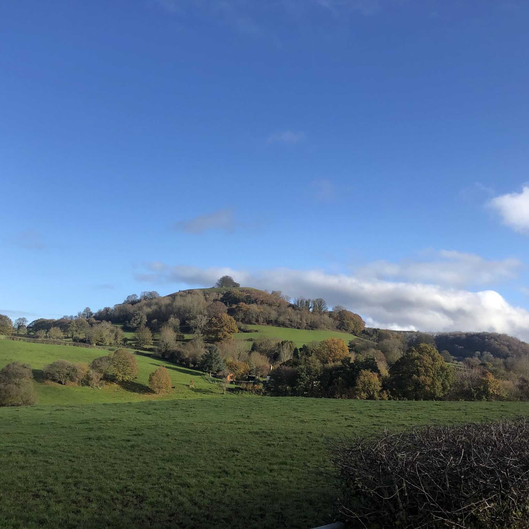
- Local hiking enthusiasts also love the View from Cam Peak – William Tyndale Monument loop from Wotton-under-Edge, a 13.6 mile (21.9 km) trail leading through the Cotswolds, often completed in about 6 hours 30 minutes.
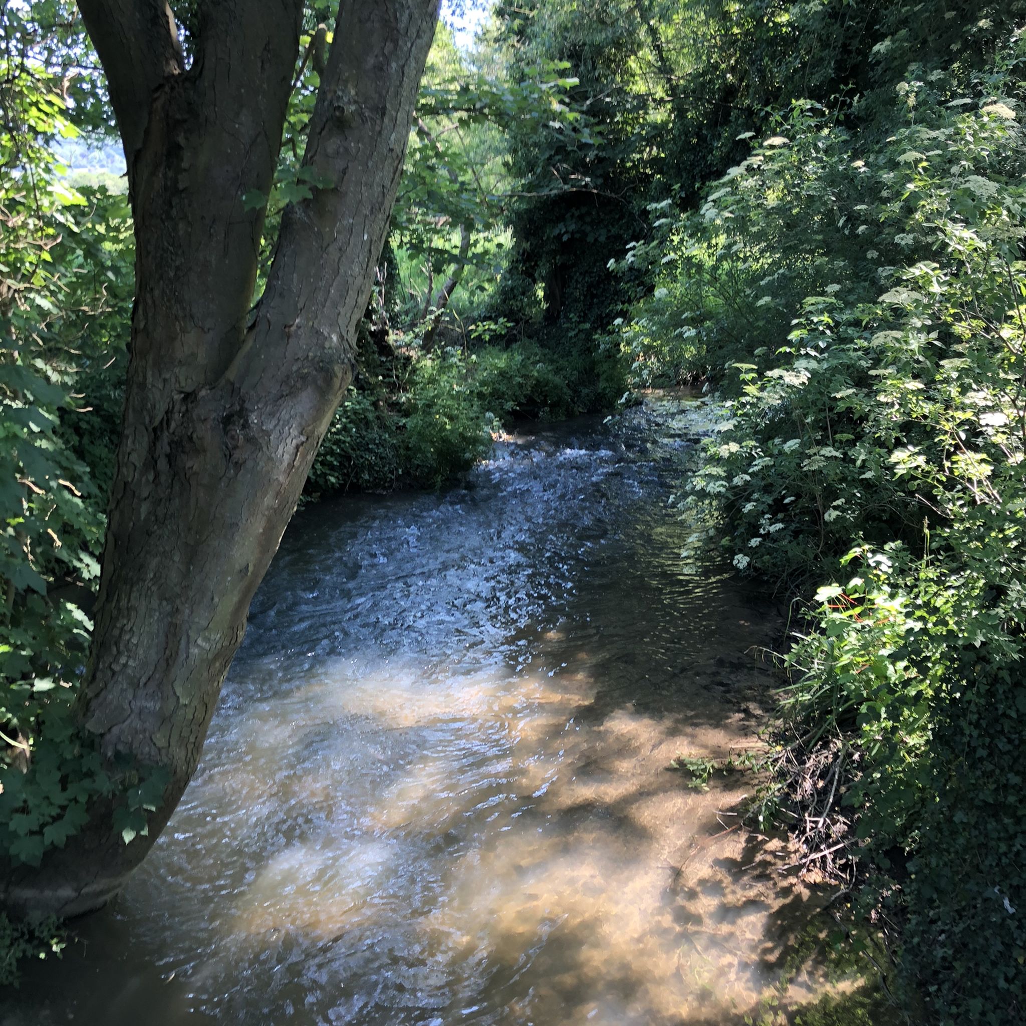
- Hiking around Charfield is defined by riverside paths, rolling fields, and woodland trails. The network of routes provides options for both easy strolls and more challenging hikes on the nearby Cotswold escarpment.
- The routes in Charfield are highly rated by the komoot community with an average score of 4.5 stars from over 780 reviews. More than 6,000 hikers have used komoot to explore Charfield's varied terrain.
Last updated: October 9, 2026
4.6
(7)
24
hikers
7.44km
01:59
80m
80m
Easy hike. Great for any fitness level. Easily-accessible paths. Suitable for all skill levels.
3.5
(2)
13
hikers
21.9km
06:33
640m
640m
Hard hike. Very good fitness required. Easily-accessible paths. Suitable for all skill levels.

5.0
(2)
11
hikers
Moderate hike. Good fitness required. Easily-accessible paths. Suitable for all skill levels.
4.0
(4)
12
hikers
Moderate hike. Good fitness required. Easily-accessible paths. Suitable for all skill levels.
4.0
(6)
12
hikers
9.91km
02:38
100m
100m
Moderate hike. Good fitness required. Easily-accessible paths. Suitable for all skill levels.
Get access to more routes and recommendations from other explorers.
Already have an account?
Our route recommendations are based on thousands of hikes, rides, and runs completed by other people on komoot.
Start today with a free account
Your next adventure awaits.
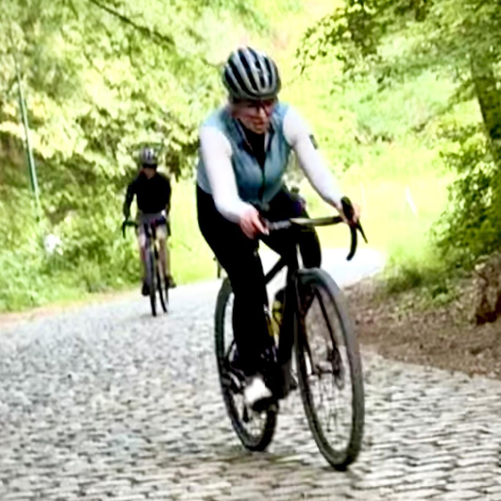
Tips from the Community

This takes longer than you think if you spend the time to enjoy the surroundings!
0
0

Gorgeous little Boardwalk in the woods! And (weirdly!) part of the reason I love hiking in Lower Woods N.R. - I'd been here about 5 times before, if not more, but I'd never seen this little boardwalk! There are so many interconnecting paths & always a new route to explore.
0
0

watch out for woodland clearances in the south because of Ash Dieback, can look like you're on another planet with the trees that used to be searching for light, now bathed in it. The river crossing itself can be a bit treacherous in winter or after any decent spell of rain. If I didn't have the big metal cleat in my shoes I'm sure I never would've made it up the bank.
0
0

Ragnall Lane (Black quarries Hill), steep for around 600m with a large portion at around 20%. A tough way to access the Cotswolds from Wotton-Under-Edge
1
0

Head out of town towards Nibley to get to the farm shop - good place for lunch
0
0


A fairly flat path in beautiful woodlands with the odd view of the Uley Valley in places. Especially nice in spring because of the masses of bluebells amongst the trees.
0
0

Frequently Asked Questions
Are there many hiking trails to choose from around Charfield?
Yes, there's a wide variety with over 490 routes available. The landscape offers everything from gentle riverside strolls along the Little Avon River to more challenging ascents onto the nearby Cotswold Edge.
What do other hikers think of the trails near Charfield?
The trails are highly regarded by the komoot community, holding an average rating of 4.5 stars. Hikers often praise the mix of quiet woodlands, open fields, and the well-maintained paths that make the area a pleasure to explore.
Are there any good circular walks that start and end in the area?
Absolutely. Many routes are designed as loops so you can end where you started. For a moderate walk that takes in some local history, consider the Almshouses in The Cotswolds – Combe Lakes loop from Wotton-under-Edge, which is a popular choice.
Can I bring my dog on the hikes around Charfield?
Most countryside paths are dog-friendly, but it's best to keep your dog on a lead, especially when crossing fields with livestock. The open spaces and woodland trails, such as those in the popular Standish Woods, are great for walking with dogs.
Are there any family-friendly or easy walks suitable for children?
Yes, the area is great for families. You'll find many gentle and relatively flat paths, particularly along the Little Avon River. The 1.5-mile parish trail starting in Charfield is an excellent, accessible option for a short family outing.
Where can I find good nature walks or wildlife spotting opportunities?
For a peaceful walk surrounded by nature, the highly-regarded Lower Woods Nature Reserve is an excellent choice. It's known for its beautiful, serene woodlands and is a great place for a quiet ramble. For something smaller and closer to the village, try the Charfield Meadow Nature Reserve.
Is it possible to access long-distance trails like the Cotswold Way from Charfield?
Yes, the Cotswold Way National Trail is easily accessible from the nearby town of Wotton-under-Edge. You can join the trail there for more strenuous hikes with rewarding panoramic views, such as the challenging Jubilee Clump Viewpoint – William Tyndale Monument loop from Wotton-under-Edge.
Are there any trails suitable for pushchairs or wheelchairs?
While many countryside paths have uneven surfaces, some flatter routes may be suitable. The path around the playing field at Charfield Village Hall is paved. For countryside walks, trails along the Little Avon River tend to be gentler, but always check conditions beforehand as they can be muddy.
Where can I find free parking for a walk?
Many walkers start from villages where on-street parking may be available, but be sure to park considerately. Some dedicated nature spots, like the popular Lower Woods Nature Reserve, offer a free car park for visitors.
Are there any walks that include a pub along the route?
Many circular walks are planned to pass through or start from villages like Wotton-under-Edge, Kingswood, or Charfield itself, which have traditional pubs. This allows you to easily combine your hike with a stop for refreshments.
What is the terrain like for hiking around Charfield?
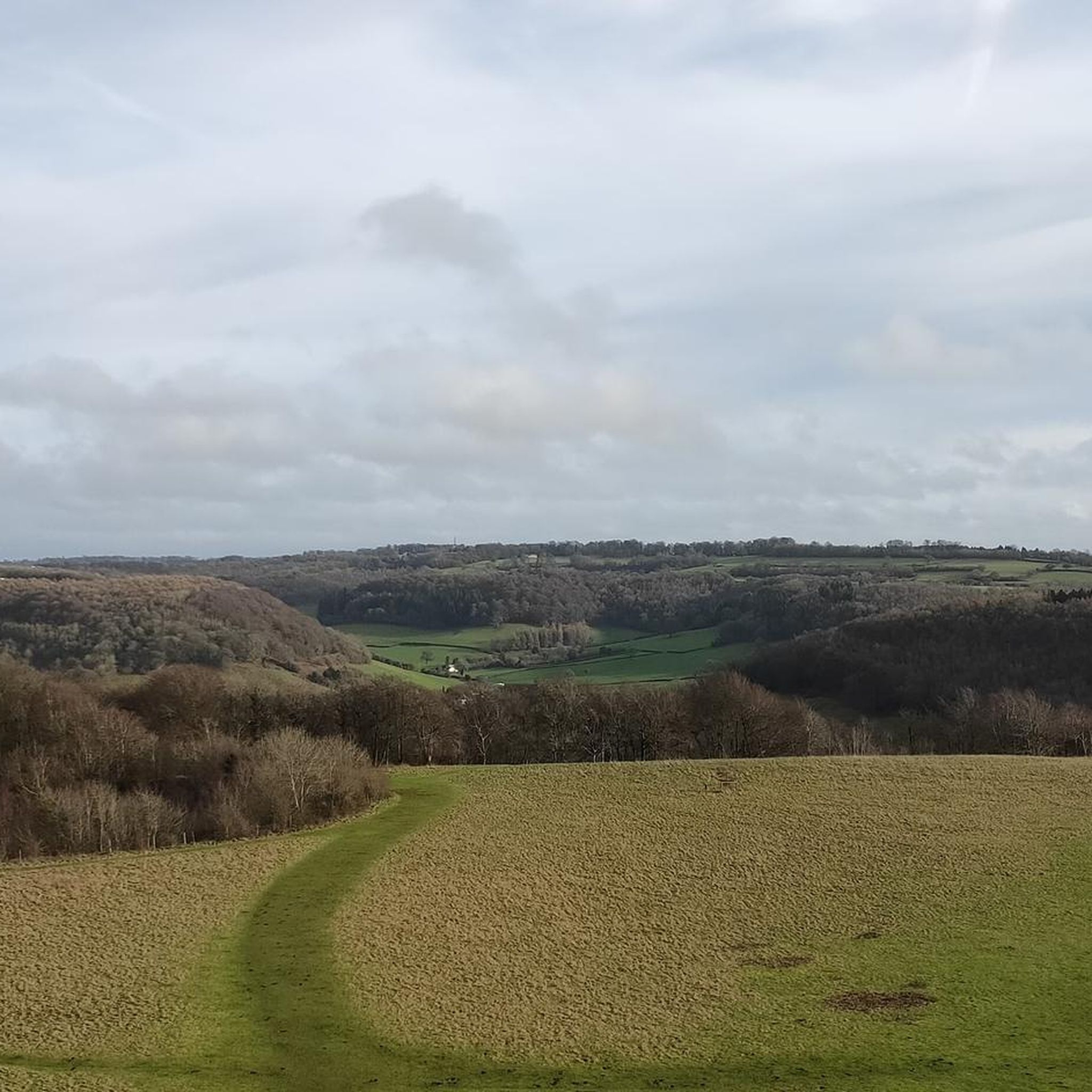
The terrain is quite varied. Immediately around the village, you'll find mostly gentle, rolling hills and flat riverside paths. For more of a challenge, the nearby Cotswold Edge offers steep escarpments and climbs that reward you with fantastic views across the Severn Vale.
Most popular attractions around Charfield

Get inspired with the komoot mobile app


Explore more
Browse the best Hikes in other regions.
