The best walks and hikes around Longney And Epney
4.6
(784)
6,815
hikers
355
hikes
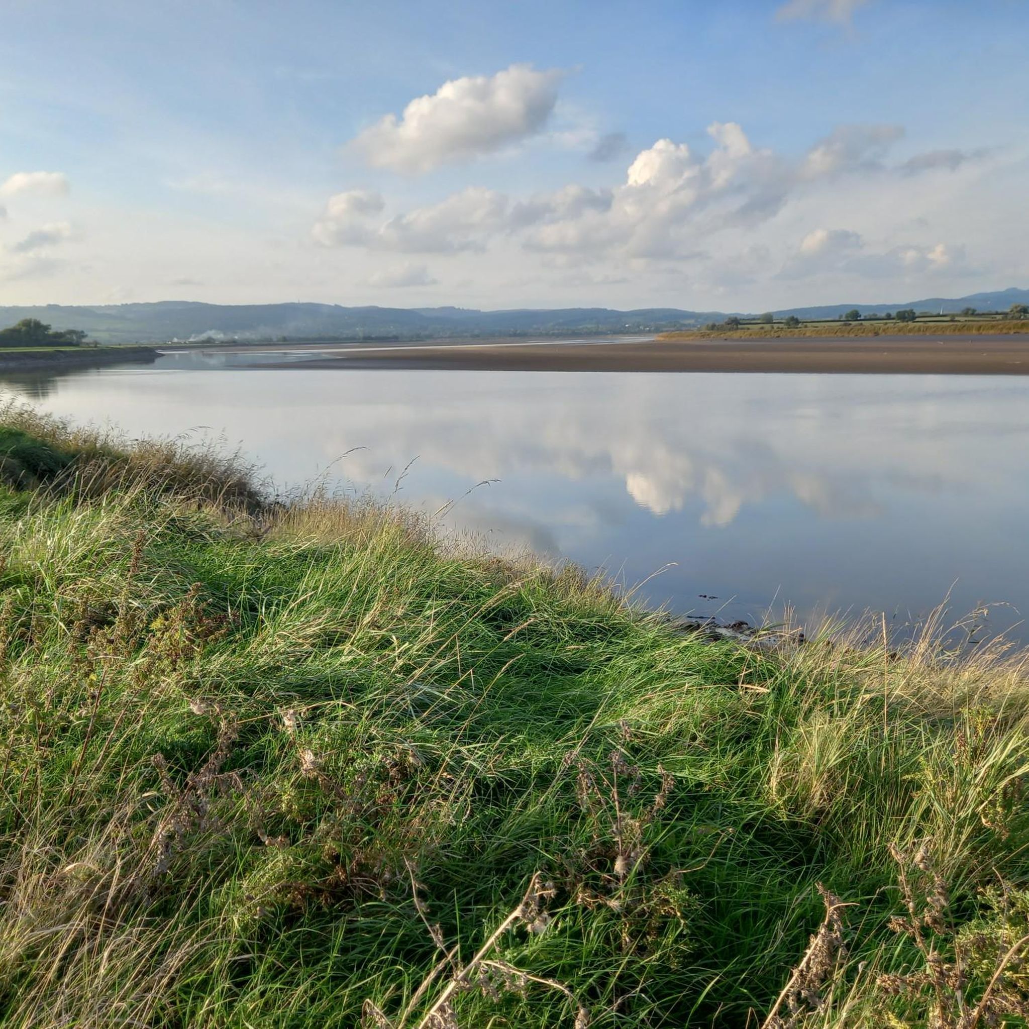
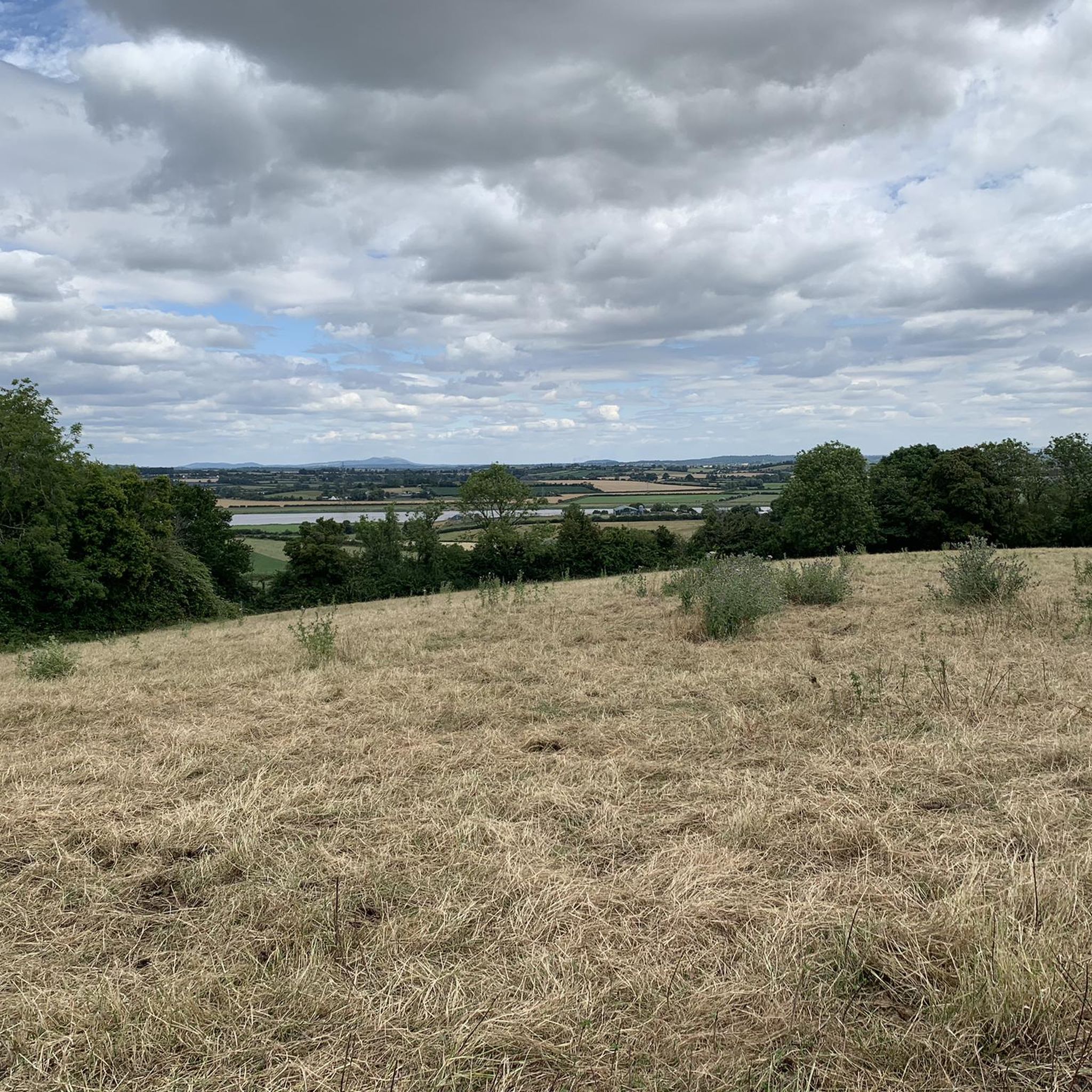
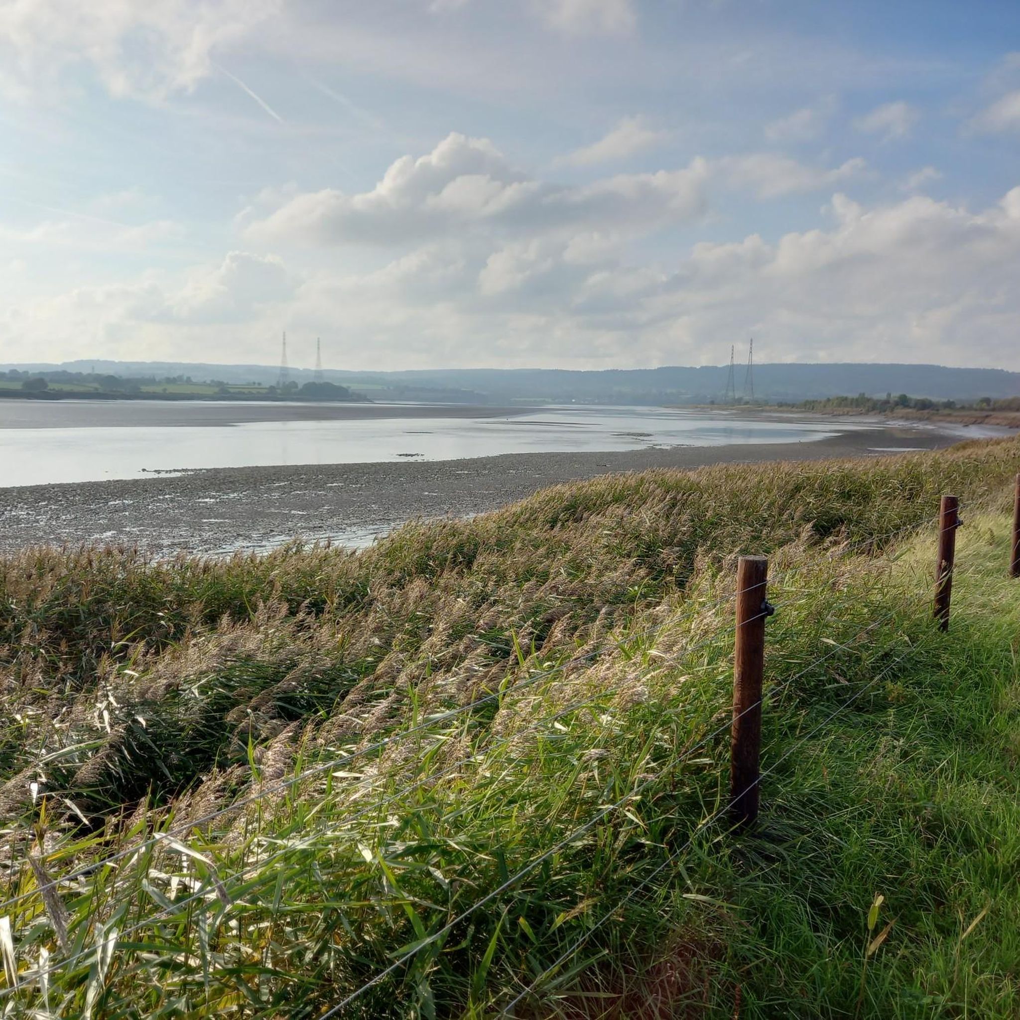
Hiking around Longney And Epney offers a tranquil experience within the Gloucestershire countryside, characterized by its rural charm and a landscape shaped by water. The area features the tidal River Severn, providing dynamic riverbank walks, alongside modest woodlands, expansive open fields, and wetlands that contribute to local biodiversity. A central ridge of higher ground offers drier paths amidst the otherwise watery terrain.
Best hiking trails around Longney And Epney
- The most popular hiking route is The Stables Café – Stables…
Last updated: July 5, 2026
4.6
(8)
71
hikers
Easy hike. Great for any fitness level. Easily-accessible paths. Suitable for all skill levels.
4.3
(4)
18
hikers
Easy hike. Great for any fitness level. Easily-accessible paths. Suitable for all skill levels.

Sign up for free
5.0
(2)
6
hikers
Easy hike. Great for any fitness level. Easily-accessible paths. Suitable for all skill levels.
9
hikers
Easy hike. Great for any fitness level. Easily-accessible paths. Suitable for all skill levels.
3.0
(1)
9
hikers
Easy hike. Great for any fitness level. Easily-accessible paths. Suitable for all skill levels.
Get access to more routes and recommendations from other explorers.
Sign up for free
Already have an account?
Our route recommendations are based on thousands of hikes, rides, and runs completed by other people on komoot.
Start today with a free account
Your next adventure awaits.
Login or Signup
Tips from the Community

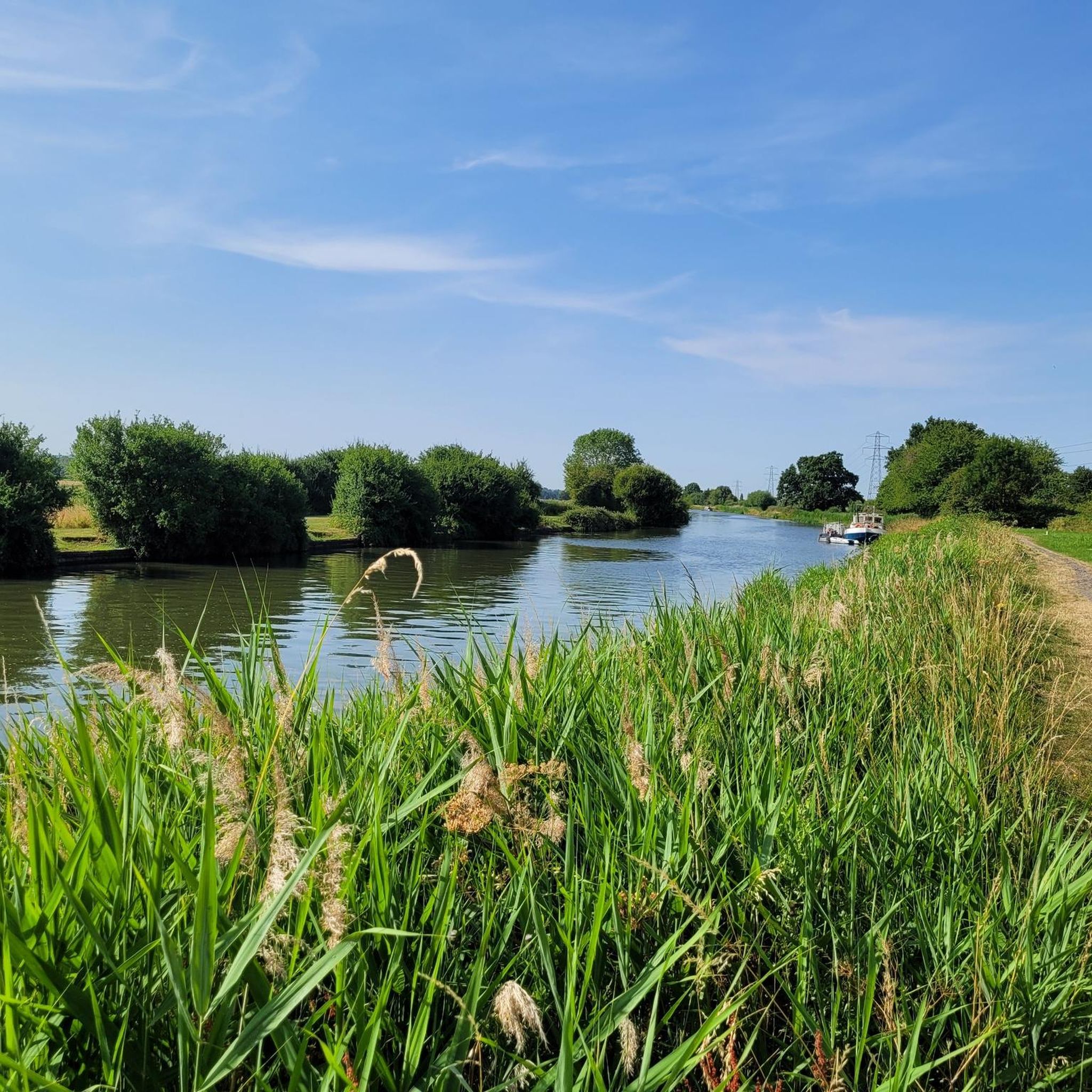
Doing a circuit from Saul Junnction along the canal towards Splatt Bridge, back through Frampton village - two pubs and a cafe - enjoying what is said to be the longest village green in England. Rejoin the canal at Fretherne Bridge and retrace your steps to Saul Junction. 7kms.
0
0

"Splatt Bridge" is one of eighteen bridges on the Gloucester & Sharpness Canal. Some of the bridges have classically styled keeper's cottages with Greek columns and pediment.
0
0

Frequently Asked Questions
How many hiking trails are available in Longney and Epney?
Longney and Epney offer a wide selection of routes, with over 300 hiking trails to explore. The majority of these, around 200, are classified as easy, making the area accessible for various fitness levels.
What is the typical terrain like for hiking in Longney and Epney?
The terrain in Longney and Epney is generally flat and characterized by a serene, rural charm. You'll find walks along the tidal River Severn, through modest woodlands, expansive open fields, and vital wetlands. There's also a central ridge of higher ground that provides drier paths amidst the otherwise watery landscape.
What do other hikers say about the trails in Longney and Epney?
The trails in Longney and Epney are highly regarded by the komoot community, boasting an average rating of 4.6 stars from over 700 reviews. More than 6,500 hikers have used komoot to explore the area, often praising its peaceful atmosphere and accessible paths.
Are there any family-friendly walks in Longney and Epney?
Yes, the relatively flat landscape makes Longney and Epney ideal for family-friendly walks and gentle strolls. Many of the routes are easy, such as the The Stables Café – Stables Cafe, Saul Junction loop from Fretherne with Saul, which follows the Stroudwater Canal and is suitable for all ages.
Can I bring my dog on the trails in Longney and Epney?
Yes, many of the trails in Longney and Epney are suitable for dog walking. The open fields and canal paths provide ample space for dogs, though it's always recommended to keep them on a lead, especially near livestock or sensitive wildlife areas. Always check local signage for specific restrictions.
Are there circular walks available in Longney and Epney?
Yes, circular walks are a popular option in the area. For example, you can enjoy a loop from St. Laurence Church in Longney, or explore routes around Saul Junction like the Stables Cafe, Saul Junction – Saul Junction loop from Fretherne with Saul, which offers canal-side walking.
What kind of natural features can I expect to see while hiking?
You'll encounter a diverse range of natural features, primarily centered around water. The tidal River Severn is a constant presence, offering dynamic views. The area also features modest woodlands, expansive open fields, and important wetlands that contribute to local biodiversity. Keep an eye out for the unique 'watery landscape' contrasted with drier gravel ridges.
Are there any notable viewpoints or landmarks nearby?
While Longney and Epney offer serene views, several prominent viewpoints are within reach for more expansive vistas. These include May Hill Summit, known for far-reaching views towards the Welsh border, Painswick Beacon with its panoramic views of the Severn estuary, and Haresfield Beacon, offering glorious views over the Severn Estuary and the Forest of Dean.
What are the options for parking when hiking in Longney and Epney?
Parking is generally available at key starting points for walks, particularly around popular areas like Saul Junction. Specific parking details can often be found on individual route descriptions on komoot, or by checking local village car parks.
Is public transport an option to reach the hiking areas?
Public transport options to Longney and Epney are limited due to their rural nature. While some bus services may connect nearby larger towns, it's advisable to check local bus timetables in advance or consider driving to access the trailheads.
What is the best time of year to hike in Longney and Epney?
The area is enjoyable year-round, but spring and summer offer the most pleasant conditions for exploring the open fields and riverbanks. Autumn brings beautiful colors to the modest woodlands. Due to the 'watery landscape,' some paths might be muddy after heavy rain, so appropriate footwear is recommended in wetter seasons.
Are there places to eat or drink near the trails?
Yes, there are options for refreshments. Saul Junction, a popular starting point for several walks, is home to the Stables Cafe. Additionally, you can find traditional pubs in the surrounding villages, offering a chance to relax and refuel after your hike.
Are there any longer or more challenging routes for experienced hikers?
While the area is predominantly known for its easy and moderate trails, there are a few routes that offer a bit more challenge, with 9 trails classified as difficult. These might involve longer distances or slightly more varied terrain, though the region generally lacks significant elevation gain. For example, the Stables Cafe, Saul Junction – Stroudwater Canal loop from Fretherne with Saul offers a good distance for a longer stroll.
Most popular routes around Longney And Epney
Most popular attractions around Longney And Epney

Get inspired with the komoot mobile app


Explore more
Browse the best Hikes in other regions.
