The best cycling routes around Maisemore
4.4
(199)
2,052
riders
215
rides
Touring cycling around Maisemore offers routes through the flat floodplains of the River Severn and gently rolling agricultural landscapes. The area is characterized by open fields, quiet country lanes, and occasional small woodlands. Elevations are generally low, making for accessible cycling. The terrain is predominantly rural, providing a tranquil setting for longer rides.
Best touring cycling routes around Maisemore
- The most popular touring cycling route is Newent & Hartpury loop from Gloucester, a 38.9 miles (62.6 km) trail that takes 3 hours 51 minutes to complete. This route explores the quiet lanes and villages north-west of Maisemore.
- Another top favourite among local touring cyclists is Mercian Way, a moderate 30.3 miles (48.8 km) path. This route follows a historic path through varied countryside, offering a mix of open views and tree-lined sections.
- Local touring cyclists also love the Cheltenham & the western Cotswolds loop from Gloucester, a 42.8 miles (68.8 km) trail leading through rolling countryside and past the edge of the Cotswolds, often completed in about 4 hours 15 minutes.
- Touring cycling around Maisemore is defined by river floodplains, agricultural fields, and gentle hills, with options for easy, moderate, and difficult routes. The network offers choices for various ability levels, from leisurely rides to more challenging distances.
- The routes in Maisemore are highly rated by the komoot community with an average score of 4.4 stars from more than 190 reviews. More than 2,200 touring cyclists have used komoot to explore Maisemore's varied terrain.
Last updated: August 1, 2026
4.0
(1)
39
riders
62.6km
03:51
430m
430m
Moderate bike ride. Good fitness required. Mostly paved surfaces. Suitable for all skill levels.
4.9
(8)
20
riders
48.8km
03:13
340m
340m
Embark on the Mercian Way, a moderate touring bicycle route that guides you through the picturesque Cotswolds National Landscape. This 30.3-mile (48.8 km) journey, with an elevation gain of 1113 feet (339 metres), offers a diverse cycling experience, taking approximately 3 hours and 12 minutes to complete. You will pedal along tranquil canal towpaths, former railway paths, and quiet country lanes, enjoying glimpses of the River Severn. Expect a mix of paved roads and some dirt or gravel sections, winding through ancient woodlands and historic towns. Make sure to take in the expansive views from Haresfield Beacon, a notable landmark along the way.
Before you set out on the Mercian Way, consider that the route features about 74% paved roads and 10% dirt or gravel tracks. Some of these unpaved sections can become rough and muddy, especially after rainfall, so a hybrid, adventure, or hardtail mountain bike is recommended over a standard road bike for comfort and capability. General parking is available in Gloucester, which serves as a convenient starting point for your ride. Plan your visit to allow ample time to enjoy the varied scenery and historic points of interest.
The Mercian Way is notable for its journey through a landscape rich in history and natural beauty, connecting you with the region's past. You will traverse paths that once served as vital transport links, such as the Stroud Canal Towpath, offering a unique perspective on the area's industrial heritage. The route provides an excellent opportunity to explore the diverse ecosystems of the Cotswolds, from riverside habitats to ancient woodlands. This trail stands out as a comprehensive way to experience the varied character of the National Landscape on two wheels.

Sign up for free
5.0
(1)
7
riders
68.8km
04:16
500m
500m
Embark on a challenging touring bicycle adventure through the western Cotswolds, starting and ending in Gloucester. This difficult 42.8-mile (68.8 km) loop will test your endurance with 1654 feet (504 metres) of elevation gain, typically taking around 4 hours and 15 minutes to complete. You will pedal through classic English countryside, encountering rolling hills, picturesque villages, and charming stone farms.
As you plan your ride, be prepared for varied terrain that includes both well-paved roads and potentially unpaved segments or gravel tracks. A good level of fitness and a suitable touring bicycle are highly recommended to comfortably tackle the route's demands. While some sections might be traffic-free, expect to share the road with vehicles on other parts of the journey.
This route offers a rewarding exploration of the Cotswolds, an Area of Outstanding Natural Beauty. From elevated viewpoints like Cleeve Hill, you can enjoy expansive vistas across the Severn Valley, the Malvern Hills, and even glimpse towards Wales. The journey provides a diverse experience, showcasing quaint cottages and flower-filled gardens that define the region's unique charm.
4.7
(6)
54
riders
23.1km
01:29
90m
90m
Easy bike ride. Great for any fitness level. Mostly paved surfaces. Suitable for all skill levels.
4.5
(6)
48
riders
20.9km
01:45
30m
30m
Easy bike ride. Great for any fitness level. Mostly paved surfaces. Suitable for all skill levels.
Get access to more routes and recommendations from other explorers.
Sign up for free
Already have an account?
Our route recommendations are based on thousands of hikes, rides, and runs completed by other people on komoot.
Start today with a free account
Your next adventure awaits.
Login or Signup
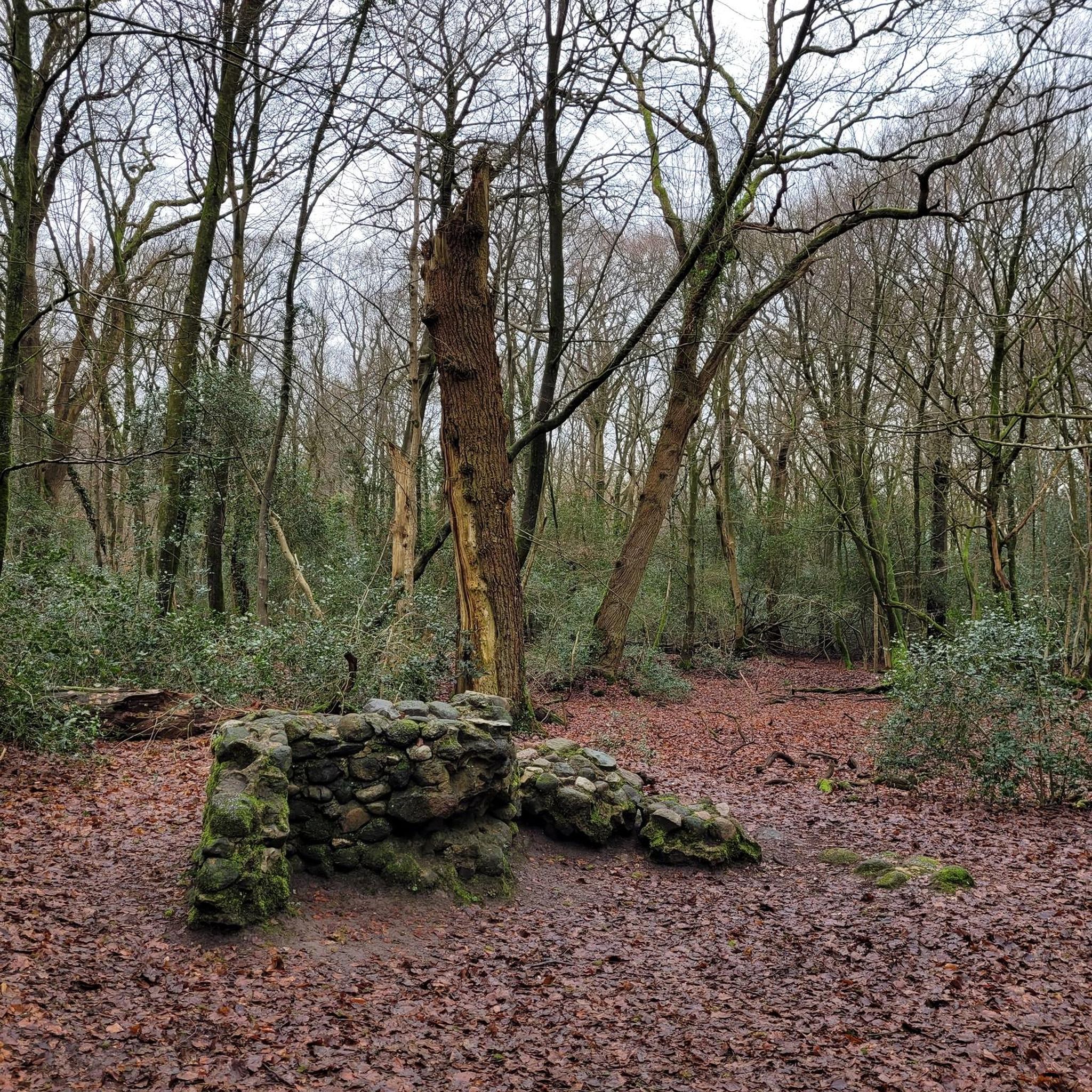
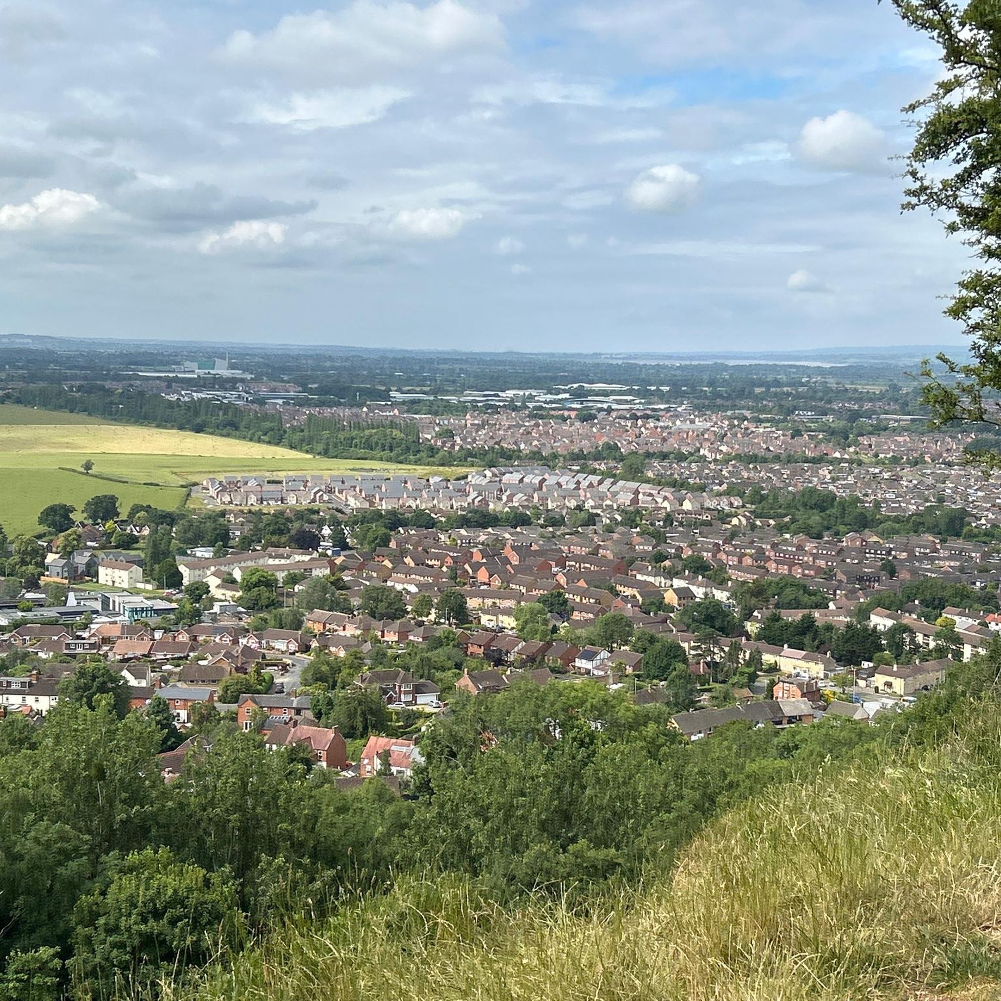
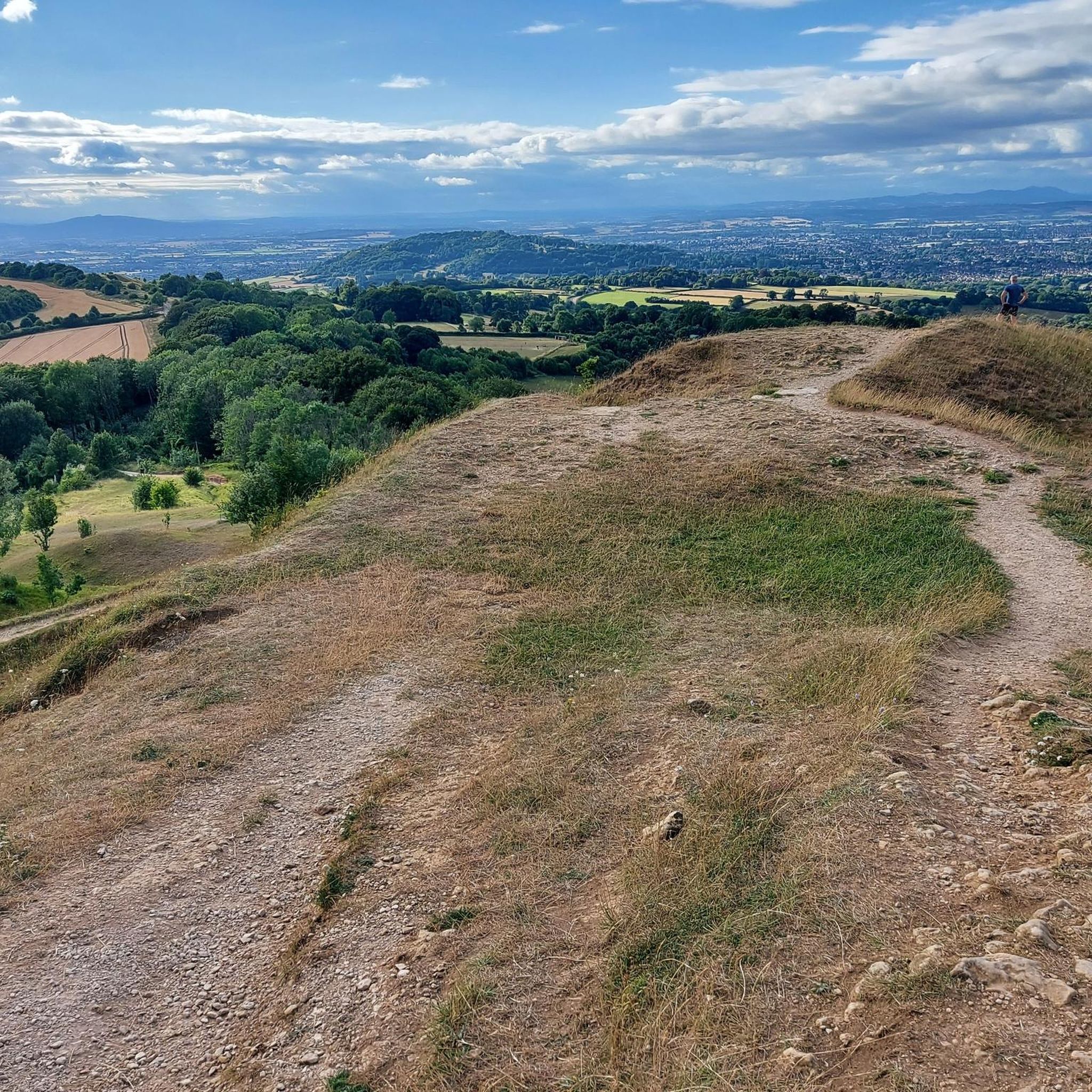
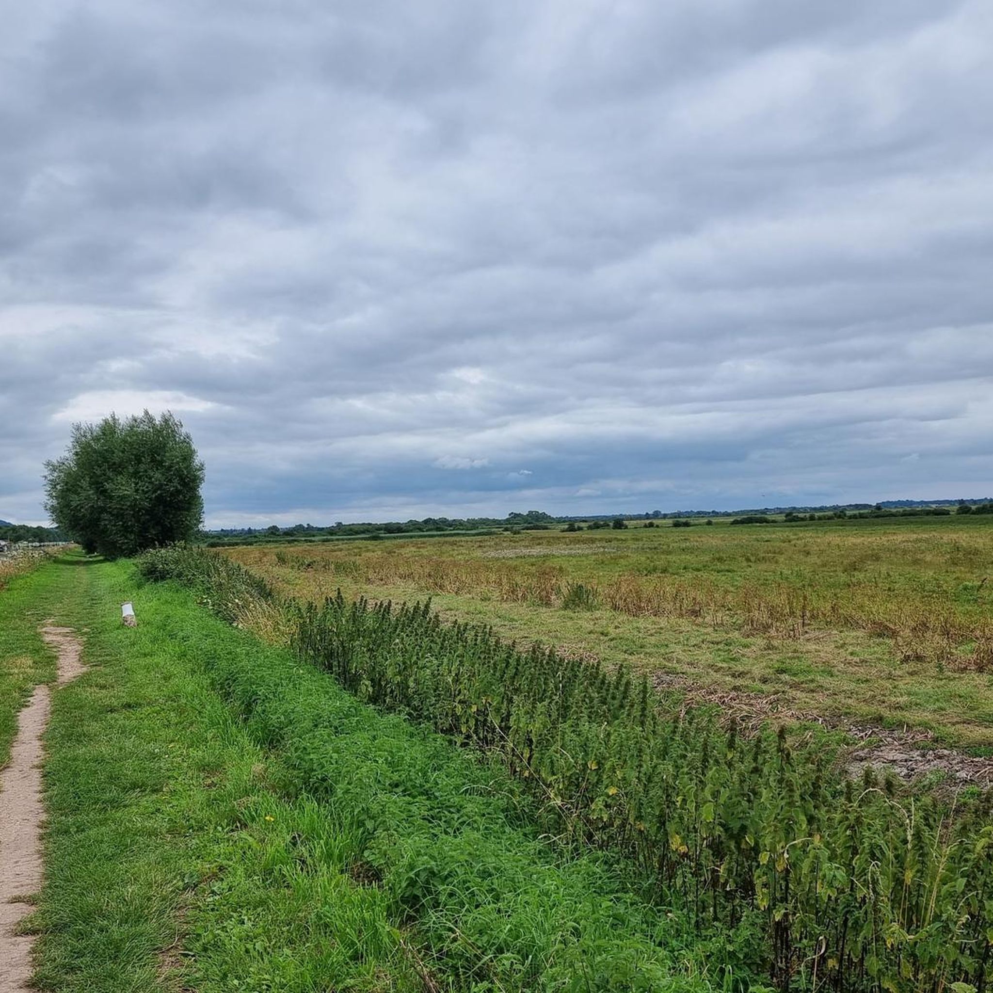
Tips from the Community

Typically Cotswold village, tucked away in a hollow below Cleeve Hill.
0
0

Powerful building. Impressive.
2
0

Get there whenever you see the boats leaving the docks!
0
0

This was a lovely place on a sunny day to watch the world go by
0
0

Really great restoration and lovely towpath. It can get busy, so caution needed.
0
0

Muddy AF. Avoid in winter unless you are on a MTB
0
0

Lovely church n beautiful village
0
0
Beautiful church I go there when I pass through from stoke orchard
0
0
Frequently Asked Questions
What kind of terrain can I expect on touring cycling routes around Maisemore?
Touring cycling around Maisemore primarily features routes through the flat floodplains of the River Severn and gently rolling agricultural landscapes. You'll encounter open fields, quiet country lanes, and occasional small woodlands. Elevations are generally low, making for accessible cycling, though some routes venture into slightly hillier areas towards the Cotswolds.
How many touring cycling routes are available in the Maisemore area?
There are over 240 touring cycling routes available around Maisemore, offering a wide variety of options for different skill levels and preferences. This includes 130 easy routes, 88 moderate routes, and 23 more difficult trails.
Are there family-friendly touring cycling routes suitable for beginners in Maisemore?
Yes, Maisemore offers many routes suitable for families and beginners. With 130 easy routes, you'll find plenty of gentle options. A good example is the Llanthony Bridge – Lightvessel LV14 SULA loop from Gloucester, which is an easy 14.9-mile (24 km) trail with minimal elevation gain.
Are there more challenging touring cycling routes for experienced cyclists around Maisemore?
For experienced cyclists looking for a challenge, Maisemore offers 23 difficult routes. One such route is the Cheltenham & the western Cotswolds loop from Gloucester, a 42.8-mile (68.8 km) trail that includes over 500 meters of elevation gain as it leads through rolling countryside and past the edge of the Cotswolds.
What kind of distances and elevations can I expect on touring cycling routes in Maisemore?
Routes vary significantly in length and elevation. You can find shorter, flatter rides like the Llanthony Bridge – Lightvessel LV14 SULA loop from Gloucester at 14.9 miles (24 km) with under 100 meters of elevation. Longer routes, such as the Newent & Hartpury loop from Gloucester, cover 38.9 miles (62.6 km) with around 427 meters of ascent, offering more extensive rides through varied landscapes.
Are there circular touring cycling routes available around Maisemore?
Yes, many of the touring cycling routes around Maisemore are circular, allowing you to start and finish at the same point. Examples include the popular Newent & Hartpury loop from Gloucester and the Cheltenham & the western Cotswolds loop from Gloucester, both designed as loops for convenience.
What do other touring cyclists enjoy the most about touring cycling in Maisemore?
The area is highly rated by the komoot community, with an average score of 4.4 stars from more than 190 reviews. Touring cyclists often praise the tranquil setting, quiet country lanes, and the variety of routes that cater to different abilities, from leisurely rides through agricultural fields to more challenging distances towards the Cotswolds.
What interesting landmarks or attractions can I see along touring cycling routes near Maisemore?
While cycling, you can explore several notable attractions. Consider visiting Gloucester Cathedral, a magnificent historical site. For natural beauty, Painswick Beacon offers scenic views, and you might pass through areas like Buckholt Lane or Buckholt Woods Singletrack, which provide pleasant forested sections.
Are there any routes that follow historic paths in the Maisemore area?
Yes, the Mercian Way is a moderate 30.3-mile (48.8 km) path that follows a historic route through varied countryside. This trail offers a mix of open views and tree-lined sections, providing a sense of the region's heritage as you cycle.
Where can I find parking when starting a touring cycling route near Maisemore?
Many routes start from larger towns like Gloucester, where public parking facilities are available. For routes originating closer to Maisemore, you can often find parking in local villages or designated spots, though it's always advisable to check specific starting points for parking availability.
When is the best time of year to go touring cycling in Maisemore?
The best time for touring cycling in Maisemore is generally during the spring, summer, and early autumn months (April to October). During these periods, the weather is typically milder, and the agricultural landscapes are vibrant. The low-lying floodplains can be prone to wet conditions in winter, making other seasons more enjoyable for cycling.
Most popular attractions around Maisemore

Get inspired with the komoot mobile app


Explore more
Browse the best Cycling routes in other regions.
