The best road cycling routes around Otterford
4.6
(277)
6,892
riders
214
rides
Road cycling routes around Otterford are situated within the Blackdown Hills National Landscape in Somerset, England, offering a diverse backdrop of rolling hills, valleys, and woodlands. The area is characterized by undulating terrain, providing varied challenges for road cyclists. The landscape includes the tranquil Otterhead Lakes Local Nature Reserve and the winding roads of the River Otter valley. This region offers scenic roads that are less likely to be heavily trafficked, ensuring a peaceful cycling experience.
Best road cycling routes…
Last updated: July 15, 2026
5.0
(5)
148
riders
97.5km
05:03
1,030m
1,030m
Hard road ride. Very good fitness required. Mostly well-paved surfaces and easy to ride.
4.6
(5)
67
riders
66.1km
03:40
810m
800m
Moderate road ride. Good fitness required. Mostly well-paved surfaces and easy to ride.

Sign up for free
4.7
(7)
125
riders
52.2km
02:41
610m
610m
Moderate road ride. Good fitness required. Mostly well-paved surfaces and easy to ride.
28
riders
91.9km
04:52
1,020m
1,030m
Hard road ride. Very good fitness required. Some segments of this route may be unpaved and difficult to ride.
15
riders
69.9km
03:33
850m
850m
Moderate road ride. Good fitness required. Mostly well-paved surfaces and easy to ride.
Get access to more routes and recommendations from other explorers.
Sign up for free
Already have an account?
Our route recommendations are based on thousands of hikes, rides, and runs completed by other people on komoot.
Start today with a free account
Your next adventure awaits.
Login or Signup

Other adventures around Otterford

Tips from the Community

Jurassic Coast - here, as a touring cyclist, you get a nice access with wonderful views, swimming options and good restaurants.
0
0

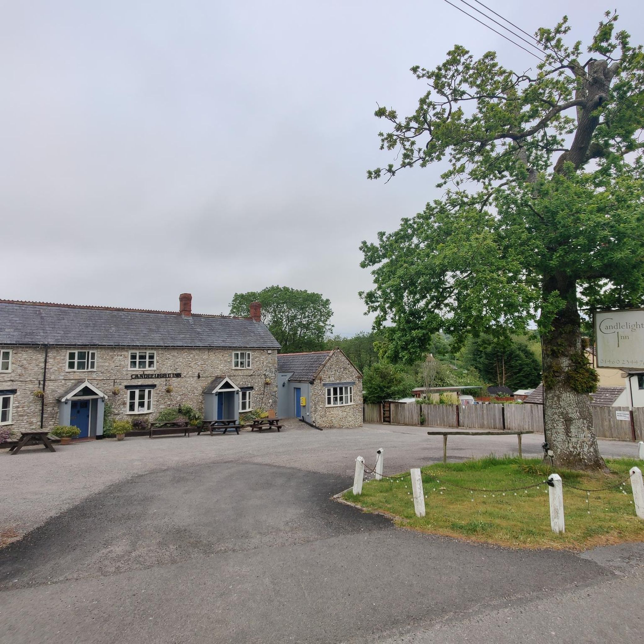
Best cafe for miles . Loads of seating inside and out. Pet friendly. Fantastic cakes and fresh coffee. Staff are brilliant
0
0

wellington monument sits on the top of the black down hills so be prepared for a big climb from all directions
0
0

Colyford Filling Station, built in 1927-8 to the designs of Frederick Kett. Grade II listed building.
1
0

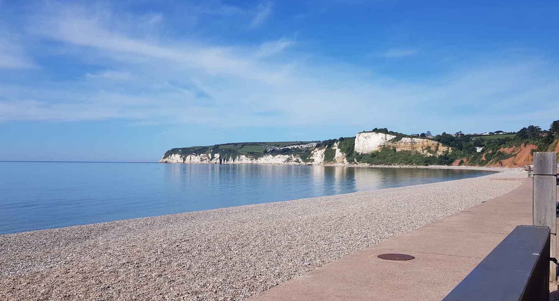
A mile-long beach with a mix of sand and shingle, clear water, and a gently sloping shore. It's a great place for swimming, water sports, and walking. The beach is surrounded by cliffs and green hillsides, and is a popular spot for photographers. A flat walking area that runs alongside the beach, with a cafe at one end and the town at the other.
1
0


It's a good climb from Thurlbear Road, starting with a watersplash. Weekends will be busier with dog walkers and horse riders, so remember to let them know you're there before passing. There's also drop-ins from bandit trails crossing the path here and sightlines aren't great in the summer. After the well surfaced bridleway, it widens out into a newly made logging road up to Frost Street. It's also a great descent on a rigid mountain bike, but be like Shaw Taylor on 'Police 5', and "keep 'em peeled" This is part of the Herepath, a circular path waymarked and open to horse riders, cyclists and walkers.
0
0
Wide open fireroad descent with a couple of footpath crossing, then a steeper, well surfaced bridleway out to the road. Take this bit easy on a weekend as it's popular with horse riders and dog walkers; there's also some drop-ins from bandit trails crossing the path here and sightlines aren't great in the summer. A nice little watersplash finishes it off nicely before the tarmac. I rode it as a climb up through the woods, and it's great both ways.
1
0
Frequently Asked Questions
How many road cycling routes are available around Otterford?
There are over 200 road cycling routes available around Otterford, offering a wide range of options for different skill levels within the scenic Blackdown Hills National Landscape.
What kind of terrain can I expect when road cycling in the Otterford area?
Road cycling in the Otterford area, situated within the Blackdown Hills National Landscape, is characterized by undulating terrain, rolling hills, valleys, and woodlands. This provides a mix of challenging climbs and rewarding descents amidst picturesque scenery.
Are there routes suitable for beginners or those looking for an easier ride?
While the Blackdown Hills are known for their undulating terrain, there are over 40 easier road cycling routes around Otterford. These routes offer a gentler experience, allowing cyclists to enjoy the scenic landscapes without overly strenuous climbs.
What are some of the more challenging road cycling routes near Otterford?
For experienced cyclists seeking a challenge, there are over 30 difficult road cycling routes. An example is The Taunton Flyer Dakota route — Blackdown Hills, a 60.6-mile (97.5 km) trail featuring significant elevation gain and rewarding descents.
What natural features or landmarks can I see along the road cycling routes?
Many routes offer views of the Blackdown Hills. You can also pass by the tranquil Otterhead Lakes Local Nature Reserve, or cycle past the impressive Wellington Monument, the tallest three-sided obelisk in the world.
Are there any circular road cycling routes around Otterford?
Yes, many of the routes around Otterford are designed as loops. For instance, the Wellington Monument – View South Over Hemyock loop from Buckland St Mary is a popular 32.5-mile (52.2 km) circular trail that takes you through rolling hills and past the monument.
What do other road cyclists enjoy most about cycling in Otterford?
The area is highly rated by the komoot community, with an average score of 4.6 stars from over 200 reviews. Cyclists often praise the picturesque scenery, the varied undulating terrain, and the peaceful experience on less-trafficked roads within the Blackdown Hills National Landscape.
Are there any historical sites or attractions near the cycling routes?
Beyond natural beauty, you can explore historical sites. The Castle Neroche Iron Age Hill Fort offers fascinating remnants and amazing views. In Hemyock, you can find St Mary's Church and Hemyock Castle, adding a historical dimension to your ride.
What is the best time of year to go road cycling in Otterford?
The Blackdown Hills offer pleasant cycling conditions during spring, summer, and early autumn when the weather is generally milder and the landscapes are vibrant. The scenic roads are less likely to be heavily trafficked, providing a peaceful experience during these seasons.
Are there options for moderate-difficulty road cycling routes?
Yes, the majority of road cycling routes around Otterford are of moderate difficulty, with over 130 options available. These routes provide a good balance of challenge and enjoyment. An example is the Taunton Flyer Spitfire route — Blackdown Hills, a 41.1-mile (66.1 km) path with undulating terrain and scenic views.
Where can I find parking for road cycling routes in Otterford?
While specific parking details for every route vary, Otterford and surrounding villages within the Blackdown Hills National Landscape typically offer public parking options. It's advisable to check local amenities or route descriptions for designated parking areas near your chosen starting point.
Are there any long-distance road cycling routes available?
Yes, for those looking for longer rides, there are several routes exceeding 50 miles. The The Taunton Flyer Dakota route — Blackdown Hills is a challenging 60.6-mile (97.5 km) option, and the Thurlbear Wood Bridleway loop from Buckland St Mary covers 57.1 miles (91.9 km).
Most popular routes around Otterford
Most popular attractions around Otterford

Get inspired with the komoot mobile app


Explore more
Browse the best Road cycling routes in other regions.
