The best running trails around Milburn
3.8
(14)
1,473
runners
68
runs
Jogging routes around Milburn offer a variety of natural landscapes and local paths. The region features a mix of forest trails, open countryside, and routes exploring areas around towns like Coleraine. Terrain generally includes gentle inclines and varied surfaces, suitable for different running preferences.
Best jogging routes around Milburn
- The most popular jogging route is Somerset Forest loop from Coleraine, a 4.3 miles (6.9 km) trail that takes 45 minutes to complete, guiding runners through woodland paths.
- Another top…
Last updated: June 25, 2026
3.0
(3)
11
runners
6.85km
00:43
50m
50m
Moderate run. Good fitness required. Mostly paved surfaces. Suitable for all skill levels.
6
runners
9.43km
00:59
40m
40m
Moderate run. Good fitness required. Mostly paved surfaces. Suitable for all skill levels.

Sign up for free
12
runners
17.1km
01:47
120m
120m
Hard run. Very good fitness required. Mostly paved surfaces. Suitable for all skill levels.
4
runners
9.34km
01:01
90m
90m
Moderate run. Good fitness required. Mostly paved surfaces. Suitable for all skill levels.
4
runners
17.5km
01:55
170m
170m
Hard run. Very good fitness required. Mostly paved surfaces. Suitable for all skill levels.
Get access to more routes and recommendations from other explorers.
Sign up for free
Already have an account?
Our route recommendations are based on thousands of hikes, rides, and runs completed by other people on komoot.
Start today with a free account
Your next adventure awaits.
Login or Signup
Tips from the Community

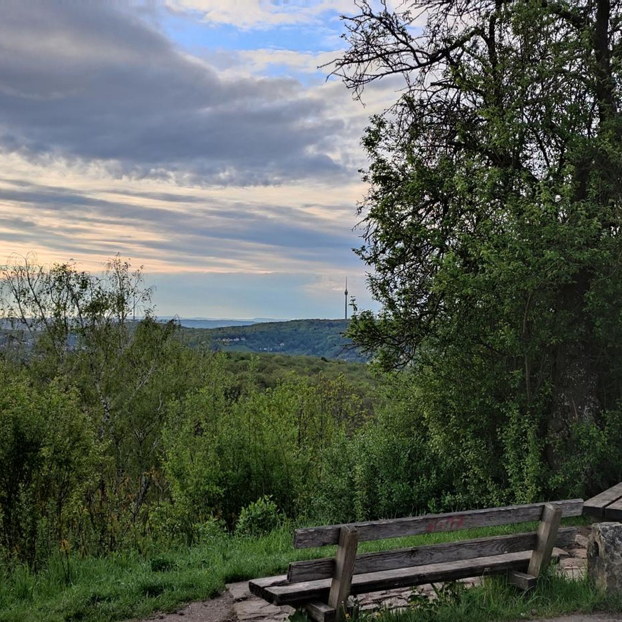
Portstewart Strand is a sweeping two-mile beach at the edge of town and forms a fitting finale (or start!) to the Causeway Coast Way. The viewpoint is from St. Patrick’s Well, a small spring long associated with local tradition.
1
0


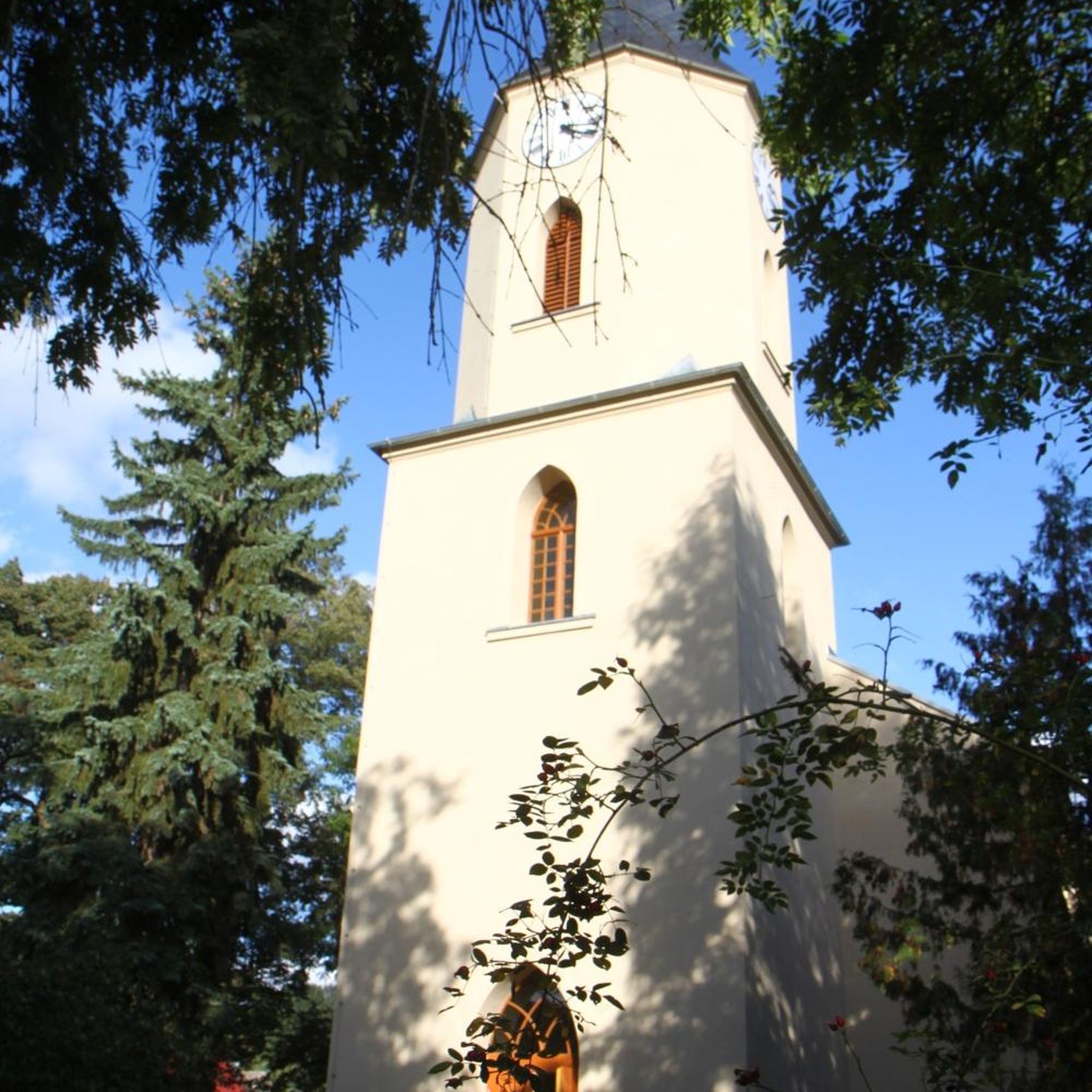
The church is located in the pedestrian area and the park is behind it, with playgrounds and a nice lawn.
1
0
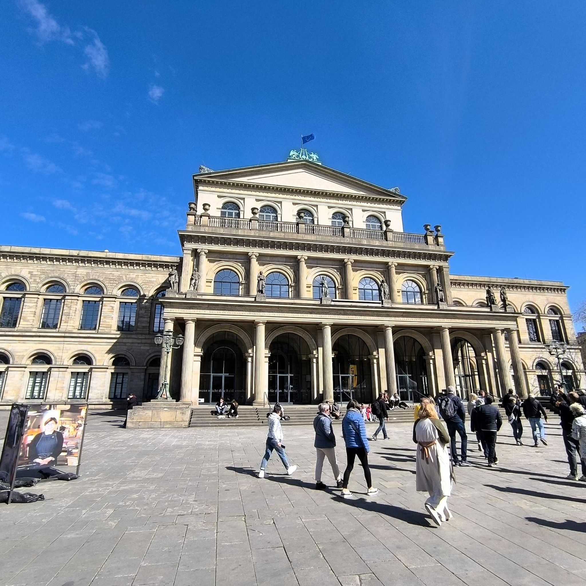
In a very nice little square, with benches and many shops in the pedestrian area.
1
0

Frequently Asked Questions
How many running routes are available around Milburn?
There are over 70 running routes documented around Milburn on komoot, offering a wide variety of options for different preferences and fitness levels.
Are there easy running routes suitable for beginners in Milburn?
Yes, Milburn offers several easy running routes perfect for beginners. There are 6 routes specifically classified as easy, providing gentle terrain to get started.
What are some challenging running trails in the Milburn area?
For those seeking a challenge, Milburn has 19 routes classified as difficult. A notable option is the Lost & Found Café loop from Coleraine, which covers 19.2 km with significant elevation changes.
What kind of scenery can I expect on running routes around Milburn?
Running routes around Milburn offer diverse scenery, including forest paths, open countryside, and local loops. You'll find a mix of natural landscapes and paths exploring areas around towns like Coleraine.
Are there any scenic viewpoints or landmarks along the running trails?
While running, you can explore the wider region which features impressive landmarks. Nearby attractions include the historic Dunluce Castle Ruins, the iconic Mussenden Temple, and the scenic Magheracross Viewpoint, offering stunning coastal views.
What do other runners say about the trails in Milburn?
The running routes in Milburn are highly rated by the komoot community, with an average score of 3.8 stars from over 10 reviews. Many runners praise the varied terrain and the well-maintained paths through woodlands and open countryside.
Are there any long-distance running options around Milburn?
Yes, for longer runs, you can find several routes over 10 km. The Lost & Found Café loop from Coleraine is a substantial 19.2 km trail, providing a good endurance challenge.
Can I find circular running routes in Milburn?
Many of the running routes around Milburn are designed as loops, allowing you to start and finish at the same point. Examples include the popular Running loop from Drumadragh and the Running loop from University.
What is the best time of year to go running in Milburn?
Milburn's running trails are enjoyable year-round. While spring and summer offer milder weather and lush greenery, autumn brings beautiful foliage. Winter runs can be invigorating, though some paths might be muddy or require appropriate gear.
Are the running routes around Milburn suitable for families?
Many of the easier and moderate routes, especially those through forests or on well-maintained paths, can be suitable for families. Consider routes with shorter distances and less elevation gain for a more enjoyable family experience.
Is public transport available to access running paths in Milburn?
Milburn and nearby towns like Coleraine have public transport links. It's advisable to check local bus schedules to see which routes connect closest to your desired starting points for running trails.
Where can I find parking for the running trails?
Parking availability varies by route. Many trails starting near towns or popular parks, such as those around Coleraine, often have designated parking areas. For more remote starting points, roadside parking might be an option, but always check local regulations.
Most popular routes around Milburn
Most popular attractions around Milburn

Get inspired with the komoot mobile app


Explore more
Browse the best Running Trails & Routes in other regions.
