The best walks and hikes around Whitchurch
4.5
(751)
11,926
hikers
30
hikes
Hikes near Whitchurch explore the landscape north of Cardiff, characterized by river paths along the River Taff and ascents to nearby hills. The area provides a mix of urban parkland routes and more challenging trails leading to viewpoints over the city and surrounding countryside. The terrain ranges from level riverside walks to steeper climbs on hills like The Garth.
Best hiking trails around Whitchurch
- The most popular hiking route is Radyr Weir – View of the River loop from Whitchurch, a 2.6 mile (4.2 km) trail that takes about 1 hour to complete. This is an easy walk that follows paths along the River Taff.
- Another top favourite among local hiking enthusiasts is Radyr Weir – View of the River loop from Llandaf, a moderate 5.9 mile (9.4 km) path. The route offers extended riverside scenery with minimal elevation change.
- Local hiking enthusiasts also love the The Garth Summit – Craig Yr Allt loop from Radyr, a 15.1 mile (24.3 km) trail leading through varied terrain, often completed in about 7 hours.
- Hiking around Whitchurch is defined by riverside paths, large urban parks like Bute Park, and ascents to prominent local hills. The network of trails provides options for different ability levels, from short, flat walks to longer, more difficult hikes.
- The routes in Whitchurch are highly rated by the komoot community with an average score of 4.5 stars from more than 15 reviews. More than 350 hikers have used komoot to explore Whitchurch's varied terrain.
Last updated: August 19, 2026
5.0
(3)
25
hikers
24.4km
07:09
660m
660m
Hard hike. Very good fitness required. Easily-accessible paths. Suitable for all skill levels.
4.0
(1)
43
hikers
9.36km
02:25
40m
40m
Moderate hike. Good fitness required. Easily-accessible paths. Suitable for all skill levels.

Sign up for free
5.0
(4)
32
hikers
19.9km
05:05
80m
80m
Hard hike. Very good fitness required. Easily-accessible paths. Suitable for all skill levels.
4.8
(6)
21
hikers
17.6km
05:07
440m
440m
Hard hike. Very good fitness required. Easily-accessible paths. Suitable for all skill levels.
5.0
(1)
20
hikers
7.23km
01:52
40m
40m
Easy hike. Great for any fitness level. Easily-accessible paths. Suitable for all skill levels.
Get access to more routes and recommendations from other explorers.
Sign up for free
Already have an account?
Our route recommendations are based on thousands of hikes, rides, and runs completed by other people on komoot.
Start today with a free account
Your next adventure awaits.
Login or Signup

Tips from the Community

Friendly staff and the coffee is good too
1
0


This wall extends from the castle and has stone carvings of various animals which would have been very exotic when it was created. Much fun 🙂
0
0
Beautiful tree-lined routes go round the perimeter of Pontcanna Fields
1
0
A tunnel of trees. This path will lead you towards Cardiff Pedal Power. They have a great cafe, camping and cycle hire.
0
0
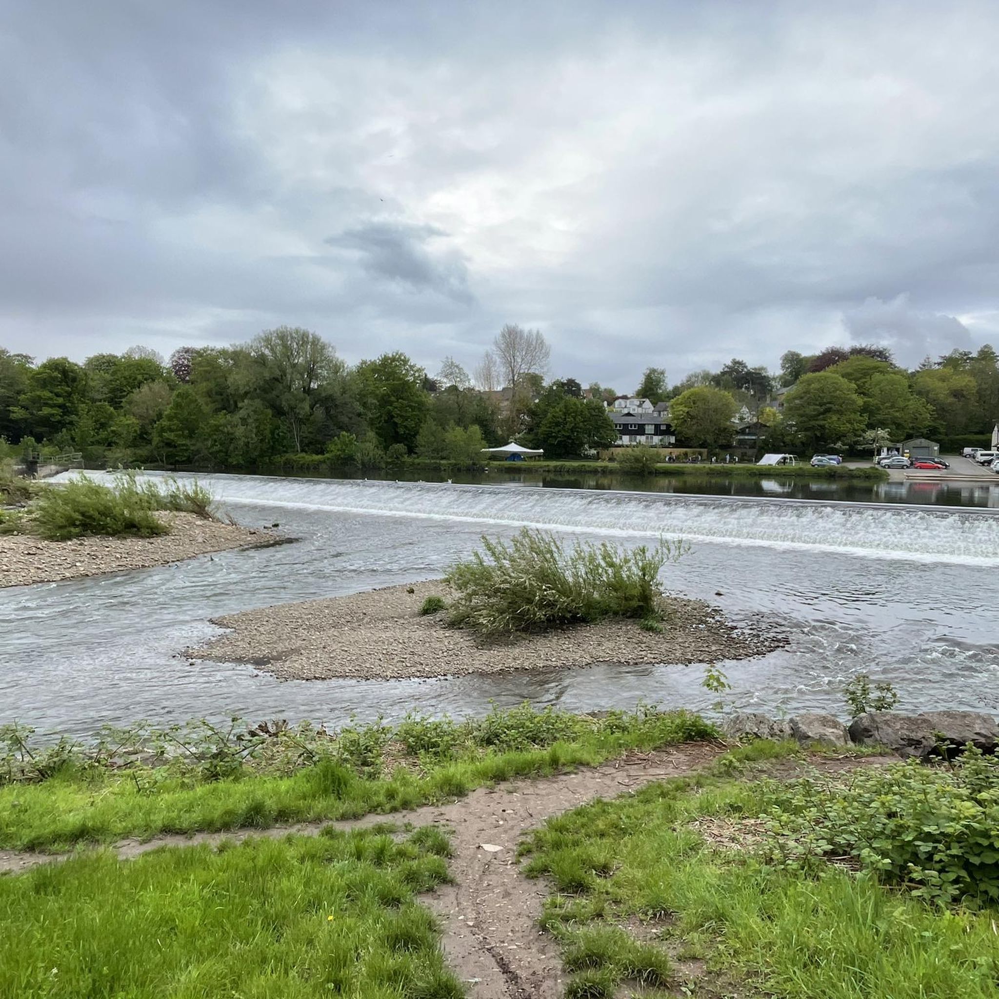
Great place to capture some photos of the River Taff. Scenic all year round
0
0

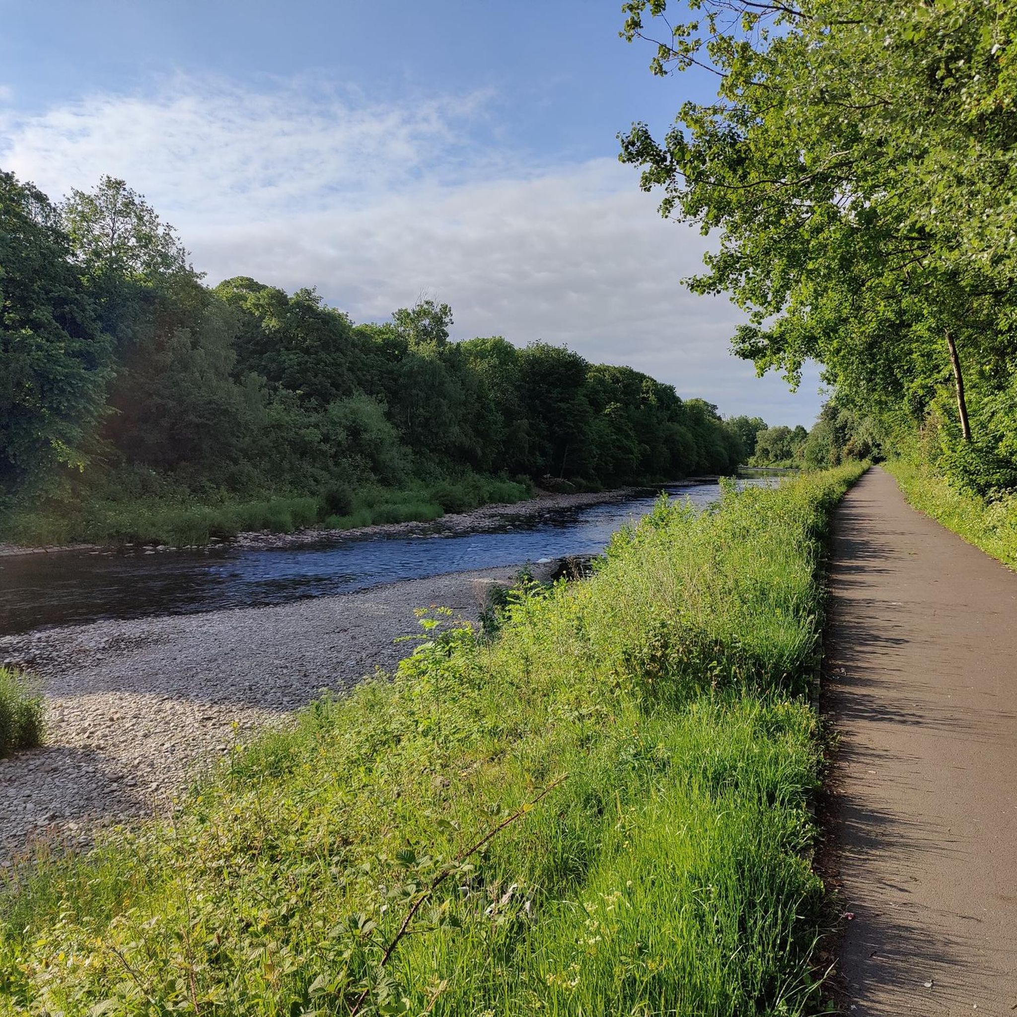
Nice tree lined path and is a good way of moving westwards across the city.
0
0
Frequently Asked Questions
Are there any easy, family-friendly walks in the Whitchurch area?
Yes, the area is great for family outings. Many of the trails follow the level paths along the River Taff. A particularly suitable option is the Radyr Weir – View of the River loop from Whitchurch, which is a short and flat walk perfect for all ages.
What are the options for dog-friendly walks?
Most of the trails around Whitchurch, especially those through parklands and along the River Taff, are suitable for walking with a dog. The open spaces of Bute Park and the riverside paths offer plenty of room. Always be mindful of local regulations, especially around wildlife and in busier park sections.
Can I find any challenging, long-distance hikes?
Certainly. For hikers seeking a more strenuous day out, there are several difficult routes. The The Garth Summit – Craig Yr Allt loop from Radyr is a demanding 24 km trek with significant elevation gain, offering a rewarding challenge and expansive views.
What kind of scenery can I expect on hikes around Whitchurch?
The landscape is defined by a mix of urban and natural scenery. You'll find peaceful riverside walks along the River Taff, expansive urban green spaces like Bute Park, and ascents to prominent local hills such as The Garth, which provide panoramic views over Cardiff and the surrounding countryside.
Are there any circular routes available?
Yes, many of the recommended hikes are circular, allowing you to start and end at the same point without retracing your steps. For a moderate loop, consider the Radyr Weir – View of the River loop from Llandaf, which offers a pleasant 9 km walk along the river.
How many hiking trails are there to choose from near Whitchurch?
There are over 30 hiking routes to explore around Whitchurch on komoot. These range from easy, short walks to difficult all-day treks, ensuring there's a trail for every ability level.
What do other hikers think of the trails in this area?
The trails around Whitchurch are highly rated by the komoot community, with an average score of 4.5 stars. Hikers often praise the mix of tranquil riverside paths and the rewarding climbs to viewpoints overlooking the city.
Are there any routes that include historical sites?
Yes, you can combine hiking with history. The Garth Summit – Castell Coch loop from Radyr is a challenging trail that takes you near the fairy-tale Castell Coch, a 19th-century Gothic Revival castle.
What are the parking options for these trails?
Parking availability varies by trailhead. For routes starting within Whitchurch or nearby suburbs like Radyr and Llandaf, you can often find street parking or designated car parks. Trails starting from larger parks, such as Bute Park, will have dedicated parking areas, which may be paid.
Can I access the trailheads using public transport?
Yes, Whitchurch and the surrounding areas are well-served by Cardiff's public transport network. Many trailheads, especially those in Llandaf, Radyr, and near Bute Park, are accessible by local bus and train services, making it easy to plan a hike without a car.
Are there any long walks that explore the city's parks?
Absolutely. For a longer urban exploration, the Bute Park – The Animal Wall loop from Whitchurch is a nearly 20 km route that takes you through the heart of Cardiff's magnificent parklands, offering a full day of walking on mostly flat terrain.
Most popular routes around Whitchurch
Most popular attractions around Whitchurch

Get inspired with the komoot mobile app


Explore more
Browse the best Hikes in other regions.
