The best running trails around Tretire With Michaelchurch
3.9
(25)
1,760
runners
103
runs
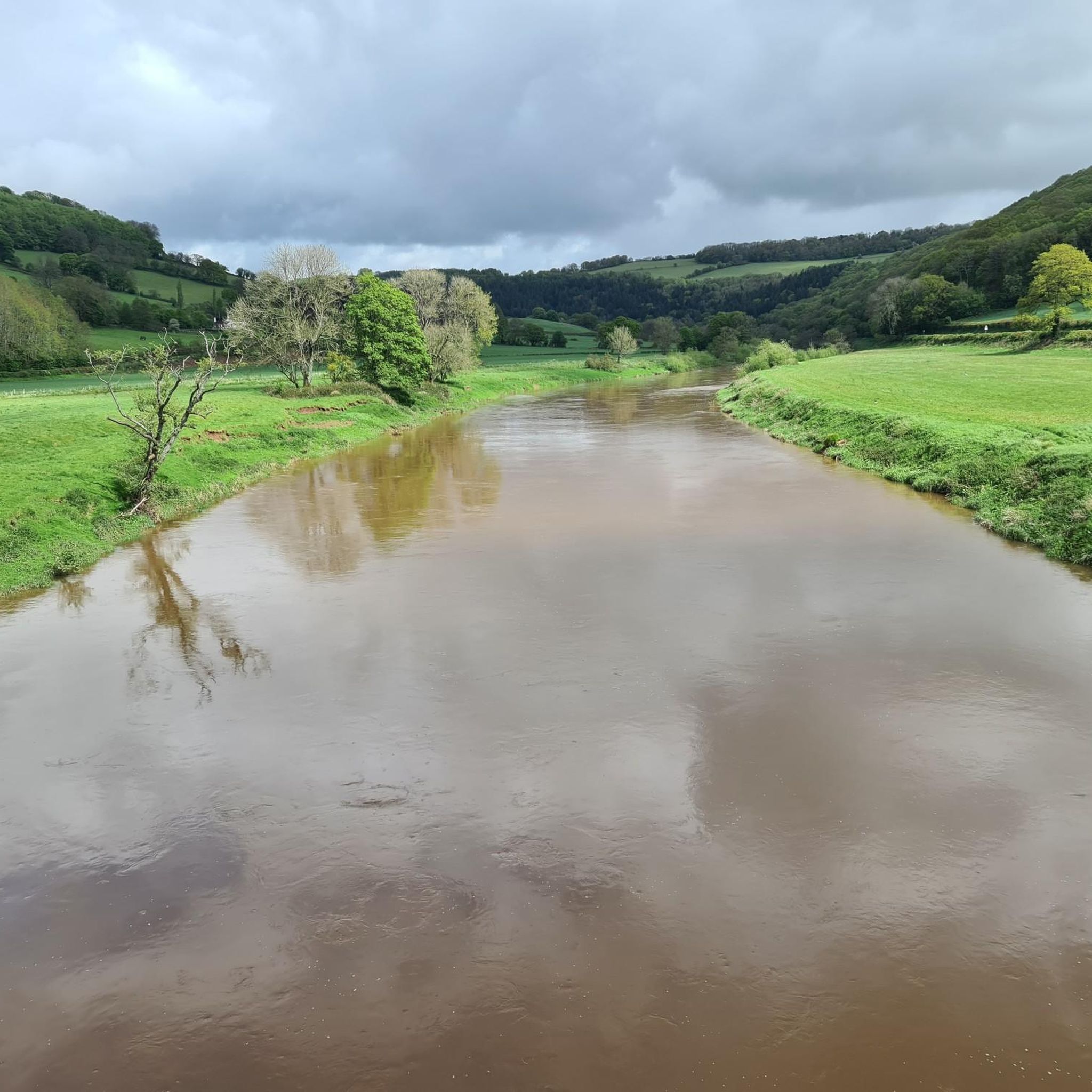
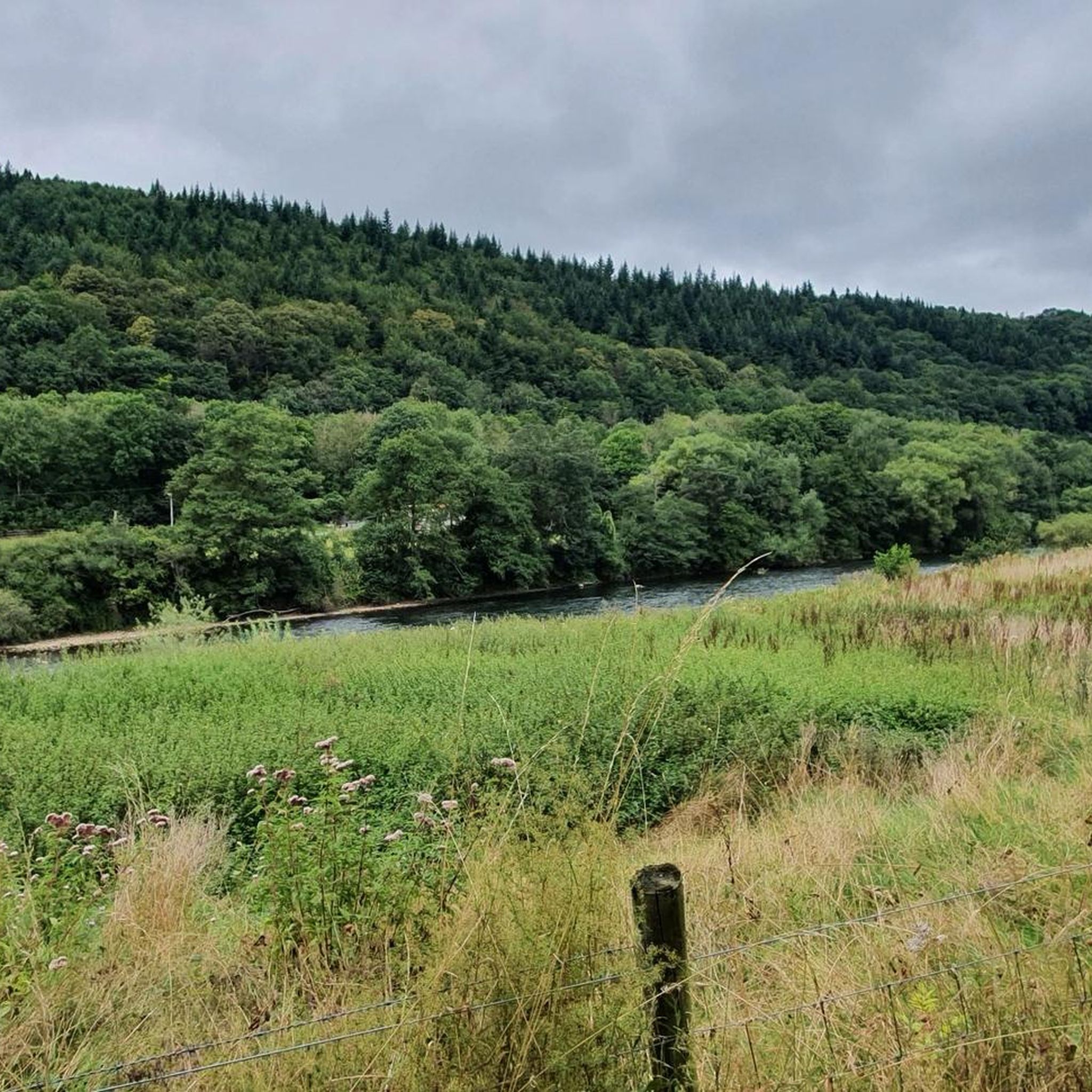
Jogging routes around Tretire With Michaelchurch traverse a landscape characterized by the Wye Valley National Landscape, featuring wooded hills and the meandering River Wye. The area offers varied terrain, from mostly paved surfaces to more challenging paths with significant elevation changes. Runners can explore open countryside and natural paths, providing a diverse environment for outdoor activity. This region in Herefordshire provides a mix of natural beauty and accessible running conditions.
Best jogging routes around Tretire With Michaelchurch
- The most popular…
Last updated: July 6, 2026
5
runners
8.63km
00:56
170m
170m
Moderate run. Good fitness required. Mostly paved surfaces. Suitable for all skill levels.
4
runners
4.97km
00:33
100m
100m
Moderate run. Good fitness required. Mostly paved surfaces. Suitable for all skill levels.

Sign up for free
3
runners
5.04km
00:32
60m
60m
Moderate run. Good fitness required. Mostly paved surfaces. Suitable for all skill levels.
4
runners
11.9km
01:16
120m
120m
Moderate run. Good fitness required. Mostly paved surfaces. Suitable for all skill levels.
5
runners
14.8km
01:41
300m
300m
Moderate run. Good fitness required. Mostly paved surfaces. Suitable for all skill levels.
Get access to more routes and recommendations from other explorers.
Sign up for free
Already have an account?
Our route recommendations are based on thousands of hikes, rides, and runs completed by other people on komoot.
Start today with a free account
Your next adventure awaits.
Login or Signup

Tips from the Community

Garway Hill 366.6m P266 (1203ft) (DoBIH Hill ID: 2857) [JNSA 10985] TP3331 - Garway Hill S6429 FB height 366.832m #960
0
0

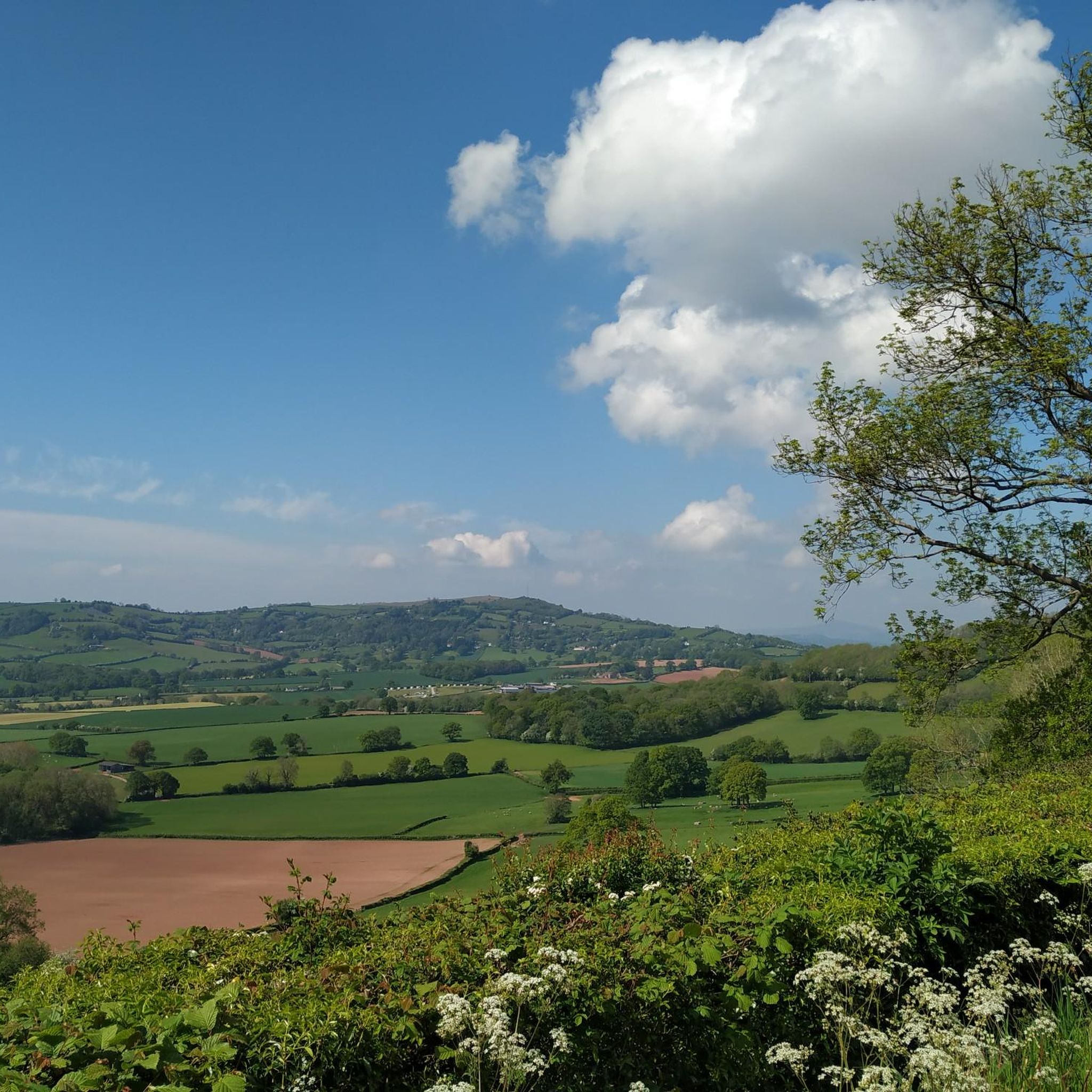
Garway hill is one of the real highlights of the Herefordshire Trail, a proper hill with very fine views in all directions, and ponies!
0
0

Idyllic spot for a village pub, overlooking the cricket pitch.
0
0
360 degree views over 5 counties - worth the ride to the top
0
0


Note for dog walkers - there are sheep and horses present, so dogs need to be kept on lead.
0
0

Garway Hill at 366m is a great hill with amazing views across Herefordshire and into Wales. You can't ride a road bike to the top but you can ride out to the car park and then push up to a view point.
0
0

Garway Hill is a 1,200-foot (366 m) summit in Herefordshire, England. It has a trig-pointed summit and is a UK listed Marilyn. The views from the top are fantastic, with Wales' Black Mountains in the west and the Wye Valley in the east.
4
0
Frequently Asked Questions
How many running routes are available in Tretire With Michaelchurch?
There are over 100 running routes around Tretire With Michaelchurch, offering a wide variety of options for different fitness levels and preferences. The komoot community has explored more than 100 trails in the area.
What kind of terrain can I expect on the running trails in this region?
The running trails around Tretire With Michaelchurch offer a diverse range of terrain. You can expect paths through the scenic Wye Valley National Landscape, featuring wooded hills and the meandering River Wye. The routes include a mix of mostly paved surfaces suitable for all skill levels, as well as more challenging paths with significant elevation changes through open countryside and natural paths.
Are there routes suitable for beginners or those looking for an easy jog?
Yes, Tretire With Michaelchurch offers several easy running routes perfect for beginners or those seeking a relaxed jog. There are 13 easy routes available, such as the Running loop from Glewstone, which is just over 4 km long and has minimal elevation gain.
What do other runners think about the trails in Tretire With Michaelchurch?
The running routes in Tretire With Michaelchurch are highly rated by the komoot community, with an average score of 3.9 stars from over 20 reviews. Runners often praise the scenic beauty of the Wye Valley, the varied terrain, and the peaceful atmosphere of the trails.
Are there any circular running routes in the area?
Yes, many of the running routes around Tretire With Michaelchurch are circular, allowing you to start and finish at the same point. Examples include the popular Royal Arms Pub, Llangrove loop from Llangarron, the Running loop from Llangarron, and the Running loop from Broad Oak.
What natural landmarks or scenic viewpoints can I see while running?
The region is rich in natural beauty. While running, you might encounter stunning views over the Wye Valley from spots like Symonds Yat Rock or Caldwell Rocks. The mysterious King Arthur's Cave is also a notable natural monument in the vicinity of some trails.
Are there historical sites or attractions near the running paths?
Absolutely. The area around Tretire With Michaelchurch is dotted with historical interest. You can find majestic structures like Goodrich Castle, which stands on a wooded hill overlooking the River Wye. Additionally, historic churches such as St. Michael's Church in Michaelchurch, known for its 13th-century wall paintings, add cultural depth to the landscape. For more information on St. Michael's Church, you can visit Wikipedia.
Can I bring my dog on the running trails?
Many trails in the Tretire With Michaelchurch area are suitable for running with dogs, especially those that traverse open countryside and woodland paths. However, it's always advisable to keep dogs on a lead, particularly when passing through farmland with livestock or nature reserves, and to check local signage for any specific restrictions.
Are there family-friendly running options available?
Yes, there are several running routes that are suitable for families, especially the easier, shorter loops with less elevation gain. These routes often follow quieter lanes or well-maintained paths, providing a pleasant experience for all ages. The varied terrain ensures there are options for different family fitness levels.
Where can I park when visiting the running routes?
Parking availability varies by starting point. Many villages like Llangarron, Broad Oak, and Bridstow, which serve as common starting points for routes, often have public parking areas or roadside parking. It's recommended to check specific route details on komoot for parking suggestions near your chosen trail.
What are some unique features of the Wye Valley trails in this area?
The Wye Valley trails near Tretire With Michaelchurch are characterized by the meandering River Wye itself, offering tranquil riverside sections. Unique features include ancient crossings like Kerne Bridge and the picturesque Biblins Suspension Bridge, which provide memorable river views and crossings that can be incorporated into longer runs.
What is the best time of year to go running in Tretire With Michaelchurch?
The Tretire With Michaelchurch area is beautiful year-round. Spring and autumn offer pleasant temperatures and vibrant scenery with blooming wildflowers or colorful foliage. Summer is ideal for longer daylight hours, while winter can provide crisp, quiet runs, though some paths might be muddy or slippery. Always check weather conditions before heading out.
Most popular routes around Tretire With Michaelchurch
Most popular attractions around Tretire With Michaelchurch

Get inspired with the komoot mobile app


Explore more
Browse the best Running Trails & Routes in other regions.
