The best walks and hikes around Bülstedt
4.5
(345)
1,532
hikers
35
hikes
Hiking around Bülstedt offers a network of trails primarily characterized by flat terrain and forested areas. The region features gentle elevation changes, making it suitable for various activity levels. Many routes traverse natural reserves and agricultural landscapes, providing opportunities for quiet walks. The area's geography is defined by its low-lying plains and woodlands, with no significant hills or mountains.
Best hiking trails around Bülstedt
- The most popular hiking route is Forest Path – Hemelsmoor Nature Reserve loop from Steinfeld,…
Last updated: October 5, 2026
4.6
(34)
122
hikers
Easy hike. Great for any fitness level. Easily-accessible paths. Suitable for all skill levels.
5.0
(4)
31
hikers
Easy hike. Great for any fitness level. Easily-accessible paths. Suitable for all skill levels.

4.4
(5)
20
hikers
14.5km
03:41
40m
40m
Moderate hike. Good fitness required. Easily-accessible paths. Suitable for all skill levels.
4.3
(6)
19
hikers
Easy hike. Great for any fitness level. Easily-accessible paths. Suitable for all skill levels.
4.8
(4)
14
hikers
7.53km
01:55
20m
20m
Easy hike. Great for any fitness level. Easily-accessible paths. Suitable for all skill levels.
Get access to more routes and recommendations from other explorers.
Already have an account?
Our route recommendations are based on thousands of hikes, rides, and runs completed by other people on komoot.
Start today with a free account
Your next adventure awaits.
Tips from the Community

A beautiful stretch of nature. With a bit of luck, you might spot a slowworm.
0
0

The starting point/a starting point for the Kempowski's Idyllic North Trail. Parking is also available here.
0
0


The last remnants of the old peat railway are located next to the path at the edge of the forest
3
0

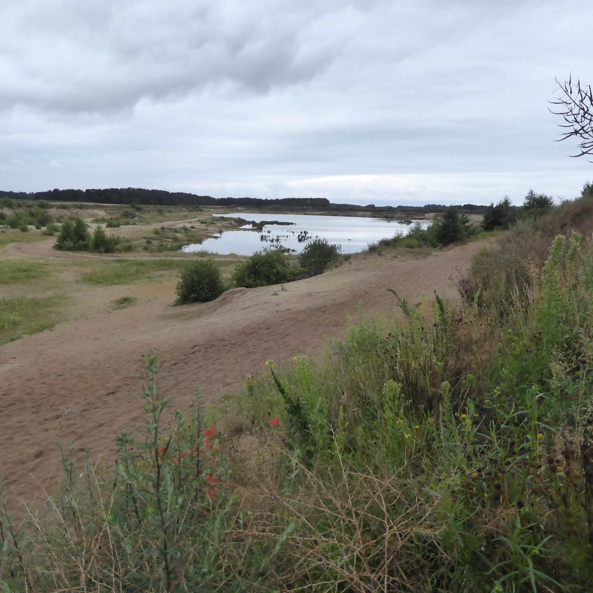
Even if peat extraction is very controversial, I still find these extraction fields and the wide, peat-cleared areas interesting. Either way, it's an impressive sight of millions of years of history and a nice change of pace on the North Trail.
5
0
The nature reserve offers a lot of variety visually. Sometimes with trees, then again open and then there are the peat extraction areas and the route of the peat railway, which you can accompany for a while.
2
0

Incidentally, the high seat is no longer available
1
0
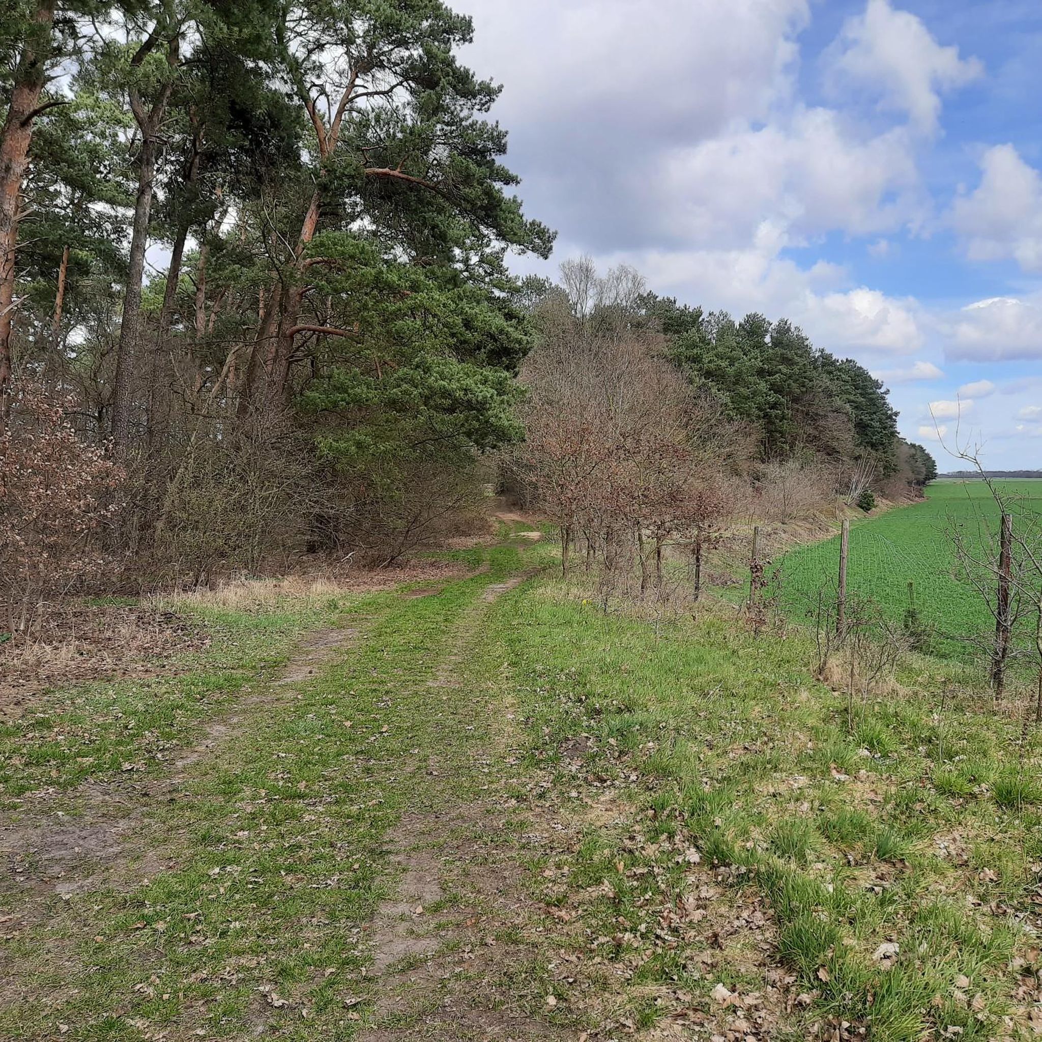
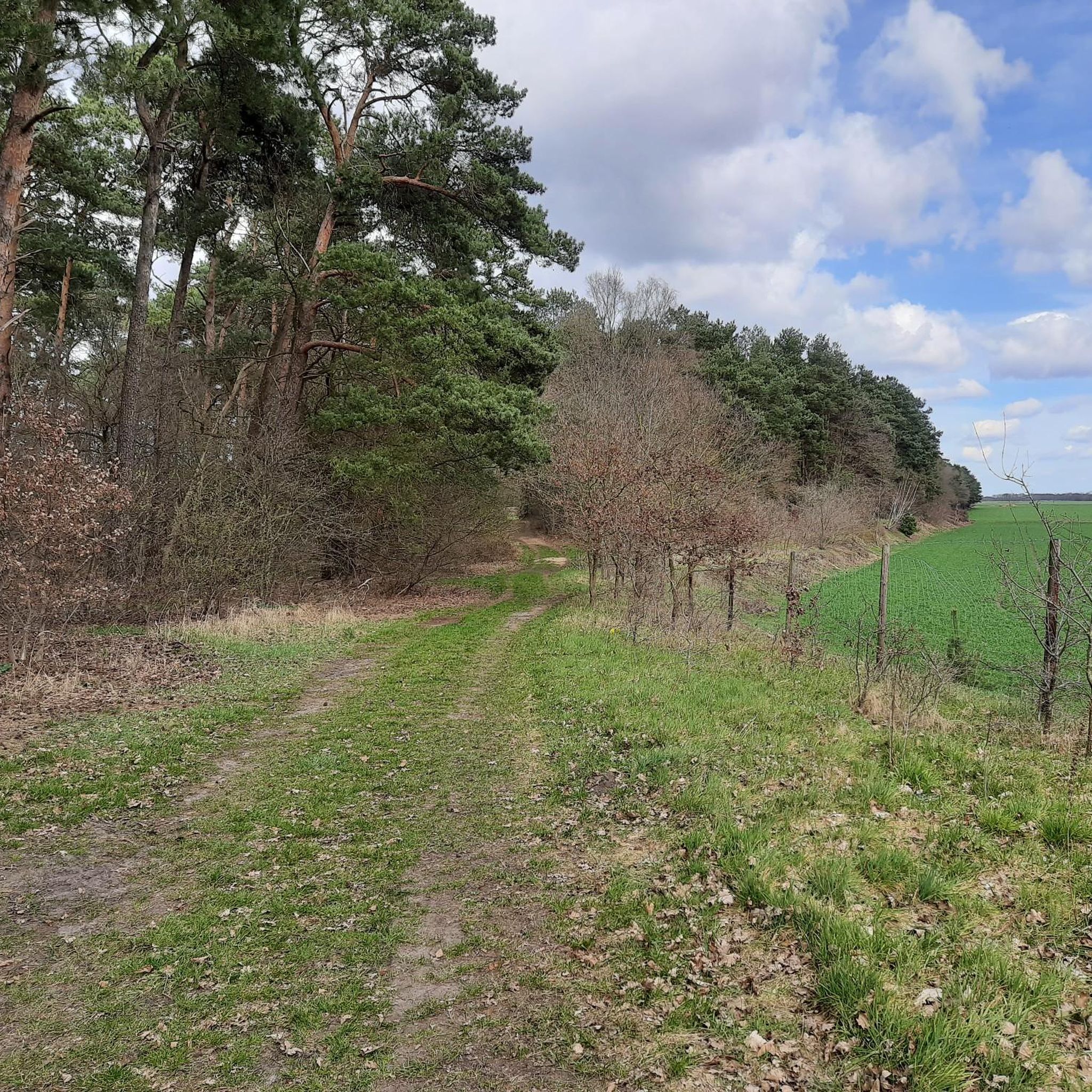
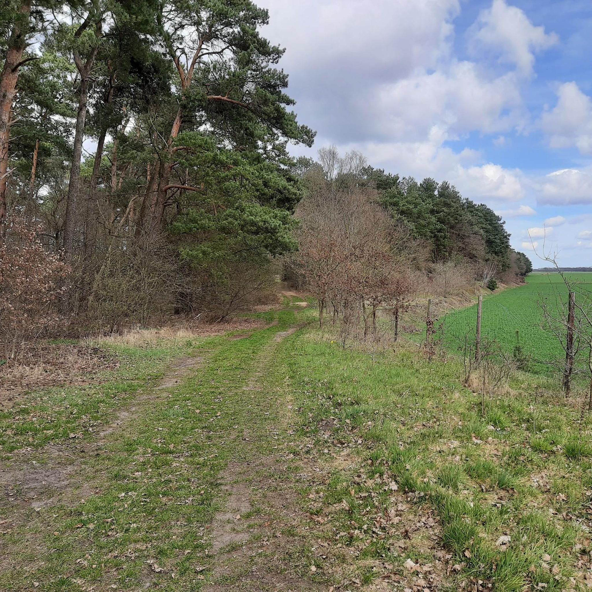
If you want to walk this beautiful grassy path after a rainy spell, you should either wear waterproof shoes or be prepared to hack your way through the undergrowth at one point. A bit of sand has been filled in since the North Trails came into being, but it's an adventure to walk on some days. Otherwise, just take the next route.
1
0
Frequently Asked Questions
How many hiking trails are there in Bülstedt?
Bülstedt offers a network of over 30 hiking trails. The majority, around 25 routes, are classified as easy, making the area accessible for various fitness levels. There are also 6 moderate routes for those seeking a longer challenge.
Are there easy hikes suitable for beginners in Bülstedt?
Yes, Bülstedt is an excellent area for beginners and those looking for easy walks. Most of the trails feature flat terrain and gentle elevation changes. A good option is the Megalithic Tomb Steinfeld 2 – Hunting Stand in the Forest loop from Bullensee und Hemelsmoor, which is 2.1 miles (3.4 km) long and takes less than an hour to complete.
Can I find family-friendly hiking trails around Bülstedt?
Absolutely. The flat and forested nature of Bülstedt's trails makes them ideal for families. Many routes are short and easy, perfect for walks with children. The Forest Path – Hemelsmoor Nature Reserve loop from Steinfeld is a popular 3.4-mile (5.5 km) easy route that explores a beautiful nature reserve, suitable for a family outing.
Are dogs allowed on the hiking trails in Bülstedt?
Generally, dogs are welcome on hiking trails in Bülstedt, especially in the forested and agricultural areas. However, when walking through nature reserves like Hemelsmoor, it's important to keep dogs on a leash to protect local wildlife and flora. Always check local signage for specific rules.
Are there any circular hiking routes in Bülstedt?
Yes, many of the hiking trails in Bülstedt are designed as circular routes, allowing you to start and end at the same point without retracing your steps. For example, the Orchard in Bülstedt loop from Bülstedt is a pleasant 4.7-mile (7.5 km) circular walk through local landscapes.
What kind of landscape can I expect while hiking in Bülstedt?
Hiking in Bülstedt primarily features flat terrain, extensive forest paths, and open agricultural fields. You'll traverse several nature reserves, such as the Hemelsmoor, offering quiet walks through diverse natural settings. There are no significant hills or mountains, making for generally gentle and accessible hikes.
What are some interesting places or landmarks to see near the hiking trails?
While hiking around Bülstedt, you can explore several interesting points. Nearby attractions include the charming Fischerhude Artists' Village, known for its artistic heritage. You might also encounter natural features like Lake Otterstedt or historical sites such as the Megalithic Tomb Steinfeld 2, which is part of a popular hiking loop.
Is public transport available to reach hiking trailheads in Bülstedt?
Public transport options to specific trailheads in Bülstedt can be limited, as many routes start from smaller villages or rural parking areas. It is advisable to check local bus schedules in advance or consider driving to the starting points, where parking is often available.
What is the best time of year to go hiking in Bülstedt?
The best time to hike in Bülstedt is typically from spring through autumn (April to October). During these months, the weather is generally mild and pleasant, and the natural landscapes are vibrant. Winter hikes are also possible, especially on clear, crisp days, but some paths might be muddy or icy.
What do other hikers say about the trails in Bülstedt?
The trails in Bülstedt are highly regarded by the komoot community, with an average rating of 4.5 stars from over 300 reviews. Hikers often praise the quiet woodlands, well-maintained paths, and the peaceful atmosphere of the nature reserves, making it a great destination for a relaxing outdoor experience.
Are there any specific nature reserves to explore in Bülstedt?
Yes, the Hemelsmoor Nature Reserve is a prominent feature of the Bülstedt hiking landscape. Many trails, such as the Hemelsmoor Nature Reserve – Kleine Sandkuhle loop from Steinfeld, traverse this area, offering opportunities to experience its diverse ecosystems and observe local wildlife.
Are there any hiking routes with cafes or places to stop for refreshments?
While many trails in Bülstedt lead through natural and rural areas, some routes might pass through or near small villages where local cafes or inns could offer refreshments. It's always a good idea to check the specific route details or local maps beforehand, and consider bringing your own snacks and drinks, especially on longer hikes.
Most popular attractions around Bülstedt

Get inspired with the komoot mobile app


Explore more
Browse the best Hikes in other regions.
