The best cycling routes around Long Whatton And Diseworth
4.6
(333)
3,866
riders
379
rides
Touring cycling routes around Long Whatton And Diseworth traverse a landscape characterized by river valleys, ancient forests, and disused railway lines. The region features the River Trent, River Soar, and the Erewash Canal, offering generally less challenging routes with picturesque views. Notable features include Charnwood Forest with its hills, and the flat Cloud Trail, providing diverse terrain for cyclists. This area in Leicestershire offers a mix of paved paths and more challenging rides with elevation gains.
Best touring cycling routes…
Last updated: October 9, 2026
5.0
(1)
14
riders
19.4km
01:09
90m
90m
Easy bike ride. Great for any fitness level. Mostly paved surfaces. Suitable for all skill levels.
7
riders
8.55km
00:36
50m
50m
Easy bike ride. Great for any fitness level. Mostly paved surfaces. Suitable for all skill levels.

4
riders
53.4km
03:14
420m
420m
Moderate bike ride. Good fitness required. Mostly paved surfaces. Suitable for all skill levels.
4
riders
Easy bike ride. Great for any fitness level. Mostly paved surfaces. Suitable for all skill levels.
3
riders
28.0km
01:41
210m
210m
Moderate bike ride. Good fitness required. Mostly paved surfaces. Suitable for all skill levels.
Get access to more routes and recommendations from other explorers.
Already have an account?
Our route recommendations are based on thousands of hikes, rides, and runs completed by other people on komoot.
Start today with a free account
Your next adventure awaits.
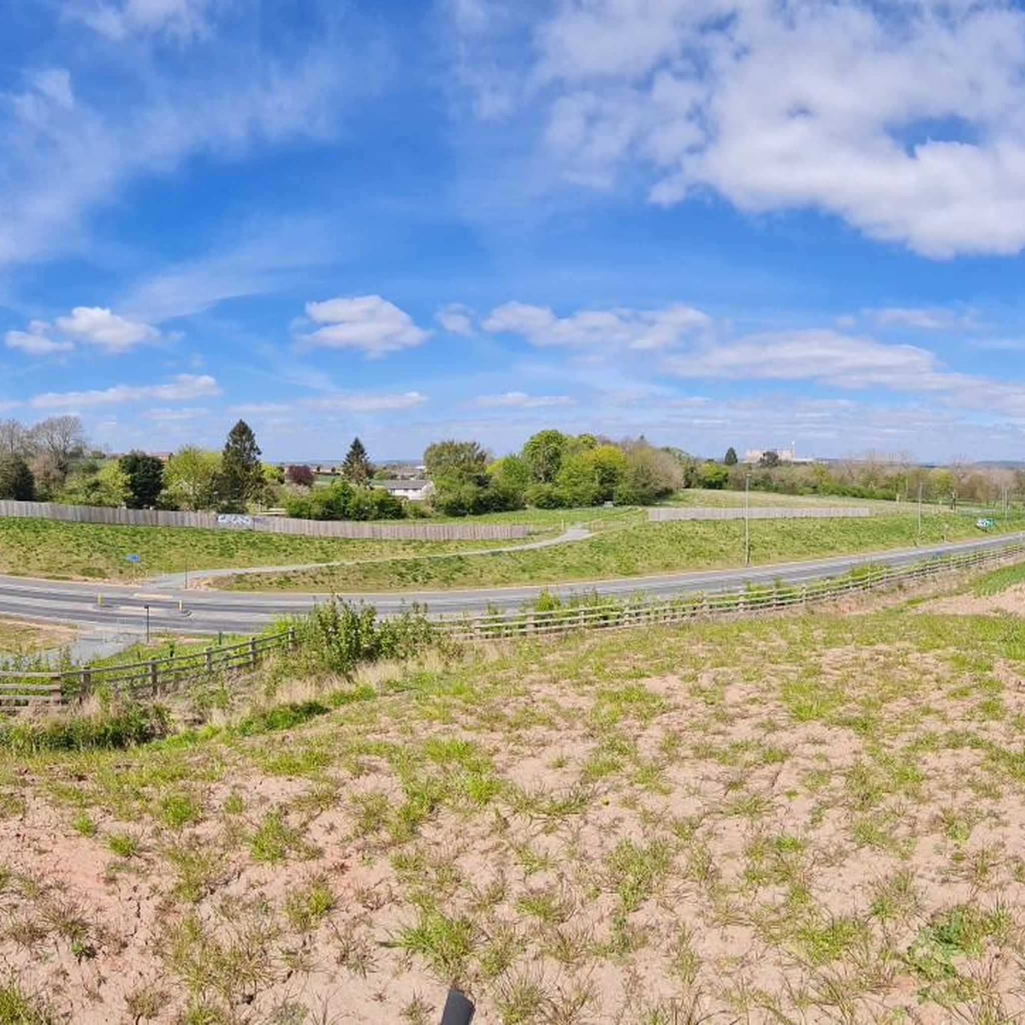
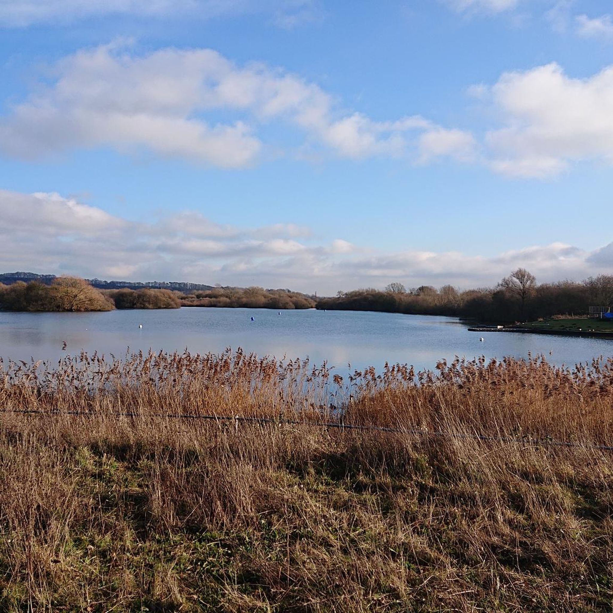
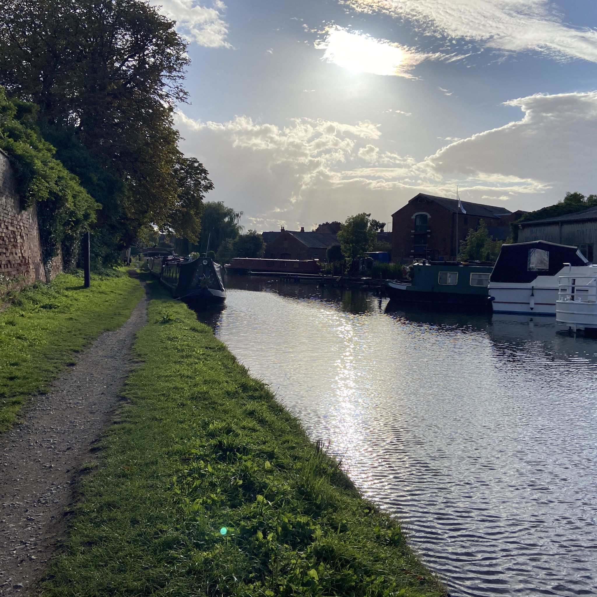
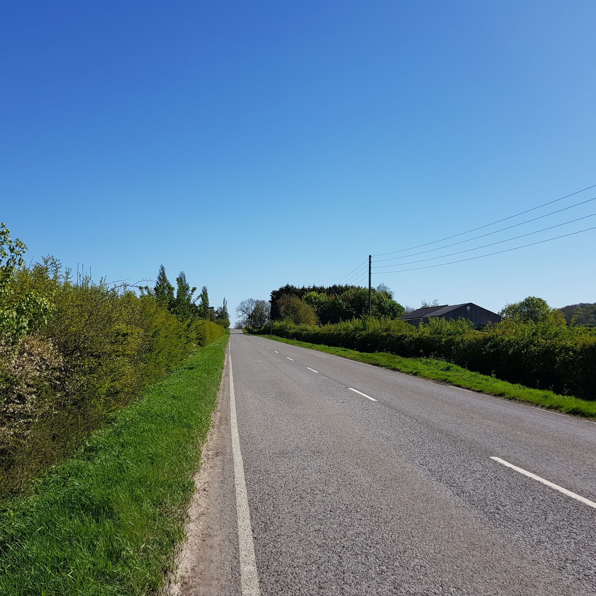

Tips from the Community

I love this bridge. It's worth to stop after when you are back from Elvaston Castle.
0
0
Charming place, the road could be quite busy sometimes!
0
0

Come off the road and down the little footpath towards the River Soar and cross the first bridge... before the second bridge is a little island with a couple of picnic tables. A great spot to eat your packed lunch 😋
0
0
In the village of Long Whatton is this amazing black & white house!
0
0


Cycling is only permitted on the one route through the park, which gets busy with walkers, take it slow in the park. Cafe and toilets in the middle.
2
0
Frequently Asked Questions
How many touring cycling routes are available around Long Whatton And Diseworth?
There are over 440 touring cycling routes available in the Long Whatton And Diseworth area. These routes cater to various skill levels, with a good mix of easy, moderate, and difficult options.
What kind of terrain can I expect on touring cycling routes in this area?
The terrain around Long Whatton And Diseworth is quite diverse. You'll find routes traversing river valleys along the River Trent, River Soar, and Erewash Canal, which are generally less challenging and offer picturesque views. There are also sections of the flat and fast Cloud Trail, a disused railway line. For more challenging rides, routes through Charnwood Forest, like the Swithland Reservoir loop, feature significant elevation gains and spectacular views, particularly from Beacon Hill.
Are there touring cycling routes suitable for beginners or families?
Yes, there are numerous easy touring cycling routes, with over 170 options available. Routes along the river systems, such as the Normanton on Soar Weir – Butt Lane loop from Long Whatton, offer gentle, mostly paved paths ideal for all fitness levels. The Bailey's Plantation loop from Iveshead School is another easy option, perfect for a relaxed ride.
What natural features or landmarks can I see while cycling?
You can explore a variety of natural and historical landmarks. The confluence of the River Trent, River Soar, and Erewash Canal at Trent Lock is a unique waterway landscape. The Attenborough Nature Reserve along the River Trent is a popular bird-watching spot. For impressive vistas, Beacon Hill, the second highest peak in Leicestershire, offers tremendous viewpoints overlooking Charnwood Forest and the Soar Valley. You might also encounter the scenic Blackbrook Reservoir on some routes.
Are there challenging touring cycling routes for experienced cyclists?
Absolutely. For experienced cyclists seeking a challenge, there are over 50 difficult routes. The Swithland Reservoir – Swithland Reservoir loop from Iveshead School is a prime example, covering 53.1 km with a significant elevation gain of over 580 meters, offering a rewarding ride through scenic landscapes.
Can I cycle along disused railway lines in the area?
Yes, the region features the Cloud Trail, a popular disused railway line that provides a flat and fast cycling path. The Garendon Way – Cloud Trail loop from Shepshed is an excellent moderate route that incorporates sections of this trail, linking to areas like Melbourne and offering scenic rides.
What do other touring cyclists enjoy most about the routes in Long Whatton And Diseworth?
The touring cycling routes in Long Whatton And Diseworth are highly rated by the komoot community, with an average score of 4.5 stars from over 340 reviews. Cyclists often praise the diverse terrain, from tranquil river valleys to the challenging hills of Charnwood Forest, and the well-maintained paths like the Cloud Trail. The scenic views and the variety of routes for all abilities are frequently highlighted.
Are there any circular touring cycling routes in Long Whatton And Diseworth?
Many of the touring cycling routes in the area are designed as circular loops, allowing you to start and finish at the same point. Examples include the Normanton on Soar Weir – Butt Lane loop from Long Whatton and the Trent Lock – Start of the Erewash Canal loop from Hathern, providing convenient options for exploration.
Are there places to stop for refreshments along the touring cycling routes?
Yes, the area offers several opportunities for refreshments. Historic villages like Long Whatton and Diseworth often have local pubs or cafes. Trent Lock, a significant canal junction, is known for offering refreshment stops for those exploring the waterways. Planning your route can help you identify specific stops along the way.
Is parking available near the touring cycling routes?
While specific parking locations are not detailed for every route, the villages and towns within the Long Whatton And Diseworth area, such as Shepshed or near Iveshead School, typically offer public parking options. Many routes also start from accessible points where parking might be available, making it convenient to begin your cycling adventure.
How accessible are the touring cycling routes by public transport?
The region's commitment to enhancing cycling infrastructure, including ongoing Local Cycling and Walking Infrastructure Plans (LCWIPs) in the Loughborough area, aims to improve connectivity. While specific public transport links directly to trailheads may vary, major towns in the vicinity are generally well-served by bus routes, and some may offer connections that allow for bike transport, making various starting points accessible.
Are there any hidden gem cycling routes or less-known scenic paths?
Beyond the well-known routes, exploring the quieter paths along the River Wreake or the flood plains of the River Trent near Castle Donington can reveal serene and picturesque cycling experiences. These areas often provide tranquil rides away from busier sections, allowing you to discover the natural beauty of the Leicestershire countryside.
Most popular routes around Long Whatton And Diseworth
Most popular attractions around Long Whatton And Diseworth

Get inspired with the komoot mobile app


Explore more
Browse the best Cycling routes in other regions.
