The best walks and hikes in Landkreis Neustadt an der Waldnaab
4.6
(10070)
41,067
hikers
3,653
hikes
Hiking trails in Landkreis Neustadt an der Waldnaab traverse a diverse landscape of forests, rolling hills, and river valleys in the Upper Palatinate region of Bavaria. The area is characterized by the wild romantic scenery of the Waldnaab Valley, featuring lush woodlands and unique rock formations. Part of the Oberpfälzer Wald, the district offers a blend of natural beauty and extensive trail networks. Hikers can explore varied terrain, from tranquil meadows to more rugged forest paths.
Best hiking trails in…
Last updated: July 9, 2026
4.9
(248)
779
hikers
6.60km
01:48
100m
100m
Easy hike. Great for any fitness level. Easily-accessible paths. Suitable for all skill levels.
4.8
(156)
402
hikers
6.10km
01:34
30m
30m
Easy hike. Great for any fitness level. Easily-accessible paths. Suitable for all skill levels.

Sign up for free
4.7
(87)
244
hikers
8.26km
01:49
140m
140m
Easy hike. Great for any fitness level. Easily-accessible paths. Suitable for all skill levels.
4.3
(34)
99
hikers
12.4km
03:35
310m
310m
Moderate hike. Good fitness required. Easily-accessible paths. Suitable for all skill levels.
4.7
(23)
70
hikers
10.6km
02:54
160m
160m
Moderate hike. Good fitness required. Mostly accessible paths. Sure-footedness required.
4.8
(322)
1,187
hikers
20.3km
05:30
280m
280m
Hard hike. Very good fitness required. Easily-accessible paths. Suitable for all skill levels.
4.9
(191)
594
hikers
5.64km
01:37
140m
140m
Easy hike. Great for any fitness level. Easily-accessible paths. Suitable for all skill levels.
4.3
(11)
35
hikers
10.2km
02:45
140m
140m
Moderate hike. Good fitness required. Easily-accessible paths. Suitable for all skill levels.
4.3
(15)
47
hikers
12.0km
03:25
260m
260m
Moderate hike. Good fitness required. Easily-accessible paths. Suitable for all skill levels.
4.1
(14)
43
hikers
19.5km
05:11
210m
200m
Hard hike. Very good fitness required. Easily-accessible paths. Suitable for all skill levels.
Get access to more routes and recommendations from other explorers.
Sign up for free
Already have an account?
Our route recommendations are based on thousands of hikes, rides, and runs completed by other people on komoot.
Start today with a free account
Your next adventure awaits.
Login or Signup
Popular around Landkreis Neustadt an der Waldnaab
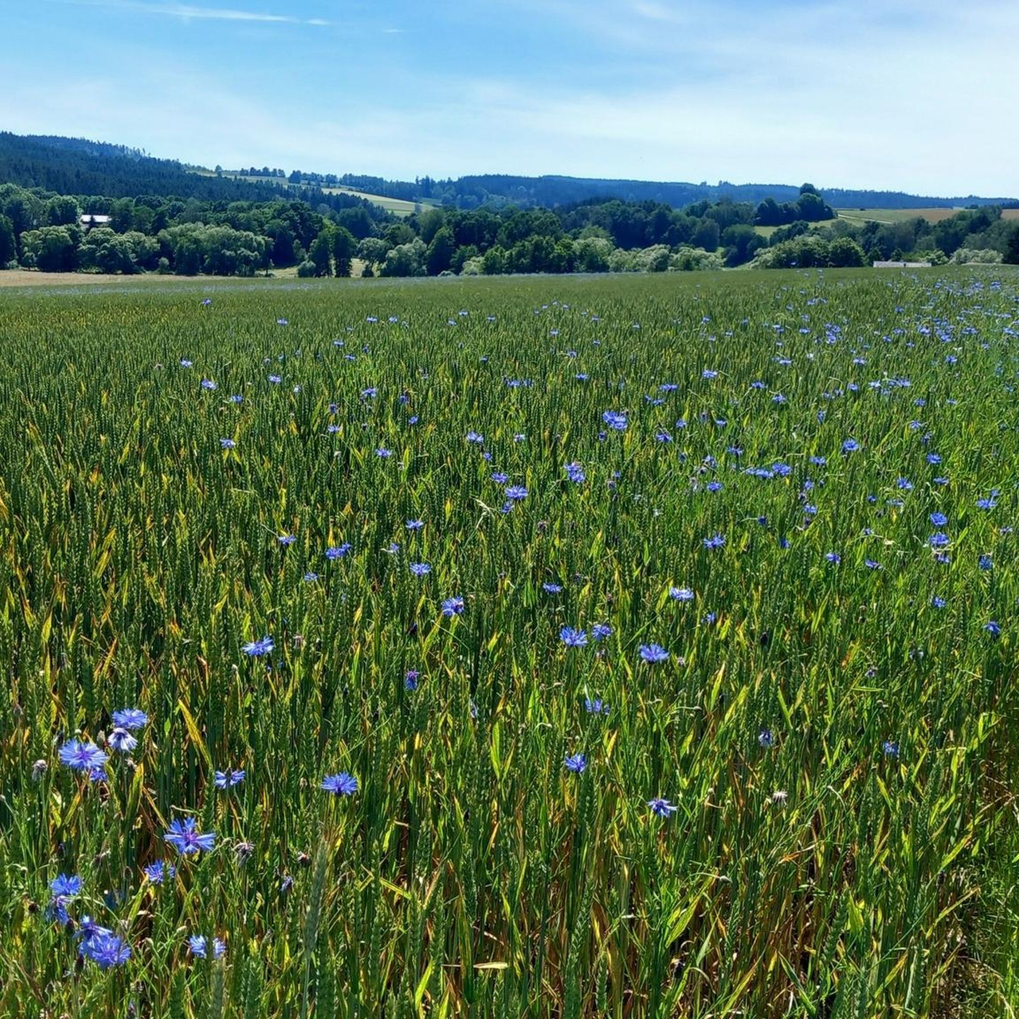
Hiking in Naturpark Nördlicher Oberpfälzer Wald
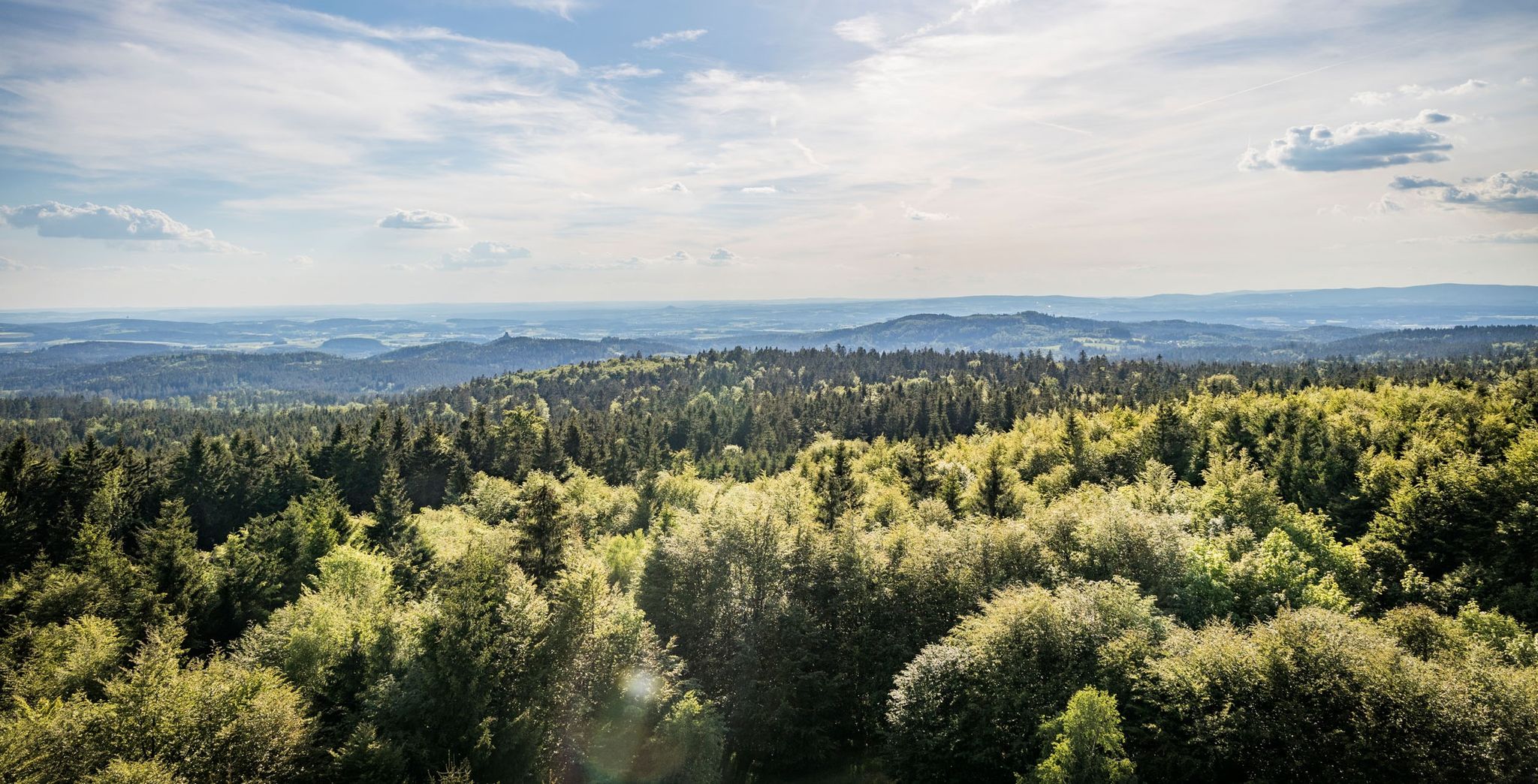
Nurtschweg – Hiking along the German-Czech border

The Goldsteig – 38 stages between Upper Palatinate and Passau

Goldsteig — The best routes for long distance hiking in Eastern Bavaria
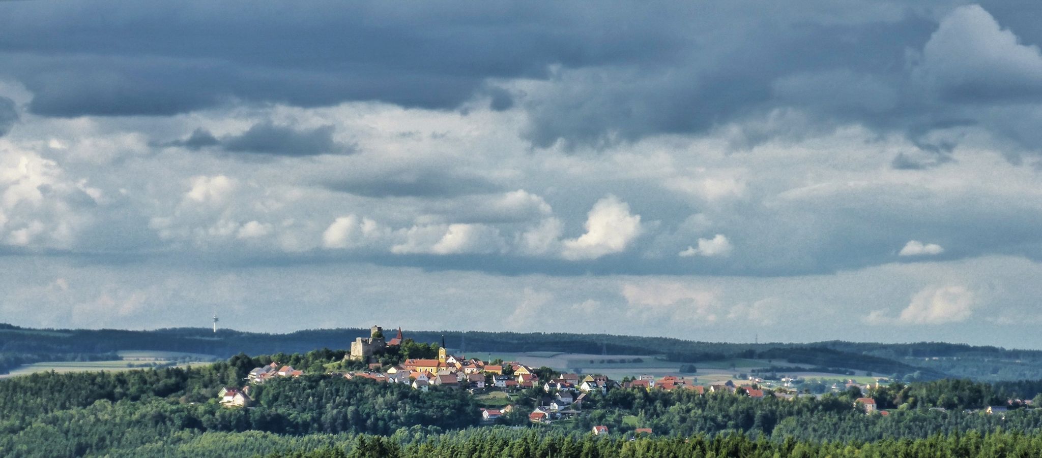
The Upper Palatinate Castle Trail — 9 days in picturesque northern Bavaria

The National Natural Landscapes in Bavaria
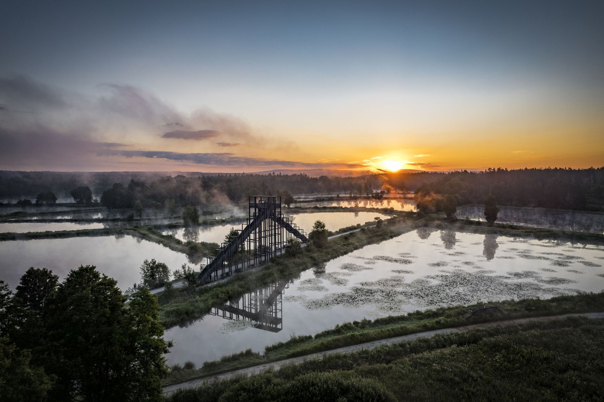
How refreshing! Trails by the water in the Upper Palatinate Forest

#GoFurther – discover the views of Germany!
On the 'Kultouren' through the Upper Palatine Forest
Hike the Glass Cutter Trail through the Upper Palatinate Forest
Other adventures in Landkreis Neustadt an der Waldnaab


Tips from the Community

always an impressive experience to explore the beautiful area here by bike
0
1
again and again an impressive experience to explore the wonderful area here by bike
0
0


You can also just drive through the Lerau here ;-)
0
1

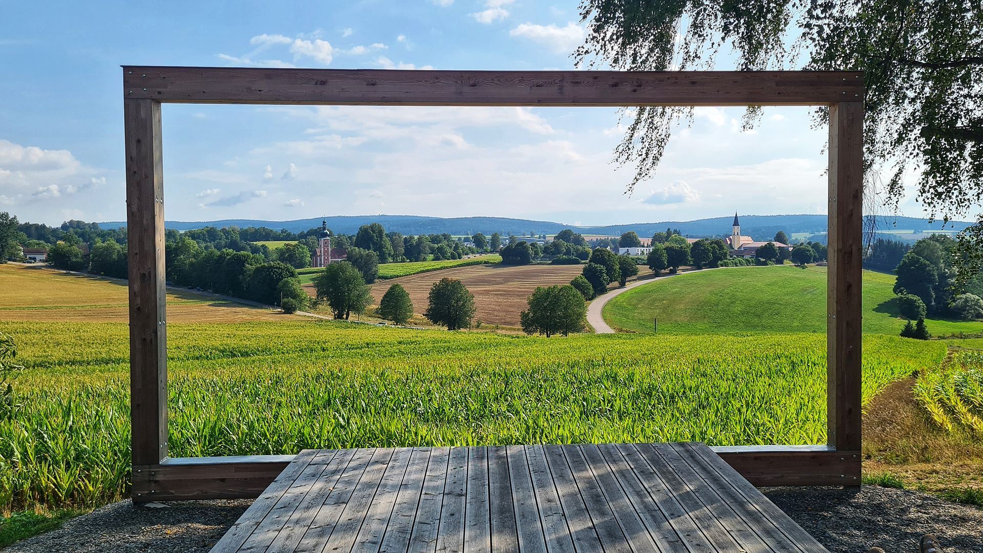
View of the parish church of Beidl.
0
0

It's a shame there's nothing to see. The information in the entrance area states "visits not possible" and advises you to contact the tourist information office, but there's no information about where it's located.
2
0
Quietly located, beautiful pond with two benches, ideal for a short break.
0
0
Frequently Asked Questions
How many hiking trails are available in Landkreis Neustadt an der Waldnaab?
Landkreis Neustadt an der Waldnaab offers a vast network of over 3,600 hiking trails. This includes a wide range of options, from leisurely strolls to more challenging routes, catering to all experience levels.
What kind of terrain can I expect on hikes in this region?
The region is characterized by diverse terrain, including lush forests, rolling hills, and picturesque river valleys, particularly along the Waldnaab River. You'll encounter a mix of well-maintained paths, natural forest floors, and some rocky sections, especially in areas like the Waldnaab Valley with its unique rock formations.
Are there easy hiking trails suitable for beginners or families?
Yes, there are over 2,100 easy trails perfect for beginners or families. A great option is the Experience the Rußweiher nature reserve route, which is an easy 6.1 km path offering tranquil views. Another family-friendly choice is the The boulder – finding peace trails from Floß, an 8.3 km trail through forests and open landscapes.
Can I find challenging or difficult hikes in Landkreis Neustadt an der Waldnaab?
For experienced hikers seeking a challenge, there are over 80 difficult routes available. One such demanding option is the Kammerwagen – Waldnaab Valley loop from Waldnaabtal, a nearly 20 km route with significant elevation changes. Another difficult trail is the Pfalzgraf-Friedrich Trail around Vohenstrauß, which spans over 19 km.
What natural attractions or landmarks can I see while hiking?
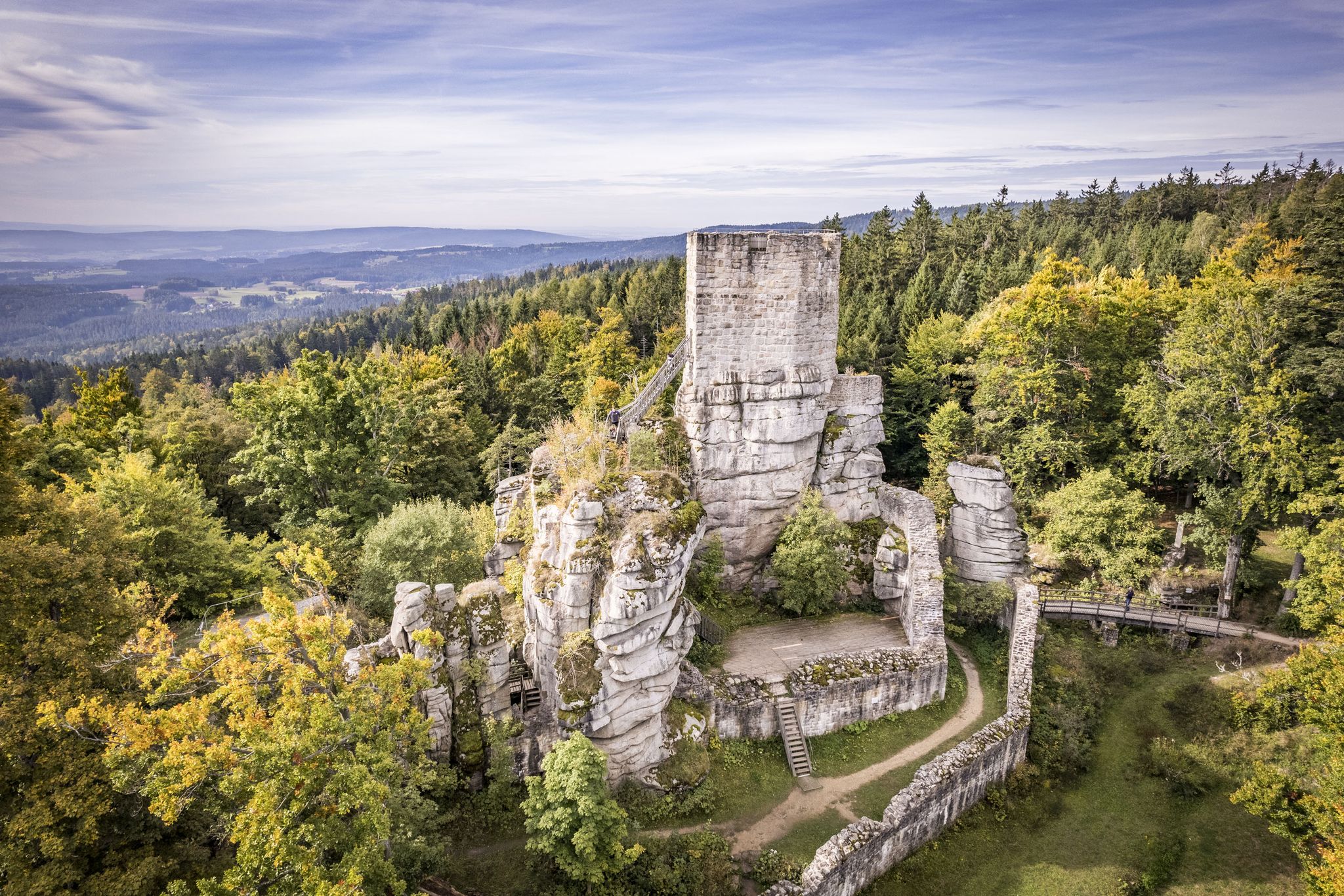
Many trails lead to significant natural and historical landmarks. You can explore the wild romantic scenery of the Waldnaab Valley, known for its unique rock formations. The Lerau Valley also offers impressive natural beauty. For historical sights, the Leuchtenberg Castle Ruins provide breathtaking panoramic views, and the Schellenberg Castle Ruins and Observation Tower is another notable point of interest.
Are there any long-distance hiking trails passing through the region?
Yes, the renowned Goldsteig quality hiking trail, one of Germany's longest and most diverse long-distance paths, runs directly through Landkreis Neustadt an der Waldnaab. It offers multiple stages with varying difficulty levels, allowing for extended hiking adventures.
What is the best time of year to go hiking in Landkreis Neustadt an der Waldnaab?
The best seasons for hiking are spring and autumn. Spring brings vibrant wildflowers and fresh greenery, while autumn offers spectacular fall foliage. The climate during these times is generally pleasant, making for ideal hiking conditions. However, the region's natural beauty changes with the seasons, offering unique experiences year-round.
Are there any themed or educational trails available?
Yes, the region features several themed trails designed to enhance the hiking experience. An example is the Ilsenbach Sculpture Trail, which combines art with nature. The Schönwerth-Sagen- und Märchenweg (legends and fairy tales trail) also offers an engaging, educational experience.
Are there any hikes with particularly good viewpoints?
Absolutely. Many trails in the region offer excellent viewpoints. The Leuchtenberg Castle Ruins are particularly noted for their breathtaking panoramic views over the valley. The Over the Haselstein to the Mittelpunkt Mitteleuropas route also promises scenic vistas.
What do other hikers enjoy most about hiking in Landkreis Neustadt an der Waldnaab?
The area is highly rated by the komoot community, with an average score of 4.6 stars from over 9,400 reviews. Reviewers often praise the diverse landscapes, the wild romantic scenery of the Waldnaab Valley, and the extensive network of well-maintained trails that cater to all abilities.
Are there any circular hiking routes in the area?
Yes, many routes in the region are designed as circular trails, offering convenient starting and ending points. The Long Waldnaabtal riverside loop is a popular 6.6 km easy circular route that follows the scenic Waldnaab River. Another option is the Leuchtenberg Castle Ruins – View of the Wolfslohklamm loop from Leuchtenberg, an easy 5.6 km loop.
Most popular routes in Landkreis Neustadt an der Waldnaab
Most popular attractions in Landkreis Neustadt an der Waldnaab

Get inspired with the komoot mobile app


Didn’t find what you were looking for?
Check out more Hikes throughout Landkreis Neustadt an der Waldnaab below and find the perfect route in your destination.
Explore more
Browse the best Hikes in other regions.
